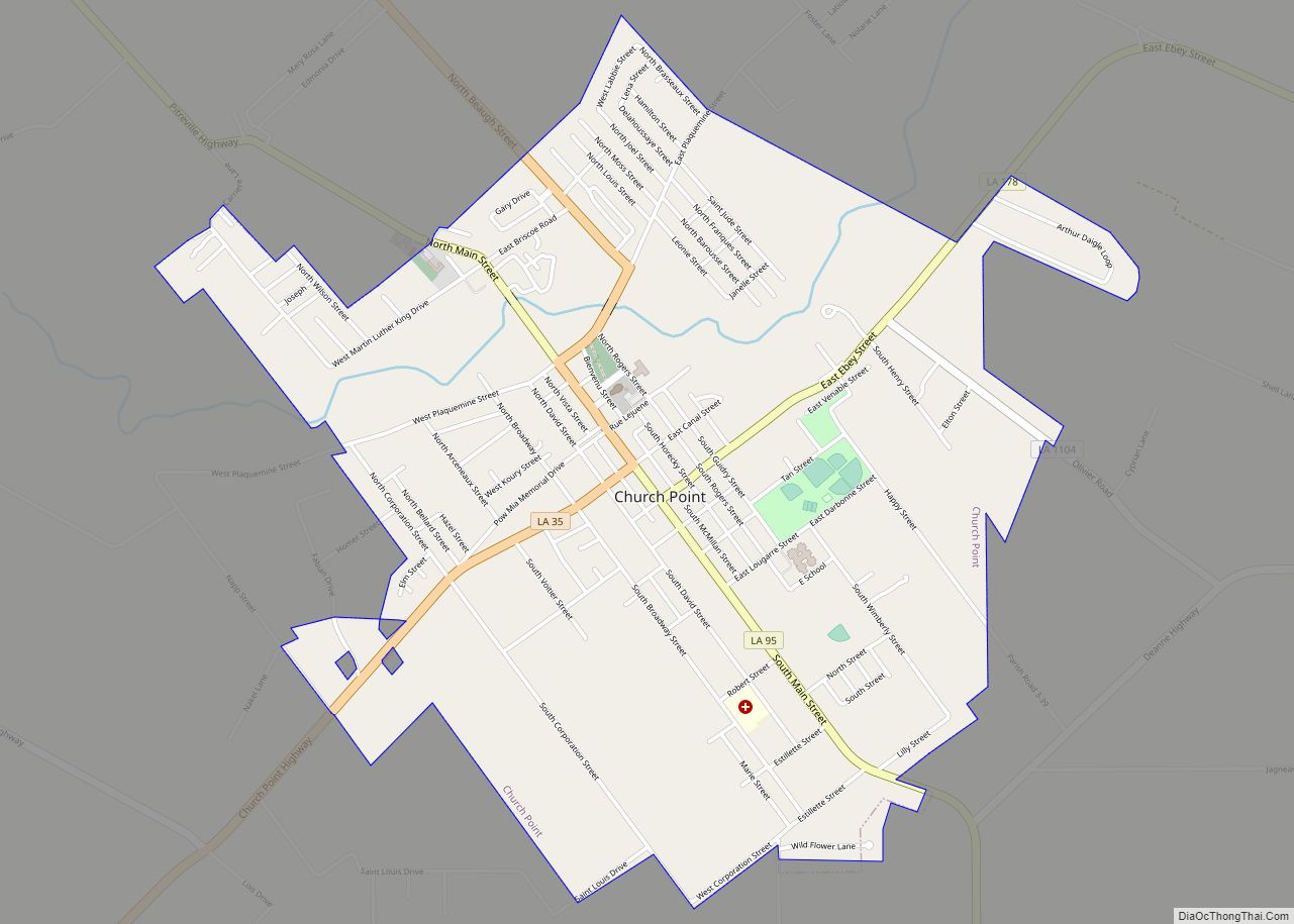
Church Point (French: Pointe-à-l’Église) is a town in Acadia Parish, Louisiana, United States. The population was 4,560 at the 2010 census. It is part of the Crowley Micropolitan Statistical Area. Church Point is known as the Buggy Capital of the World as it used to be host to the annual Buggy Festival which has since gone defunct.
| Name: | Church Point town |
|---|---|
| LSAD Code: | 43 |
| LSAD Description: | town (suffix) |
| State: | Louisiana |
| County: | Acadia Parish |
| Elevation: | 46 ft (14 m) |
| Total Area: | 2.89 sq mi (7.50 km²) |
| Land Area: | 2.89 sq mi (7.50 km²) |
| Water Area: | 0.00 sq mi (0.00 km²) |
| Total Population: | 4,179 |
| Population Density: | 1,444.02/sq mi (557.46/km²) |
| Area code: | 337 |
| FIPS code: | 2215465 |
| Website: | www.churchpoint.org |
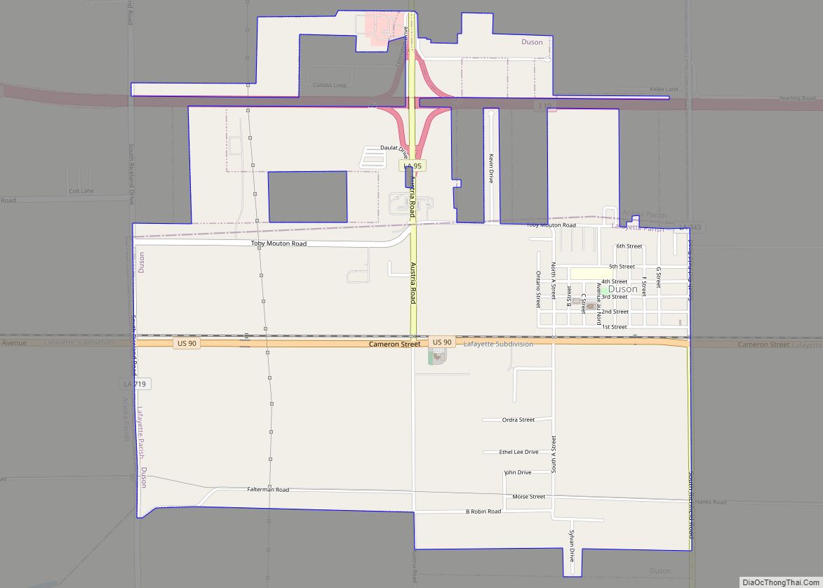
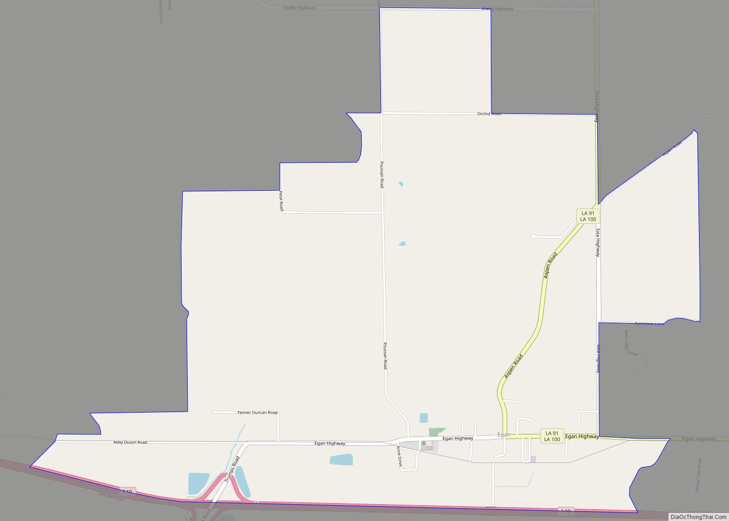
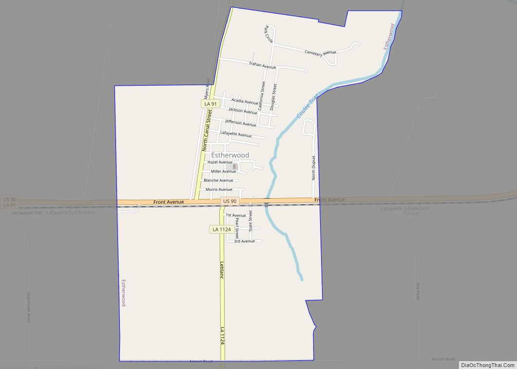
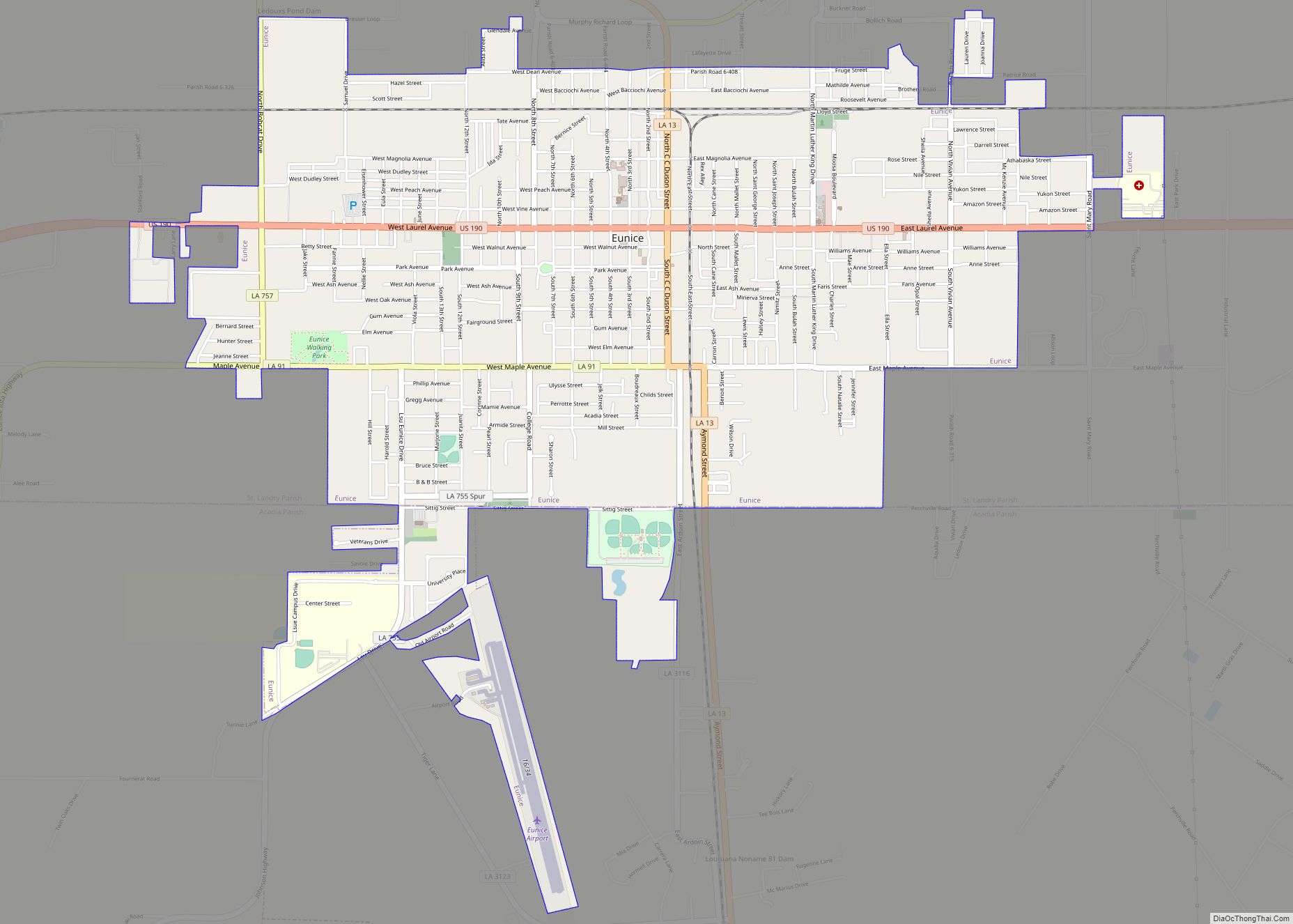
Online Interactive Map
Click on ![]() to view map in "full screen" mode.
to view map in "full screen" mode.
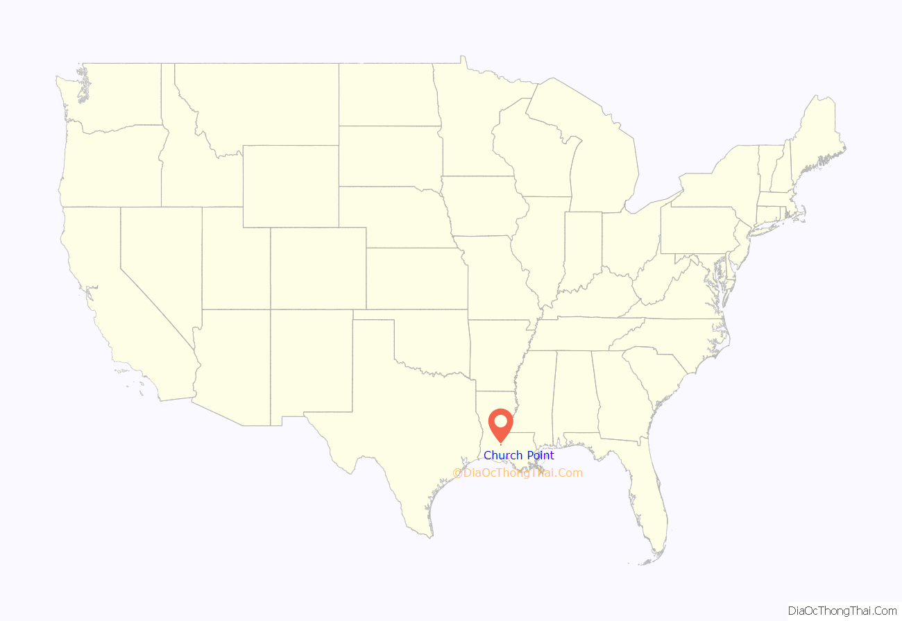
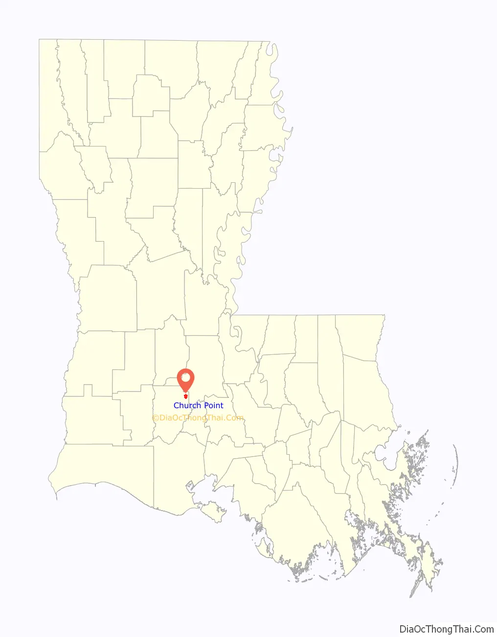
Church Point location map. Where is Church Point town?
History
In the late 18th century, French settlers from Nova Scotia (Acadie) Canada, created clearings by burning the underbrush, leaving what they called a brûlé, or “burn”, much as the Native Americans in the area had created a “burn” to promote new grass to attract bison and other grazing and browsing animals.
One of these clearings was created on a slough off Bayou Mermentau, near where the slough came to a point. This new clearing became known as Plaquemine Brûlé in 1843 when Etienne d’Aigle III, a descendant of immigrants from Quebec, became the first settler in the area, which at that time was in the middle of Opelousas Parish (later St. Landry Parish), which stretched from the Atchafalaya River to the Sabine River.
Plaquemine is an Atakapa word for the native Louisiana persimmon. The French term Plaquemine Brûlé is translated into English as “Burnt Persimmon” – a result of the burning of the brush and other woody growth, which apparently contained persimmon trees, during the widening of a slough off Bayou Mermentau to accommodate barge travel for local farmers.
As more families were attracted to the area, Jesuit missionaries fulfilled their spiritual needs by establishing a chapel in 1848 on land donated by the d’Aigle brothers Etienne (III) and Joseph (“José”). The church was known as La Chapelle de la pointe de Plaquemine Brûlé (in English, “The Church at the point of Burnt Persimmon”). The English term was later shortened to “Church Point” to refer to the spire on top of the church which could be seen, and traversed to, for miles in this frontier area, and translated back into French as La Pointe de l’Eglise.
“Plaquemine Brûlé was considered part of the frontier for the next several decades, as there were no railroads and the swampy terrain made overland travel difficult. Early pioneers to the area requested land grants along the bayou only large enough to satisfy their families’ immediate needs. Many families raised cattle, which roamed freely on the open range of the prairie.” [2]
The town’s first school was established in 1856, providing encouragement for the community to grow further. The first post office for the town of “Church Point” was established in the area on September 29, 1873, marking the settlement’s first official recognition as a community. Thirteen years later, residents of the town voted with those of surrounding communities to form a new parish known as Acadia.
Church Point Road Map
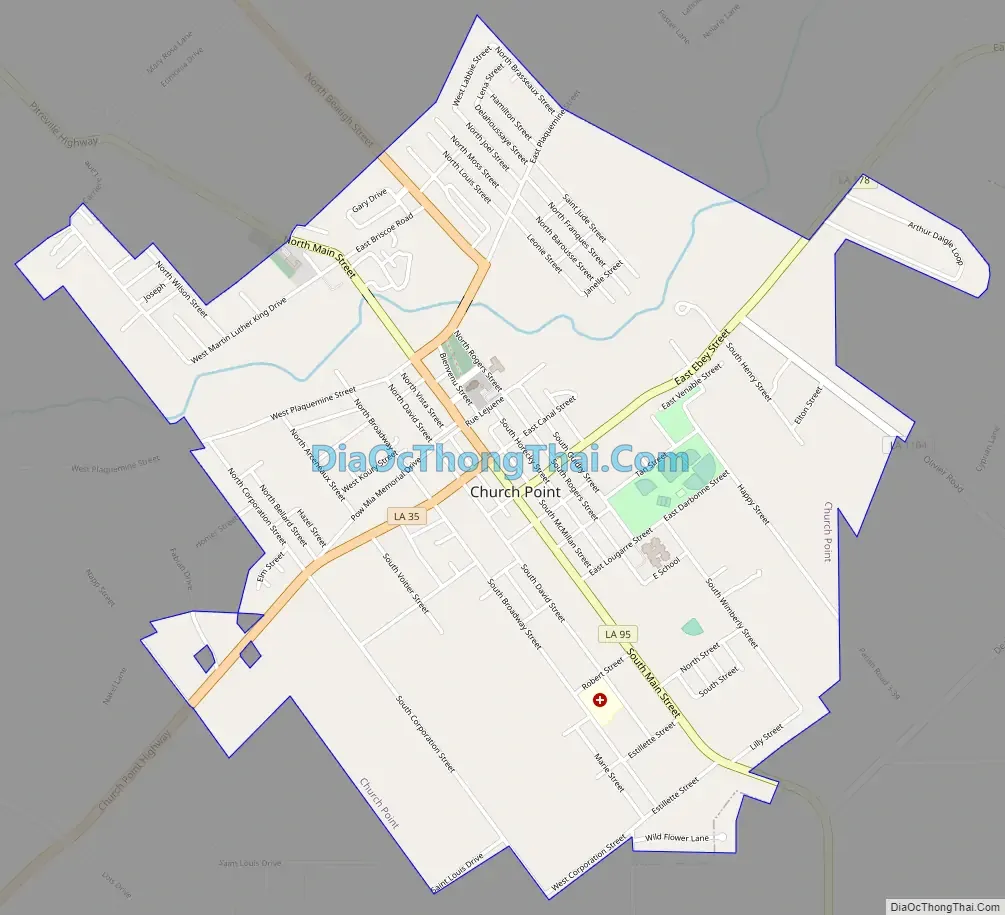
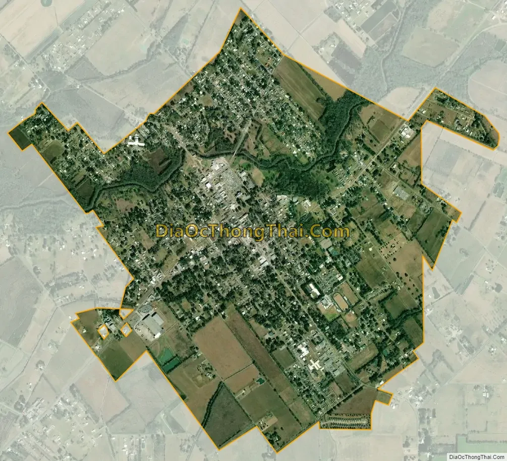
Church Point city Satellite Map
Geography
Church Point is located at 30°24′17″N 92°13′1″W / 30.40472°N 92.21694°W / 30.40472; -92.21694 (30.404592, -92.216893).
According to the United States Census Bureau, the town has a total area of 2.9 square miles (7.5 km), all land.
See also
Map of Louisiana State and its subdivision:- Acadia
- Allen
- Ascension
- Assumption
- Avoyelles
- Beauregard
- Bienville
- Bossier
- Caddo
- Calcasieu
- Caldwell
- Cameron
- Catahoula
- Claiborne
- Concordia
- De Soto
- East Baton Rouge
- East Carroll
- East Feliciana
- Evangeline
- Franklin
- Grant
- Iberia
- Iberville
- Jackson
- Jefferson
- Jefferson Davis
- La Salle
- Lafayette
- Lafourche
- Lincoln
- Livingston
- Madison
- Morehouse
- Natchitoches
- Orleans
- Ouachita
- Plaquemines
- Pointe Coupee
- Rapides
- Red River
- Richland
- Sabine
- Saint Bernard
- Saint Charles
- Saint Helena
- Saint James
- Saint John the Baptist
- Saint Landry
- Saint Martin
- Saint Mary
- Saint Tammany
- Tangipahoa
- Tensas
- Terrebonne
- Union
- Vermilion
- Vernon
- Washington
- Webster
- West Baton Rouge
- West Carroll
- West Feliciana
- Winn
- Alabama
- Alaska
- Arizona
- Arkansas
- California
- Colorado
- Connecticut
- Delaware
- District of Columbia
- Florida
- Georgia
- Hawaii
- Idaho
- Illinois
- Indiana
- Iowa
- Kansas
- Kentucky
- Louisiana
- Maine
- Maryland
- Massachusetts
- Michigan
- Minnesota
- Mississippi
- Missouri
- Montana
- Nebraska
- Nevada
- New Hampshire
- New Jersey
- New Mexico
- New York
- North Carolina
- North Dakota
- Ohio
- Oklahoma
- Oregon
- Pennsylvania
- Rhode Island
- South Carolina
- South Dakota
- Tennessee
- Texas
- Utah
- Vermont
- Virginia
- Washington
- West Virginia
- Wisconsin
- Wyoming