Columbia is a town in, and the parish seat of, Caldwell Parish, Louisiana, United States. The population was 277 in 2020.
| Name: | Columbia town |
|---|---|
| LSAD Code: | 43 |
| LSAD Description: | town (suffix) |
| State: | Louisiana |
| County: | Caldwell Parish |
| Founded: | 1827 |
| Elevation: | 75 ft (23 m) |
| Total Area: | 0.77 sq mi (2.00 km²) |
| Land Area: | 0.76 sq mi (1.98 km²) |
| Water Area: | 0.01 sq mi (0.02 km²) |
| Total Population: | 277 |
| Population Density: | 362.57/sq mi (139.94/km²) |
| ZIP code: | 71418 |
| Area code: | 318 |
| FIPS code: | 2216830 |
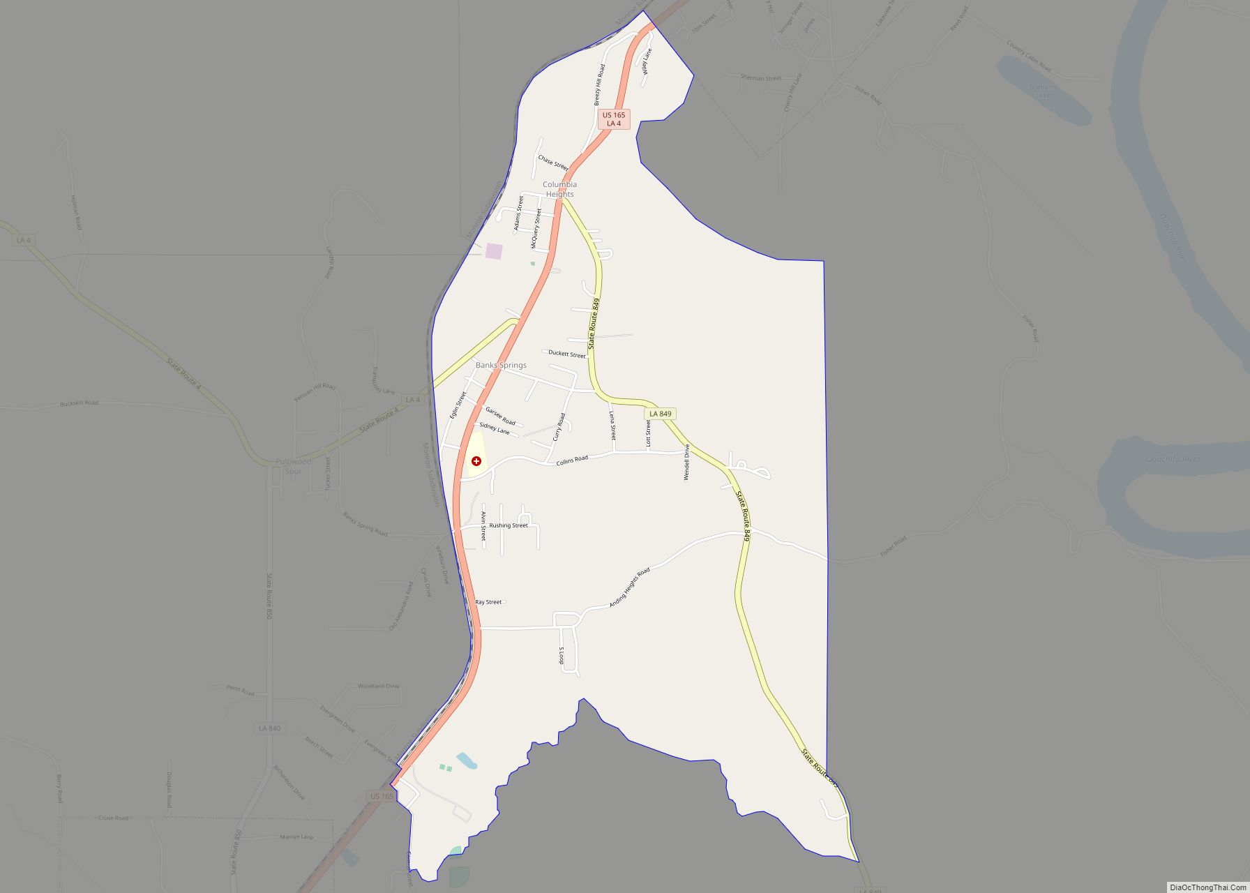
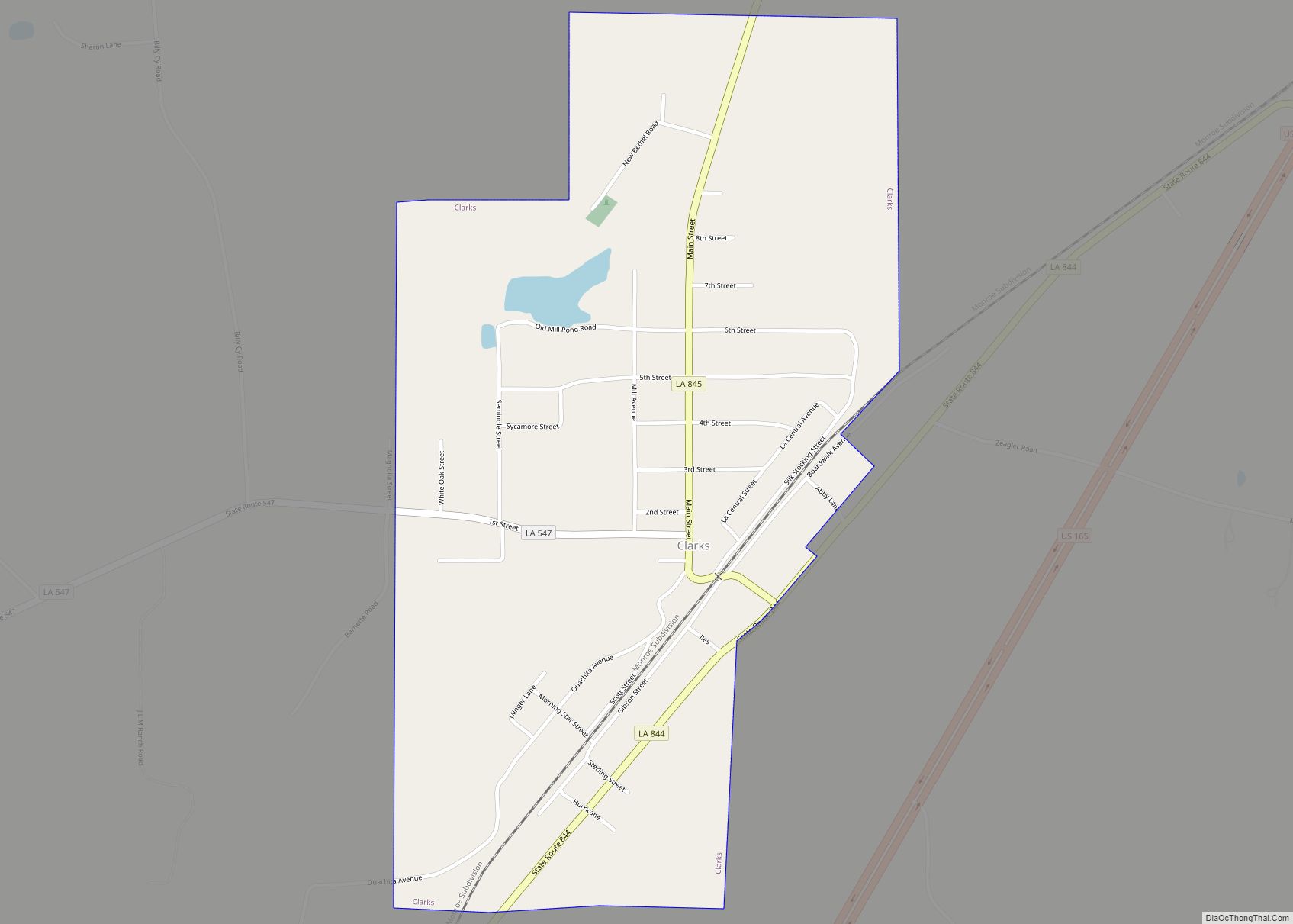
Online Interactive Map
Click on ![]() to view map in "full screen" mode.
to view map in "full screen" mode.
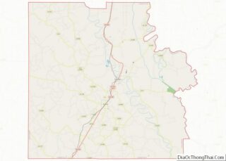
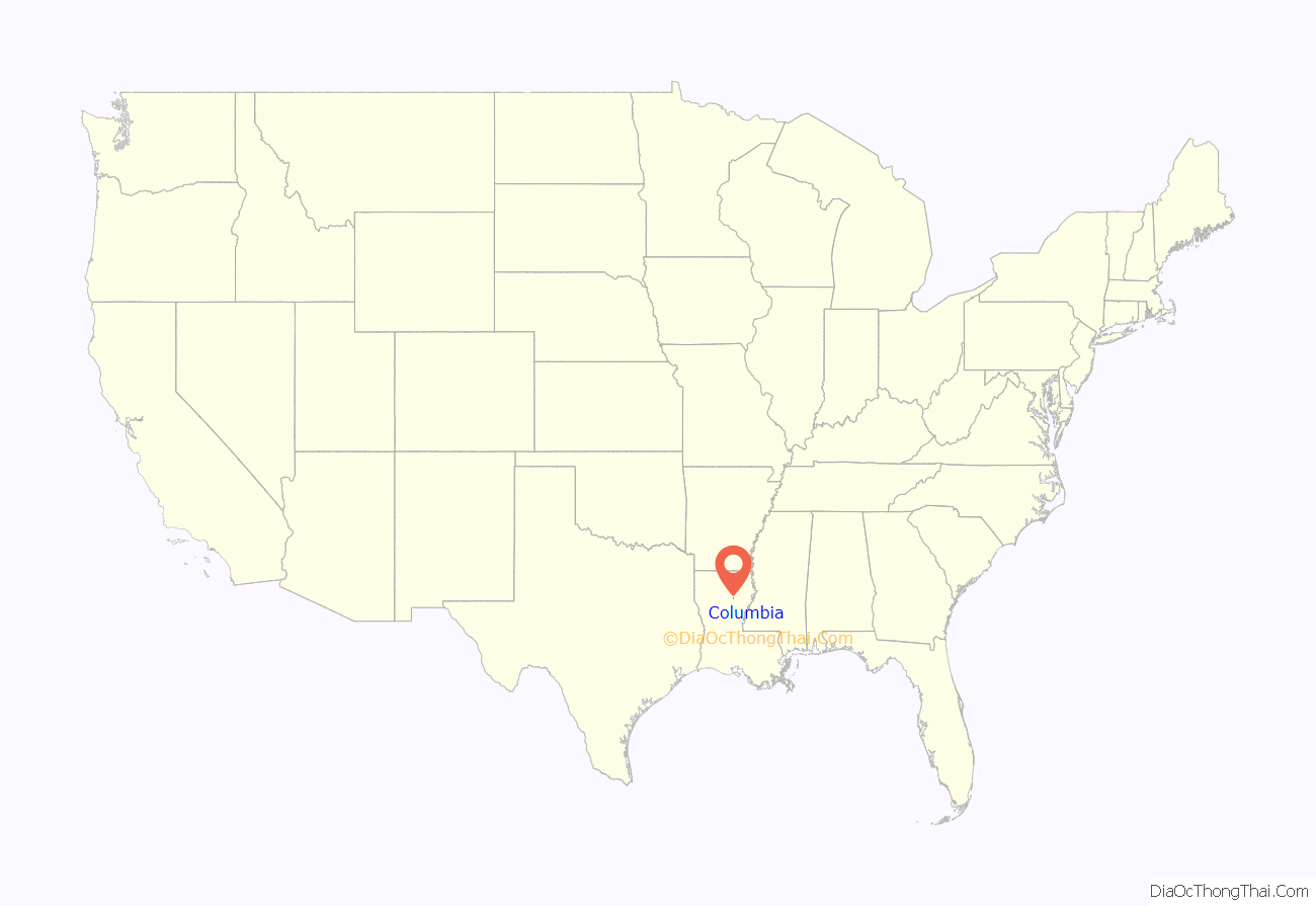
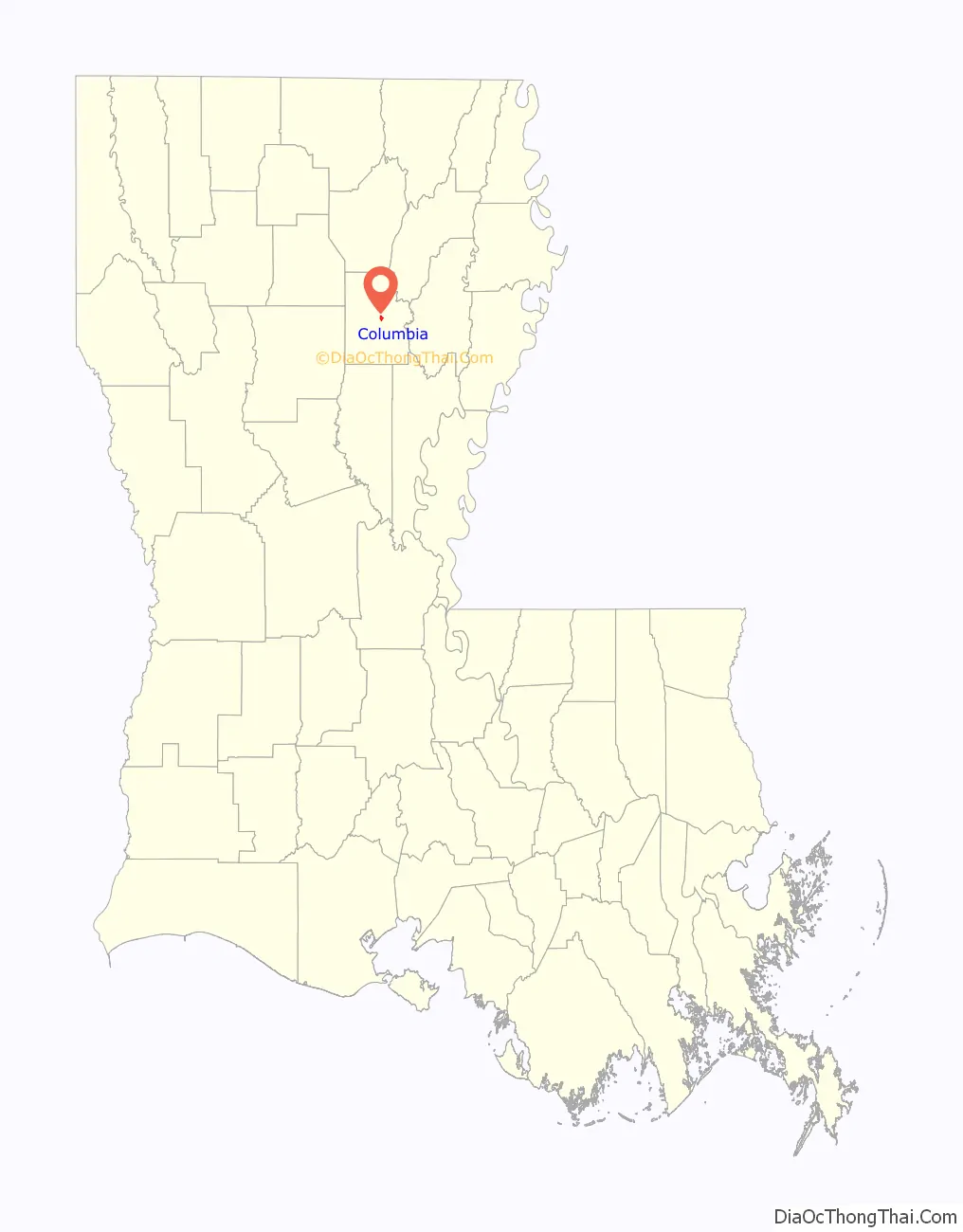
Columbia location map. Where is Columbia town?
History
The land that became Columbia was first cleared by Daniel Humphries in 1827. A store was built a few years later the only settlement between Monroe, Louisiana and the settlements of the Black River was formed. The harbor became a busy port for shipping cotton by steamboats and Packet boats until the arrival of the railroad. In February 1864 Columbia was the location of a skirmish between Federal and Confederate troops during the Civil War and there are several plantations in the area.
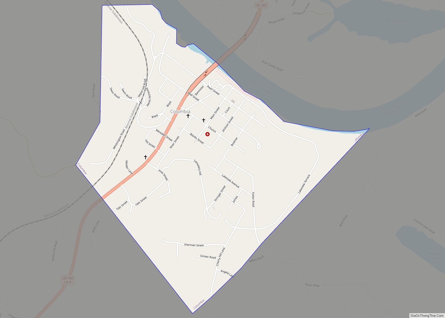
Columbia Road Map
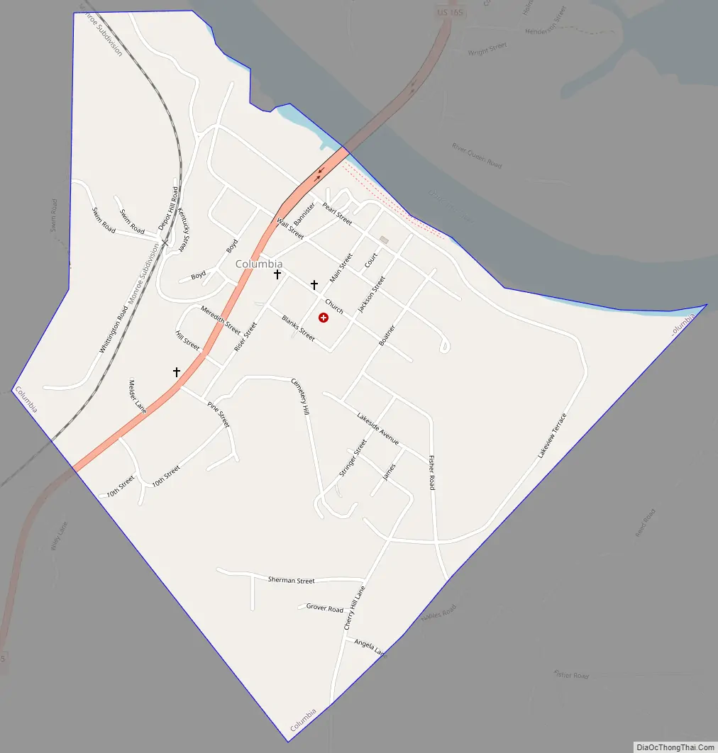
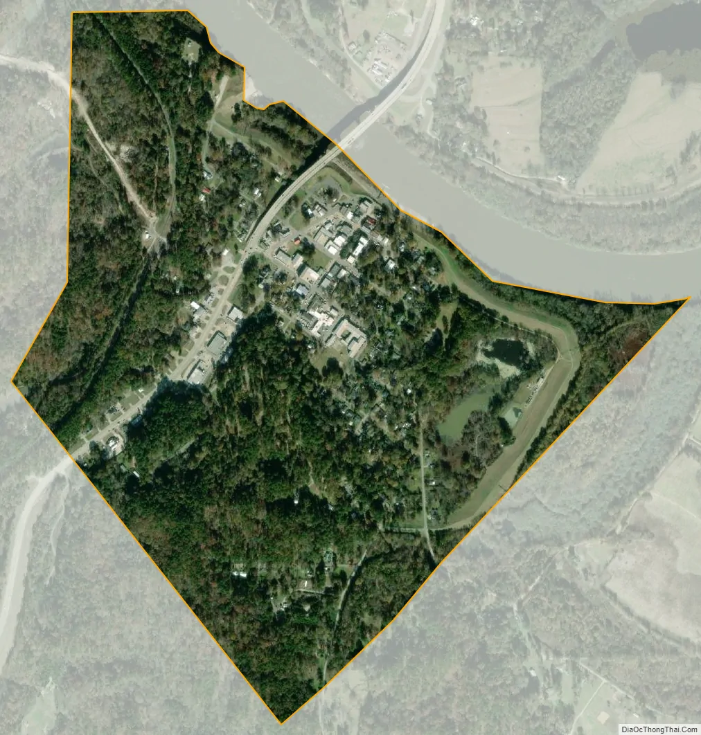
Columbia city Satellite Map
Geography
Columbia is located just east of the center of Caldwell Parish at 32°6′15″N 92°4′37″W / 32.10417°N 92.07694°W / 32.10417; -92.07694 (32.104042, -92.076921), on the southwest bank of the Ouachita River. U.S. Route 165 passes through the center of town and bridges the river, leading north 32 miles (51 km) to Monroe and south 64 miles (103 km) to Alexandria.
According to the United States Census Bureau, the town has a total area of 0.77 square miles (2.00 km), of which 0.76 square miles (1.96 km) is land and 0.01 square miles (0.03 km), or 1.75%, is water.
See also
Map of Louisiana State and its subdivision:- Acadia
- Allen
- Ascension
- Assumption
- Avoyelles
- Beauregard
- Bienville
- Bossier
- Caddo
- Calcasieu
- Caldwell
- Cameron
- Catahoula
- Claiborne
- Concordia
- De Soto
- East Baton Rouge
- East Carroll
- East Feliciana
- Evangeline
- Franklin
- Grant
- Iberia
- Iberville
- Jackson
- Jefferson
- Jefferson Davis
- La Salle
- Lafayette
- Lafourche
- Lincoln
- Livingston
- Madison
- Morehouse
- Natchitoches
- Orleans
- Ouachita
- Plaquemines
- Pointe Coupee
- Rapides
- Red River
- Richland
- Sabine
- Saint Bernard
- Saint Charles
- Saint Helena
- Saint James
- Saint John the Baptist
- Saint Landry
- Saint Martin
- Saint Mary
- Saint Tammany
- Tangipahoa
- Tensas
- Terrebonne
- Union
- Vermilion
- Vernon
- Washington
- Webster
- West Baton Rouge
- West Carroll
- West Feliciana
- Winn
- Alabama
- Alaska
- Arizona
- Arkansas
- California
- Colorado
- Connecticut
- Delaware
- District of Columbia
- Florida
- Georgia
- Hawaii
- Idaho
- Illinois
- Indiana
- Iowa
- Kansas
- Kentucky
- Louisiana
- Maine
- Maryland
- Massachusetts
- Michigan
- Minnesota
- Mississippi
- Missouri
- Montana
- Nebraska
- Nevada
- New Hampshire
- New Jersey
- New Mexico
- New York
- North Carolina
- North Dakota
- Ohio
- Oklahoma
- Oregon
- Pennsylvania
- Rhode Island
- South Carolina
- South Dakota
- Tennessee
- Texas
- Utah
- Vermont
- Virginia
- Washington
- West Virginia
- Wisconsin
- Wyoming