Franklinton is a town in, and the parish seat of Washington Parish, Louisiana, United States. The population was 3,857 at the 2010 census. The elevation is an average of 155 feet (47 m) above sea level. Franklinton is located 61 miles (98 km) north of New Orleans.
A Franklinton physician, Jerry Thomas, represented Washington Parish in the Louisiana House of Representatives from 1988 to 1999. He was elected to the District 12 seat in the state senate, serving from 1999 to 2004. He had succeeded Phil Short of Covington, who resigned. Prior to his state service, Dr. Thomas was the Washington Parish coroner from 1980 to 1988.
Elected in 2015, Beth Mizell, a businesswoman from Franklinton, is the current District 12 state senator.
| Name: | Franklinton town |
|---|---|
| LSAD Code: | 43 |
| LSAD Description: | town (suffix) |
| State: | Louisiana |
| County: | Washington Parish |
| Founded: | 1819 |
| Elevation: | 154 ft (47 m) |
| Total Area: | 4.42 sq mi (11.43 km²) |
| Land Area: | 4.37 sq mi (11.32 km²) |
| Water Area: | 0.04 sq mi (0.11 km²) |
| Total Population: | 3,662 |
| Population Density: | 837.79/sq mi (323.51/km²) |
| ZIP code: | 70438 |
| Area code: | 985 |
| FIPS code: | 2227190 |
| Website: | http://www.townoffranklinton.com |
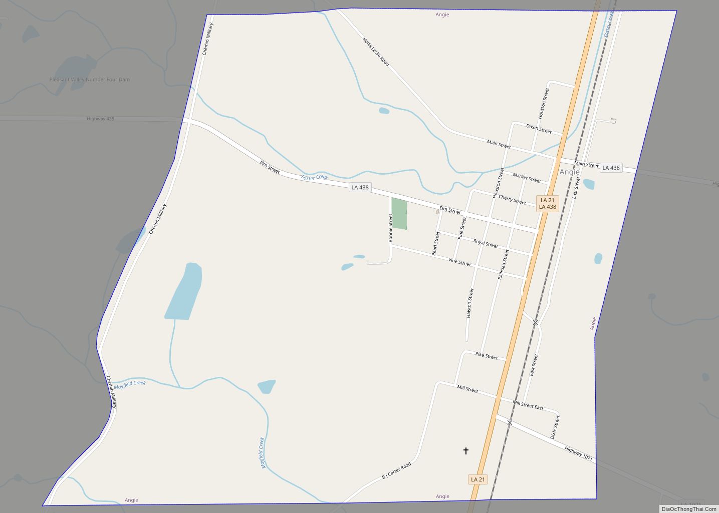
Online Interactive Map
Click on ![]() to view map in "full screen" mode.
to view map in "full screen" mode.
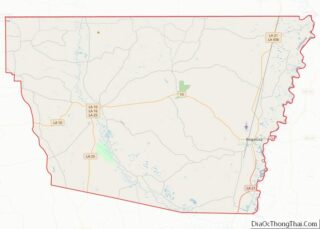
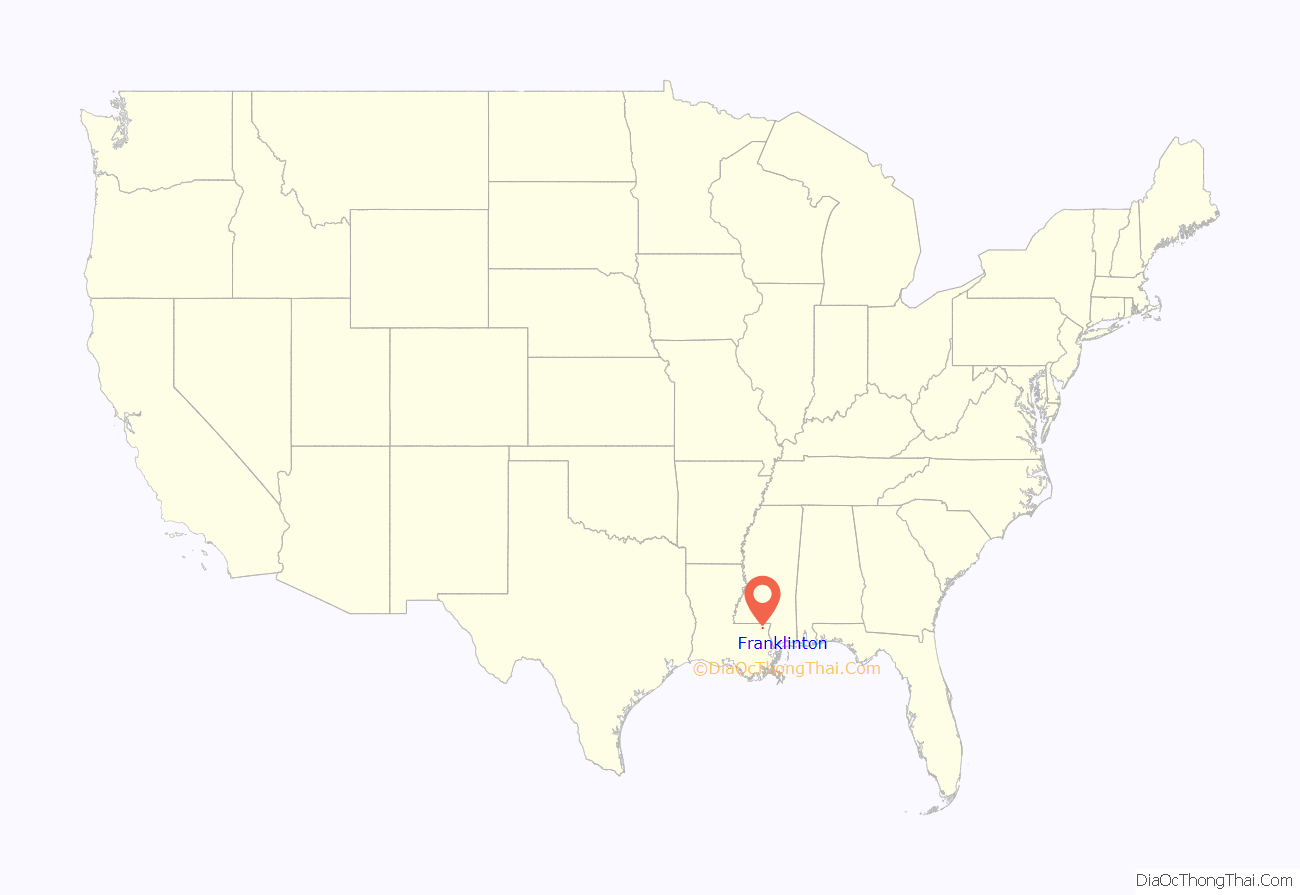
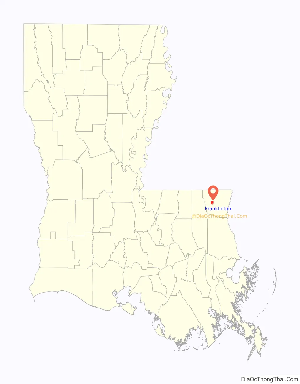
Franklinton location map. Where is Franklinton town?
History
Franklinton was founded in 1819, originally under the name of Franklin. It was designated as the parish seat of government on February 10, 1821, two years after the parish was carved out from St. Tammany Parish.
In 1826 the town’s name was changed to Franklinton, as there was already another town named Franklin in St. Mary Parish. In 1826, representatives and citizens from both communities showed up in then-state-capital New Orleans to state their cases for keeping the name “Franklin.” The legislature allowed Franklin in St. Mary Parish to retain its name, while changing the Washington Parish’s newer seat to Franklinton. The parish was largely rural, based in extensive pine forests.
Franklinton has a bunch of solar panels in the surrounding farmland.
20th century to present
- 1935 lynching:
In the early hours of January 11, 1935, a small group of white men forced their way into the Washington Parish jail in Franklinton, fatally shooting and beating Jerome Wilson, 30, an African-American man convicted of murder. He had pleaded for mercy. Five days earlier the Louisiana Supreme Court had granted Wilson a new trial, on the grounds that he had not received a fair trial. The decision cited that he was tried, convicted, and sentenced within ten days of his arrest in August in the slaying of Deputy Sheriff Delos C. Wood in a gunfight on the Wilson place.
The lynch party took Wilson’s body by car and dumped it along a rural road three miles (5 km) from town; then they dispersed. The body was found by a passerby on the road two hours later. Police officers said they thought Wilson was shot because his cries would have aroused parish authorities, who twice had thwarted attempts to lynch him.
In 2005, much of Franklinton, as well as most of Washington Parish, sustained damage from Hurricane Katrina. It caused extensive damage along the Gulf Coast.
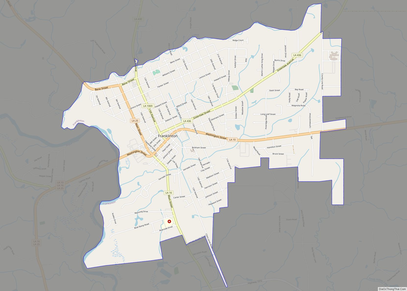
Franklinton Road Map
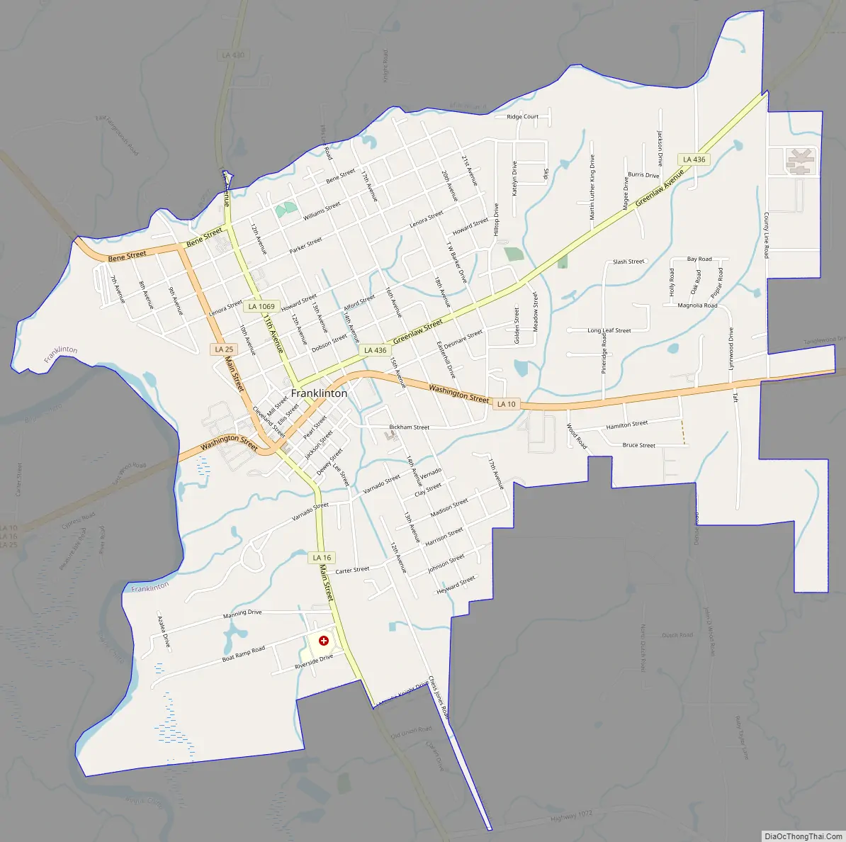
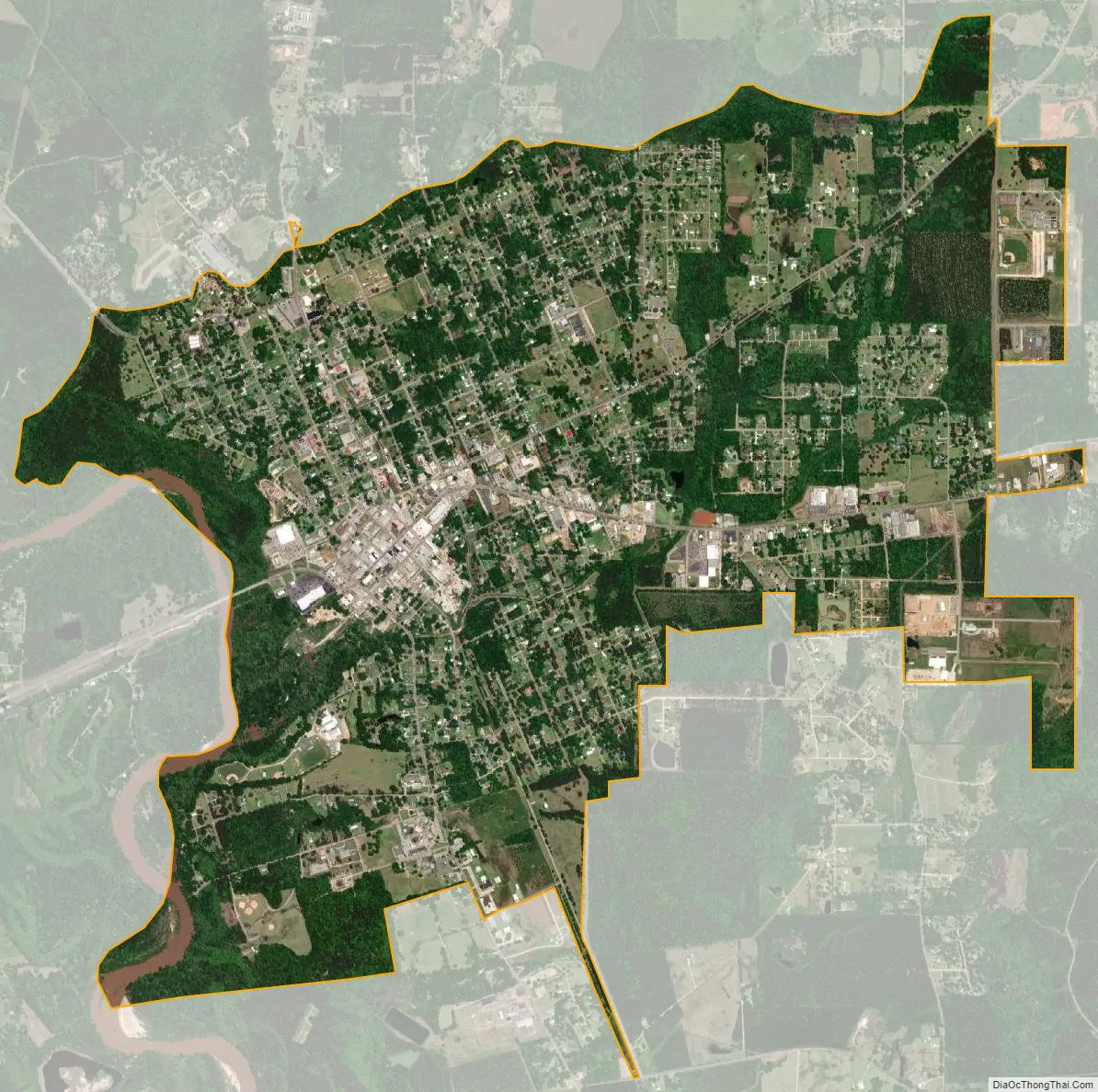
Franklinton city Satellite Map
Geography
According to the United States Census Bureau, the town has a total area of 4.2 square miles (10.9 km), of which 4.1 square miles (10.7 km) is land and 0.04 square mile (0.1 km) (0.95%) is water.
The Bogue Chitto River flows through the western edge of the town.
See also
Map of Louisiana State and its subdivision:- Acadia
- Allen
- Ascension
- Assumption
- Avoyelles
- Beauregard
- Bienville
- Bossier
- Caddo
- Calcasieu
- Caldwell
- Cameron
- Catahoula
- Claiborne
- Concordia
- De Soto
- East Baton Rouge
- East Carroll
- East Feliciana
- Evangeline
- Franklin
- Grant
- Iberia
- Iberville
- Jackson
- Jefferson
- Jefferson Davis
- La Salle
- Lafayette
- Lafourche
- Lincoln
- Livingston
- Madison
- Morehouse
- Natchitoches
- Orleans
- Ouachita
- Plaquemines
- Pointe Coupee
- Rapides
- Red River
- Richland
- Sabine
- Saint Bernard
- Saint Charles
- Saint Helena
- Saint James
- Saint John the Baptist
- Saint Landry
- Saint Martin
- Saint Mary
- Saint Tammany
- Tangipahoa
- Tensas
- Terrebonne
- Union
- Vermilion
- Vernon
- Washington
- Webster
- West Baton Rouge
- West Carroll
- West Feliciana
- Winn
- Alabama
- Alaska
- Arizona
- Arkansas
- California
- Colorado
- Connecticut
- Delaware
- District of Columbia
- Florida
- Georgia
- Hawaii
- Idaho
- Illinois
- Indiana
- Iowa
- Kansas
- Kentucky
- Louisiana
- Maine
- Maryland
- Massachusetts
- Michigan
- Minnesota
- Mississippi
- Missouri
- Montana
- Nebraska
- Nevada
- New Hampshire
- New Jersey
- New Mexico
- New York
- North Carolina
- North Dakota
- Ohio
- Oklahoma
- Oregon
- Pennsylvania
- Rhode Island
- South Carolina
- South Dakota
- Tennessee
- Texas
- Utah
- Vermont
- Virginia
- Washington
- West Virginia
- Wisconsin
- Wyoming