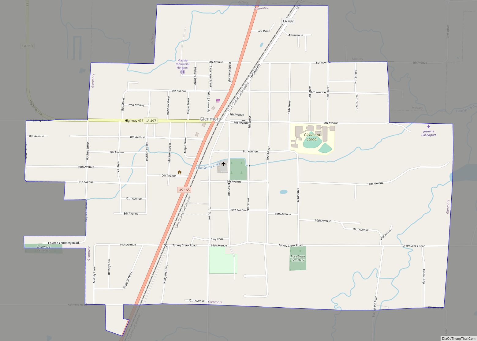
Glenmora is a town in Rapides Parish, Louisiana, United States. It is part of the Alexandria, Louisiana Metropolitan Statistical Area. The population was 1,342 at the 2010 census.
Claude Kirkpatrick, a member of the Louisiana House of Representatives from Jefferson Davis Parish from 1952–1960, a candidate for governor in 1963, and the instigator of Toledo Bend Reservoir was born in Glenmora but moved to Lake Charles when he was six years of age.
Virgil Orr, a former member of the Louisiana House from Ruston, the seat of Lincoln Parish, graduated from Glenmora High School in 1940. Lloyd George Teekell, a state representative from 1953 to 1960 and a 9th Judicial District Court judge from 1979 to 1990, was reared in Glenmora.
| Name: | Glenmora town |
|---|---|
| LSAD Code: | 43 |
| LSAD Description: | town (suffix) |
| State: | Louisiana |
| County: | Rapides Parish |
| Elevation: | 135 ft (41 m) |
| Total Area: | 1.73 sq mi (4.48 km²) |
| Land Area: | 1.73 sq mi (4.48 km²) |
| Water Area: | 0.00 sq mi (0.00 km²) |
| Total Population: | 1,087 |
| Population Density: | 628.32/sq mi (242.62/km²) |
| Area code: | 318 |
| FIPS code: | 2229220 |
Online Interactive Map
Click on ![]() to view map in "full screen" mode.
to view map in "full screen" mode.
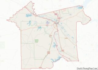
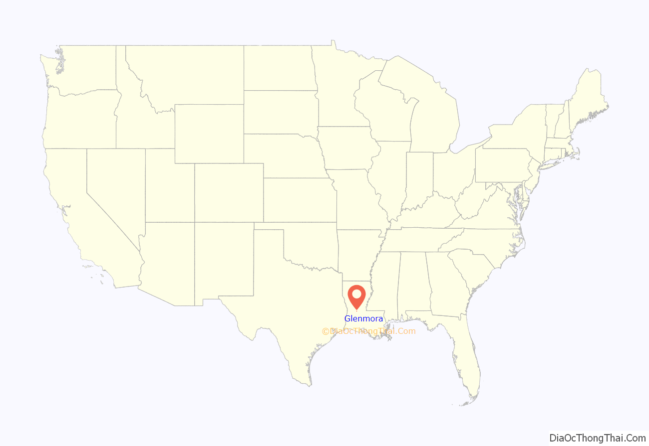
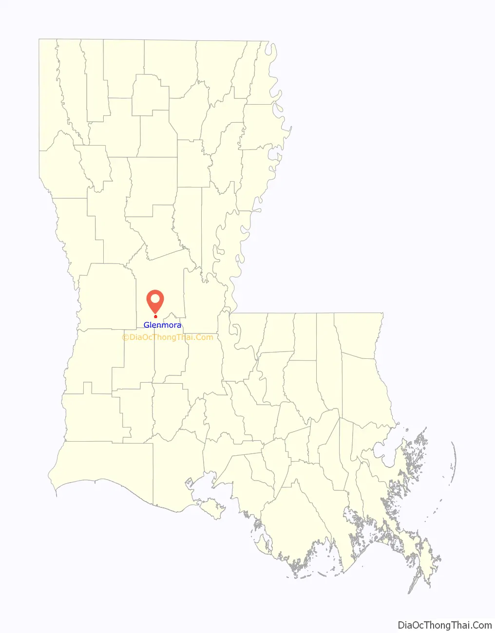
Glenmora location map. Where is Glenmora town?
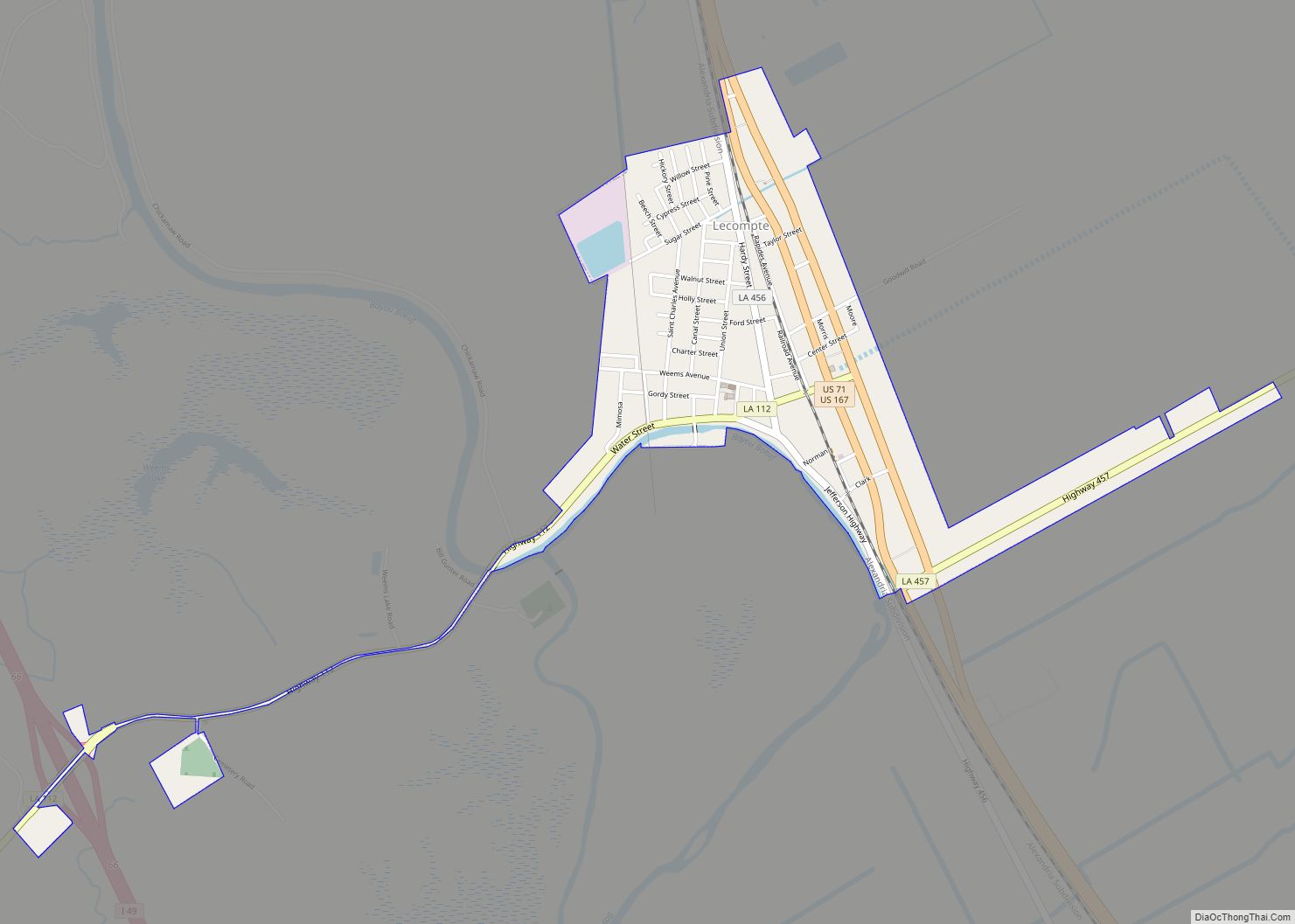
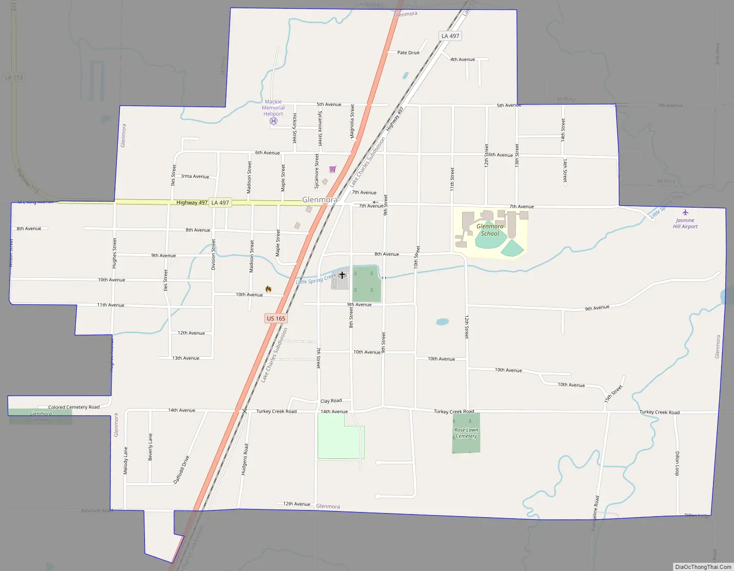
Glenmora Road Map
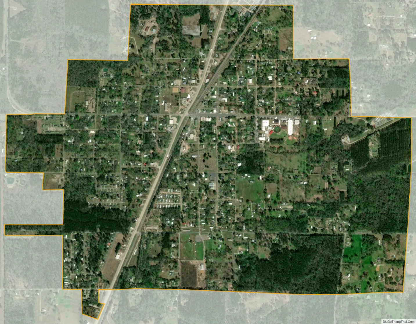
Glenmora city Satellite Map
Geography
Glenmora is located at 30°58′24″N 92°35′4″W / 30.97333°N 92.58444°W / 30.97333; -92.58444 (30.973390, -92.584309).
According to the United States Census Bureau, the town has a total area of 1.7 square miles (4.4 km), all land.
See also
Map of Louisiana State and its subdivision:- Acadia
- Allen
- Ascension
- Assumption
- Avoyelles
- Beauregard
- Bienville
- Bossier
- Caddo
- Calcasieu
- Caldwell
- Cameron
- Catahoula
- Claiborne
- Concordia
- De Soto
- East Baton Rouge
- East Carroll
- East Feliciana
- Evangeline
- Franklin
- Grant
- Iberia
- Iberville
- Jackson
- Jefferson
- Jefferson Davis
- La Salle
- Lafayette
- Lafourche
- Lincoln
- Livingston
- Madison
- Morehouse
- Natchitoches
- Orleans
- Ouachita
- Plaquemines
- Pointe Coupee
- Rapides
- Red River
- Richland
- Sabine
- Saint Bernard
- Saint Charles
- Saint Helena
- Saint James
- Saint John the Baptist
- Saint Landry
- Saint Martin
- Saint Mary
- Saint Tammany
- Tangipahoa
- Tensas
- Terrebonne
- Union
- Vermilion
- Vernon
- Washington
- Webster
- West Baton Rouge
- West Carroll
- West Feliciana
- Winn
- Alabama
- Alaska
- Arizona
- Arkansas
- California
- Colorado
- Connecticut
- Delaware
- District of Columbia
- Florida
- Georgia
- Hawaii
- Idaho
- Illinois
- Indiana
- Iowa
- Kansas
- Kentucky
- Louisiana
- Maine
- Maryland
- Massachusetts
- Michigan
- Minnesota
- Mississippi
- Missouri
- Montana
- Nebraska
- Nevada
- New Hampshire
- New Jersey
- New Mexico
- New York
- North Carolina
- North Dakota
- Ohio
- Oklahoma
- Oregon
- Pennsylvania
- Rhode Island
- South Carolina
- South Dakota
- Tennessee
- Texas
- Utah
- Vermont
- Virginia
- Washington
- West Virginia
- Wisconsin
- Wyoming