Independence, originally known as Uncle Sam, is a town in Tangipahoa Parish, Louisiana, United States. The population was 1,665 at the 2010 census. It is part of the Hammond Micropolitan Statistical Area.
| Name: | Independence town |
|---|---|
| LSAD Code: | 43 |
| LSAD Description: | town (suffix) |
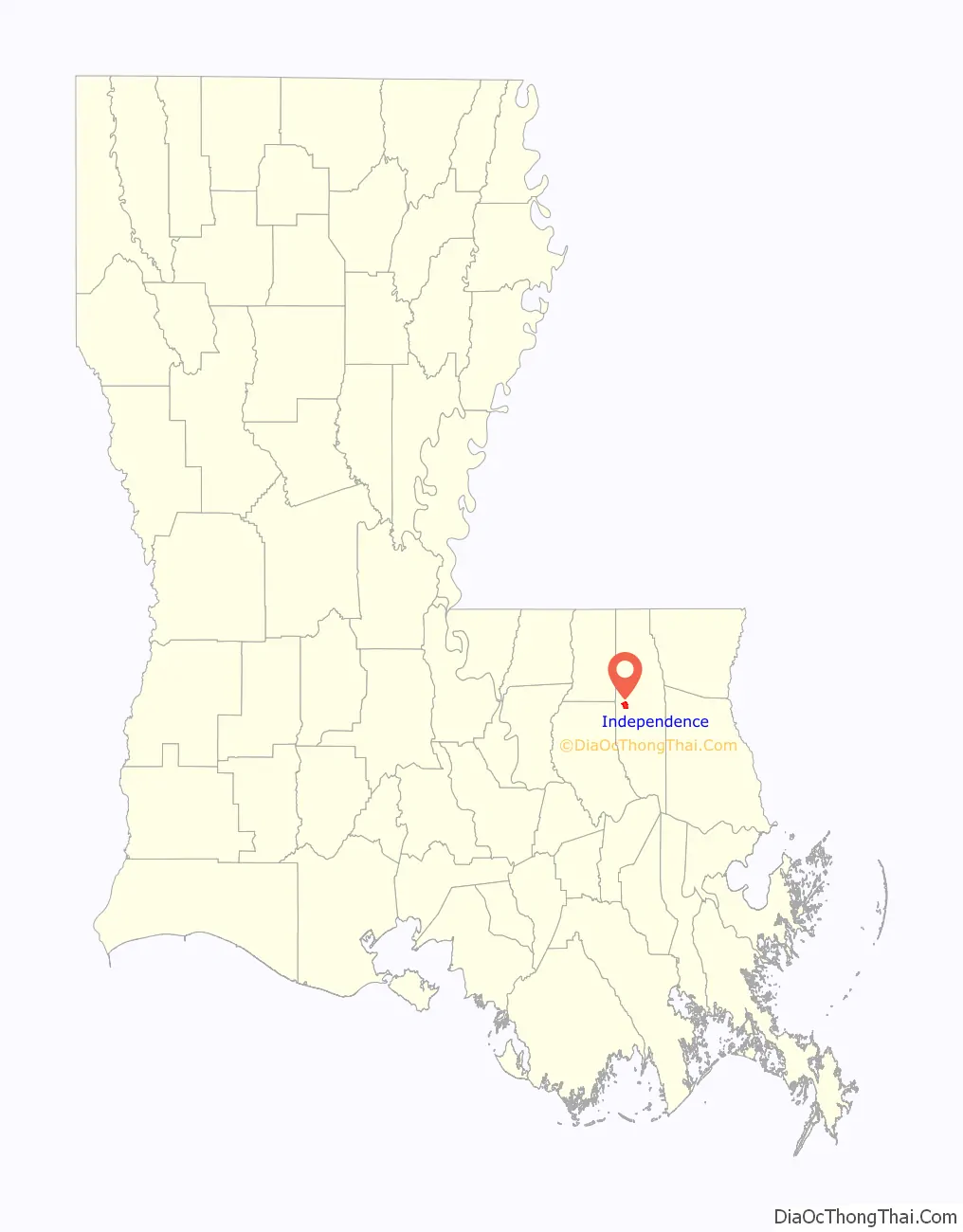
| State: | Louisiana |
| County: | Tangipahoa Parish |
| Elevation: | 82 ft (25 m) |
| Total Area: | 2.41 sq mi (6.25 km²) |
| Land Area: | 2.41 sq mi (6.24 km²) |
| Water Area: | 0.00 sq mi (0.00 km²) |
| Total Population: | 1,635 |
| Population Density: | 678.14/sq mi (261.86/km²) |
| ZIP code: | 70792 |
| Area code: | 985 |
| FIPS code: | 2237025 |
| GNISfeature ID: | 2405882 |
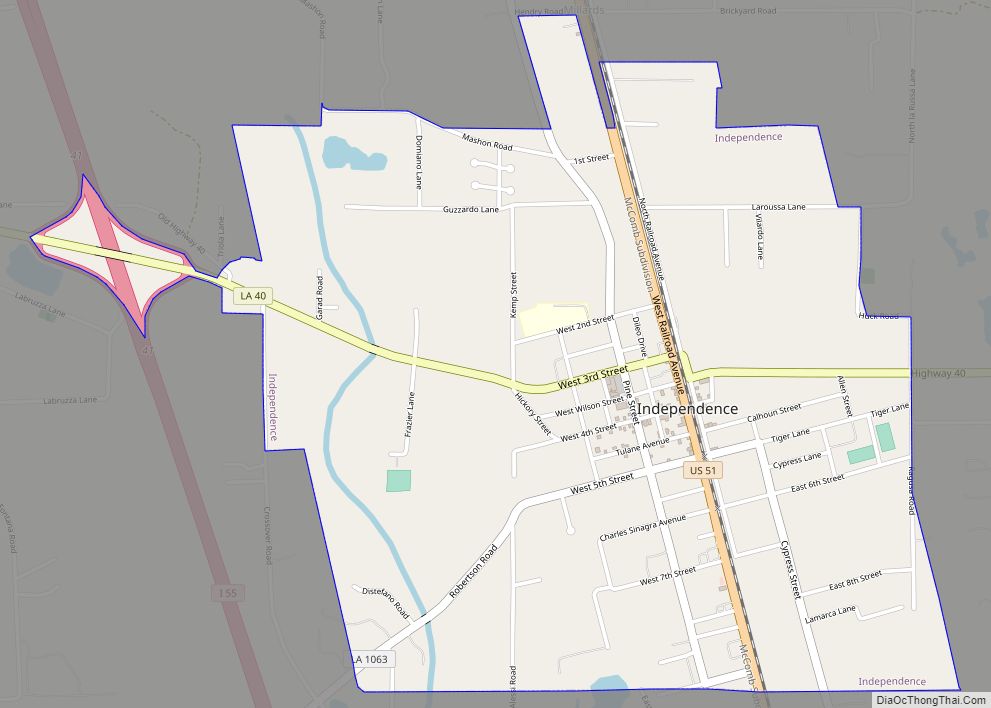
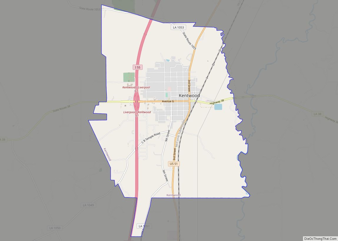
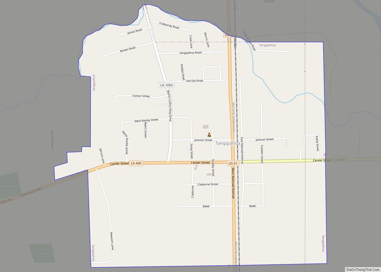
Online Interactive Map
Click on ![]() to view map in "full screen" mode.
to view map in "full screen" mode.
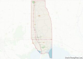
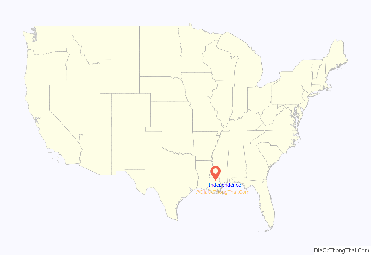
Independence location map. Where is Independence town?
History
The move to establish Independence as a town was led in the early 20th century by State Representative Harry D. Wilson, who subsequently served from 1916 until his death early in 1948 as the Louisiana Commissioner of Agriculture and Forestry. Wilson was a son of Dr. and Mrs. William D. Wilson. In 1856, Dr. Wilson had built a store in Independence, which remained for years the oldest building in the community. Harry Wilson worked in the parish seat of Amite in the general store of the merchant Jacob Stern at a time when Tangipahoa Parish did not yet depend on the strawberry crop. During the 1890s, Wilson was an express messenger for the Illinois Central Railroad. He left that position to pursue a political career.
Affectionately known by voters as “Uncle Harry” or “Mister Harry”, Wilson served two nonconsecutive terms in the state House from 1900 to 1904 and again from 1908 to 1912. A strong promoter of his hometown of Independence, located five miles to the south of Amite, Wilson in 1902 and 1903 corresponded with Governor William Wright Heard regarding incorporation of the community, which at the time had a population of 308. Governor Heard informed Wilson that he considered the three square miles proposed for the new town as too much land for a small village and suggested that the tract be reduced in size. Originally named “Uncle Sam”, Independence had begun in 1852 when the New Orleans, Jackson and Great Northern Railroad began operating through the area. Independence was finally proclaimed a town on August 22, 1912.
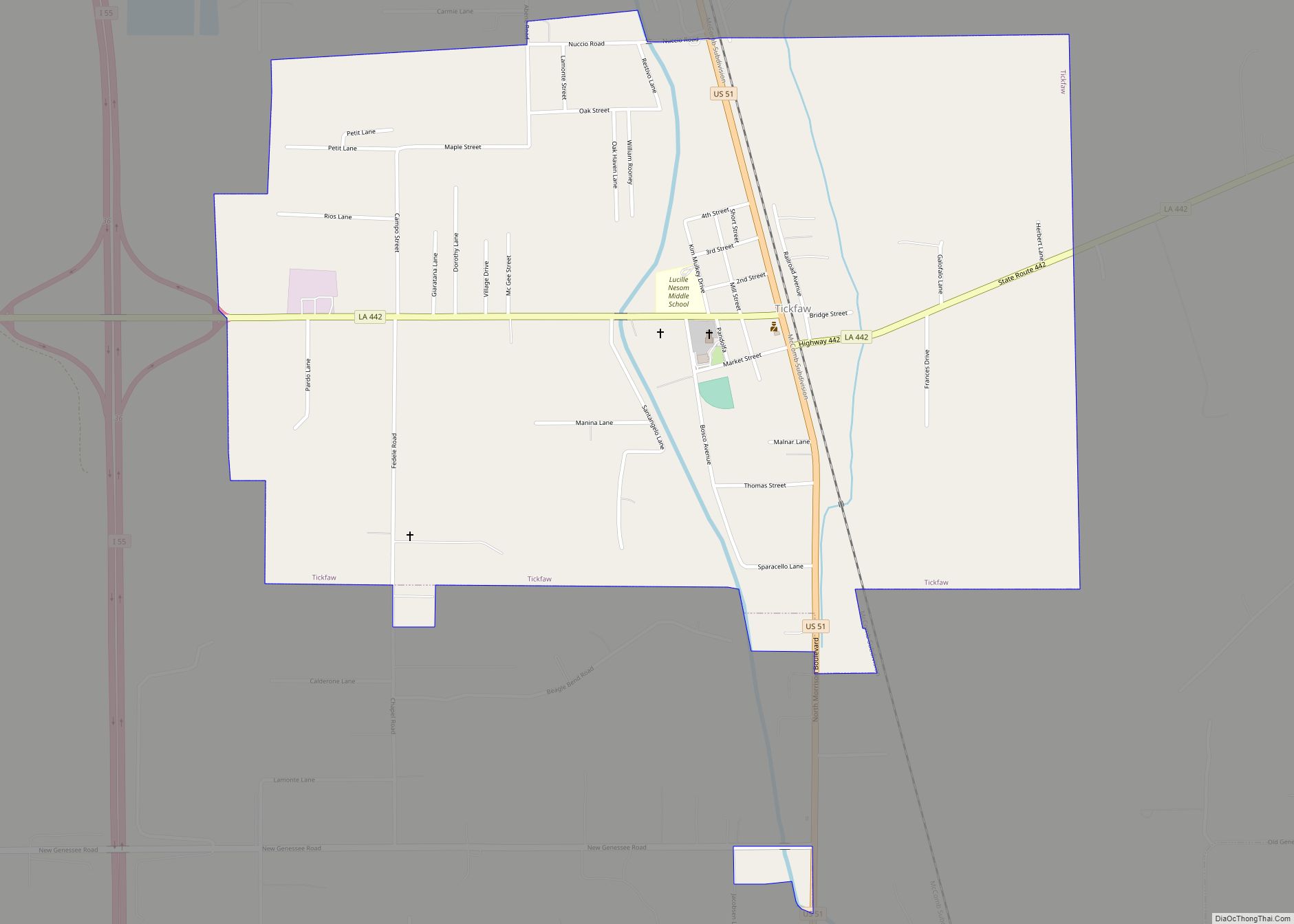
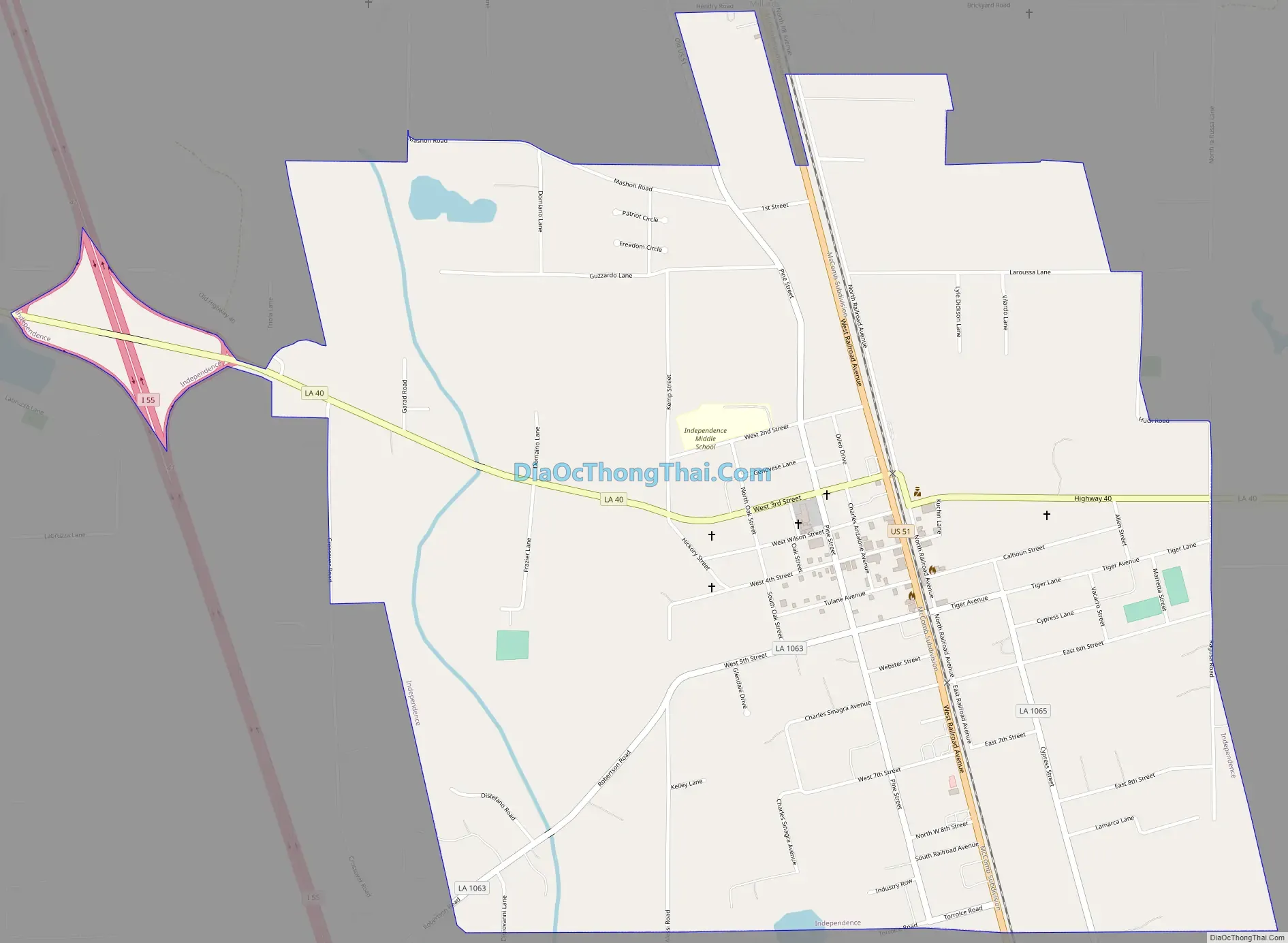
Independence Road Map
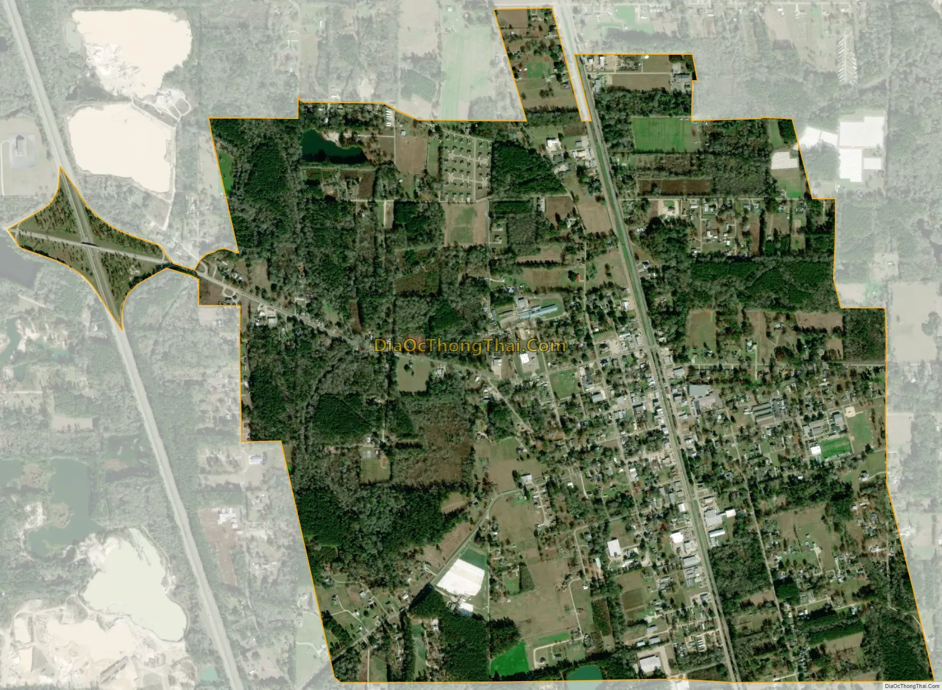
Independence city Satellite Map
Geography
Independence is located at 30°38′7″N 90°30′14″W / 30.63528°N 90.50389°W / 30.63528; -90.50389 (30.635293, -90.504005).
According to the United States Census Bureau, the town has a total area of 2.2 square miles (5.7 km), all land.
See also
Map of Louisiana State and its subdivision:- Acadia
- Allen
- Ascension
- Assumption
- Avoyelles
- Beauregard
- Bienville
- Bossier
- Caddo
- Calcasieu
- Caldwell
- Cameron
- Catahoula
- Claiborne
- Concordia
- De Soto
- East Baton Rouge
- East Carroll
- East Feliciana
- Evangeline
- Franklin
- Grant
- Iberia
- Iberville
- Jackson
- Jefferson
- Jefferson Davis
- La Salle
- Lafayette
- Lafourche
- Lincoln
- Livingston
- Madison
- Morehouse
- Natchitoches
- Orleans
- Ouachita
- Plaquemines
- Pointe Coupee
- Rapides
- Red River
- Richland
- Sabine
- Saint Bernard
- Saint Charles
- Saint Helena
- Saint James
- Saint John the Baptist
- Saint Landry
- Saint Martin
- Saint Mary
- Saint Tammany
- Tangipahoa
- Tensas
- Terrebonne
- Union
- Vermilion
- Vernon
- Washington
- Webster
- West Baton Rouge
- West Carroll
- West Feliciana
- Winn
- Alabama
- Alaska
- Arizona
- Arkansas
- California
- Colorado
- Connecticut
- Delaware
- District of Columbia
- Florida
- Georgia
- Hawaii
- Idaho
- Illinois
- Indiana
- Iowa
- Kansas
- Kentucky
- Louisiana
- Maine
- Maryland
- Massachusetts
- Michigan
- Minnesota
- Mississippi
- Missouri
- Montana
- Nebraska
- Nevada
- New Hampshire
- New Jersey
- New Mexico
- New York
- North Carolina
- North Dakota
- Ohio
- Oklahoma
- Oregon
- Pennsylvania
- Rhode Island
- South Carolina
- South Dakota
- Tennessee
- Texas
- Utah
- Vermont
- Virginia
- Washington
- West Virginia
- Wisconsin
- Wyoming