Iota is a town in Acadia Parish, Louisiana. The population was 1,304 in 2020. Iota is part of the Crowley Micropolitan Statistical Area.
| Name: | Iota town |
|---|---|
| LSAD Code: | 43 |
| LSAD Description: | town (suffix) |
| State: | Louisiana |
| County: | Acadia Parish |
| Elevation: | 30 ft (9 m) |
| Total Area: | 1.27 sq mi (3.29 km²) |
| Land Area: | 1.27 sq mi (3.29 km²) |
| Water Area: | 0.00 sq mi (0.00 km²) |
| Total Population: | 1,304 |
| Population Density: | 1,026.77/sq mi (396.42/km²) |
| FIPS code: | 2237410 |
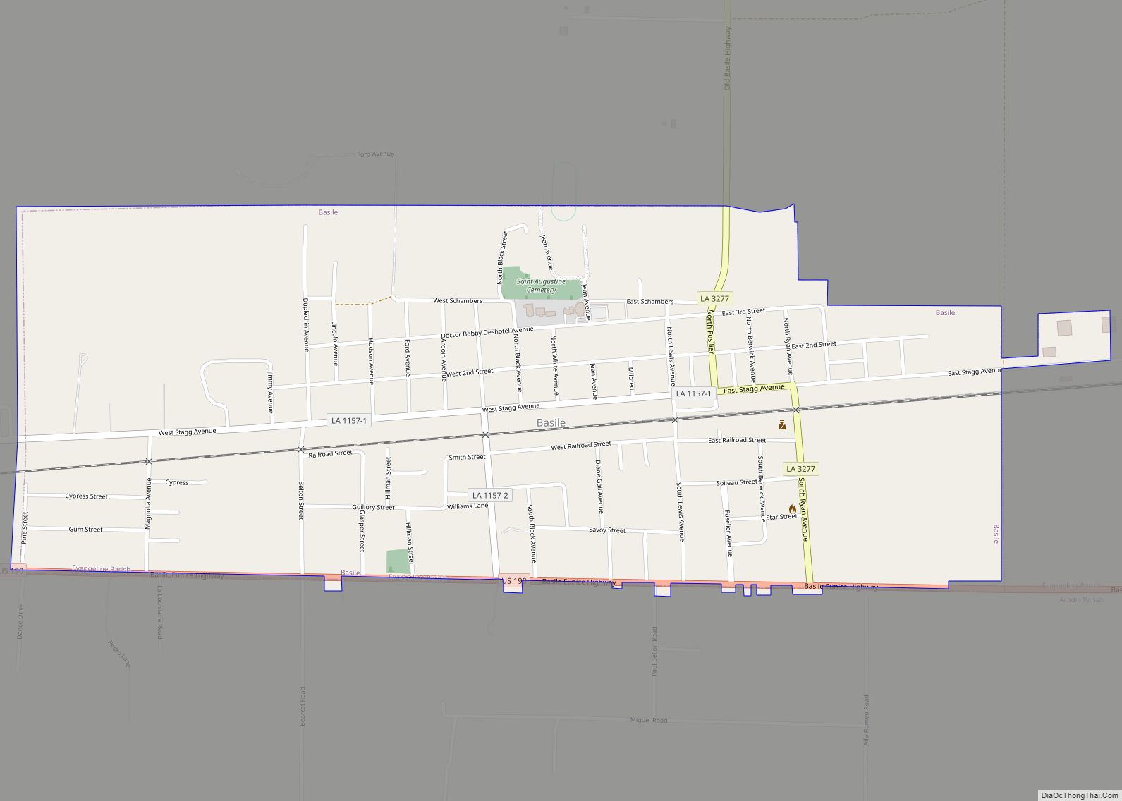
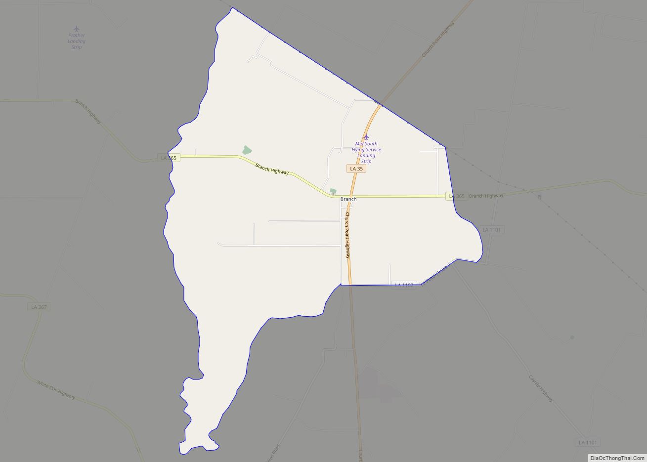
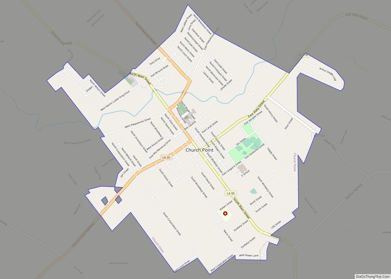
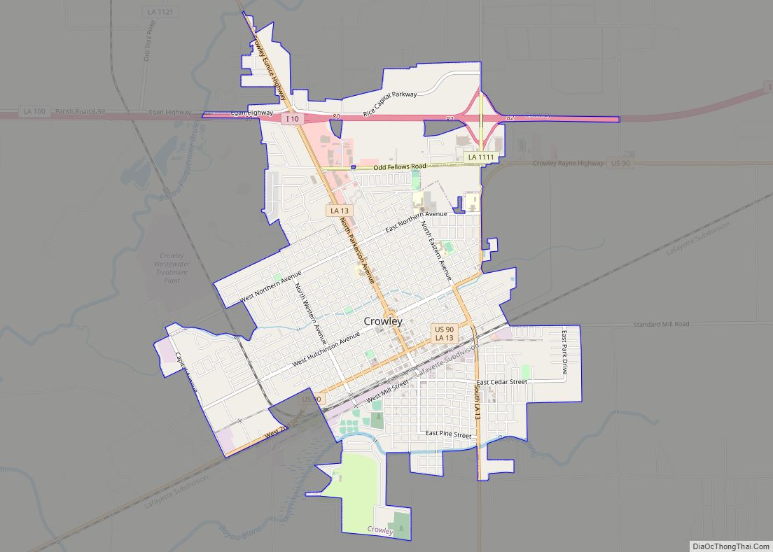
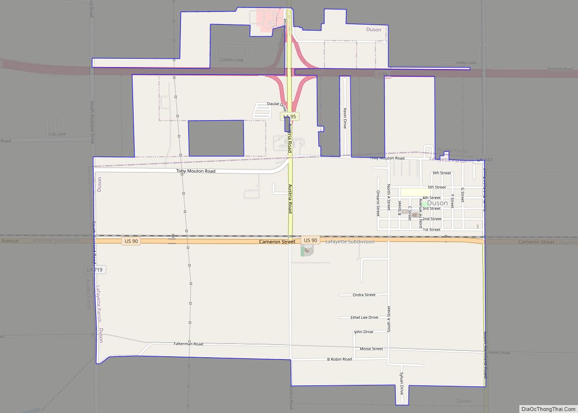
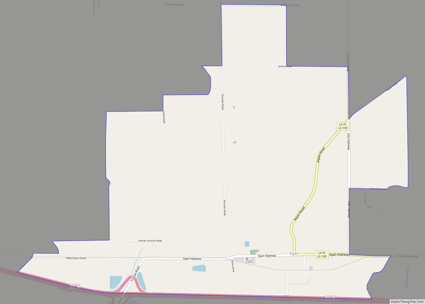
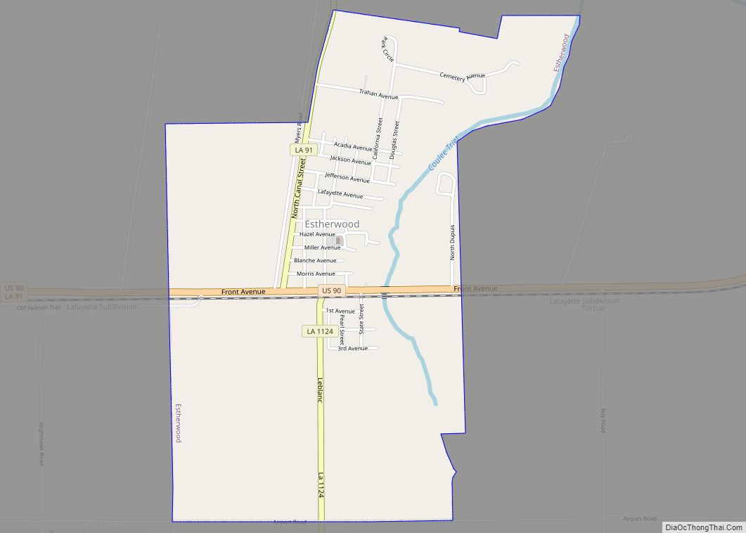
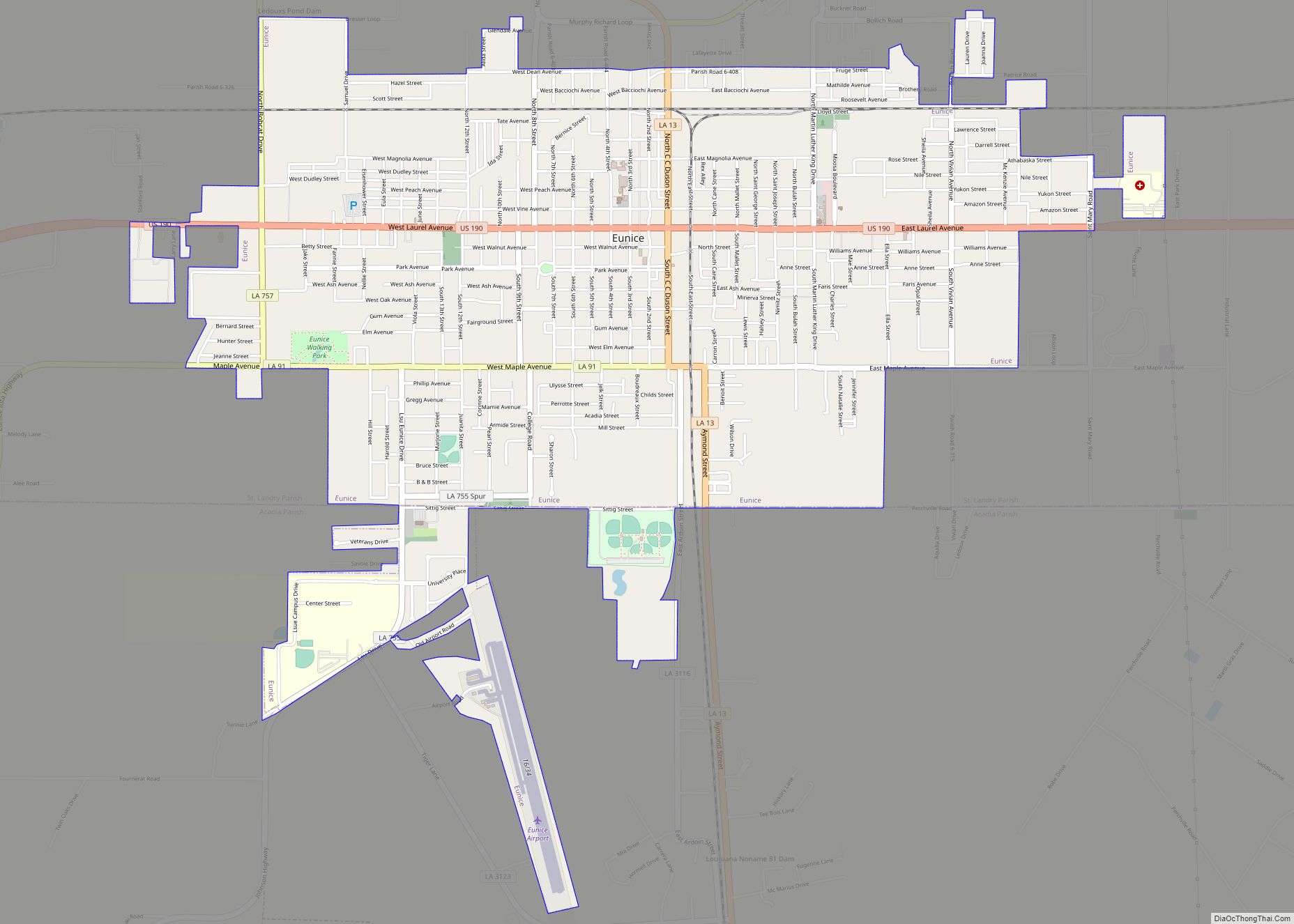
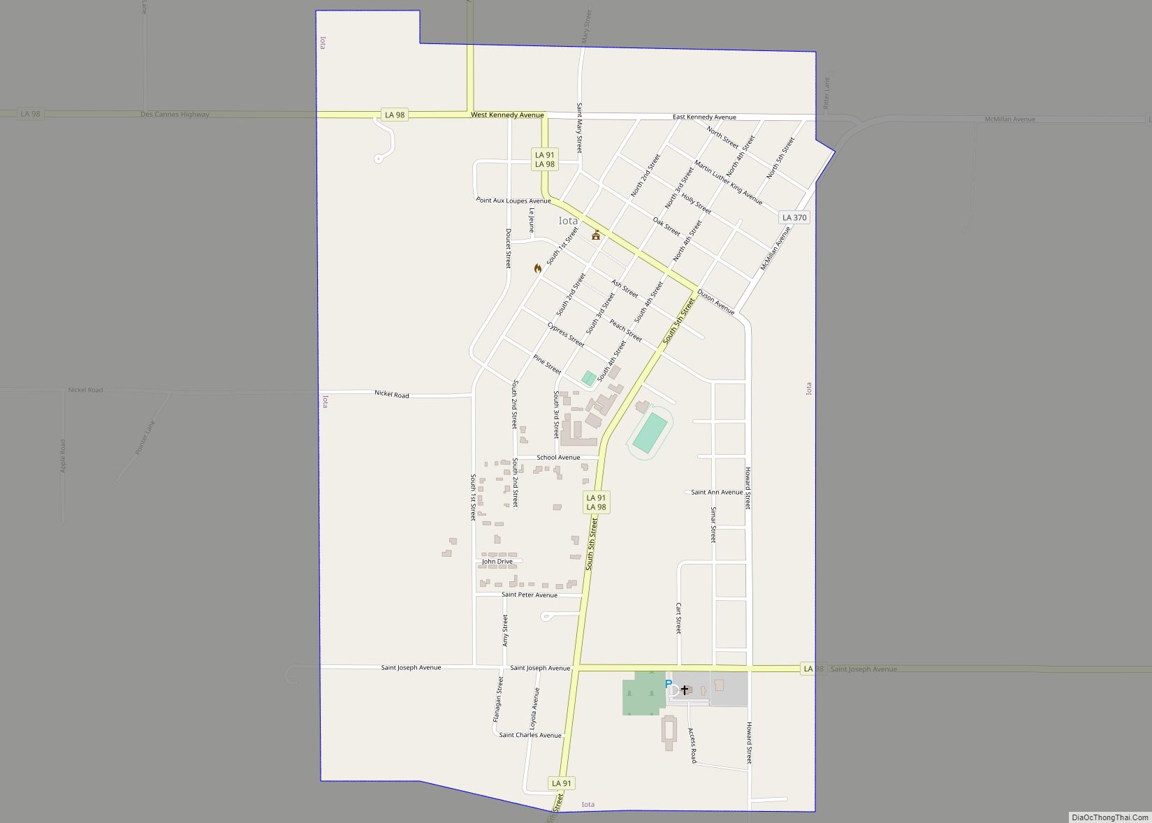
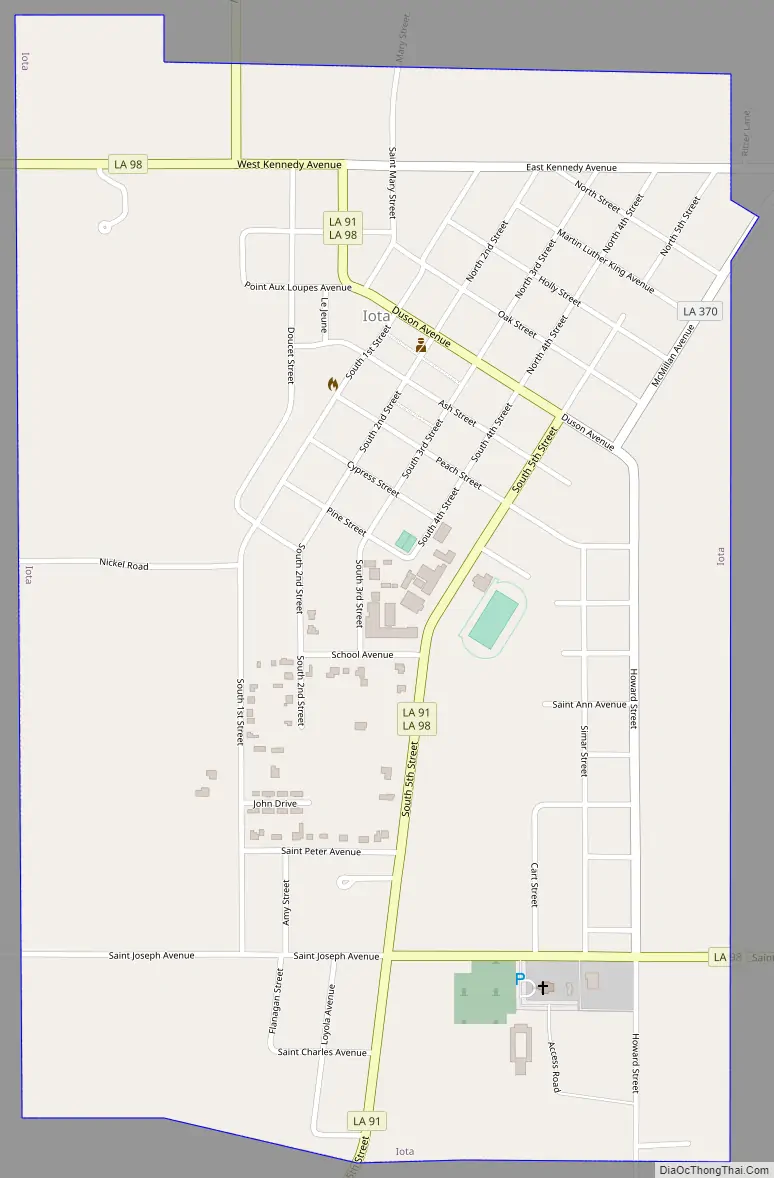
Online Interactive Map
Click on ![]() to view map in "full screen" mode.
to view map in "full screen" mode.
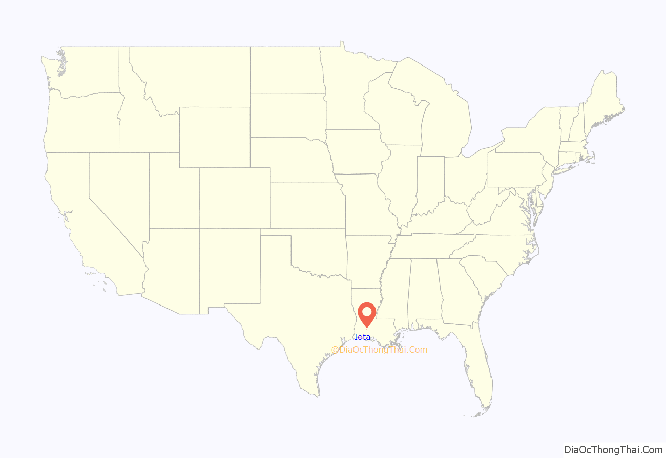
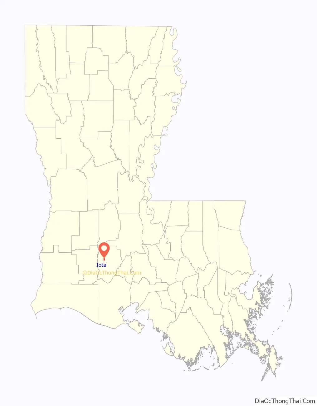
Iota location map. Where is Iota town?
History
The history of Iota is identified with Pointe-aux-Loups (French for Wolf Point), one of the oldest place names in southwest Louisiana, and the location of mineral springs that attracted many visitors beginning about 1858. The older settlement was located on Bayou des Cannes about two miles west of the present Town of Iota. A post office named Cartville, for the first postmaster Samuel Cart, was established in the vicinity of Pointe-aux-Loups in 1884. Ten years later, a railroad branch line from Midland to Eunice bypassed Cartville by a mile or so to the east. The railroad company built a depot at a point on the line nearest to the Cartville and Pointe-aux-Loups settlements, naming it Iota. The Cartville post office was changed to Iota in 1900.
C.C. Duson is credited with being the founder of Iota. It was he who promoted the construction of the Southern Pacific rail line to Eunice, the new town that he founded in St. Landry Parish. At the same time, 1894, Duson acquired the land on which Iota now stands, a 160-acre tract which had been homesteaded by Archille Doucet in 1835. Duson divided the land into town lots and sold them. Duson was the prime mover in the establishment of the Acadia Canal Company in the vicinity of Iota, and president of the town’s first rice mill in 1901—two businesses said to have been responsible for Iota’s early economic development.
Iota and its people continued to prosper throughout the 20th century, with agriculture and petroleum as the primary sectors of the local economy. During this time, rice and later crawfish developed as the main cash crops of the area.
In the 1990s, it was discovered that Iota has an unusually high number of people carrying Tay-Sachs, a rare genetic disorder.
Iota was represented in the novel No Place Louisiana by Martin Pousson, published in 2002.
Iota is the home of American Legion Post No. 371 and many veterans of foreign wars.
Iota Road Map
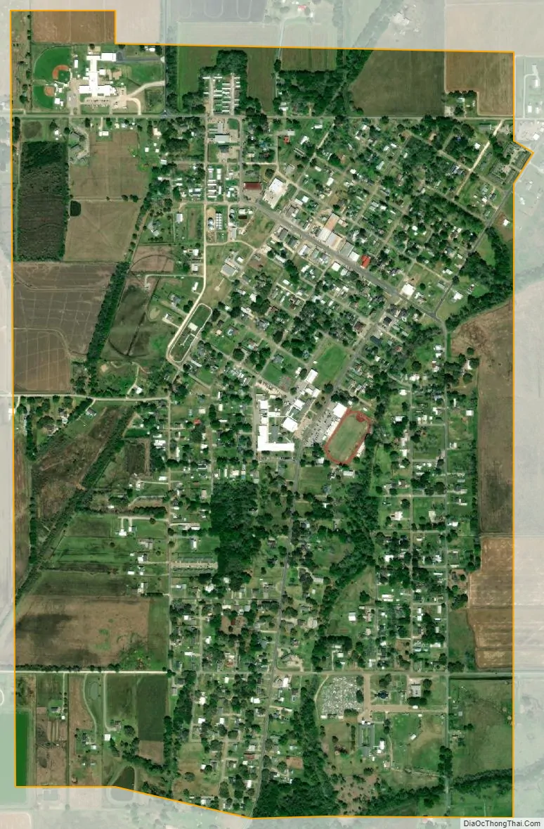
Iota city Satellite Map
Geography
Iota is located at 30°19′43″N 92°29′35″W / 30.32861°N 92.49306°W / 30.32861; -92.49306 (30.328500, −92.493123).
According to the United States Census Bureau, the town has a total area of 1.3 square miles (3.3 km), all land.
See also
Map of Louisiana State and its subdivision:- Acadia
- Allen
- Ascension
- Assumption
- Avoyelles
- Beauregard
- Bienville
- Bossier
- Caddo
- Calcasieu
- Caldwell
- Cameron
- Catahoula
- Claiborne
- Concordia
- De Soto
- East Baton Rouge
- East Carroll
- East Feliciana
- Evangeline
- Franklin
- Grant
- Iberia
- Iberville
- Jackson
- Jefferson
- Jefferson Davis
- La Salle
- Lafayette
- Lafourche
- Lincoln
- Livingston
- Madison
- Morehouse
- Natchitoches
- Orleans
- Ouachita
- Plaquemines
- Pointe Coupee
- Rapides
- Red River
- Richland
- Sabine
- Saint Bernard
- Saint Charles
- Saint Helena
- Saint James
- Saint John the Baptist
- Saint Landry
- Saint Martin
- Saint Mary
- Saint Tammany
- Tangipahoa
- Tensas
- Terrebonne
- Union
- Vermilion
- Vernon
- Washington
- Webster
- West Baton Rouge
- West Carroll
- West Feliciana
- Winn
- Alabama
- Alaska
- Arizona
- Arkansas
- California
- Colorado
- Connecticut
- Delaware
- District of Columbia
- Florida
- Georgia
- Hawaii
- Idaho
- Illinois
- Indiana
- Iowa
- Kansas
- Kentucky
- Louisiana
- Maine
- Maryland
- Massachusetts
- Michigan
- Minnesota
- Mississippi
- Missouri
- Montana
- Nebraska
- Nevada
- New Hampshire
- New Jersey
- New Mexico
- New York
- North Carolina
- North Dakota
- Ohio
- Oklahoma
- Oregon
- Pennsylvania
- Rhode Island
- South Carolina
- South Dakota
- Tennessee
- Texas
- Utah
- Vermont
- Virginia
- Washington
- West Virginia
- Wisconsin
- Wyoming