Morganza is an incorporated village near the Mississippi River in Pointe Coupee Parish, Louisiana, United States. The population was 610 at the 2010 census, down from 659 in 2000. It is part of the Baton Rouge Metropolitan Statistical Area. The village’s zip code is 70759. The Morganza Spillway, a flood control structure between the Mississippi River and the Atchafalaya Basin, is located nearby.
| Name: | Morganza village |
|---|---|
| LSAD Code: | 47 |
| LSAD Description: | village (suffix) |
| State: | Louisiana |
| County: | Pointe Coupee Parish |
| Incorporated: | 1908 |
| Elevation: | 36 ft (11 m) |
| Total Area: | 1.38 sq mi (3.58 km²) |
| Land Area: | 1.21 sq mi (3.12 km²) |
| Water Area: | 0.18 sq mi (0.46 km²) |
| Total Population: | 525 |
| Population Density: | 435.68/sq mi (168.15/km²) |
| ZIP code: | 70759 |
| Area code: | 225 |
| FIPS code: | 2252075 |
| GNISfeature ID: | 537212 |
Online Interactive Map
Click on ![]() to view map in "full screen" mode.
to view map in "full screen" mode.
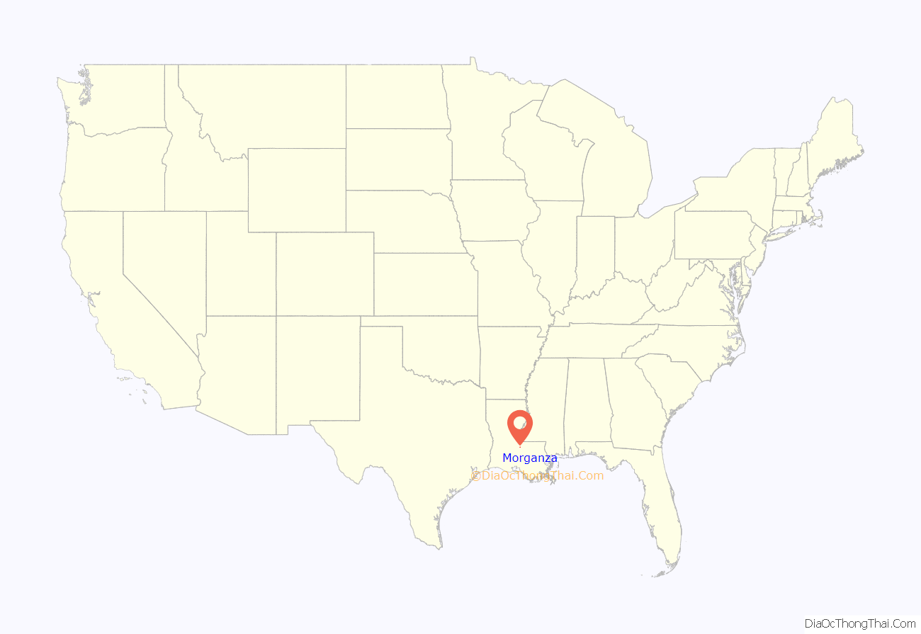
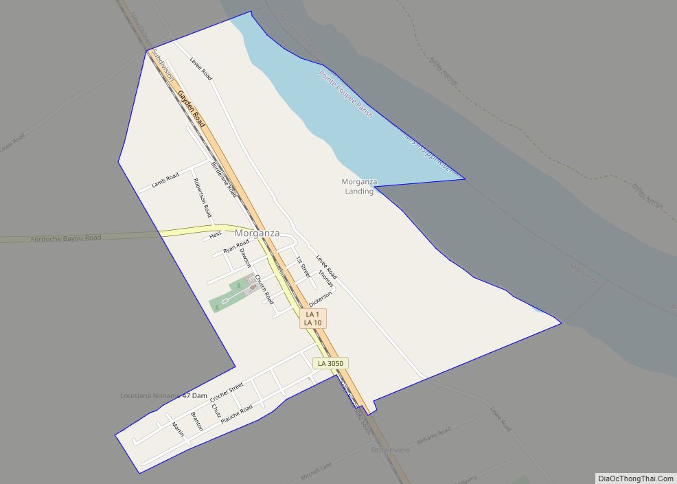
Morganza location map. Where is Morganza village?
History
Morganza takes its name from Morganza Plantation, the antebellum holding of Charles Morgan, an early surveyor, political figure and first American sheriff of Pointe Coupee Parish. Morgan, the son of James Morgan from a town of the family’s name in Sayreville, New Jersey, and a captain in the Second Regiment of the Middlesex County (N.J.) militia during the Revolutionary War. Evidence indicates he was involved in the transfer of slaves from New Jersey to Louisiana in conflict with New Jersey law. The U.S. Post Office opened in 1847, closed some years later, and reopened in 1899. Members of the Campbell family held the position of postmaster until 1970. The town was not incorporated until 1908.
Morganza was the site of a Union Army encampment during the American Civil War. The largest battle in Pointe Coupee Parish was fought at nearby Stirling Plantation, on September 29, 1863. Sixteen Federal troops were killed, 45 were wounded, and 462 were taken prisoner. The Confederate losses included 26 dead, 85 wounded, and 10 missing. Although the Battle of Sterling Plantation was a Confederate victory, the Union troops burned the town of Morganza to the ground on October 1, 1863.
Historian John D. Winters in The Civil War in Louisiana (1963) documents the arrival in May 1864 of Federal troops in Morganza under General Nathaniel P. Banks, recently defeated in the Battle of Mansfield in DeSoto Parish and abandoning the Red River Campaign. According to Winters, conditions were miserable, with extreme heat, excessive rainfall, and epidemics of various illnesses.
To commemorate the centennial anniversary of the Village of Morganza, U.S. Congressman Rodney Alexander entered a speech about the village into the Congressional Record on December 10, 2008.
Periodic flooding
Located at the lower end of a sharp bend of the Mississippi River, Morganza has been subjected to flooding by the great river a number of times. Levee breaches or “crevasses” occurred at Morganza and Grand Levee just downriver in 1850, 1865, 1867, and 1890. The Morganza Spillway, a major flood diversion project of the U.S. Army Corps of Engineers, is located immediately north of the town. Construction on this mammoth work began in 1939 and was completed in 1955. High water of the Mississippi is channeled between guide levees north and west of the town of Morganza and down into the Atchafalaya Basin, thence to the Gulf of Mexico. The floodgates of this facility have been used only twice—during the high water of 1973 and 2011. The structure will be used again in the summer of 2019.
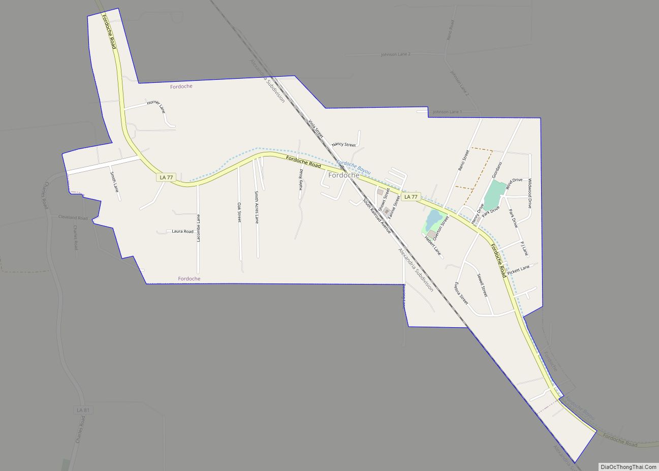
Morganza Road Map
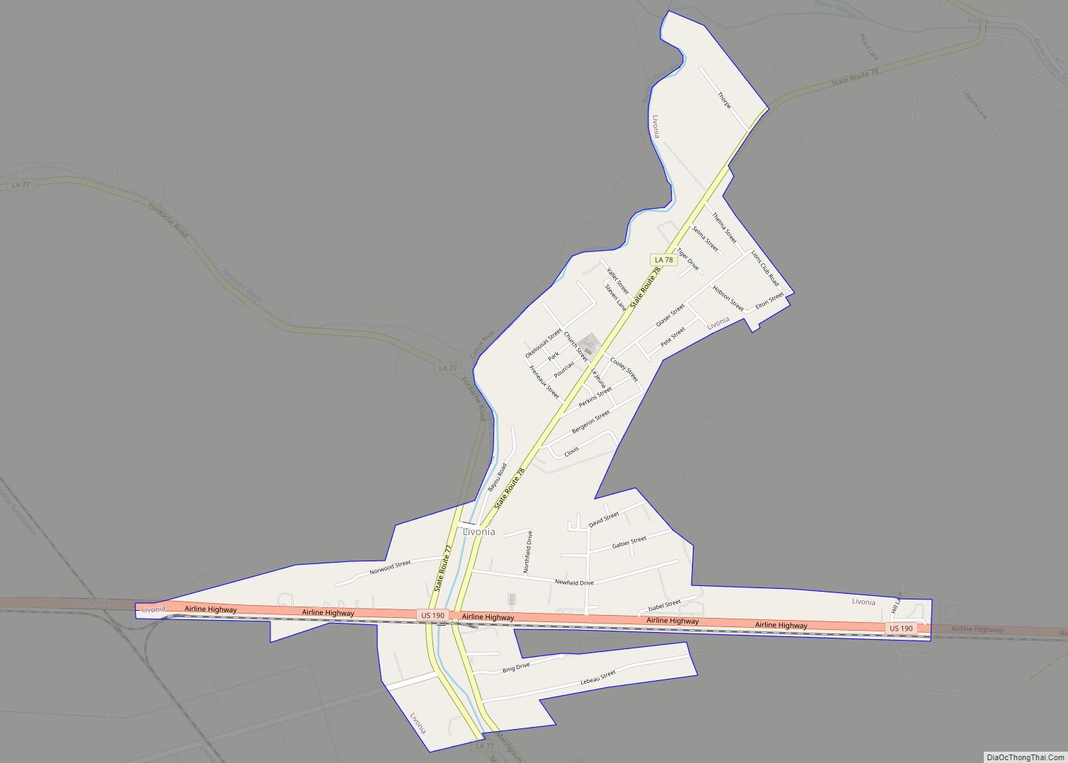
Morganza city Satellite Map
Geography
Morganza is located at 30°44′8″N 91°35′36″W / 30.73556°N 91.59333°W / 30.73556; -91.59333 (30.735681, -91.593390).
According to the United States Census Bureau, the village has a total area of 1.4 square miles (3.6 km), of which 1.2 square miles (3.1 km) is land and 0.2 square miles (0.52 km) (15.11%) is water.
Climate
Climate is characterized by relatively high temperatures and evenly distributed precipitation throughout the year. The coldest month is usually quite mild, although frosts are not uncommon, and winter precipitation is derived primarily from frontal cyclones along the polar front. The Köppen Climate Classification subtype for this climate is “Cfa”. (Humid Subtropical Climate).
See also
Map of Louisiana State and its subdivision:- Acadia
- Allen
- Ascension
- Assumption
- Avoyelles
- Beauregard
- Bienville
- Bossier
- Caddo
- Calcasieu
- Caldwell
- Cameron
- Catahoula
- Claiborne
- Concordia
- De Soto
- East Baton Rouge
- East Carroll
- East Feliciana
- Evangeline
- Franklin
- Grant
- Iberia
- Iberville
- Jackson
- Jefferson
- Jefferson Davis
- La Salle
- Lafayette
- Lafourche
- Lincoln
- Livingston
- Madison
- Morehouse
- Natchitoches
- Orleans
- Ouachita
- Plaquemines
- Pointe Coupee
- Rapides
- Red River
- Richland
- Sabine
- Saint Bernard
- Saint Charles
- Saint Helena
- Saint James
- Saint John the Baptist
- Saint Landry
- Saint Martin
- Saint Mary
- Saint Tammany
- Tangipahoa
- Tensas
- Terrebonne
- Union
- Vermilion
- Vernon
- Washington
- Webster
- West Baton Rouge
- West Carroll
- West Feliciana
- Winn
- Alabama
- Alaska
- Arizona
- Arkansas
- California
- Colorado
- Connecticut
- Delaware
- District of Columbia
- Florida
- Georgia
- Hawaii
- Idaho
- Illinois
- Indiana
- Iowa
- Kansas
- Kentucky
- Louisiana
- Maine
- Maryland
- Massachusetts
- Michigan
- Minnesota
- Mississippi
- Missouri
- Montana
- Nebraska
- Nevada
- New Hampshire
- New Jersey
- New Mexico
- New York
- North Carolina
- North Dakota
- Ohio
- Oklahoma
- Oregon
- Pennsylvania
- Rhode Island
- South Carolina
- South Dakota
- Tennessee
- Texas
- Utah
- Vermont
- Virginia
- Washington
- West Virginia
- Wisconsin
- Wyoming
