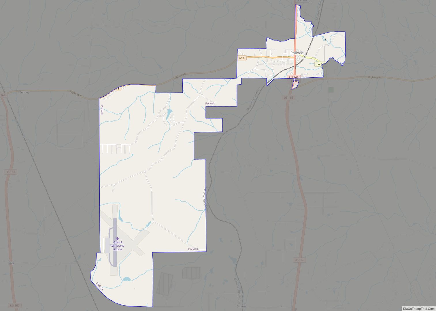
Pollock is a small town in Grant Parish, Louisiana, United States. It is part of the Alexandria, Louisiana Metropolitan Statistical Area. The population was 469 as of the 2010 census, up from 376 in 2000. Pollock and southern Grant Parish have been experiencing residential and business growth in recent years. The population of Pollock increased between the 2000 and 2010 censuses as a result of the annexation of the land surrounding a federal prison, the United States Penitentiary, Pollock.
| Name: | Pollock town |
|---|---|
| LSAD Code: | 43 |
| LSAD Description: | town (suffix) |
| State: | Louisiana |
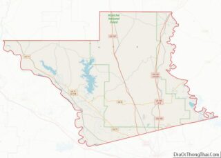
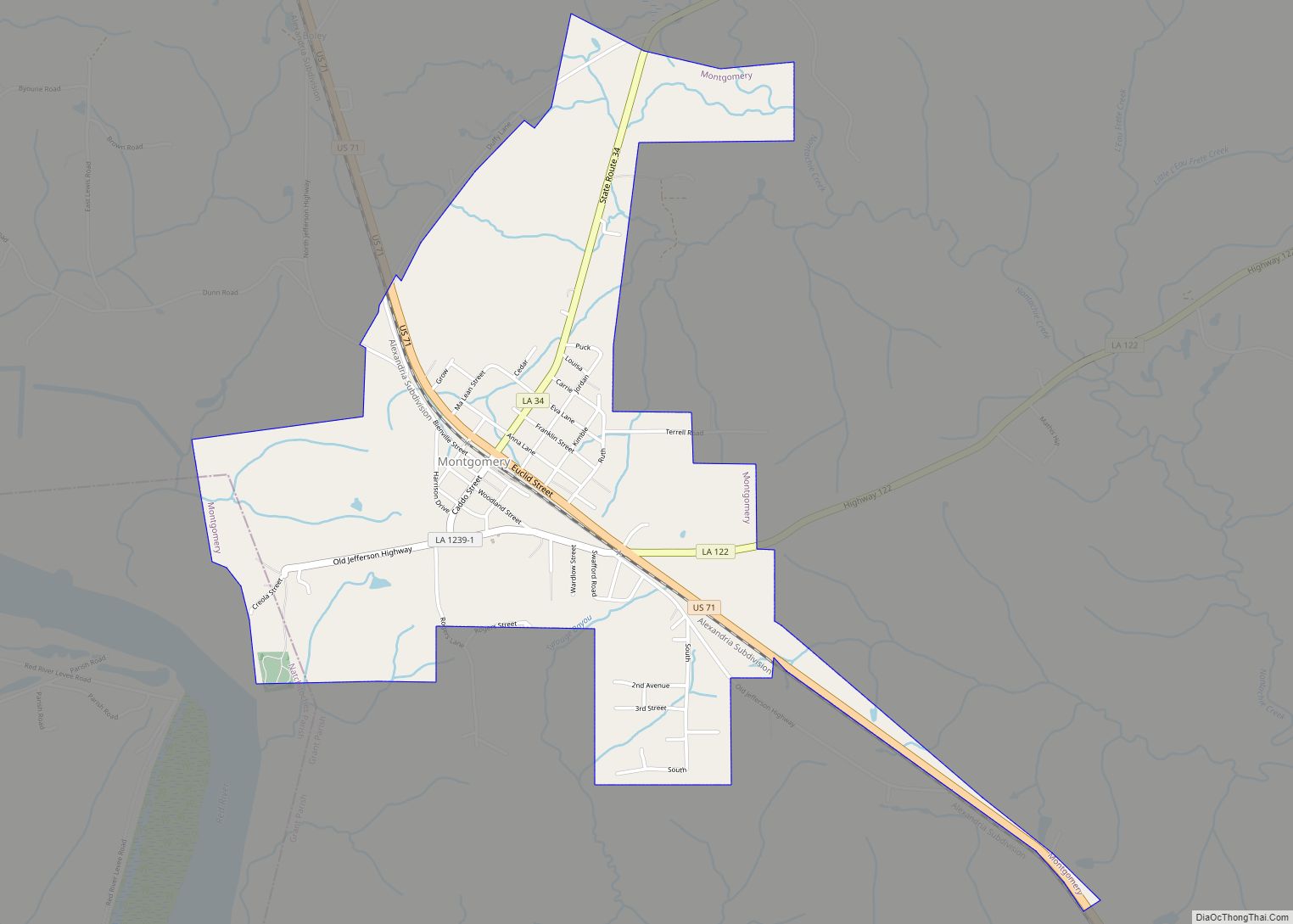
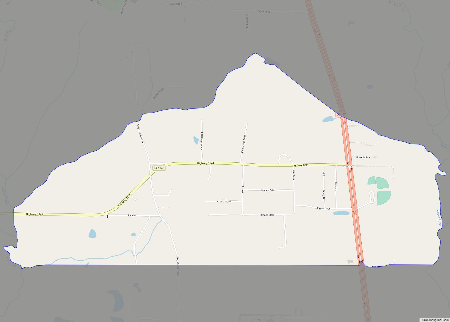
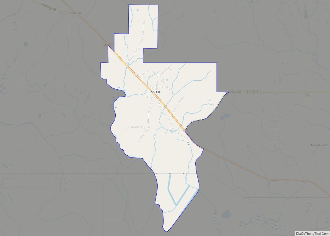
| County: | Grant Parish |
| Elevation: | 118 ft (36 m) |
| Total Area: | 7.87 sq mi (20.37 km²) |
| Land Area: | 7.84 sq mi (20.29 km²) |
| Water Area: | 0.03 sq mi (0.08 km²) |
| Total Population: | 394 |
| Population Density: | 50.28/sq mi (19.41/km²) |
| Area code: | 318 |
| FIPS code: | 2261580 |
| Website: | www.pollockla.us |
Online Interactive Map
Click on ![]() to view map in "full screen" mode.
to view map in "full screen" mode.
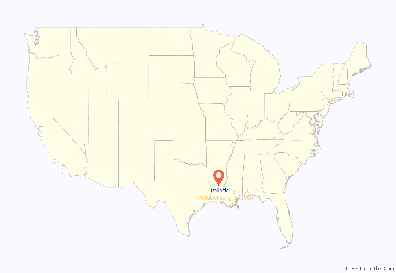
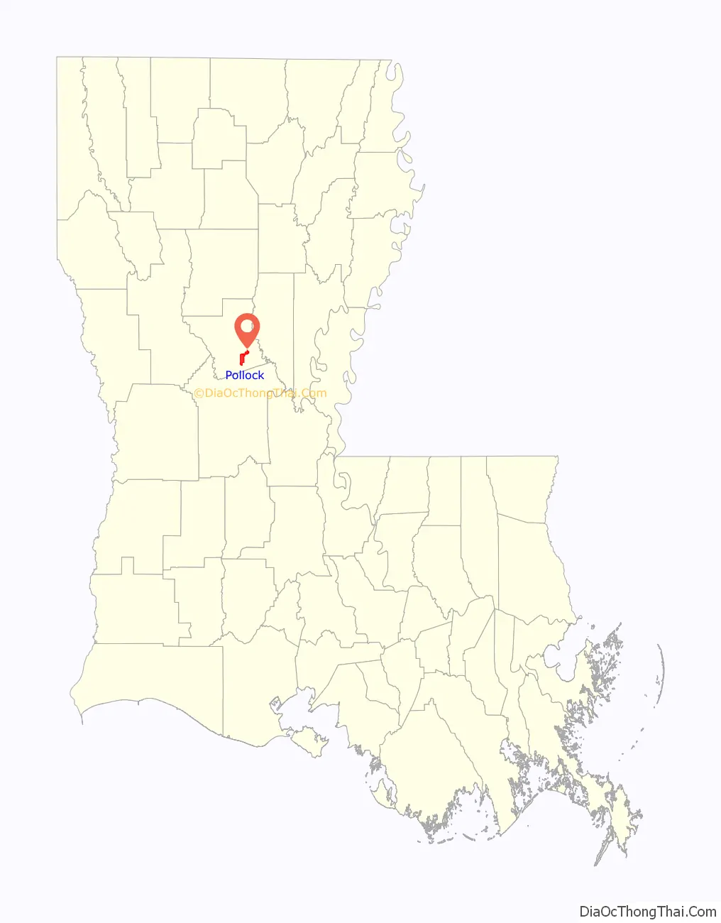
Pollock location map. Where is Pollock town?
History
The town proper that sprang up in 1892 around a sawmill was named in honor of the manager of the Big Creek Sawmill and Lumber Company, Captain James W. Pollock.
Pollock was for many years a sundown town, a community that did not allow black people to be there after sundown. Historian Herbert Aptheker reported a sign “Niggers stay out of Pollock” at the town’s boundary during World War II when he commanded a group of black soldiers nearby. The town’s official history notes “the few individuals of African descent” living in the Pollock area left soon after the Colfax massacre. The Louisiana Almanac reported that as late as 1990, Pollock still had no black residents.
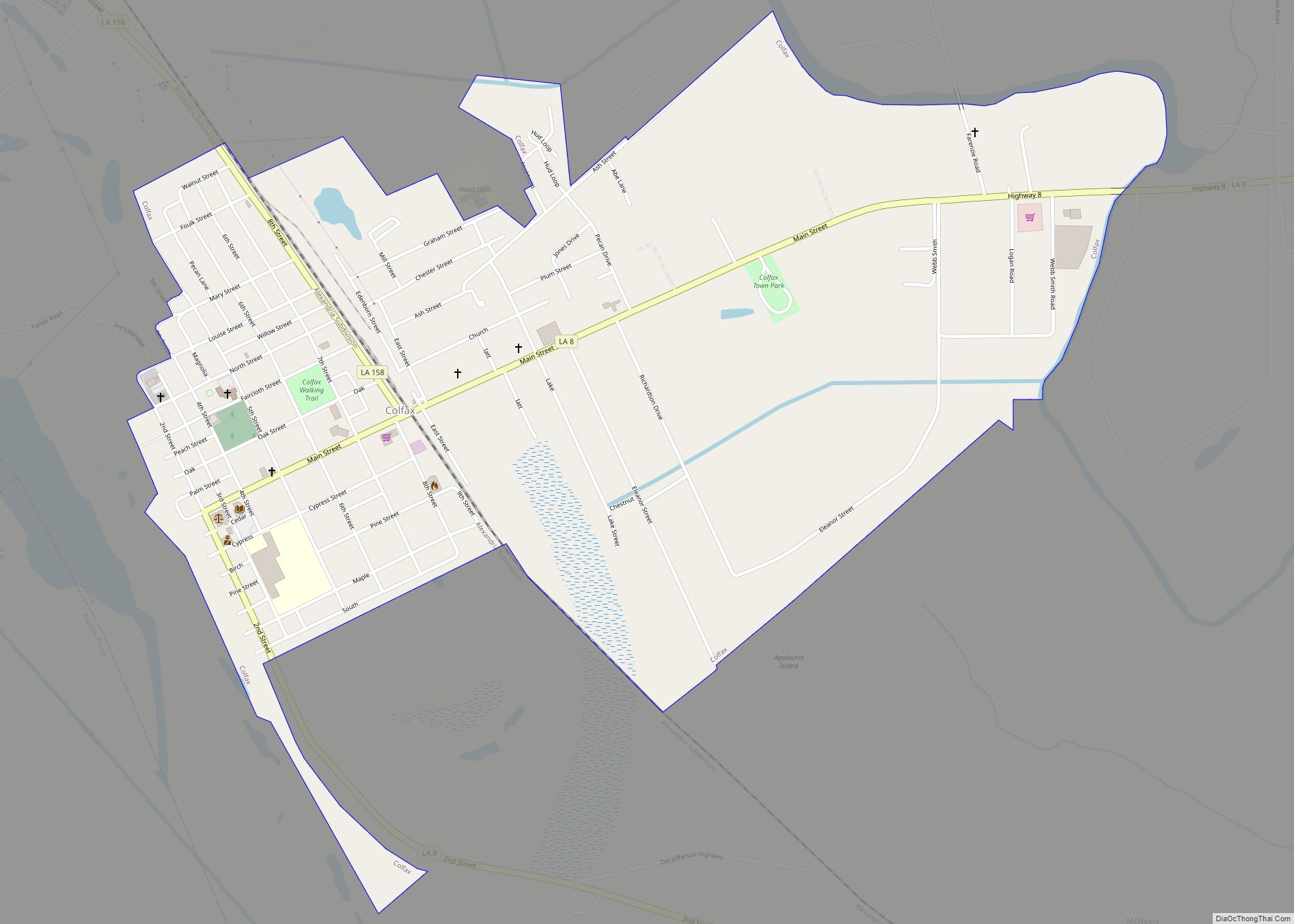
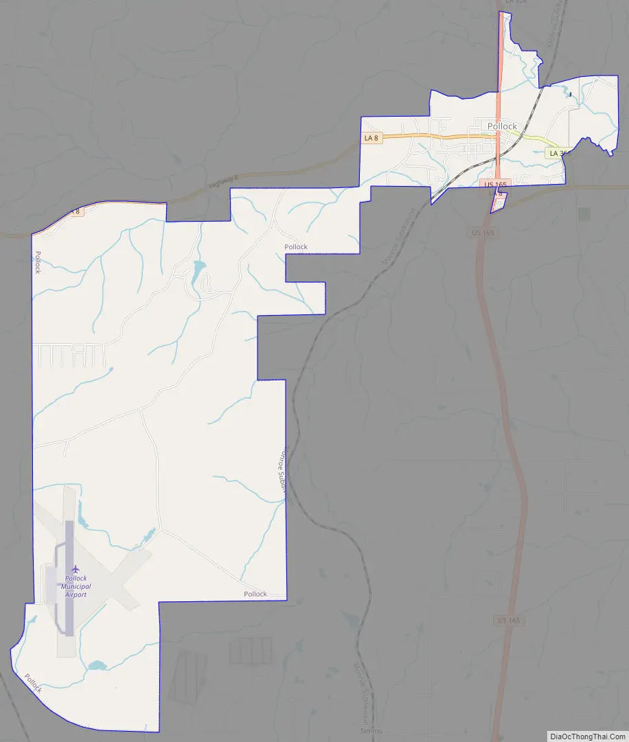
Pollock Road Map
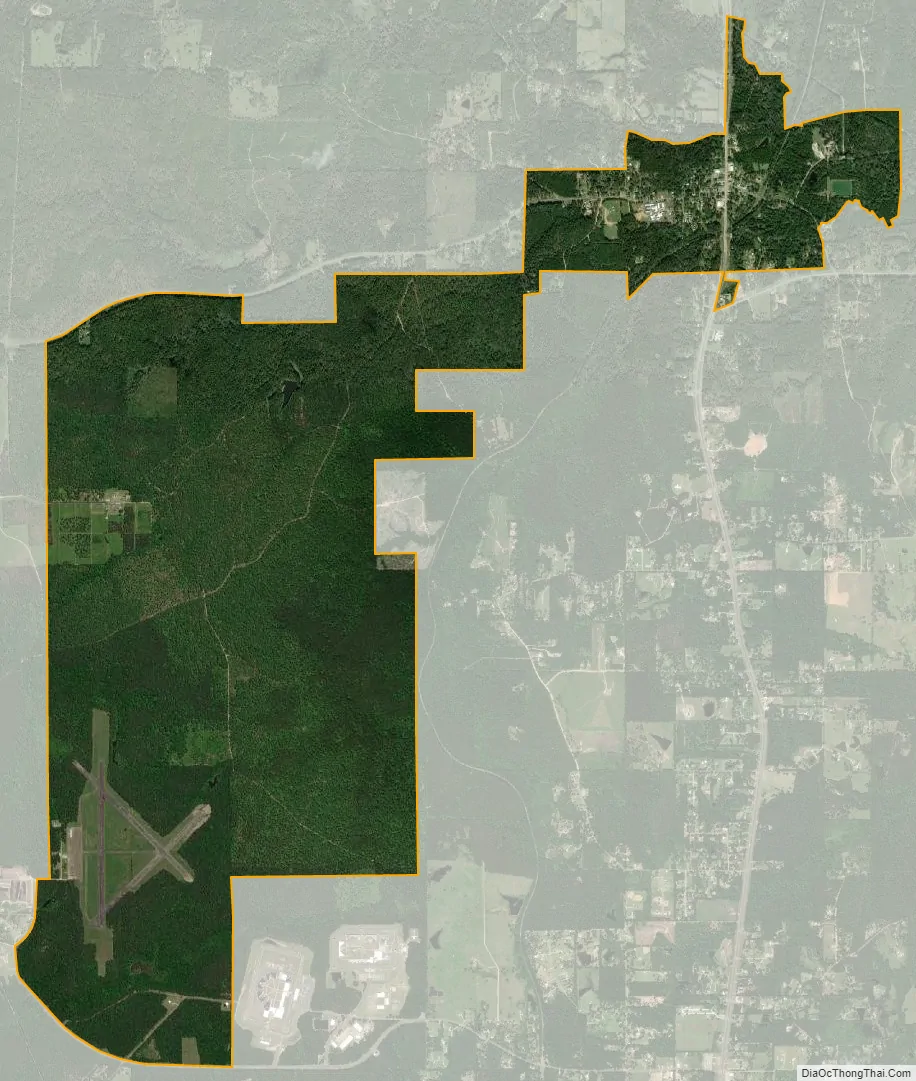
Pollock city Satellite Map
Geography
Pollock is located in southeastern Grant Parish at 31°31′29″N 92°24′32″W / 31.52472°N 92.40889°W / 31.52472; -92.40889 (31.524760, -92.408866) and has an elevation of 118 feet (36.0 m). U.S. Route 165 is the main highway through the town, leading north 16 miles (26 km) to Georgetown and south 16 miles to Alexandria. According to the United States Census Bureau, the town has a total area of 1.3 square miles (3.3 km), all land.
Pollock is within Kisatchie National Forest. Stuart Lake Recreational Area, part of the national forest, is 2.5 miles (4.0 km) southwest of the center of town.
See also
Map of Louisiana State and its subdivision:- Acadia
- Allen
- Ascension
- Assumption
- Avoyelles
- Beauregard
- Bienville
- Bossier
- Caddo
- Calcasieu
- Caldwell
- Cameron
- Catahoula
- Claiborne
- Concordia
- De Soto
- East Baton Rouge
- East Carroll
- East Feliciana
- Evangeline
- Franklin
- Grant
- Iberia
- Iberville
- Jackson
- Jefferson
- Jefferson Davis
- La Salle
- Lafayette
- Lafourche
- Lincoln
- Livingston
- Madison
- Morehouse
- Natchitoches
- Orleans
- Ouachita
- Plaquemines
- Pointe Coupee
- Rapides
- Red River
- Richland
- Sabine
- Saint Bernard
- Saint Charles
- Saint Helena
- Saint James
- Saint John the Baptist
- Saint Landry
- Saint Martin
- Saint Mary
- Saint Tammany
- Tangipahoa
- Tensas
- Terrebonne
- Union
- Vermilion
- Vernon
- Washington
- Webster
- West Baton Rouge
- West Carroll
- West Feliciana
- Winn
- Alabama
- Alaska
- Arizona
- Arkansas
- California
- Colorado
- Connecticut
- Delaware
- District of Columbia
- Florida
- Georgia
- Hawaii
- Idaho
- Illinois
- Indiana
- Iowa
- Kansas
- Kentucky
- Louisiana
- Maine
- Maryland
- Massachusetts
- Michigan
- Minnesota
- Mississippi
- Missouri
- Montana
- Nebraska
- Nevada
- New Hampshire
- New Jersey
- New Mexico
- New York
- North Carolina
- North Dakota
- Ohio
- Oklahoma
- Oregon
- Pennsylvania
- Rhode Island
- South Carolina
- South Dakota
- Tennessee
- Texas
- Utah
- Vermont
- Virginia
- Washington
- West Virginia
- Wisconsin
- Wyoming