Ringgold is a town in the U.S. state of Louisiana, in the western half of Bienville Parish. The town of Ringgold is named for United States Army Major Samuel Ringgold. The population of Ringgold was 1,495 at the 2010 census, and 1,370 at the U.S. Census Bureau’s 2019 estimates, down from 1,601 in 2018. The 2020 U.S. census estimates program recorded a population of 1,336, though the census established a population of 1,379. It is the second largest incorporated municipality in Bienville Parish by population.
| Name: | Ringgold town |
|---|---|
| LSAD Code: | 43 |
| LSAD Description: | town (suffix) |
| State: | Louisiana |
| County: | Bienville Parish |
| Elevation: | 279 ft (85 m) |
| Total Area: | 2.32 sq mi (6.01 km²) |
| Land Area: | 2.31 sq mi (6.00 km²) |
| Water Area: | 0.01 sq mi (0.01 km²) |
| Total Population: | 1,379 |
| Population Density: | 595.68/sq mi (229.96/km²) |
| Area code: | 318 |
| FIPS code: | 2264905 |
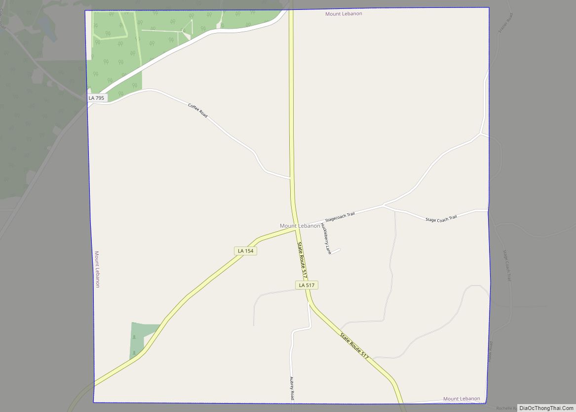
Online Interactive Map
Click on ![]() to view map in "full screen" mode.
to view map in "full screen" mode.
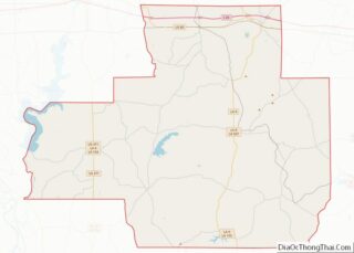
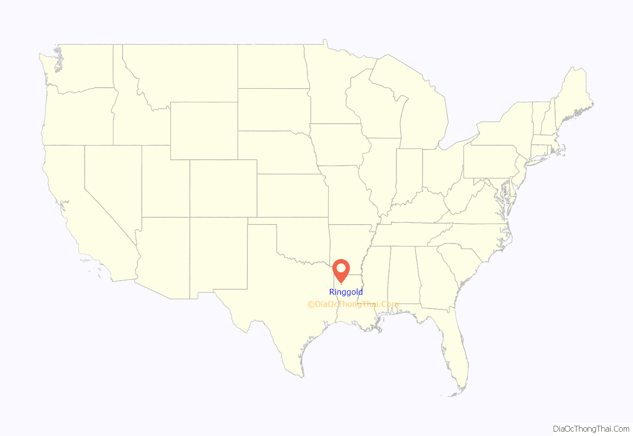
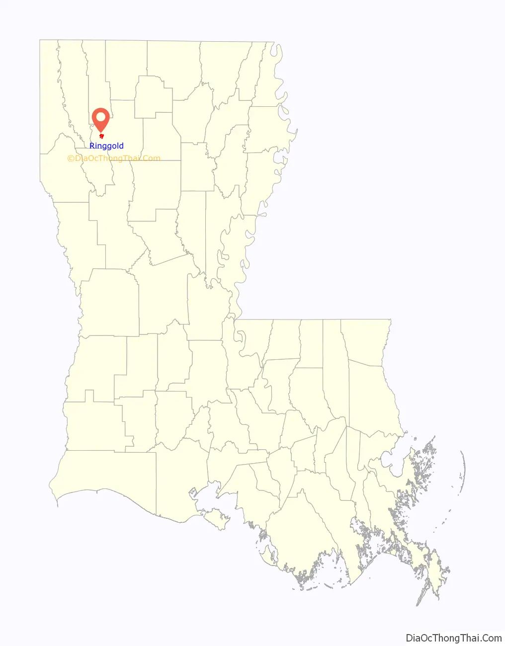
Ringgold location map. Where is Ringgold town?
History
It is unlikely that René-Robert Cavelier, Sieur de La Salle in his 1687 journey into Louisiana ever set foot in Bienville Parish. In 1690, the Ringgold area was explored by the scout Domingo Terán de los Ríos, whom the government of Mexico sent to determine the extent of the holdings of the Caddo Indians. He was considered the first white leader to sight what became the man-made Lake Bistineau. A priest with the expedition, Father Masinettes, established “Mission Loretteto.” De los Rios was thereafter from 1891 to 1892 the first governor of Spanish Texas.
In November 1933, C. E. Tomme (1882-1948), a telephone executive who was previously a county commissioner of Newton County in East Texas, was appointed mayor of Ringgold by Governor Oscar K. Allen. Tomme, who relocated to Ringgold in 1920, filled the position vacated by his fellow Democrat, Walter McDowell. Tomme previously served on the Bienville Parish School Board and the parish Democratic Executive Committee. In the spring of 1934, Tomme won election to the post, 86-66, over Dave Thomas.
In 1933, African American Nelson Nash was lynched and hung in the town. He died protecting his wife.
Ringgold became the home of a Southland Christian Ministries camp and retreat located on a 23-acre lake off U.S. Route 371 north of the community. Initially constructed during the early 1940s by the United States Army Corps of Engineers, the facility was purchased in the middle 1940s by the Bible Memory Association, which then operated “Miracle Camp” until it was closed for financial reasons in the early 1990s. Southland subsequently obtained the property with help of the Tri-City Baptist Church of Independence, Missouri. Michael Dale “Mike” Herbster (born March 1974) became camp director in 2008.
On May 2, 1984, a tornado devastated part of Ringgold. Nine were injured, though there were no deaths. The storm reached as far as nearby Jamestown. On March 25, 2017, the Ringgold Assembly of God Church under pastor Martha B. Grigg (born February 1944) was destroyed in a tornado. There were no injuries.
In 2018, the town of Ringgold was highlighted in the media for drug activity, citing lack of economic growth. Since then, the Mayor Milton Vining Administration has collaborated with the local community in an effort to reduce poverty and drugs, and attract local businesses.
During the COVID-19 pandemic in the United States, Ringgold’s government enforced a curfew, and local African American student Antavion Moore became Louisiana’s Student of the Year from 2019-2020.
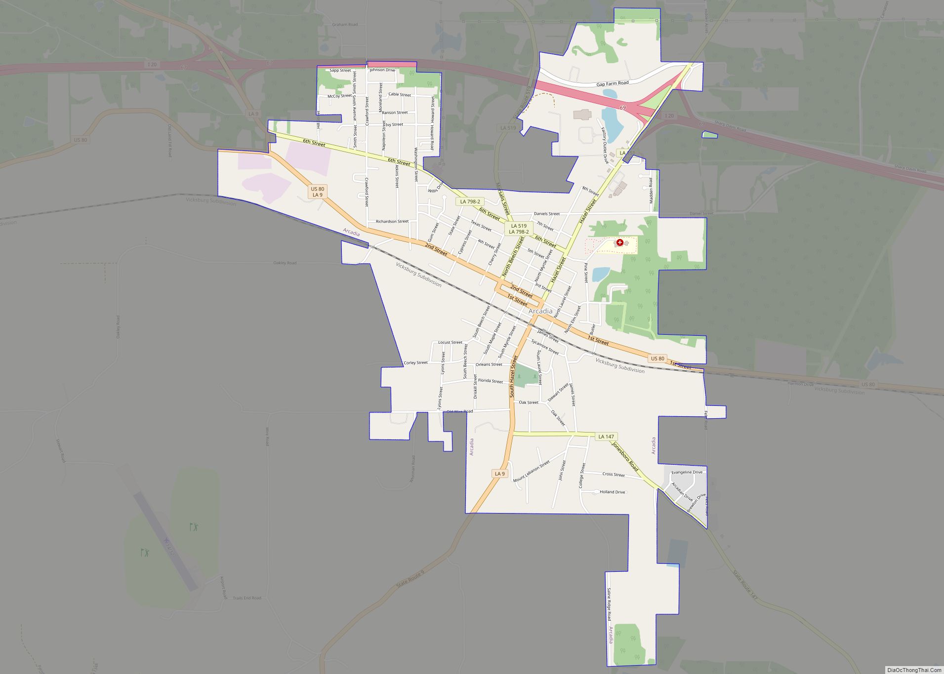
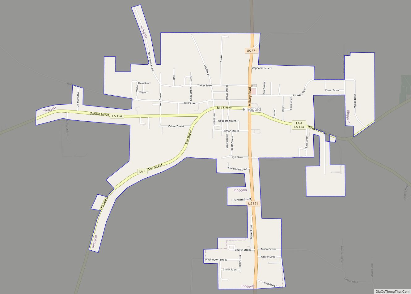
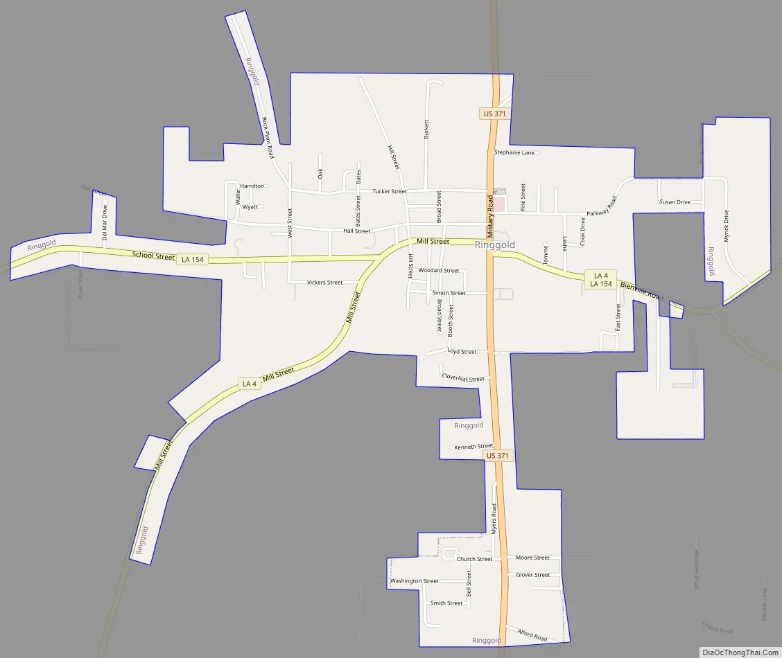
Ringgold Road Map
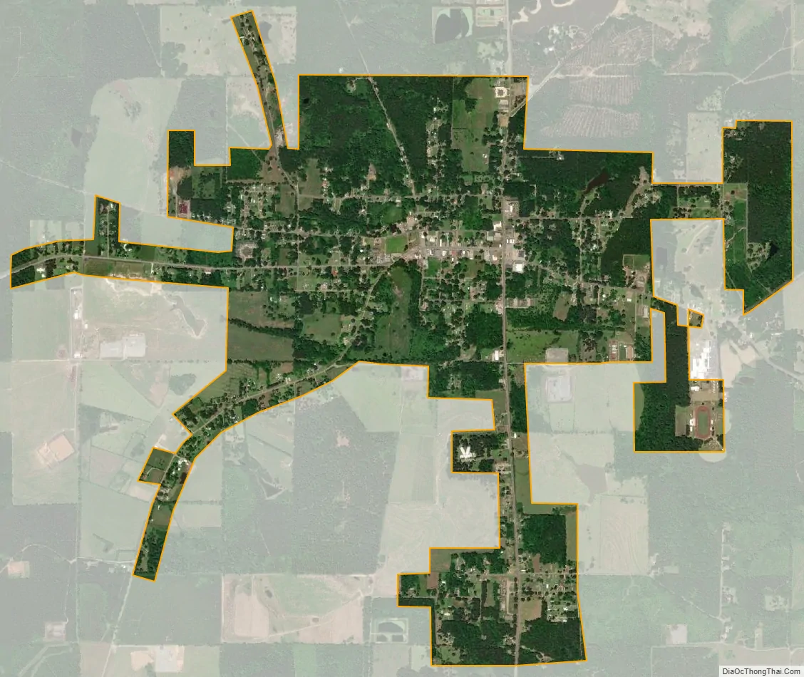
Ringgold city Satellite Map
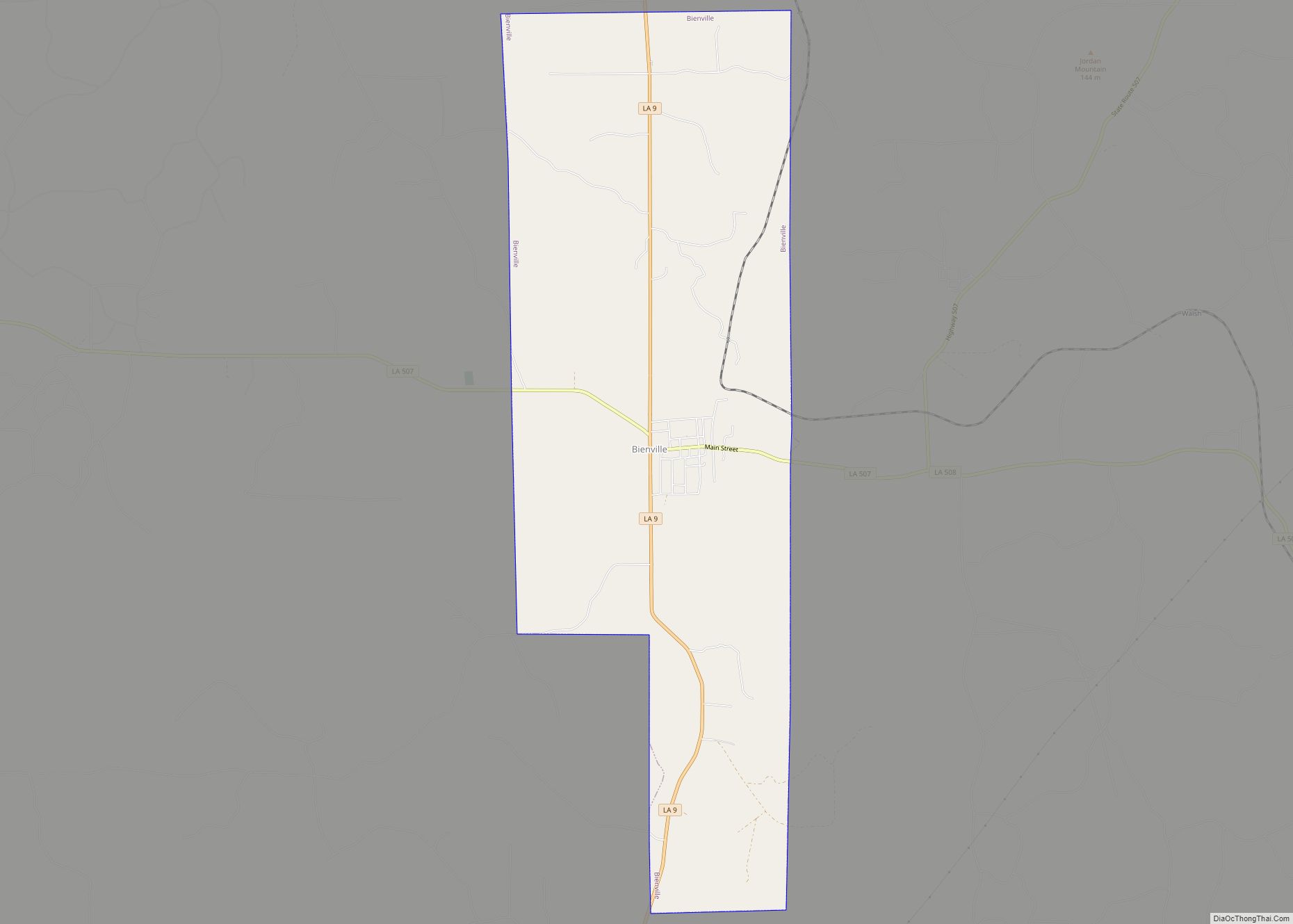
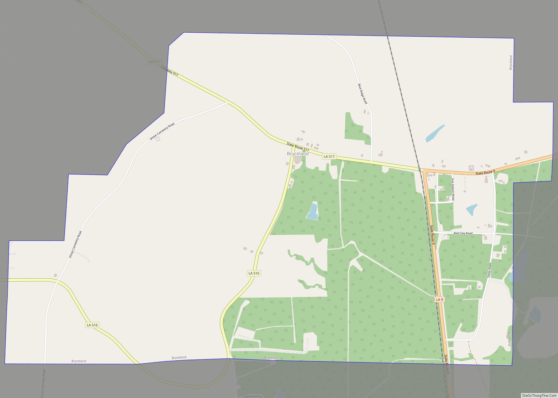
Geography
Ringgold is located in western Bienville Parish at 32°19′35″N 93°17′1″W / 32.32639°N 93.28361°W / 32.32639; -93.28361 (32.326475, -93.283588). According to the United States Census Bureau, the town has a total area of 2.3 square miles (6.0 km), all land. Common among rural North Louisiana communities, the town of Ringgold is surrounded by forests and prairie. Ringgold lies approximately 24 miles west of Driskill Mountain.
See also
Map of Louisiana State and its subdivision:- Acadia
- Allen
- Ascension
- Assumption
- Avoyelles
- Beauregard
- Bienville
- Bossier
- Caddo
- Calcasieu
- Caldwell
- Cameron
- Catahoula
- Claiborne
- Concordia
- De Soto
- East Baton Rouge
- East Carroll
- East Feliciana
- Evangeline
- Franklin
- Grant
- Iberia
- Iberville
- Jackson
- Jefferson
- Jefferson Davis
- La Salle
- Lafayette
- Lafourche
- Lincoln
- Livingston
- Madison
- Morehouse
- Natchitoches
- Orleans
- Ouachita
- Plaquemines
- Pointe Coupee
- Rapides
- Red River
- Richland
- Sabine
- Saint Bernard
- Saint Charles
- Saint Helena
- Saint James
- Saint John the Baptist
- Saint Landry
- Saint Martin
- Saint Mary
- Saint Tammany
- Tangipahoa
- Tensas
- Terrebonne
- Union
- Vermilion
- Vernon
- Washington
- Webster
- West Baton Rouge
- West Carroll
- West Feliciana
- Winn
- Alabama
- Alaska
- Arizona
- Arkansas
- California
- Colorado
- Connecticut
- Delaware
- District of Columbia
- Florida
- Georgia
- Hawaii
- Idaho
- Illinois
- Indiana
- Iowa
- Kansas
- Kentucky
- Louisiana
- Maine
- Maryland
- Massachusetts
- Michigan
- Minnesota
- Mississippi
- Missouri
- Montana
- Nebraska
- Nevada
- New Hampshire
- New Jersey
- New Mexico
- New York
- North Carolina
- North Dakota
- Ohio
- Oklahoma
- Oregon
- Pennsylvania
- Rhode Island
- South Carolina
- South Dakota
- Tennessee
- Texas
- Utah
- Vermont
- Virginia
- Washington
- West Virginia
- Wisconsin
- Wyoming