Slaughter is a town in East Feliciana Parish, Louisiana, United States. The population was 997 at the 2010 U.S. census, down from 1,011 at the 2000 U.S. census. At the 2020 population estimates program, the U.S. Census Bureau estimated 882 people lived in the township. Slaughter is part of the Baton Rouge metropolitan statistical area.
| Name: | Slaughter town |
|---|---|
| LSAD Code: | 43 |
| LSAD Description: | town (suffix) |
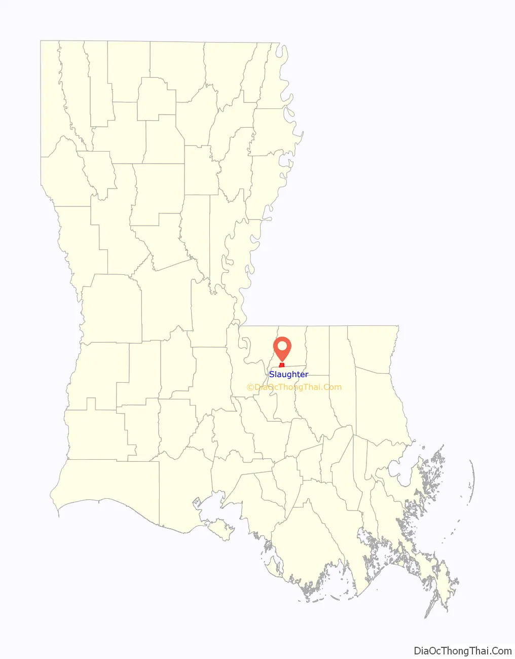
| State: | Louisiana |
| County: | East Feliciana Parish |
| Elevation: | 131 ft (40 m) |
| Total Area: | 5.48 sq mi (14.18 km²) |
| Land Area: | 5.47 sq mi (14.16 km²) |
| Water Area: | 0.01 sq mi (0.02 km²) |
| Total Population: | 1,035 |
| Population Density: | 189.35/sq mi (73.11/km²) |
| ZIP code: | 70777 |
| Area code: | 225 |
| FIPS code: | 2270770 |
| Website: | www.townofslaughter.org |
Online Interactive Map
Click on ![]() to view map in "full screen" mode.
to view map in "full screen" mode.
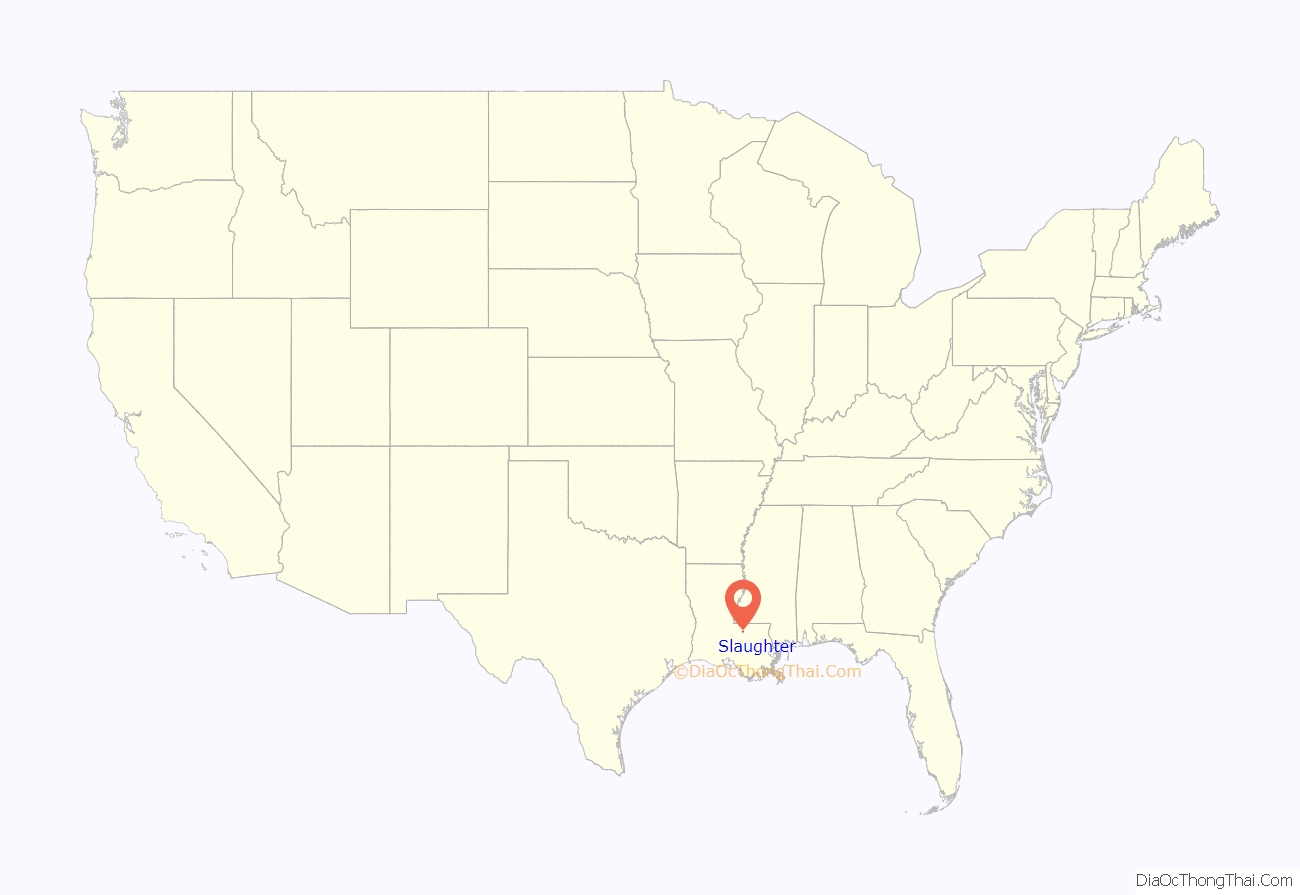
Slaughter location map. Where is Slaughter town?
History
The name of the town is from a Illinois Central Railroad Depot for a pig slaughter house. figures in the title of Michael Ondaatje’s novel about legendary jazz player Buddy Bolden: Coming Through Slaughter. Slaughter was designated a town in 2002.
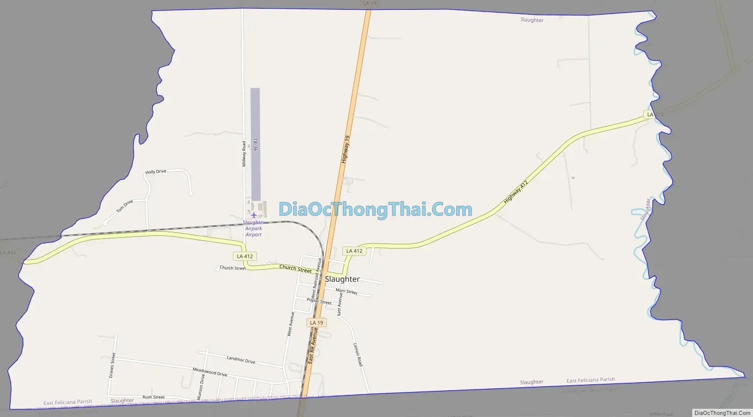
Slaughter Road Map
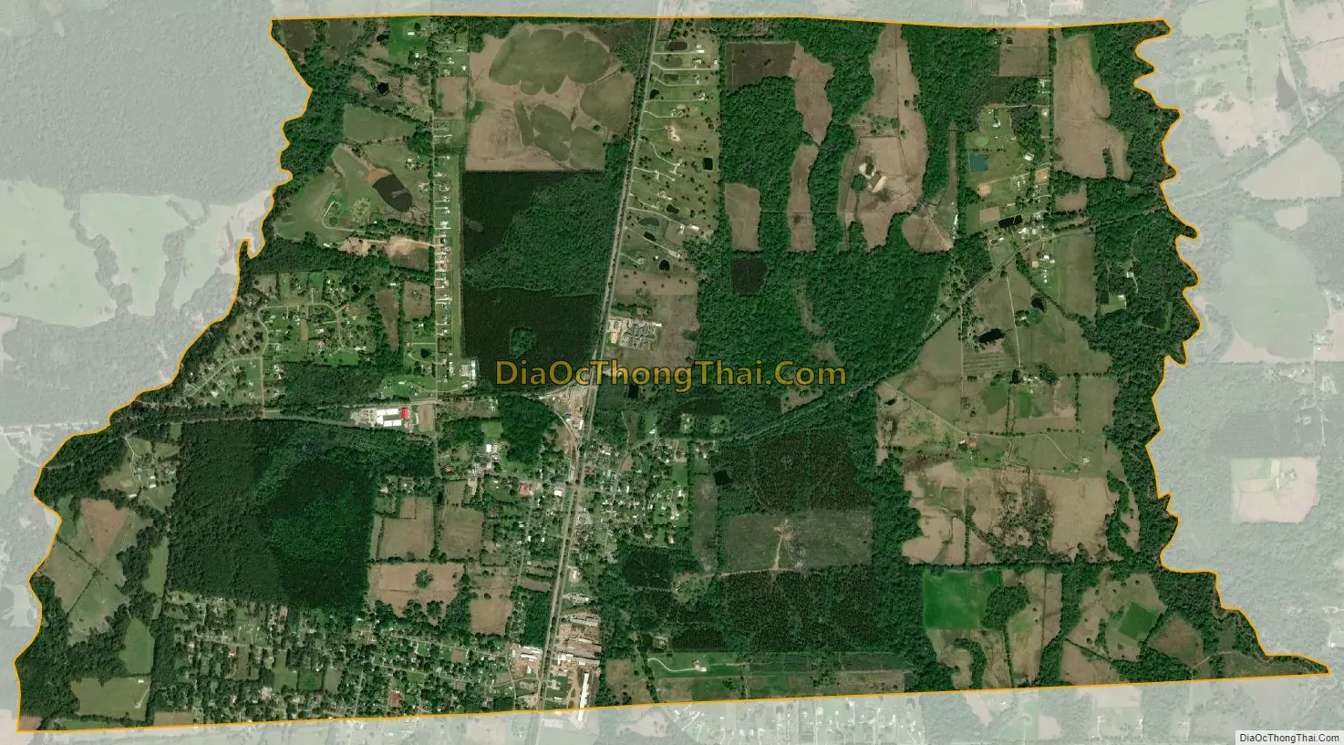
Slaughter city Satellite Map
Geography
Slaughter is located along the southern edge of East Feliciana Parish at 30°42′59″N 91°8′40″W / 30.71639°N 91.14444°W / 30.71639; -91.14444 (30.716484, -91.144506). The town is bordered on the south by the city of Zachary in East Baton Rouge Parish.
Louisiana Highway 19 passes through Slaughter, leading north 15 miles (24 km) to Wilson and south 20 miles (32 km) to Baton Rouge. Clinton, the East Feliciana Parish seat, is 14 miles (23 km) to the northeast.
According to the United States Census Bureau, Slaughter has a total area of 5.5 square miles (14.2 km), of which 0.01 square miles (0.02 km), or 0.16%, is water.
See also
Map of Louisiana State and its subdivision:- Acadia
- Allen
- Ascension
- Assumption
- Avoyelles
- Beauregard
- Bienville
- Bossier
- Caddo
- Calcasieu
- Caldwell
- Cameron
- Catahoula
- Claiborne
- Concordia
- De Soto
- East Baton Rouge
- East Carroll
- East Feliciana
- Evangeline
- Franklin
- Grant
- Iberia
- Iberville
- Jackson
- Jefferson
- Jefferson Davis
- La Salle
- Lafayette
- Lafourche
- Lincoln
- Livingston
- Madison
- Morehouse
- Natchitoches
- Orleans
- Ouachita
- Plaquemines
- Pointe Coupee
- Rapides
- Red River
- Richland
- Sabine
- Saint Bernard
- Saint Charles
- Saint Helena
- Saint James
- Saint John the Baptist
- Saint Landry
- Saint Martin
- Saint Mary
- Saint Tammany
- Tangipahoa
- Tensas
- Terrebonne
- Union
- Vermilion
- Vernon
- Washington
- Webster
- West Baton Rouge
- West Carroll
- West Feliciana
- Winn
- Alabama
- Alaska
- Arizona
- Arkansas
- California
- Colorado
- Connecticut
- Delaware
- District of Columbia
- Florida
- Georgia
- Hawaii
- Idaho
- Illinois
- Indiana
- Iowa
- Kansas
- Kentucky
- Louisiana
- Maine
- Maryland
- Massachusetts
- Michigan
- Minnesota
- Mississippi
- Missouri
- Montana
- Nebraska
- Nevada
- New Hampshire
- New Jersey
- New Mexico
- New York
- North Carolina
- North Dakota
- Ohio
- Oklahoma
- Oregon
- Pennsylvania
- Rhode Island
- South Carolina
- South Dakota
- Tennessee
- Texas
- Utah
- Vermont
- Virginia
- Washington
- West Virginia
- Wisconsin
- Wyoming


