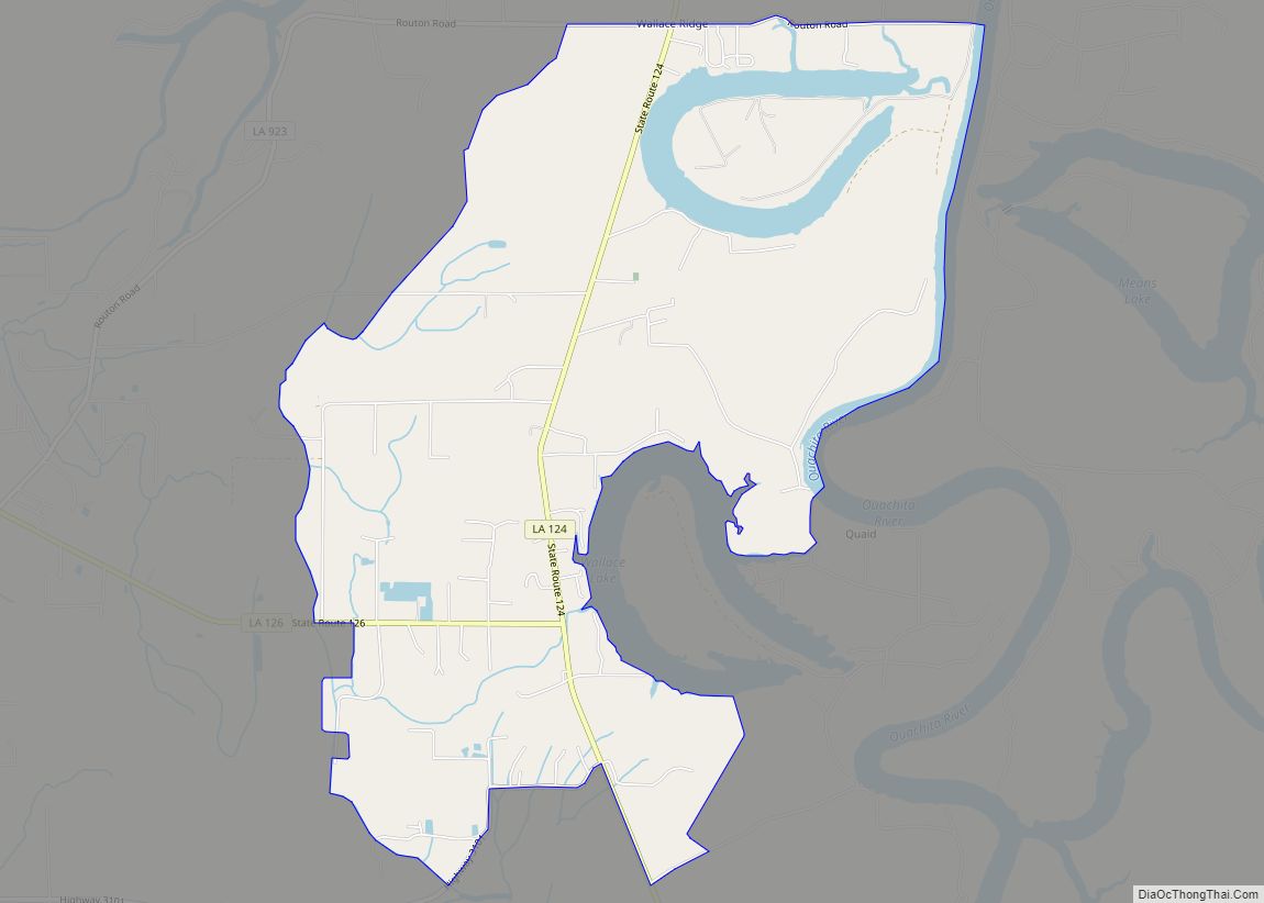
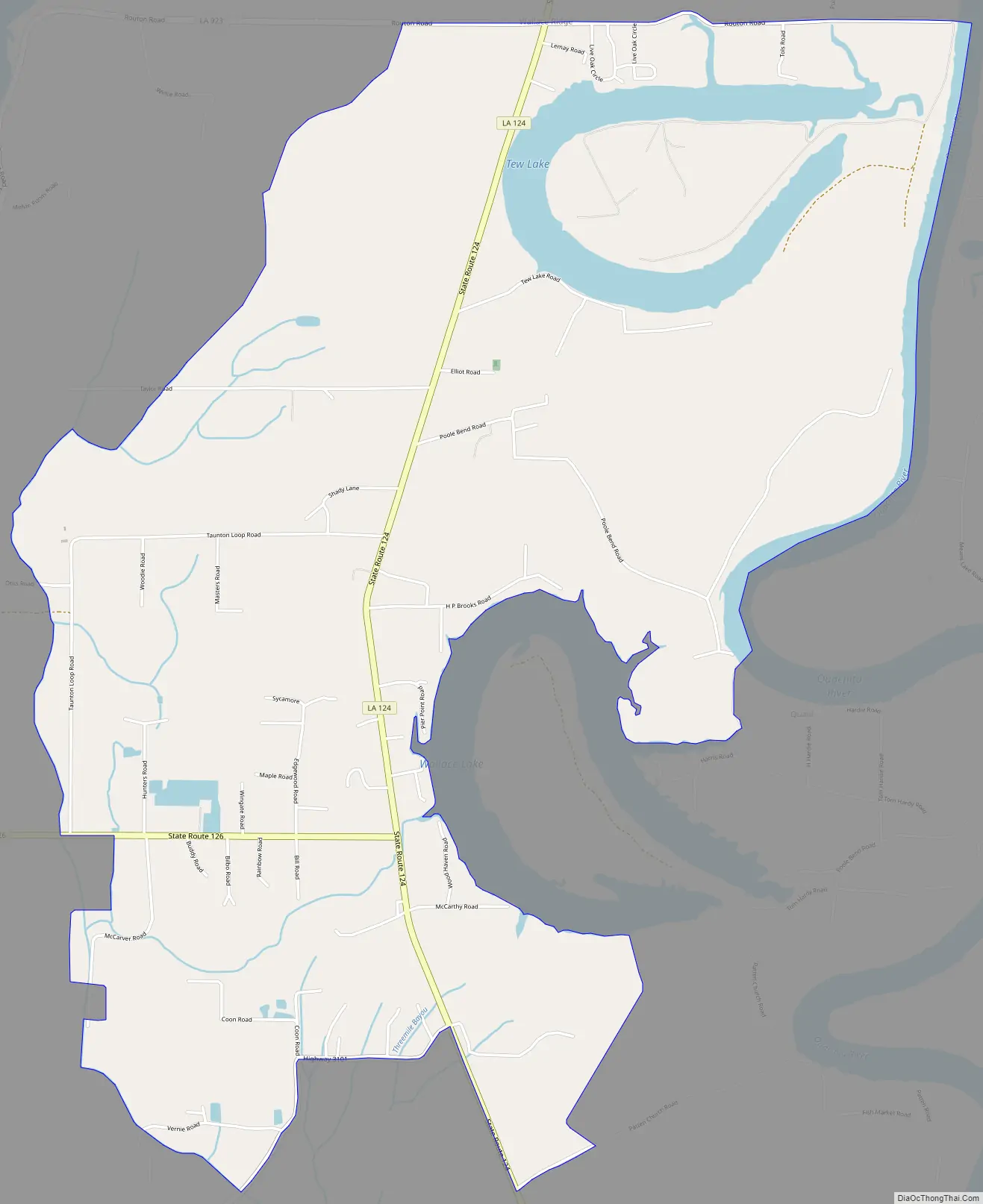
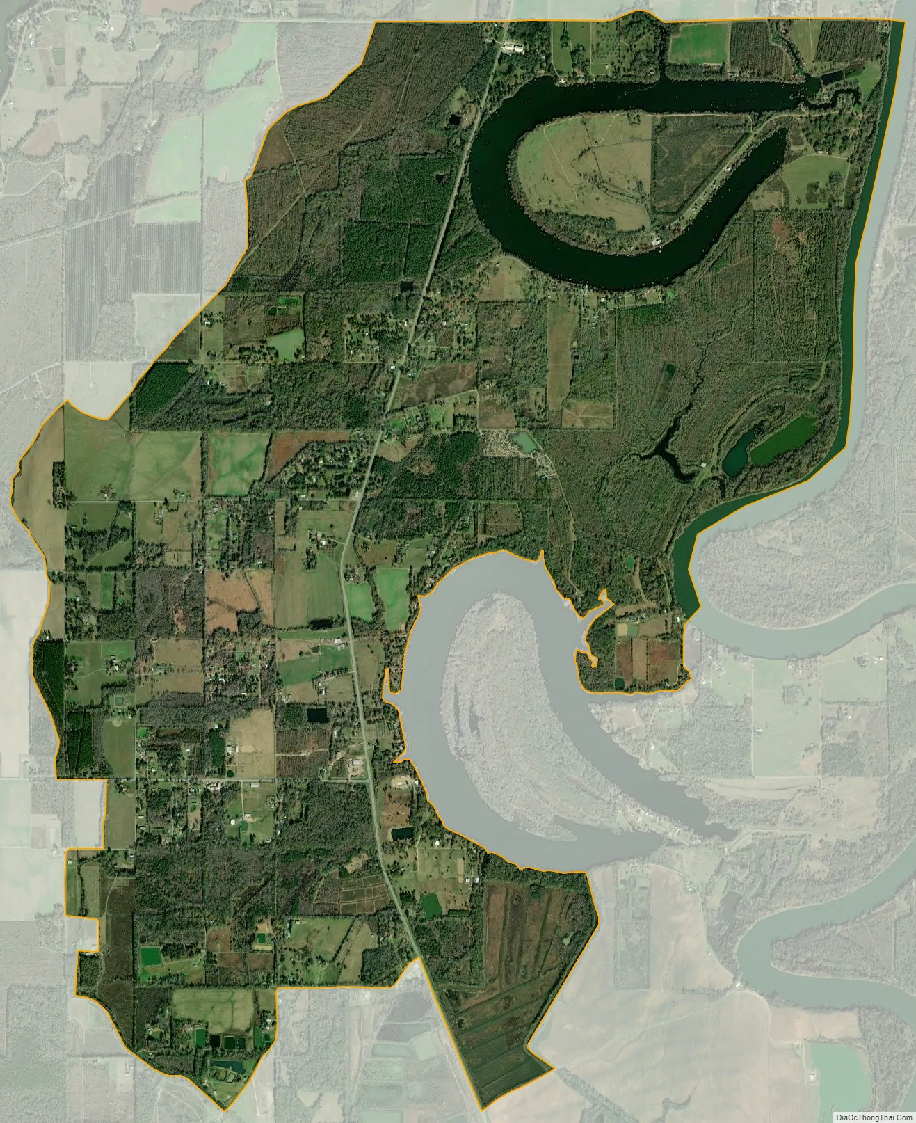
Wallace Ridge is an unincorporated community and census-designated place (CDP) in Catahoula Parish, Louisiana, United States. As of the 2010 census it had a population of 710. It is located northeast of the center of Catahoula Parish on the west side of the Ouachita River. Tew Lake, a former channel of the river that is now an oxbow lake, is in the northern part of the CDP, and Wallace Lake, another oxbow, borders the southern part. The original community of Wallace Ridge is on relatively higher ground on the north side of Tew Lake.
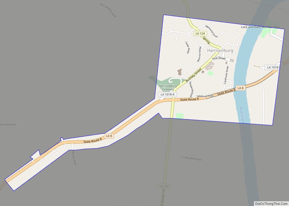
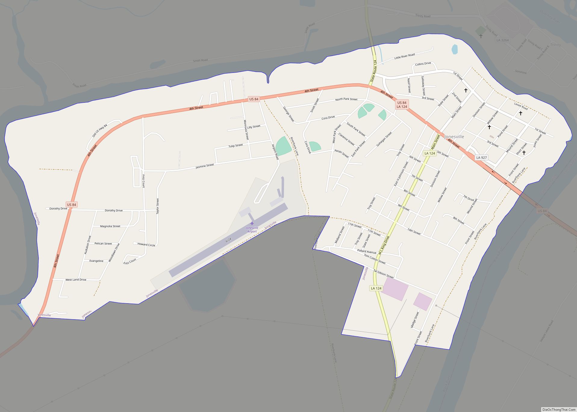
Louisiana State Highway 124 passes through Wallace Ridge, leading north 5 miles (8 km) to Harrisonburg, the Catahoula Parish seat, and south 4 miles (6 km) to Jonesville, the largest town in the parish.
| Name: | Wallace Ridge CDP |
|---|---|
| LSAD Code: | 57 |
| LSAD Description: | CDP (suffix) |
| State: | Louisiana |
| County: | Catahoula Parish |
| Elevation: | 60 ft (20 m) |
| Total Area: | 7.47 sq mi (19.33 km²) |
| Land Area: | 7.00 sq mi (18.13 km²) |
| Water Area: | 0.46 sq mi (1.20 km²) |
| Total Population: | 572 |
| Population Density: | 81.70/sq mi (31.54/km²) |
| FIPS code: | 2279310 |
Online Interactive Map
Click on ![]() to view map in "full screen" mode.
to view map in "full screen" mode.
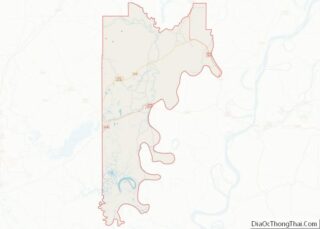
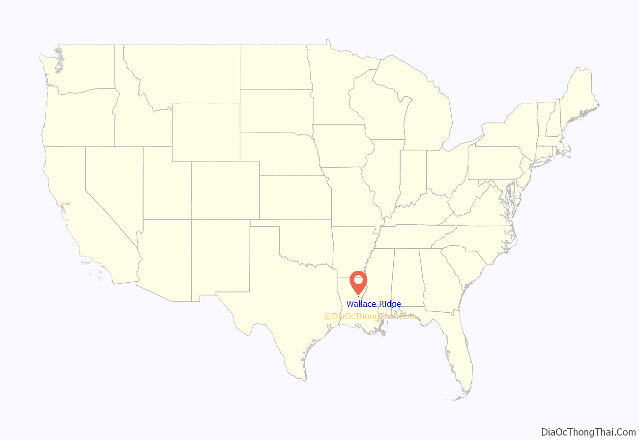
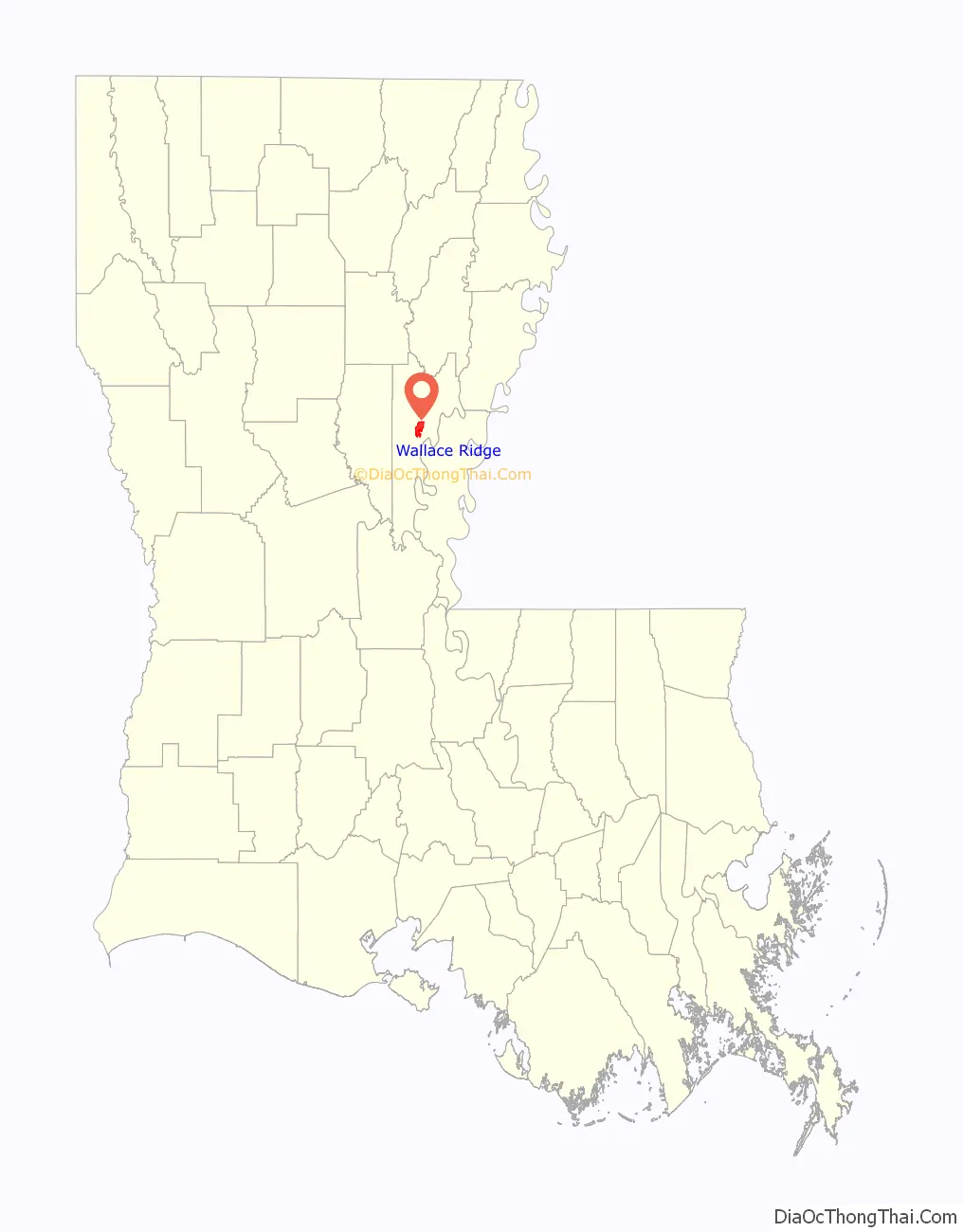
Wallace Ridge location map. Where is Wallace Ridge CDP?
Wallace Ridge Road Map
Wallace Ridge city Satellite Map
See also
Map of Louisiana State and its subdivision:- Acadia
- Allen
- Ascension
- Assumption
- Avoyelles
- Beauregard
- Bienville
- Bossier
- Caddo
- Calcasieu
- Caldwell
- Cameron
- Catahoula
- Claiborne
- Concordia
- De Soto
- East Baton Rouge
- East Carroll
- East Feliciana
- Evangeline
- Franklin
- Grant
- Iberia
- Iberville
- Jackson
- Jefferson
- Jefferson Davis
- La Salle
- Lafayette
- Lafourche
- Lincoln
- Livingston
- Madison
- Morehouse
- Natchitoches
- Orleans
- Ouachita
- Plaquemines
- Pointe Coupee
- Rapides
- Red River
- Richland
- Sabine
- Saint Bernard
- Saint Charles
- Saint Helena
- Saint James
- Saint John the Baptist
- Saint Landry
- Saint Martin
- Saint Mary
- Saint Tammany
- Tangipahoa
- Tensas
- Terrebonne
- Union
- Vermilion
- Vernon
- Washington
- Webster
- West Baton Rouge
- West Carroll
- West Feliciana
- Winn
- Alabama
- Alaska
- Arizona
- Arkansas
- California
- Colorado
- Connecticut
- Delaware
- District of Columbia
- Florida
- Georgia
- Hawaii
- Idaho
- Illinois
- Indiana
- Iowa
- Kansas
- Kentucky
- Louisiana
- Maine
- Maryland
- Massachusetts
- Michigan
- Minnesota
- Mississippi
- Missouri
- Montana
- Nebraska
- Nevada
- New Hampshire
- New Jersey
- New Mexico
- New York
- North Carolina
- North Dakota
- Ohio
- Oklahoma
- Oregon
- Pennsylvania
- Rhode Island
- South Carolina
- South Dakota
- Tennessee
- Texas
- Utah
- Vermont
- Virginia
- Washington
- West Virginia
- Wisconsin
- Wyoming