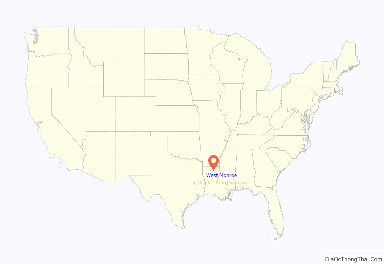
West Monroe is a city in Ouachita Parish, Louisiana, United States. It is situated on the Ouachita River, across from the neighboring city of Monroe. The two cities are often referred to as the Twin Cities of northeast Louisiana. Its population was 13,065 at the 2010 census and it is part of the Monroe Metropolitan Statistical Area. The mayor is Staci Albritton Mitchell.
| Name: | West Monroe city |
|---|---|
| LSAD Code: | 25 |
| LSAD Description: | city (suffix) |
| State: | Louisiana |
| County: | Ouachita Parish |
| Elevation: | 82 ft (25 m) |
| Total Area: | 8.31 sq mi (21.53 km²) |
| Land Area: | 8.03 sq mi (20.79 km²) |
| Water Area: | 0.29 sq mi (0.74 km²) |
| Total Population: | 13,103 |
| Population Density: | 1,632.57/sq mi (630.35/km²) |
| Area code: | 318 |
| FIPS code: | 2280955 |
Online Interactive Map
Click on ![]() to view map in "full screen" mode.
to view map in "full screen" mode.
West Monroe location map. Where is West Monroe city?
History
Originally laid out in 1837 as Byron by John Campbell at the foot of the ferry landing to Monroe, the town floundered and Campbell went bankrupt. The area was bought by Christopher Dabbs, a doctor from Virginia who submitted the plans for Cotton Port in 1854; it was officially recognized in 1859. It too languished until the arrival of the Vicksburg, Shreveport and Pacific Railway and the construction of the bridge over the Ouachita River. Cotton Port boomed as a river port and rail depot.
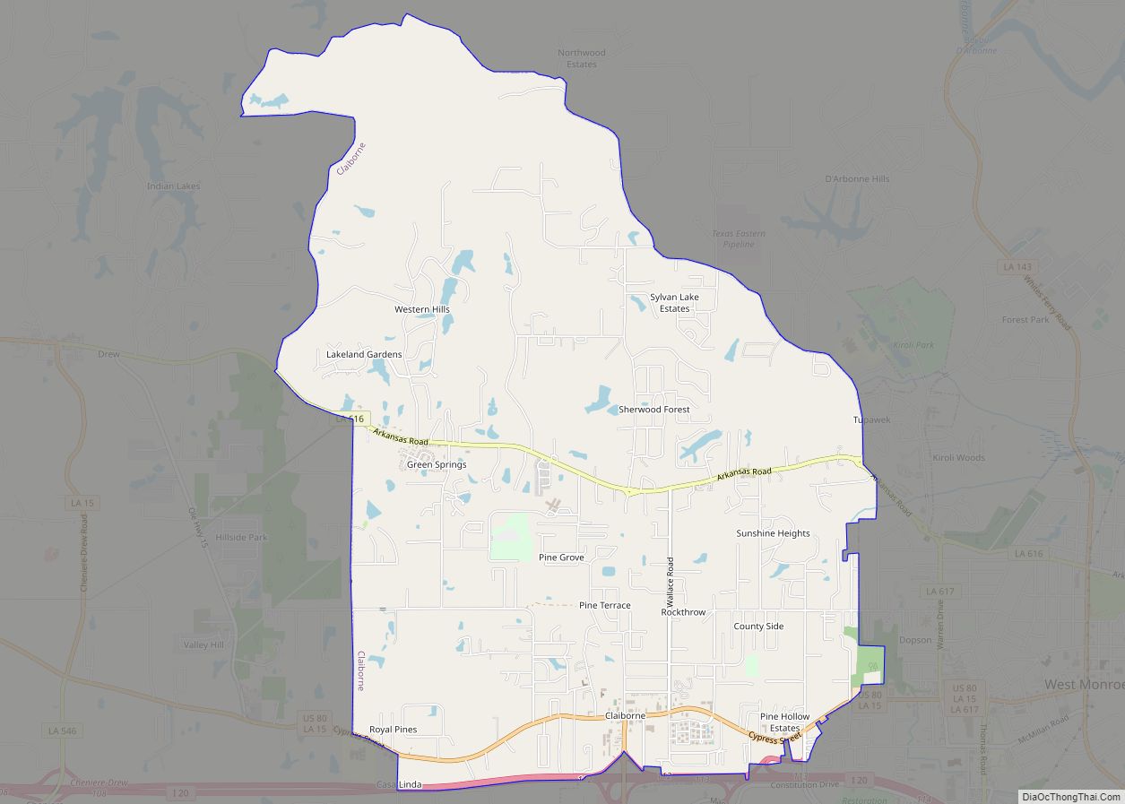
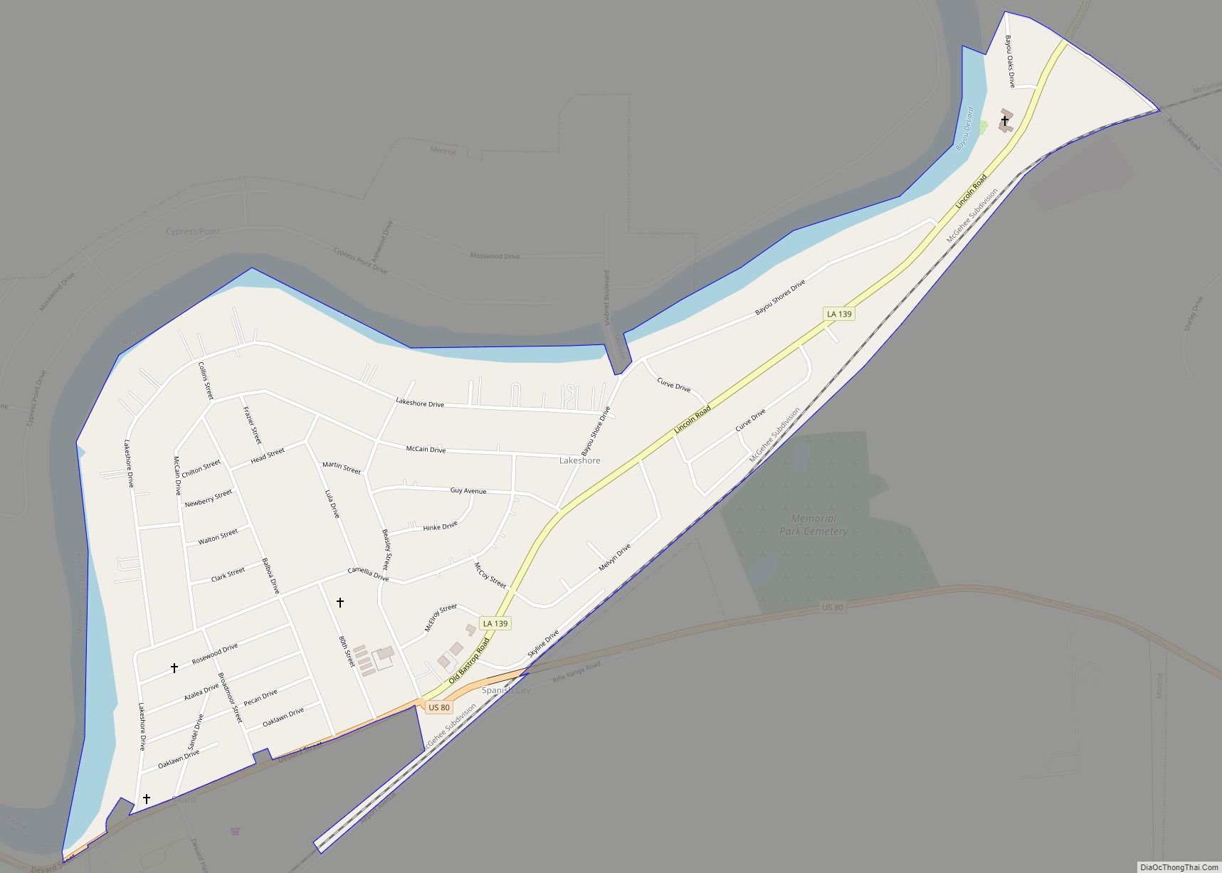
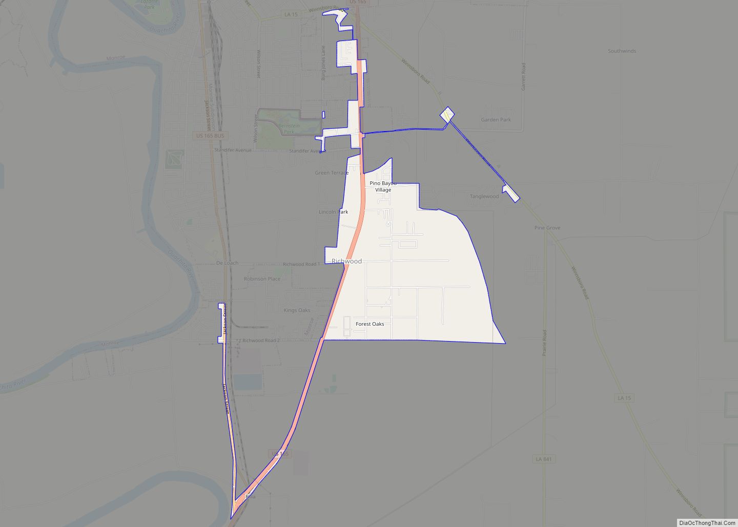
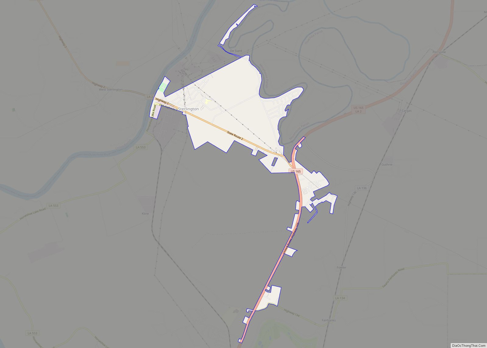
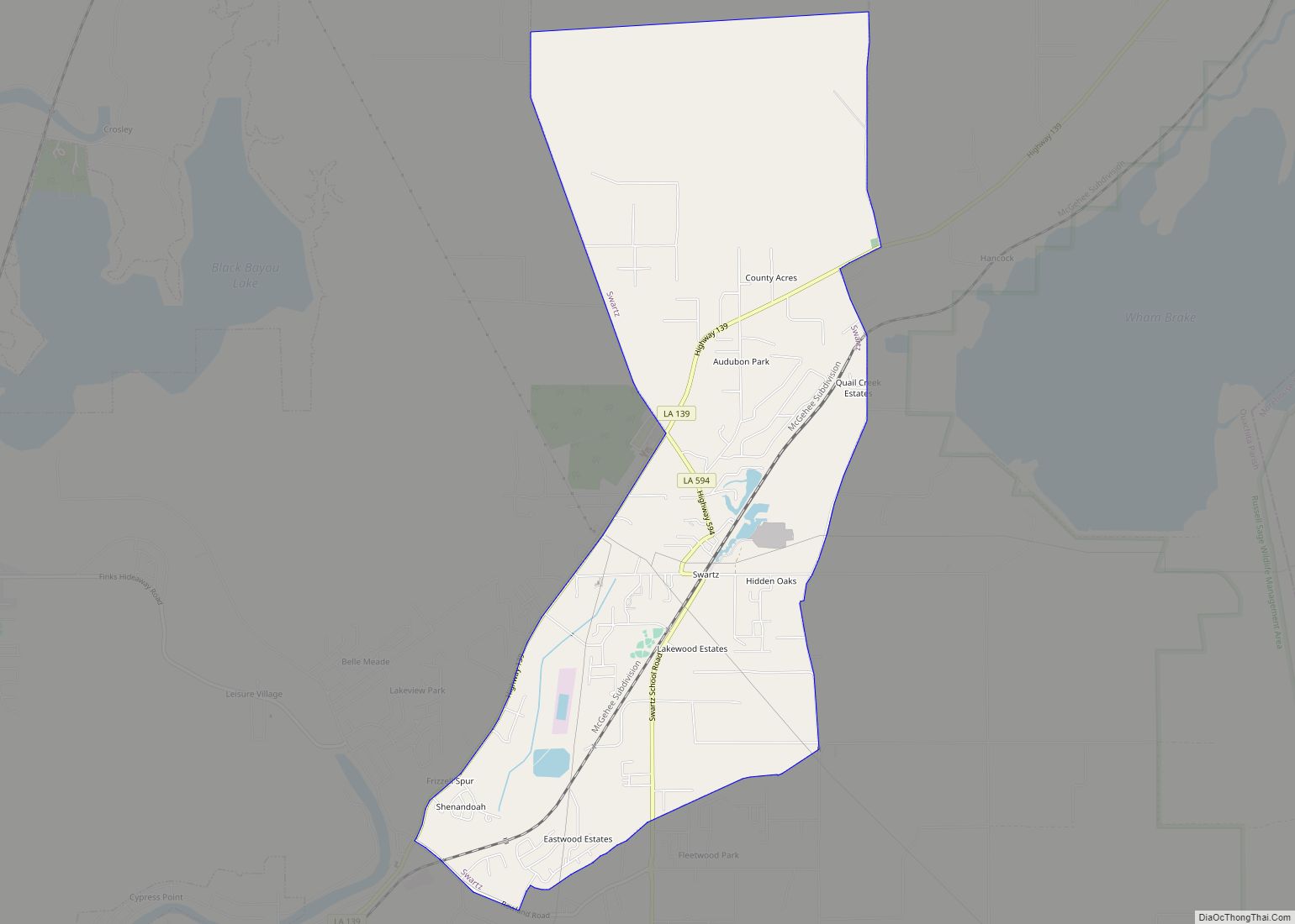
West Monroe Road Map
West Monroe city Satellite Map
Geography
According to the United States Census Bureau, the city has a total area of 8.0 square miles (20.6 km), of which 7.7 square miles (20.0 km) is land and 0.2 square mile (0.6 km) (3.14%) is water.
West Monroe is a separate municipality from Monroe.
See also
Map of Louisiana State and its subdivision:- Acadia
- Allen
- Ascension
- Assumption
- Avoyelles
- Beauregard
- Bienville
- Bossier
- Caddo
- Calcasieu
- Caldwell
- Cameron
- Catahoula
- Claiborne
- Concordia
- De Soto
- East Baton Rouge
- East Carroll
- East Feliciana
- Evangeline
- Franklin
- Grant
- Iberia
- Iberville
- Jackson
- Jefferson
- Jefferson Davis
- La Salle
- Lafayette
- Lafourche
- Lincoln
- Livingston
- Madison
- Morehouse
- Natchitoches
- Orleans
- Ouachita
- Plaquemines
- Pointe Coupee
- Rapides
- Red River
- Richland
- Sabine
- Saint Bernard
- Saint Charles
- Saint Helena
- Saint James
- Saint John the Baptist
- Saint Landry
- Saint Martin
- Saint Mary
- Saint Tammany
- Tangipahoa
- Tensas
- Terrebonne
- Union
- Vermilion
- Vernon
- Washington
- Webster
- West Baton Rouge
- West Carroll
- West Feliciana
- Winn
- Alabama
- Alaska
- Arizona
- Arkansas
- California
- Colorado
- Connecticut
- Delaware
- District of Columbia
- Florida
- Georgia
- Hawaii
- Idaho
- Illinois
- Indiana
- Iowa
- Kansas
- Kentucky
- Louisiana
- Maine
- Maryland
- Massachusetts
- Michigan
- Minnesota
- Mississippi
- Missouri
- Montana
- Nebraska
- Nevada
- New Hampshire
- New Jersey
- New Mexico
- New York
- North Carolina
- North Dakota
- Ohio
- Oklahoma
- Oregon
- Pennsylvania
- Rhode Island
- South Carolina
- South Dakota
- Tennessee
- Texas
- Utah
- Vermont
- Virginia
- Washington
- West Virginia
- Wisconsin
- Wyoming
