Broadus is a town in and the county seat of Powder River County, Montana, United States. The population was 456 at the 2020 census.
| Name: | Broadus town |
|---|---|
| LSAD Code: | 43 |
| LSAD Description: | town (suffix) |
| State: | Montana |
| County: | Powder River County |
| Elevation: | 3,028 ft (923 m) |
| Total Area: | 0.35 sq mi (0.91 km²) |
| Land Area: | 0.35 sq mi (0.91 km²) |
| Water Area: | 0.00 sq mi (0.00 km²) |
| Total Population: | 456 |
| Population Density: | 1,295.45/sq mi (500.25/km²) |
| ZIP code: | 59317 |
| Area code: | 406 |
| FIPS code: | 3009700 |
| GNISfeature ID: | 0769230 |
Online Interactive Map
Click on ![]() to view map in "full screen" mode.
to view map in "full screen" mode.
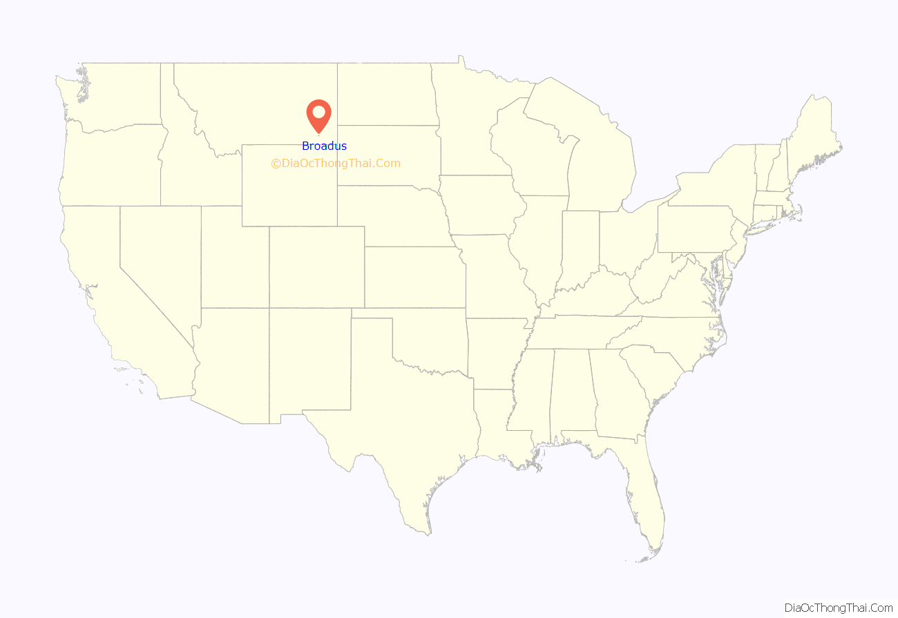
Broadus location map. Where is Broadus town?
History
American Indian Wars
The Powder River Battles, part of the Powder River Expedition of 1865, were fought near the present-day town from September 1–15, 1865, by the U.S. Army against Sioux, Cheyenne, and Arapaho warriors. On March 17, 1876, the Battle of Powder River occurred about 34 miles (55 km) southwest of present-day Broadus, and on June 13, 1876, six companies of the 7th Cavalry led by Major Marcus Reno marched along the Powder River to within 10 miles (16 km) north of the town’s present location before turning west toward the Little Bighorn.
Town
The Broadus post office was established in 1900, and named after the Broaddus family, early settlers in the area. When the town’s streets were being planned, they were made wide enough for a horse-drawn carriage to turn around. The original streets are still this wide today. In 1918 publication of the Broadus Independent began, and is still published today, although it is now called the Powder River Examiner.
In 1920, Broadus was chosen as the county seat of the newly established Powder River County. As an incentive for voters choosing Broadus, Margaret Trautman promised a donation of 80 acres from her ranch to the town.
When Belle Creek Oil Field opened in the late 1960s, the economy of Broadus boomed. Oil and gas production continue to be important to the local economy.
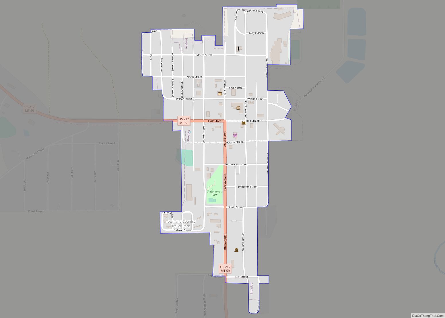
Broadus Road Map
Broadus city Satellite Map
Geography
Broadus is located at 45°26′34″N 105°24′33″W / 45.44278°N 105.40917°W / 45.44278; -105.40917 (45.442809, -105.409147).
According to the United States Census Bureau, the town has a total area of 0.35 square miles (0.91 km), all land.
Climate
According to the Köppen Climate Classification system, Broadus has a semi-arid climate, abbreviated “BSk” on climate maps.
Broadus has a cold semi-arid climate due to its very dry winters. There are significant diurnal temperature variations throughout the year, and strong continental seasonal swings between the warm to hot summers and the cold winters.
See also
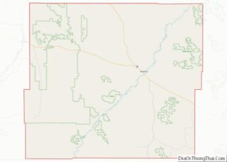
Map of Montana State and its subdivision:- Beaverhead
- Big Horn
- Blaine
- Broadwater
- Carbon
- Carter
- Cascade
- Chouteau
- Custer
- Daniels
- Dawson
- Deer Lodge
- Fallon
- Fergus
- Flathead
- Gallatin
- Garfield
- Glacier
- Golden Valley
- Granite
- Hill
- Jefferson
- Judith Basin
- Lake
- Lewis and Clark
- Liberty
- Lincoln
- Madison
- McCone
- Meagher
- Mineral
- Missoula
- Musselshell
- Park
- Petroleum
- Phillips
- Pondera
- Powder River
- Powell
- Prairie
- Ravalli
- Richland
- Roosevelt
- Rosebud
- Sanders
- Sheridan
- Silver Bow
- Stillwater
- Sweet Grass
- Teton
- Toole
- Treasure
- Valley
- Wheatland
- Wibaux
- Yellowstone
- Alabama
- Alaska
- Arizona
- Arkansas
- California
- Colorado
- Connecticut
- Delaware
- District of Columbia
- Florida
- Georgia
- Hawaii
- Idaho
- Illinois
- Indiana
- Iowa
- Kansas
- Kentucky
- Louisiana
- Maine
- Maryland
- Massachusetts
- Michigan
- Minnesota
- Mississippi
- Missouri
- Montana
- Nebraska
- Nevada
- New Hampshire
- New Jersey
- New Mexico
- New York
- North Carolina
- North Dakota
- Ohio
- Oklahoma
- Oregon
- Pennsylvania
- Rhode Island
- South Carolina
- South Dakota
- Tennessee
- Texas
- Utah
- Vermont
- Virginia
- Washington
- West Virginia
- Wisconsin
- Wyoming


