Conrad is a city in and the county seat of Pondera County, Montana, United States. The population was 2,318 at the 2020 census. Each June, the Whoop Up Days, a town wide celebration that includes a parade and rodeo, takes place in Conrad.
The town incorporated in 1908.
| Name: | Conrad city |
|---|---|
| LSAD Code: | 25 |
| LSAD Description: | city (suffix) |
| State: | Montana |
| County: | Pondera County |
| Elevation: | 3,517 ft (1,072 m) |
| Total Area: | 1.27 sq mi (3.29 km²) |
| Land Area: | 1.27 sq mi (3.29 km²) |
| Water Area: | 0.00 sq mi (0.00 km²) |
| Total Population: | 2,318 |
| Population Density: | 1,822.33/sq mi (703.70/km²) |
| ZIP code: | 59425 |
| Area code: | 406 |
| FIPS code: | 3017275 |
| GNISfeature ID: | 0806937 |
| Website: | http://cityofconrad.com/ |
Online Interactive Map
Click on ![]() to view map in "full screen" mode.
to view map in "full screen" mode.
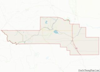
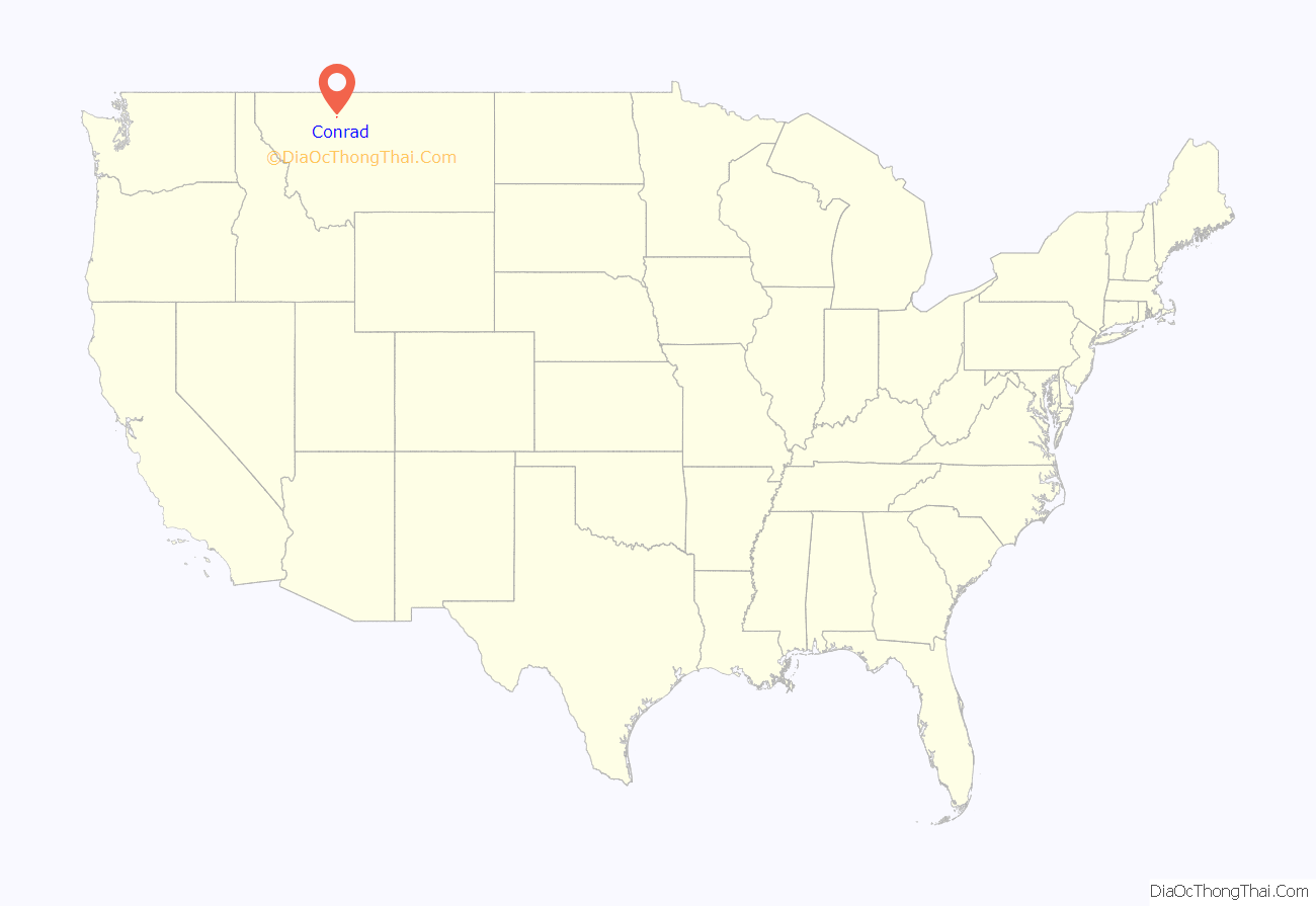
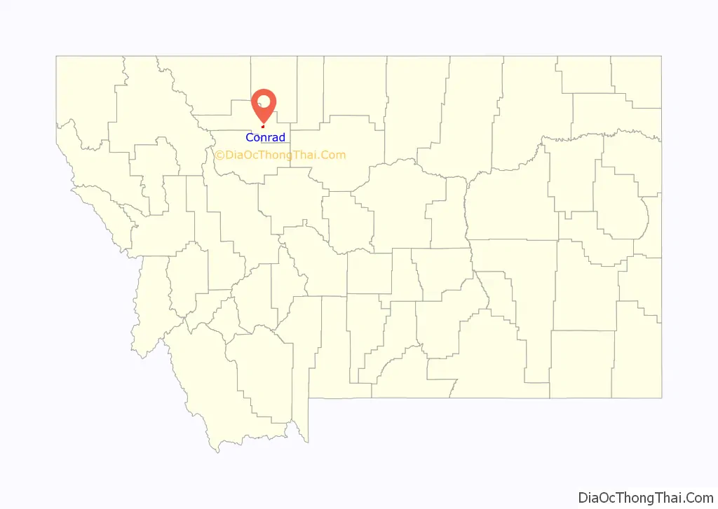
Conrad location map. Where is Conrad city?
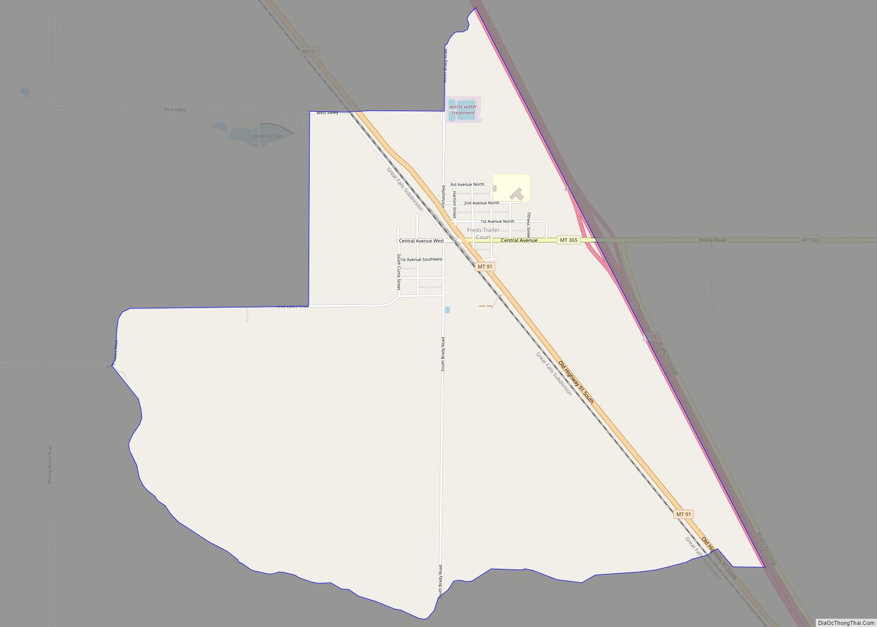
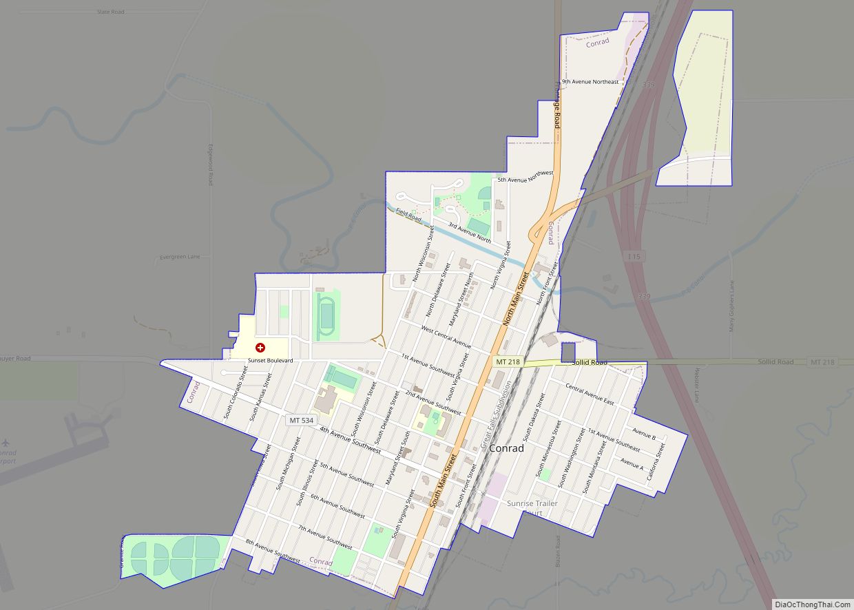
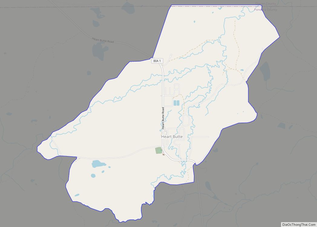
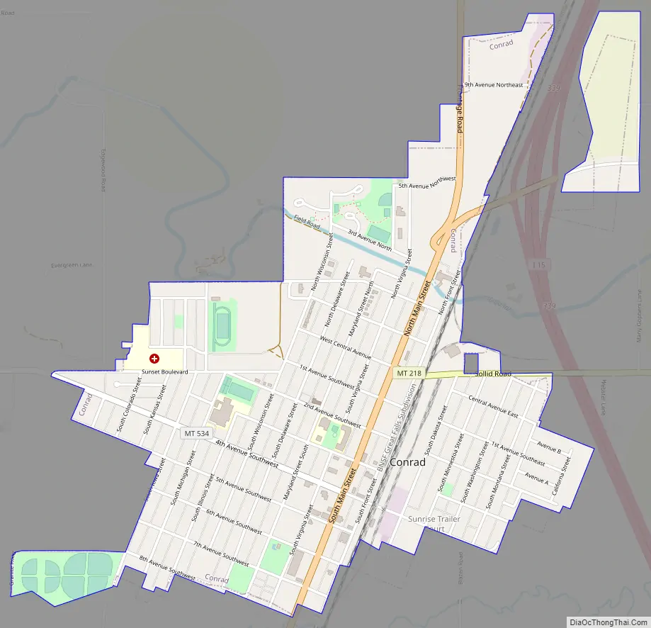
Conrad Road Map
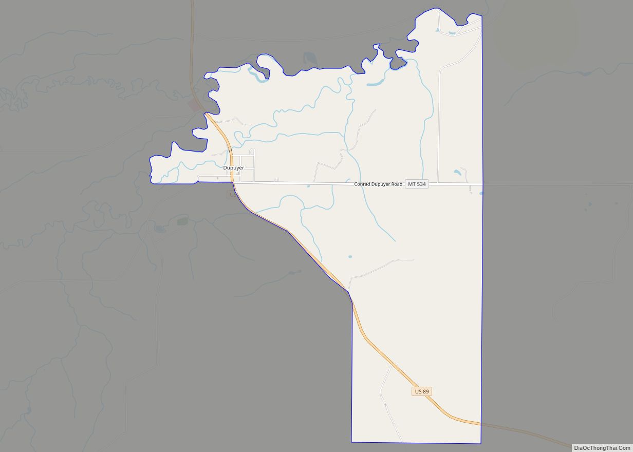
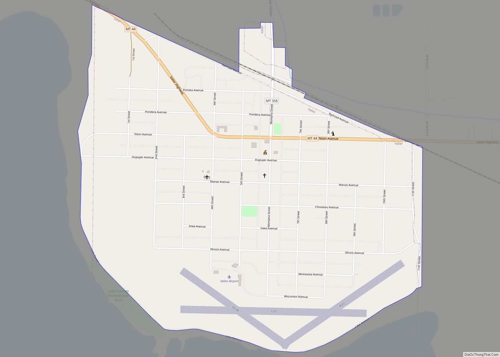
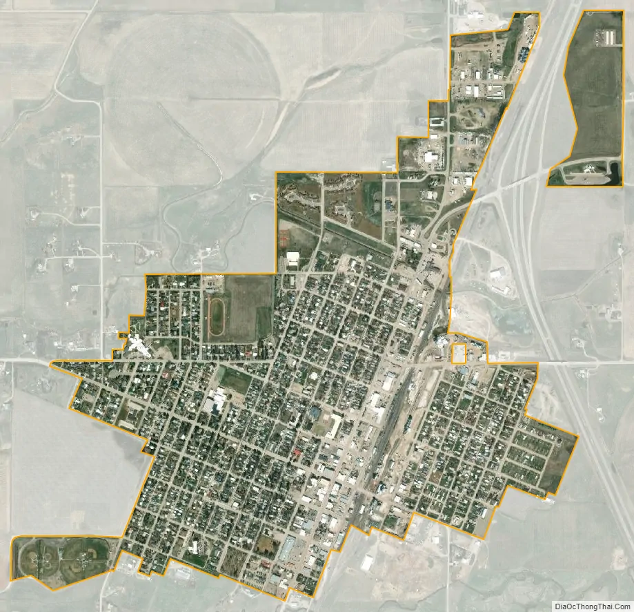
Conrad city Satellite Map
Geography
Conrad is located at 48°10′22″N 111°56′50″W / 48.172807°N 111.947131°W / 48.172807; -111.947131 (48.172807, -111.947131). Interstate 15 passes through the community, with access from Exits 335 and 339.
According to the United States Census Bureau, the city has a total area of 1.25 square miles (3.24 km), all land.
Conrad is located one hour from the Rocky Mountain front and within two hours of Glacier National Park.
See also
Map of Montana State and its subdivision:- Beaverhead
- Big Horn
- Blaine
- Broadwater
- Carbon
- Carter
- Cascade
- Chouteau
- Custer
- Daniels
- Dawson
- Deer Lodge
- Fallon
- Fergus
- Flathead
- Gallatin
- Garfield
- Glacier
- Golden Valley
- Granite
- Hill
- Jefferson
- Judith Basin
- Lake
- Lewis and Clark
- Liberty
- Lincoln
- Madison
- McCone
- Meagher
- Mineral
- Missoula
- Musselshell
- Park
- Petroleum
- Phillips
- Pondera
- Powder River
- Powell
- Prairie
- Ravalli
- Richland
- Roosevelt
- Rosebud
- Sanders
- Sheridan
- Silver Bow
- Stillwater
- Sweet Grass
- Teton
- Toole
- Treasure
- Valley
- Wheatland
- Wibaux
- Yellowstone
- Alabama
- Alaska
- Arizona
- Arkansas
- California
- Colorado
- Connecticut
- Delaware
- District of Columbia
- Florida
- Georgia
- Hawaii
- Idaho
- Illinois
- Indiana
- Iowa
- Kansas
- Kentucky
- Louisiana
- Maine
- Maryland
- Massachusetts
- Michigan
- Minnesota
- Mississippi
- Missouri
- Montana
- Nebraska
- Nevada
- New Hampshire
- New Jersey
- New Mexico
- New York
- North Carolina
- North Dakota
- Ohio
- Oklahoma
- Oregon
- Pennsylvania
- Rhode Island
- South Carolina
- South Dakota
- Tennessee
- Texas
- Utah
- Vermont
- Virginia
- Washington
- West Virginia
- Wisconsin
- Wyoming