Gallatin Gateway is a census-designated place (CDP) in Gallatin County, Montana, United States. As of the 2010 census it had a population of 856. Elevation is 4,953 ft (1,510 m).
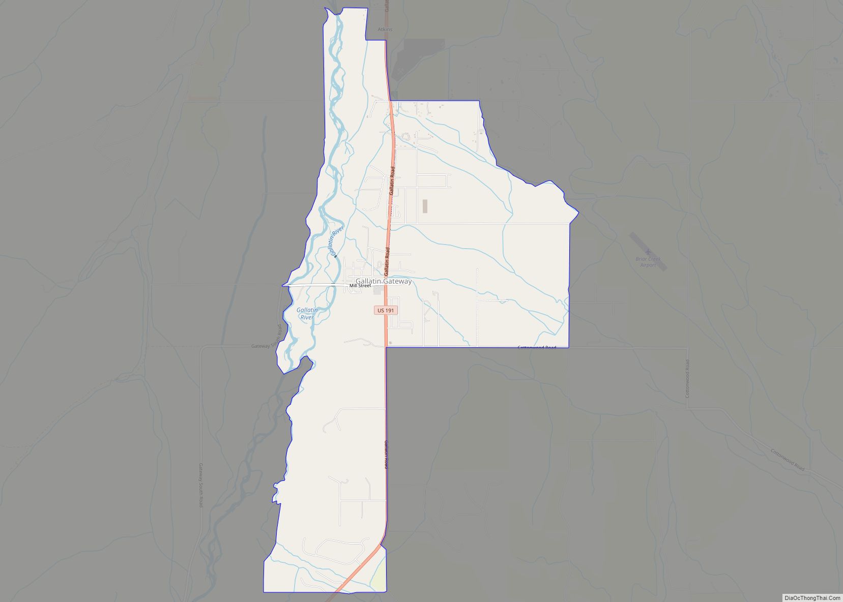
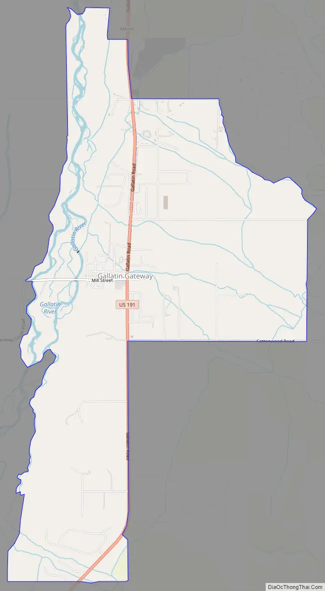
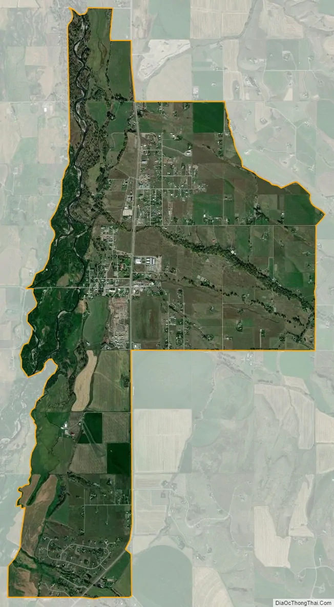
The community is located along U.S. Route 191 in the valley of the Gallatin River, a north-flowing tributary of the Missouri River. US 191 leads north, then east 13 miles (21 km) to Bozeman and south 28 miles (45 km) to Big Sky. According to the U.S. Census Bureau, the CDP has a total area of 5.9 square miles (15.4 km), of which 5.8 square miles (15.1 km) is land and 0.1 square miles (0.3 km), or 1.83%, is water.
| Name: | Gallatin Gateway CDP |
|---|---|
| LSAD Code: | 57 |
| LSAD Description: | CDP (suffix) |
| State: | Montana |
| County: | Gallatin County |
| Elevation: | 4,974 ft (1,516 m) |
| Total Area: | 5.95 sq mi (15.40 km²) |
| Land Area: | 5.85 sq mi (15.15 km²) |
| Water Area: | 0.10 sq mi (0.25 km²) |
| Total Population: | 967 |
| Population Density: | 165.33/sq mi (63.84/km²) |
| ZIP code: | 59730 |
| Area code: | 406 |
| FIPS code: | 3029875 |
| GNISfeature ID: | 2583809 |
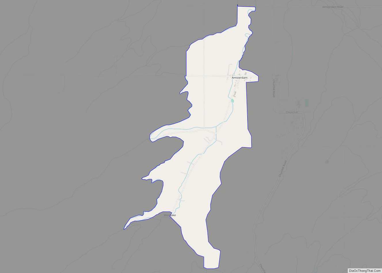
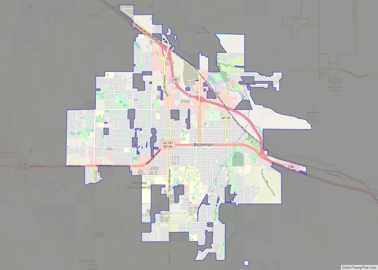
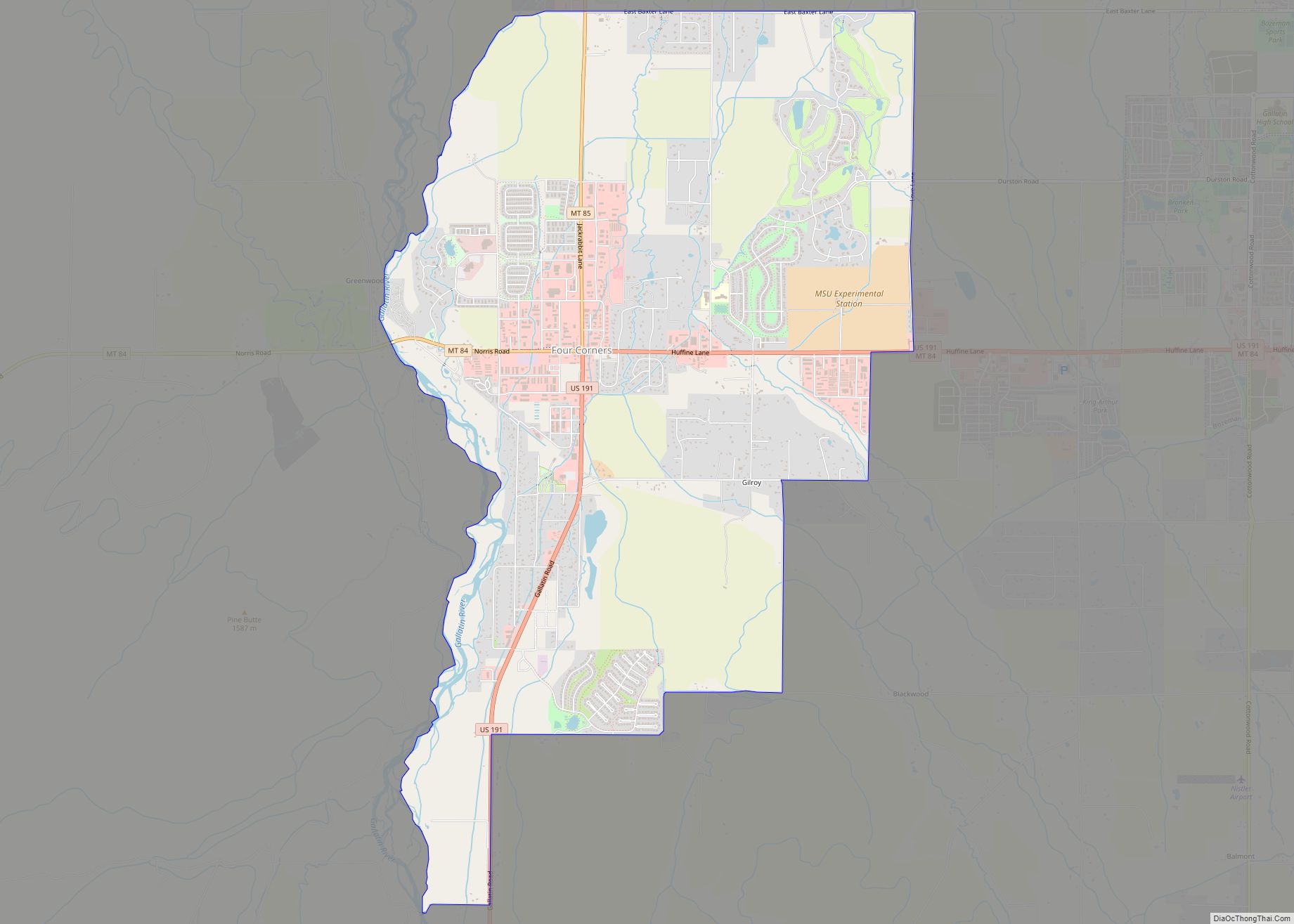
Online Interactive Map
Click on ![]() to view map in "full screen" mode.
to view map in "full screen" mode.
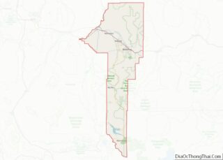
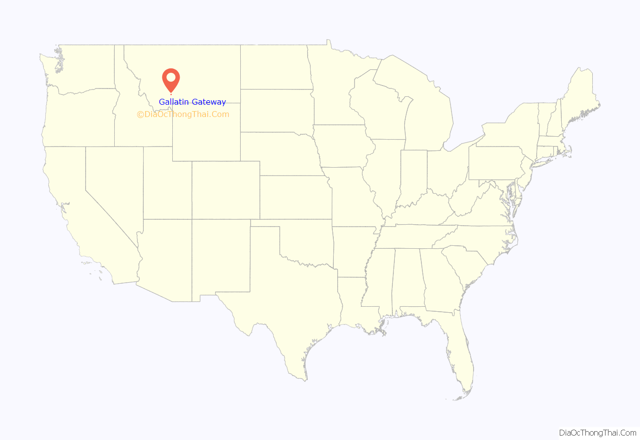
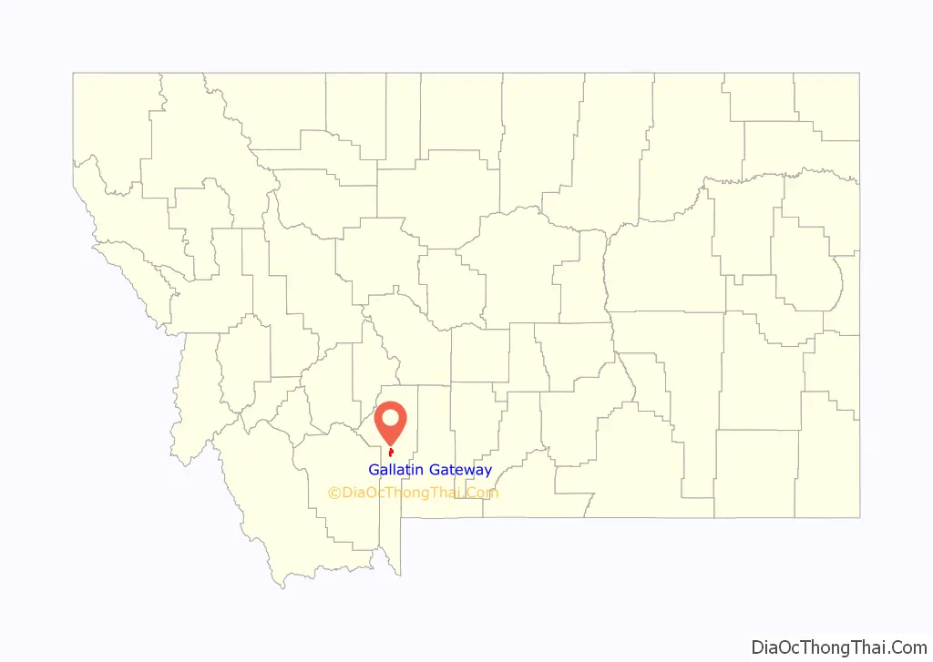
Gallatin Gateway location map. Where is Gallatin Gateway CDP?
History
Salesville was one of the pioneer towns, named for Z. Sales, who secured a saw mill started by J. J. Tomlinson, continuing the business on the West Gallatin river several years. With his family, he established the town on his property, the name of the town being changed in 1927 to Gallatin Gateway, by The Milwaukee Road, when the town became the terminus of the branch line from Three Forks, carrying passengers for the trip through Yellowstone National Park by way of Gallatin Canyon.
The passenger depot that was built at that time was established in the commodious Gallatin Gateway Inn built by the railroad. A good brick school house, some substantial business blocks and comfortable homes are found there. Opening June 17, 1927, The Gallatin Gateway Inn was touted as one of the most luxurious and beautiful hotels of the day. In 1980 the Inn received Historic Landmark designation after an extensive restoration effort (the Milwaukee Road left the Northwestern U.S. that year).
Gallatin Gateway Road Map
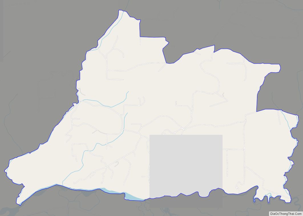
Gallatin Gateway city Satellite Map
See also
Map of Montana State and its subdivision:- Beaverhead
- Big Horn
- Blaine
- Broadwater
- Carbon
- Carter
- Cascade
- Chouteau
- Custer
- Daniels
- Dawson
- Deer Lodge
- Fallon
- Fergus
- Flathead
- Gallatin
- Garfield
- Glacier
- Golden Valley
- Granite
- Hill
- Jefferson
- Judith Basin
- Lake
- Lewis and Clark
- Liberty
- Lincoln
- Madison
- McCone
- Meagher
- Mineral
- Missoula
- Musselshell
- Park
- Petroleum
- Phillips
- Pondera
- Powder River
- Powell
- Prairie
- Ravalli
- Richland
- Roosevelt
- Rosebud
- Sanders
- Sheridan
- Silver Bow
- Stillwater
- Sweet Grass
- Teton
- Toole
- Treasure
- Valley
- Wheatland
- Wibaux
- Yellowstone
- Alabama
- Alaska
- Arizona
- Arkansas
- California
- Colorado
- Connecticut
- Delaware
- District of Columbia
- Florida
- Georgia
- Hawaii
- Idaho
- Illinois
- Indiana
- Iowa
- Kansas
- Kentucky
- Louisiana
- Maine
- Maryland
- Massachusetts
- Michigan
- Minnesota
- Mississippi
- Missouri
- Montana
- Nebraska
- Nevada
- New Hampshire
- New Jersey
- New Mexico
- New York
- North Carolina
- North Dakota
- Ohio
- Oklahoma
- Oregon
- Pennsylvania
- Rhode Island
- South Carolina
- South Dakota
- Tennessee
- Texas
- Utah
- Vermont
- Virginia
- Washington
- West Virginia
- Wisconsin
- Wyoming