Park City is a census-designated place (CDP) in Stillwater County, Montana, United States. The population was 870 at the 2000 census. Located 20 miles from the state’s largest city, Billings, Park City has a small town atmosphere. The largest building in the city is Park City Schools, a K-12 education system. The school’s mascot is the panther and school colors are red and black. It is not incorporated, therefore does not have a mayor or any other “city” legislative positions. Most of the historical buildings are made of sandstone, due to the large sandstone cliffs to the north of the town.
The town has a library, school, fire department, two gas stations/convenience stores, three churches of different denominations as well as two bars. The town serves as a bedroom community for the neighboring cities of Laurel and Billings. Most inhabitants are employed in either of those two towns. It is mainly a farming community, growing mostly sugar beets and corn.
A post office was opened under the name Young’s Point in 1878. In 1882 a group of settler’s arrived and named the area Park City.
| Name: | Park City CDP |
|---|---|
| LSAD Code: | 57 |
| LSAD Description: | CDP (suffix) |
| State: | Montana |
| County: | Stillwater County |
| Elevation: | 3,399 ft (1,036 m) |
| Total Area: | 1.57 sq mi (4.08 km²) |
| Land Area: | 1.57 sq mi (4.08 km²) |
| Water Area: | 0.00 sq mi (0.00 km²) |
| Total Population: | 1,023 |
| Population Density: | 649.94/sq mi (250.93/km²) |
| ZIP code: | 59063 |
| Area code: | 406 |
| FIPS code: | 3056575 |
| GNISfeature ID: | 0775081 |
Online Interactive Map
Click on ![]() to view map in "full screen" mode.
to view map in "full screen" mode.
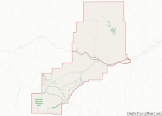
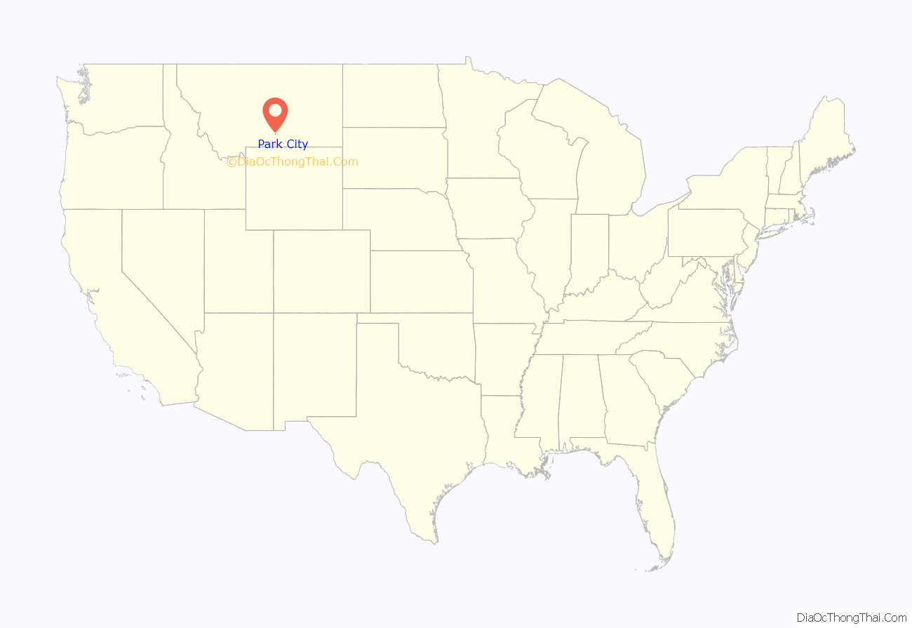
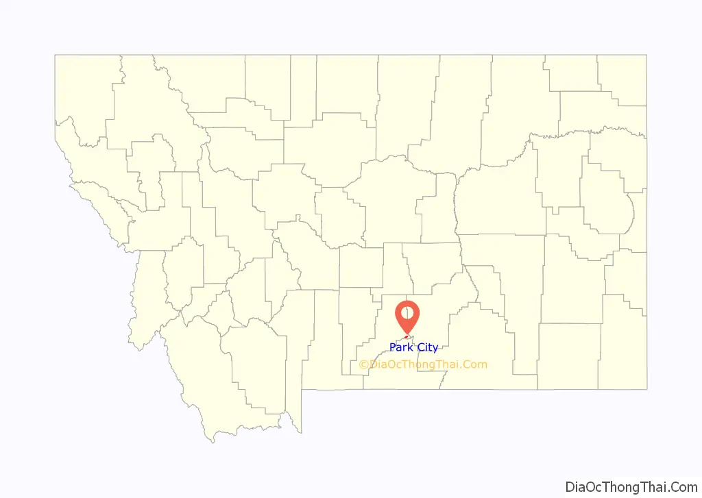
Park City location map. Where is Park City CDP?
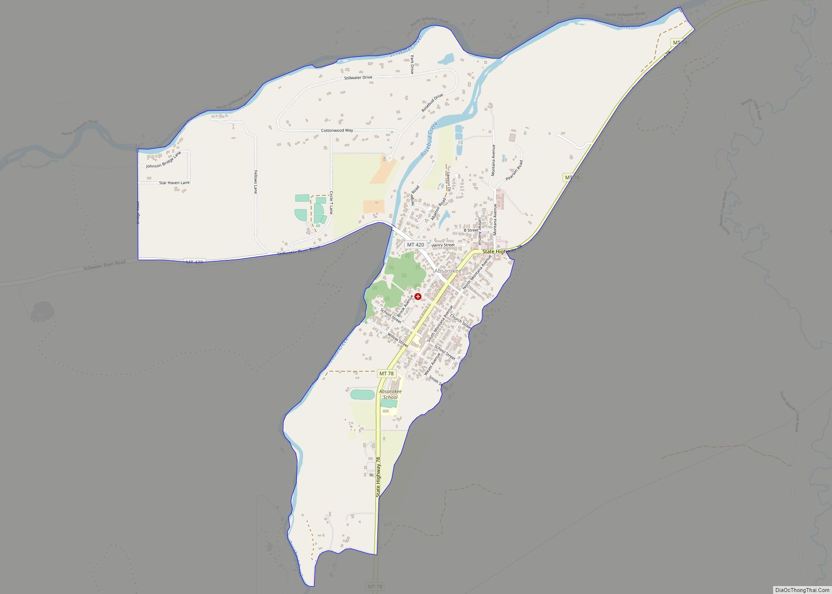
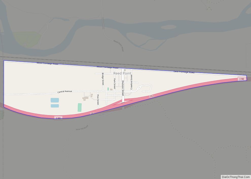
Park City Road Map
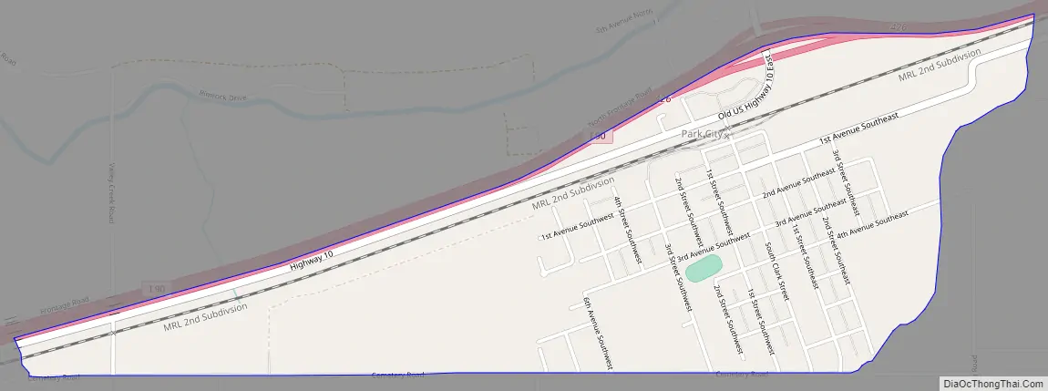
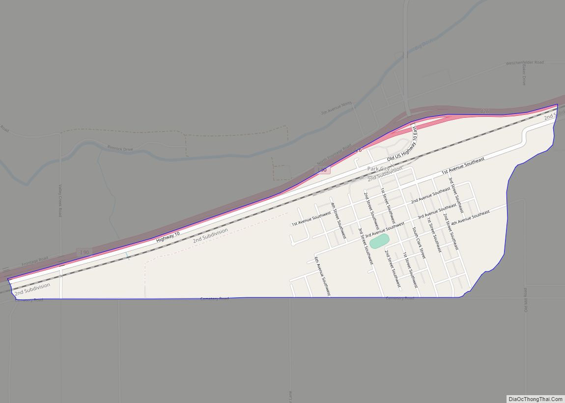
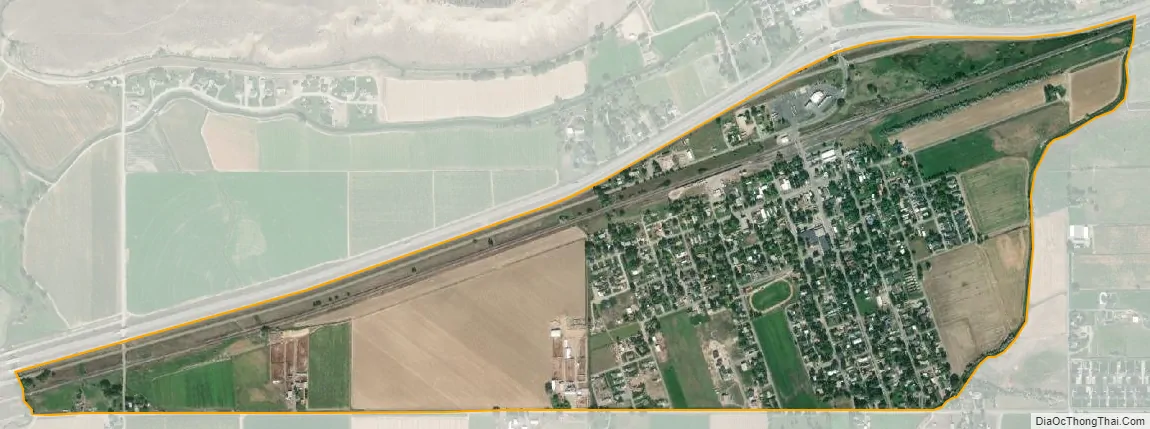
Park City city Satellite Map
Geography
Park City is located at 45°37′46″N 108°55′3″W / 45.62944°N 108.91750°W / 45.62944; -108.91750 (45.629523, -108.917418).
According to the United States Census Bureau, the CDP has a total area of 1.0 square mile (2.6 km), all land.
Climate
According to the Köppen Climate Classification system, Park City has a semi-arid climate, abbreviated “BSk” on climate maps.
See also
Map of Montana State and its subdivision:- Beaverhead
- Big Horn
- Blaine
- Broadwater
- Carbon
- Carter
- Cascade
- Chouteau
- Custer
- Daniels
- Dawson
- Deer Lodge
- Fallon
- Fergus
- Flathead
- Gallatin
- Garfield
- Glacier
- Golden Valley
- Granite
- Hill
- Jefferson
- Judith Basin
- Lake
- Lewis and Clark
- Liberty
- Lincoln
- Madison
- McCone
- Meagher
- Mineral
- Missoula
- Musselshell
- Park
- Petroleum
- Phillips
- Pondera
- Powder River
- Powell
- Prairie
- Ravalli
- Richland
- Roosevelt
- Rosebud
- Sanders
- Sheridan
- Silver Bow
- Stillwater
- Sweet Grass
- Teton
- Toole
- Treasure
- Valley
- Wheatland
- Wibaux
- Yellowstone
- Alabama
- Alaska
- Arizona
- Arkansas
- California
- Colorado
- Connecticut
- Delaware
- District of Columbia
- Florida
- Georgia
- Hawaii
- Idaho
- Illinois
- Indiana
- Iowa
- Kansas
- Kentucky
- Louisiana
- Maine
- Maryland
- Massachusetts
- Michigan
- Minnesota
- Mississippi
- Missouri
- Montana
- Nebraska
- Nevada
- New Hampshire
- New Jersey
- New Mexico
- New York
- North Carolina
- North Dakota
- Ohio
- Oklahoma
- Oregon
- Pennsylvania
- Rhode Island
- South Carolina
- South Dakota
- Tennessee
- Texas
- Utah
- Vermont
- Virginia
- Washington
- West Virginia
- Wisconsin
- Wyoming