Reed Point is a census-designated place (CDP) in Stillwater County, Montana, United States. The population was 185 at the 2000 census.
| Name: | Reed Point CDP |
|---|---|
| LSAD Code: | 57 |
| LSAD Description: | CDP (suffix) |
| State: | Montana |
| County: | Stillwater County |
| Elevation: | 3,747 ft (1,142 m) |
| Total Area: | 0.56 sq mi (1.44 km²) |
| Land Area: | 0.56 sq mi (1.44 km²) |
| Water Area: | 0.00 sq mi (0.00 km²) |
| Total Population: | 177 |
| Population Density: | 318.35/sq mi (123.01/km²) |
| ZIP code: | 59069 |
| Area code: | 406 |
| FIPS code: | 3061900 |
| GNISfeature ID: | 0801354 |
Online Interactive Map
Click on ![]() to view map in "full screen" mode.
to view map in "full screen" mode.
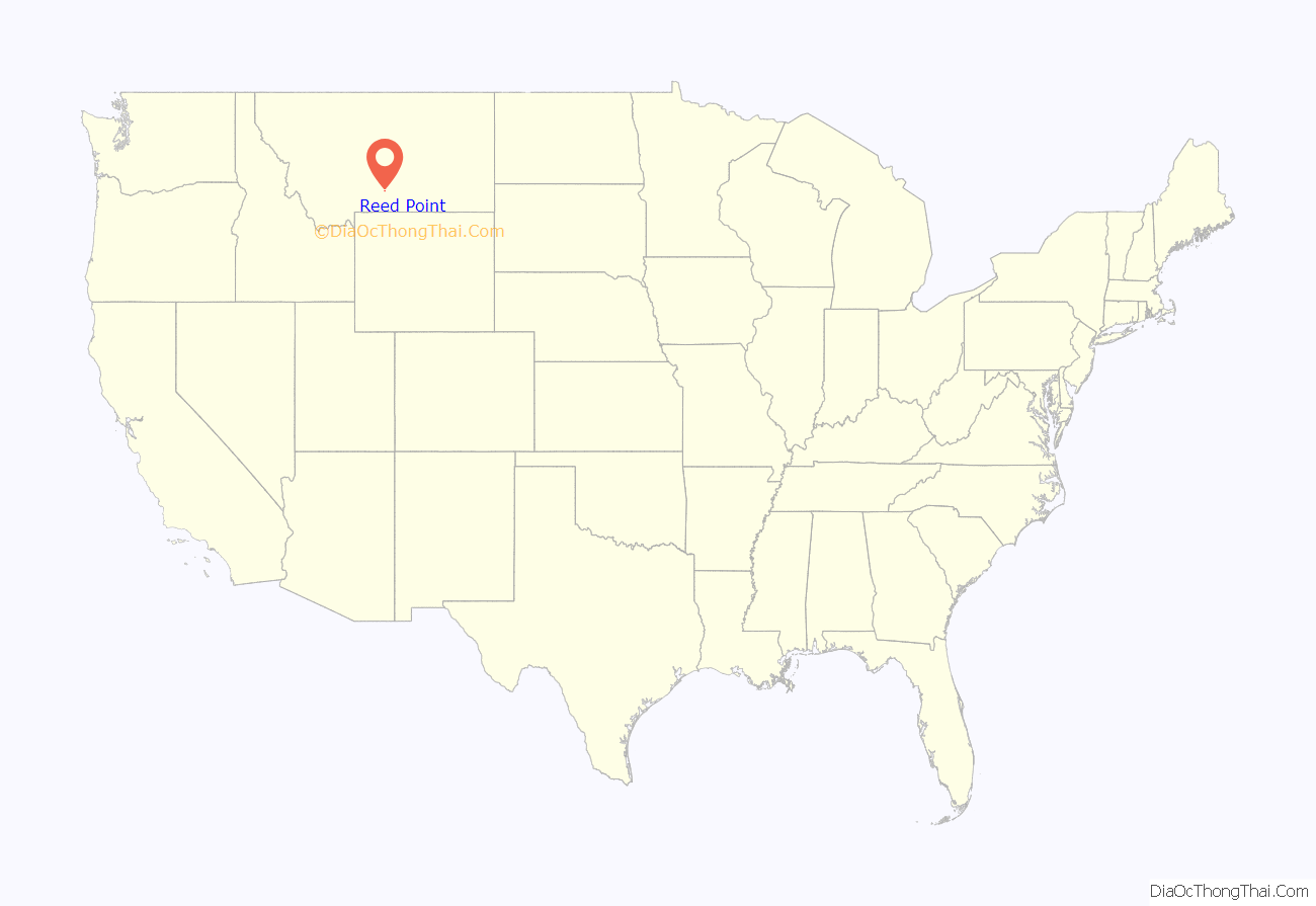
Reed Point location map. Where is Reed Point CDP?
History
Reed Point was named after Harry Reed, who ran a stage station together with his wife, Alice McCleary Reed for several years.
About 1876, attracted by the reports of the Black Hills stampede, the Reeds went overland with a covered wagon. After a short sojourn around Spearfish, SD, they joined an expedition going to the Big Horn and Yellowstone valley in the summer of 1877. The caravan was attacked while it was still in the Black Hills country by Native Americans, and several of its members were killed.
Their party was later joined by another party led by Dr. W.A. Allen. Their travels across the plains were marked by other encounters with Native Americans and by many hardships. The party reached the Yellowstone River about the time Chief Joseph and the Nez Perce tribe made their raid through this section and fought the Battle of Canyon Creek.
While Mr. Reed worked with a timber crew, Mrs. Reed worked at several ranches and stage stations along the Yellowstone river. About 1878, the Reed’s went to Coulson, MT where Mr. Reed was employed in carrying mail to Fort Custer. Mr. Reed narrowly escaped death by drowning in a freshet of Pryor Creek and his health was so impaired that he died several months later. The young and widowed Mrs. Reed made a living by washing clothes until she remarried in April, 1881, to John Schock, a Civil War veteran who was in charge of the McAdow Ferry at Coulson.
In 1901 the post office was established as Reed. The name of the post office changed to Reed Point in 1906. Bob Guthrie platted the townsite in 1911 and a new bridge spanned the Yellowstone River the same year.
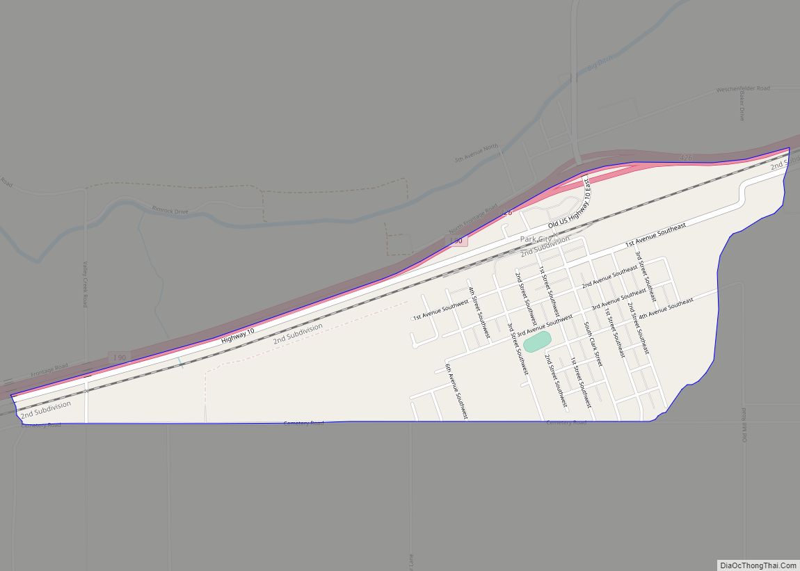
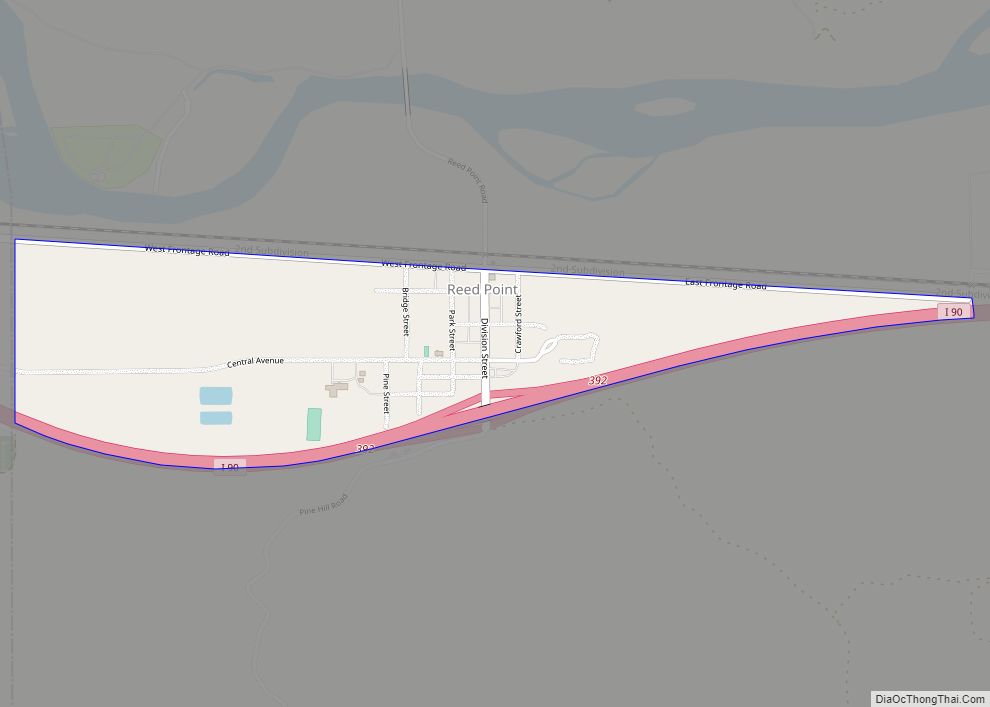
Reed Point Road Map
Reed Point city Satellite Map
Geography
Reed Point is located at 45°42′26″N 109°32′40″W / 45.70722°N 109.54444°W / 45.70722; -109.54444 (45.707165, -109.544546).
According to the United States Census Bureau, the CDP has a total area of 0.5 square miles (1.3 km), all land.
Climate
According to the Köppen Climate Classification system, Reed Point has a semi-arid climate, abbreviated “BSk” on climate maps.
See also
Map of Montana State and its subdivision:- Beaverhead
- Big Horn
- Blaine
- Broadwater
- Carbon
- Carter
- Cascade
- Chouteau
- Custer
- Daniels
- Dawson
- Deer Lodge
- Fallon
- Fergus
- Flathead
- Gallatin
- Garfield
- Glacier
- Golden Valley
- Granite
- Hill
- Jefferson
- Judith Basin
- Lake
- Lewis and Clark
- Liberty
- Lincoln
- Madison
- McCone
- Meagher
- Mineral
- Missoula
- Musselshell
- Park
- Petroleum
- Phillips
- Pondera
- Powder River
- Powell
- Prairie
- Ravalli
- Richland
- Roosevelt
- Rosebud
- Sanders
- Sheridan
- Silver Bow
- Stillwater
- Sweet Grass
- Teton
- Toole
- Treasure
- Valley
- Wheatland
- Wibaux
- Yellowstone
- Alabama
- Alaska
- Arizona
- Arkansas
- California
- Colorado
- Connecticut
- Delaware
- District of Columbia
- Florida
- Georgia
- Hawaii
- Idaho
- Illinois
- Indiana
- Iowa
- Kansas
- Kentucky
- Louisiana
- Maine
- Maryland
- Massachusetts
- Michigan
- Minnesota
- Mississippi
- Missouri
- Montana
- Nebraska
- Nevada
- New Hampshire
- New Jersey
- New Mexico
- New York
- North Carolina
- North Dakota
- Ohio
- Oklahoma
- Oregon
- Pennsylvania
- Rhode Island
- South Carolina
- South Dakota
- Tennessee
- Texas
- Utah
- Vermont
- Virginia
- Washington
- West Virginia
- Wisconsin
- Wyoming
