Ronan (Salish: ocqʔetkʷ) is a city in Lake County, Montana, United States. It lies on the Flathead Indian Reservation, approximately 12 miles south of Flathead Lake in the northwestern part of the state. The population was 1,955 at the 2020 census.
| Name: | Ronan city |
|---|---|
| LSAD Code: | 25 |
| LSAD Description: | city (suffix) |
| State: | Montana |
| County: | Lake County |
| Elevation: | 3,048 ft (929 m) |
| Total Area: | 1.23 sq mi (3.18 km²) |
| Land Area: | 1.23 sq mi (3.18 km²) |
| Water Area: | 0.00 sq mi (0.00 km²) |
| Total Population: | 1,955 |
| Population Density: | 1,590.72/sq mi (614.17/km²) |
| ZIP code: | 59864 |
| Area code: | 406 |
| FIPS code: | 3064150 |
| GNISfeature ID: | 0775919 |
| Website: | cityofronan.org |
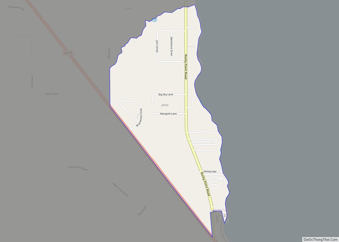
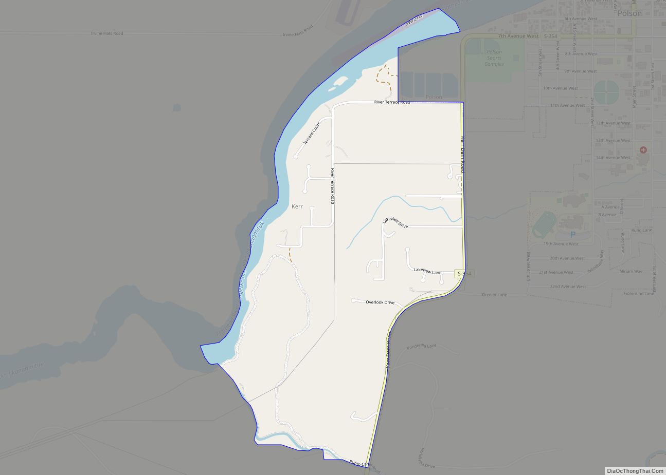
Online Interactive Map
Click on ![]() to view map in "full screen" mode.
to view map in "full screen" mode.
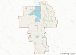
Ronan location map. Where is Ronan city?


History
Originally called Spring Creek, Ronan’s name was changed in 1893 in honor of Major Peter Ronan, superintendent of the Flathead Indian Reservation.
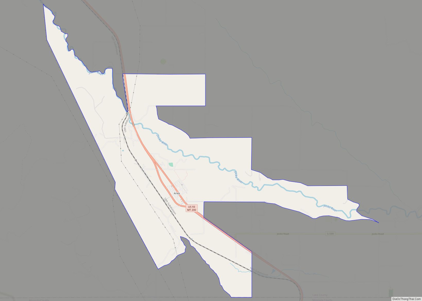
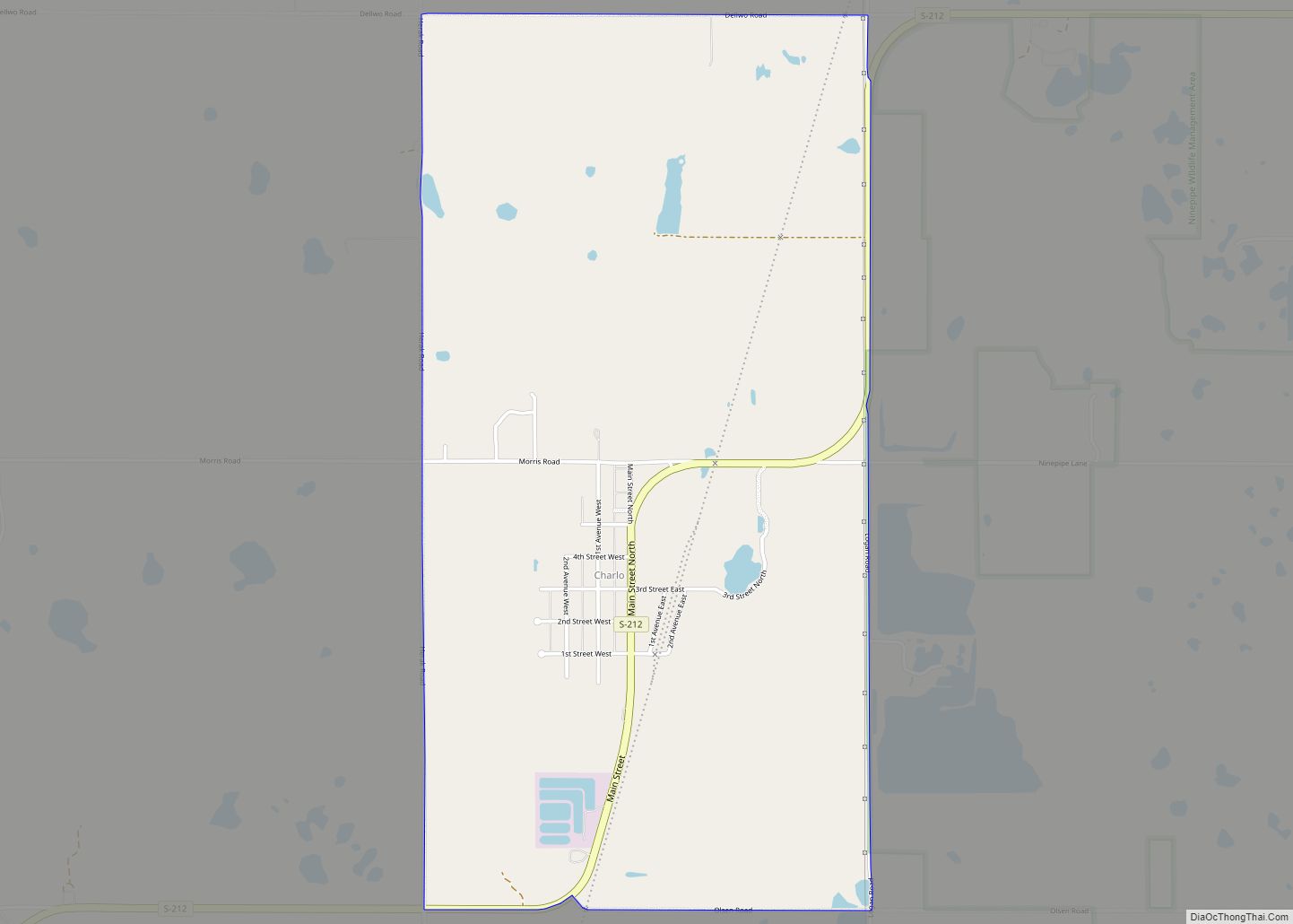
Ronan Road Map

Ronan city Satellite Map

Geography
Ronan is located at 47°32′N 114°6′W / 47.533°N 114.100°W / 47.533; -114.100 (47.528, −114.100). Ninepipe National Wildlife Refuge is about 5 miles to the south.
According to the United States Census Bureau, the city has a total area of 1.19 square miles (3.08 km), all land.
Climate
This climatic region is typified by large seasonal temperature differences, with warm to hot (and often Arid) summers and cold (sometimes severely cold) winters. According to the Köppen Climate Classification system, Ronan has a humid continental climate, abbreviated “DFB” on climate maps.
See also
Map of Montana State and its subdivision:- Beaverhead
- Big Horn
- Blaine
- Broadwater
- Carbon
- Carter
- Cascade
- Chouteau
- Custer
- Daniels
- Dawson
- Deer Lodge
- Fallon
- Fergus
- Flathead
- Gallatin
- Garfield
- Glacier
- Golden Valley
- Granite
- Hill
- Jefferson
- Judith Basin
- Lake
- Lewis and Clark
- Liberty
- Lincoln
- Madison
- McCone
- Meagher
- Mineral
- Missoula
- Musselshell
- Park
- Petroleum
- Phillips
- Pondera
- Powder River
- Powell
- Prairie
- Ravalli
- Richland
- Roosevelt
- Rosebud
- Sanders
- Sheridan
- Silver Bow
- Stillwater
- Sweet Grass
- Teton
- Toole
- Treasure
- Valley
- Wheatland
- Wibaux
- Yellowstone
- Alabama
- Alaska
- Arizona
- Arkansas
- California
- Colorado
- Connecticut
- Delaware
- District of Columbia
- Florida
- Georgia
- Hawaii
- Idaho
- Illinois
- Indiana
- Iowa
- Kansas
- Kentucky
- Louisiana
- Maine
- Maryland
- Massachusetts
- Michigan
- Minnesota
- Mississippi
- Missouri
- Montana
- Nebraska
- Nevada
- New Hampshire
- New Jersey
- New Mexico
- New York
- North Carolina
- North Dakota
- Ohio
- Oklahoma
- Oregon
- Pennsylvania
- Rhode Island
- South Carolina
- South Dakota
- Tennessee
- Texas
- Utah
- Vermont
- Virginia
- Washington
- West Virginia
- Wisconsin
- Wyoming