Westby is a town in Sheridan County, Montana, United States. The population was 167 at the 2020 census.
| Name: | Westby town |
|---|---|
| LSAD Code: | 43 |
| LSAD Description: | town (suffix) |
| State: | Montana |
| County: | Sheridan County |
| Elevation: | 2,103 ft (641 m) |
| Total Area: | 0.57 sq mi (1.48 km²) |
| Land Area: | 0.56 sq mi (1.46 km²) |
| Water Area: | 0.01 sq mi (0.02 km²) |
| Total Population: | 167 |
| Population Density: | 297.15/sq mi (114.76/km²) |
| ZIP code: | 59275 |
| Area code: | 406 |
| FIPS code: | 3078925 |
| GNISfeature ID: | 0778319 |
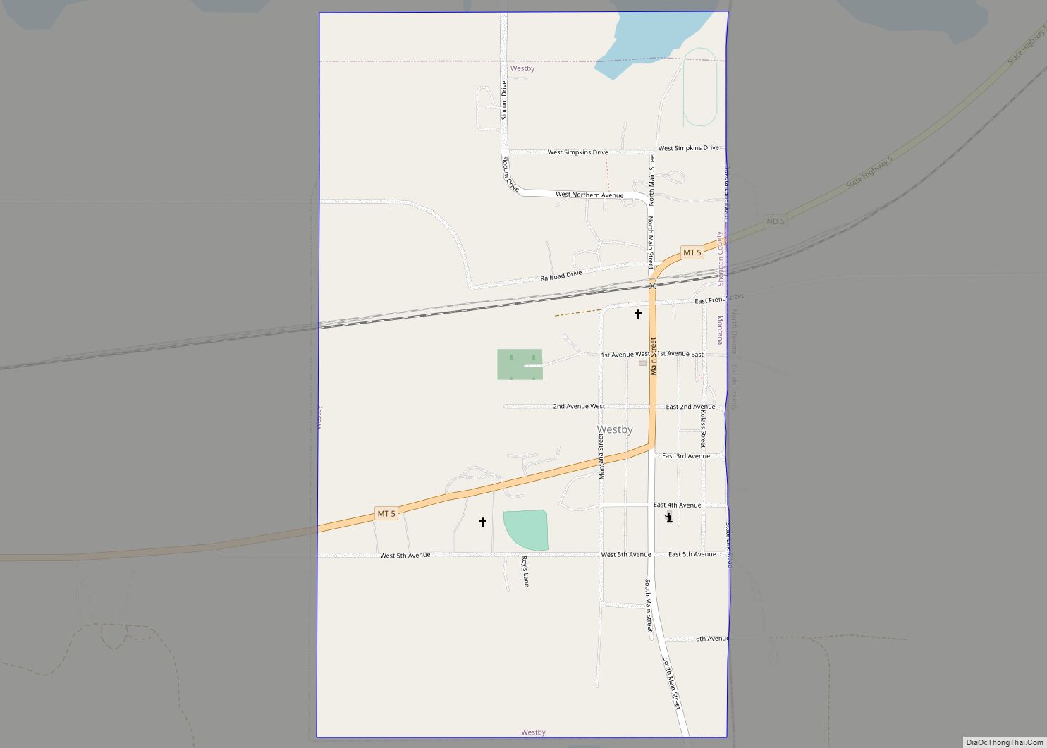
Online Interactive Map
Click on ![]() to view map in "full screen" mode.
to view map in "full screen" mode.
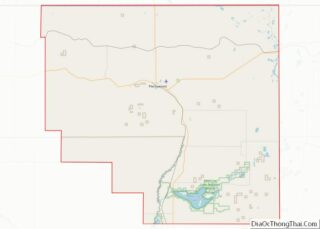
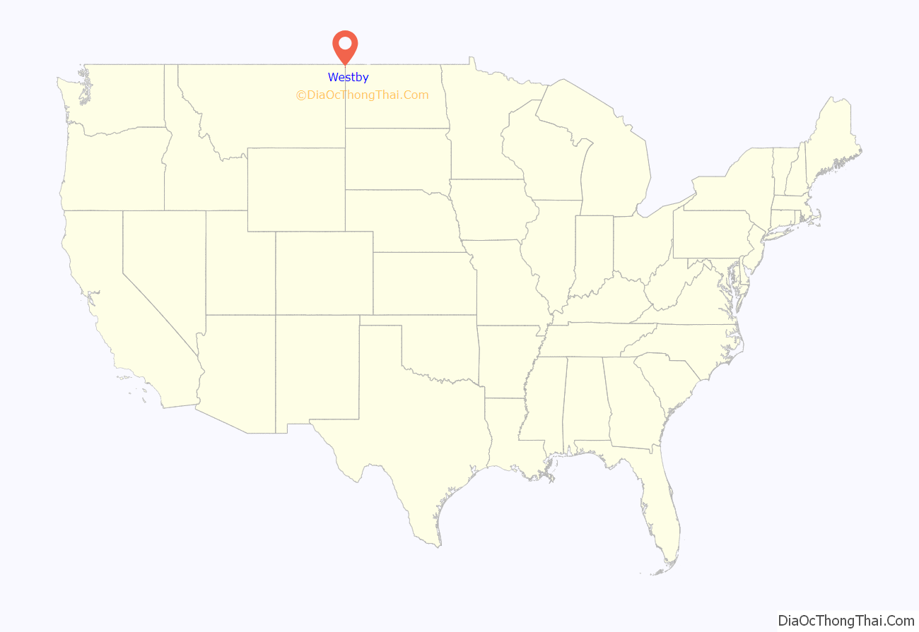
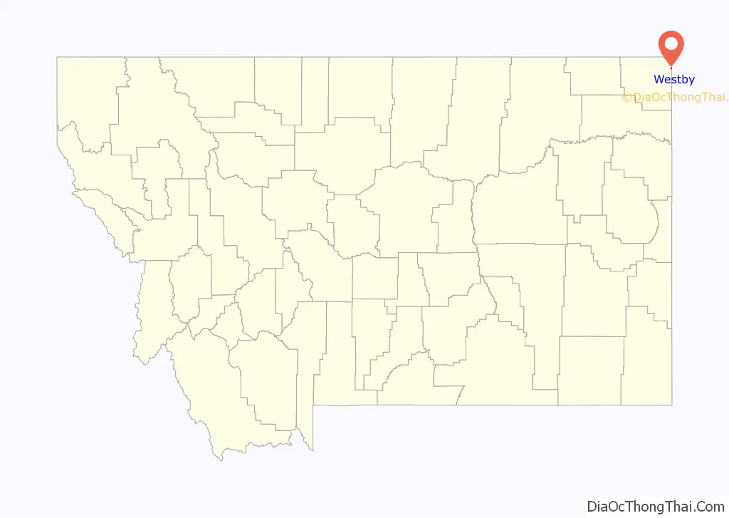
Westby location map. Where is Westby town?
History
Westby was founded in 1910 as a town in what was then Williams County, North Dakota (now in Divide County). Danish settlers came up with the name by combining the word west, which noted the town’s location in extreme western North Dakota, with the word by, Danish for town. The town remained in North Dakota until 1914, when it was moved slightly across the border so as to be next to a newly built branch line of the Soo Line Railroad and in a state that permitted the sale of alcohol.
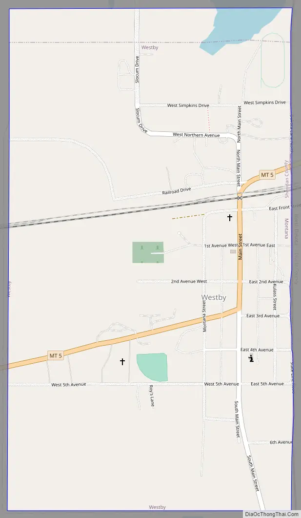
Westby Road Map
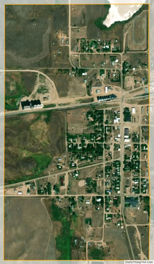
Westby city Satellite Map
Geography
Westby is located at 48°52′11″N 104°3′7″W / 48.86972°N 104.05194°W / 48.86972; -104.05194 (48.869847, -104.051950).
According to the United States Census Bureau, the town has a total area of 0.54 square miles (1.40 km), all land.
Westby is located on the state border with North Dakota, and near the international boundary with Saskatchewan. Montana Highway 5 passes through the town.
Climate
According to the Köppen Climate Classification system, Westby has a humid continental climate, abbreviated “DFb” on climate maps.
See also
Map of Montana State and its subdivision:- Beaverhead
- Big Horn
- Blaine
- Broadwater
- Carbon
- Carter
- Cascade
- Chouteau
- Custer
- Daniels
- Dawson
- Deer Lodge
- Fallon
- Fergus
- Flathead
- Gallatin
- Garfield
- Glacier
- Golden Valley
- Granite
- Hill
- Jefferson
- Judith Basin
- Lake
- Lewis and Clark
- Liberty
- Lincoln
- Madison
- McCone
- Meagher
- Mineral
- Missoula
- Musselshell
- Park
- Petroleum
- Phillips
- Pondera
- Powder River
- Powell
- Prairie
- Ravalli
- Richland
- Roosevelt
- Rosebud
- Sanders
- Sheridan
- Silver Bow
- Stillwater
- Sweet Grass
- Teton
- Toole
- Treasure
- Valley
- Wheatland
- Wibaux
- Yellowstone
- Alabama
- Alaska
- Arizona
- Arkansas
- California
- Colorado
- Connecticut
- Delaware
- District of Columbia
- Florida
- Georgia
- Hawaii
- Idaho
- Illinois
- Indiana
- Iowa
- Kansas
- Kentucky
- Louisiana
- Maine
- Maryland
- Massachusetts
- Michigan
- Minnesota
- Mississippi
- Missouri
- Montana
- Nebraska
- Nevada
- New Hampshire
- New Jersey
- New Mexico
- New York
- North Carolina
- North Dakota
- Ohio
- Oklahoma
- Oregon
- Pennsylvania
- Rhode Island
- South Carolina
- South Dakota
- Tennessee
- Texas
- Utah
- Vermont
- Virginia
- Washington
- West Virginia
- Wisconsin
- Wyoming