Hewlett Harbor is a village in Nassau County, on Long Island, in New York, United States. The population was 1,263 as of the 2010 census.
The Village of Hewlett Harbor is located within the Town of Hempstead. This area, like Back/Old Lawrence is unique because its rural affluence is similar in character to the more well-known Gold Coast of the North Shore instead of being more urbanized like the rest of the South Shore of Nassau County.
| Name: | Hewlett Harbor village |
|---|---|
| LSAD Code: | 47 |
| LSAD Description: | village (suffix) |
| State: | New York |
| County: | Nassau County |
| Incorporated: | 1925 |
| Elevation: | 10 ft (3 m) |
| Total Area: | 0.83 sq mi (2.15 km²) |
| Land Area: | 0.72 sq mi (1.88 km²) |
| Water Area: | 0.10 sq mi (0.27 km²) |
| Total Population: | 1,290 |
| Population Density: | 1,779.31/sq mi (687.19/km²) |
| ZIP code: | 11557 |
| Area code: | 516 |
| FIPS code: | 3634308 |
| GNISfeature ID: | 0970203 |
| Website: | www.hewlettharbor.org |
Online Interactive Map
Click on ![]() to view map in "full screen" mode.
to view map in "full screen" mode.
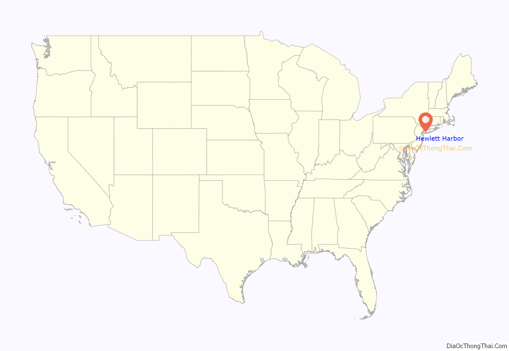
Hewlett Harbor location map. Where is Hewlett Harbor village?

History
Prominent attorney Joseph Auerbach (for whom Auerbach Avenue is named) purchased large amounts of land in what would eventually become Hewlett Harbor in 1914. Auerbach, on this land, soon erected a summer home, in addition to what would become the Seawane Country Club.
Following Auerbach’s sale of the country club in the 1920s, the new owners had large amounts of the club’s excess land developed, with the land being subdivided and zoned for single-family residential homes.
In 1925, Hewlett Harbor incorporated as a village.
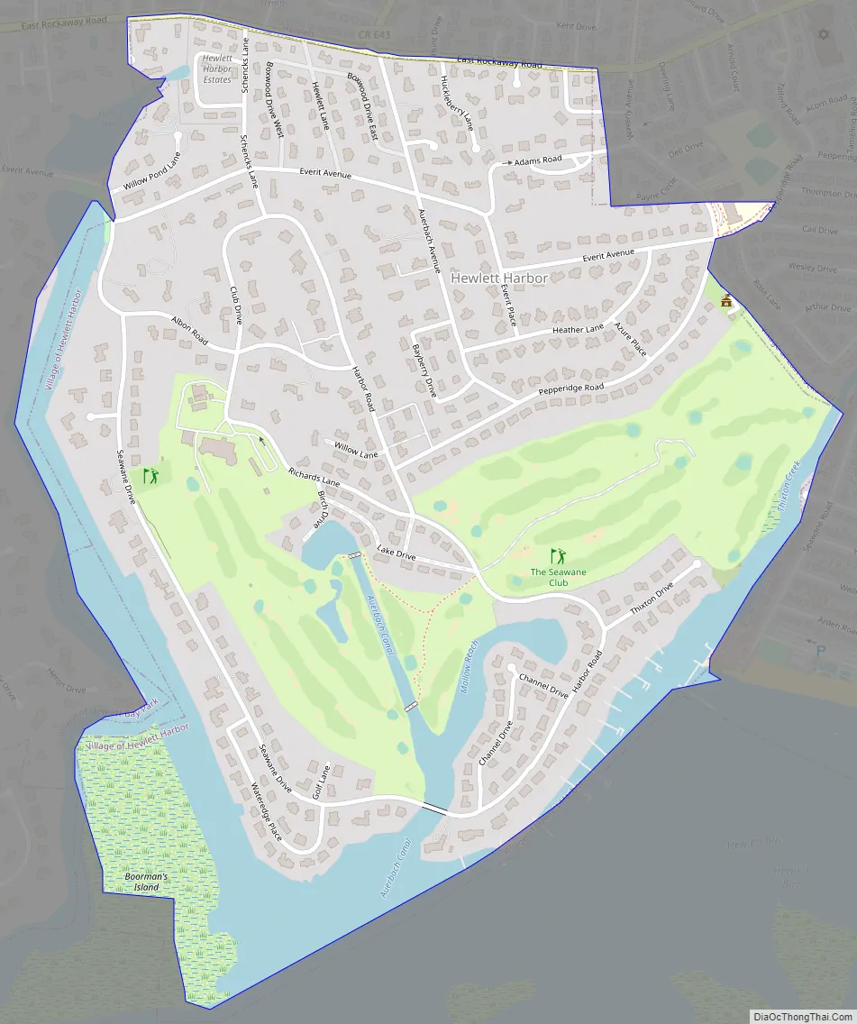
Hewlett Harbor Road Map
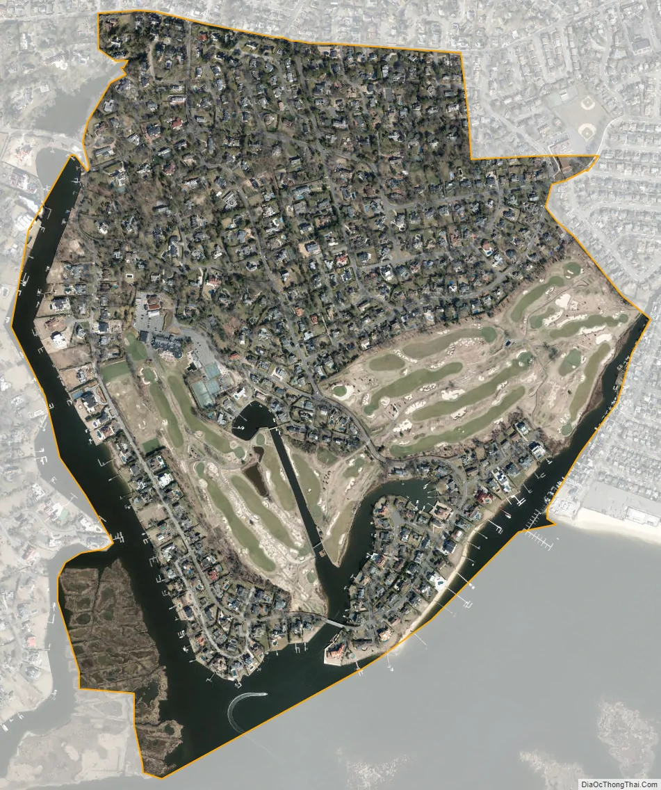
Hewlett Harbor city Satellite Map
Geography
According to the United States Census Bureau, the village has a total area of 0.8 square miles (2.1 km), of which 0.7 square miles (1.8 km) is land and 0.1 square miles (0.26 km), or 10.98%, is water.
See also
Map of New York State and its subdivision:- Albany
- Allegany
- Bronx
- Broome
- Cattaraugus
- Cayuga
- Chautauqua
- Chemung
- Chenango
- Clinton
- Columbia
- Cortland
- Delaware
- Dutchess
- Erie
- Essex
- Franklin
- Fulton
- Genesee
- Greene
- Hamilton
- Herkimer
- Jefferson
- Kings
- Lake Ontario
- Lewis
- Livingston
- Madison
- Monroe
- Montgomery
- Nassau
- New York
- Niagara
- Oneida
- Onondaga
- Ontario
- Orange
- Orleans
- Oswego
- Otsego
- Putnam
- Queens
- Rensselaer
- Richmond
- Rockland
- Saint Lawrence
- Saratoga
- Schenectady
- Schoharie
- Schuyler
- Seneca
- Steuben
- Suffolk
- Sullivan
- Tioga
- Tompkins
- Ulster
- Warren
- Washington
- Wayne
- Westchester
- Wyoming
- Yates
- Alabama
- Alaska
- Arizona
- Arkansas
- California
- Colorado
- Connecticut
- Delaware
- District of Columbia
- Florida
- Georgia
- Hawaii
- Idaho
- Illinois
- Indiana
- Iowa
- Kansas
- Kentucky
- Louisiana
- Maine
- Maryland
- Massachusetts
- Michigan
- Minnesota
- Mississippi
- Missouri
- Montana
- Nebraska
- Nevada
- New Hampshire
- New Jersey
- New Mexico
- New York
- North Carolina
- North Dakota
- Ohio
- Oklahoma
- Oregon
- Pennsylvania
- Rhode Island
- South Carolina
- South Dakota
- Tennessee
- Texas
- Utah
- Vermont
- Virginia
- Washington
- West Virginia
- Wisconsin
- Wyoming


