Lawrence is a village in Nassau County, New York, United States. As of the 2010 United States Census, the village population was 6,483.
The Village of Lawrence is in the southwestern corner of the Town of Hempstead, adjoining the border with the New York City borough of Queens to the west and near the Atlantic Ocean to the south. Lawrence is one of the “Five Towns”, which consists of the villages of Lawrence and Cedarhurst, the hamlets (unincorporated areas) of Woodmere and Inwood, and “The Hewletts”, which is made up of the hamlet of Hewlett together with the villages of Hewlett Bay Park, Hewlett Harbor and Hewlett Neck, along with Woodsburgh.
| Name: | Lawrence village |
|---|---|
| LSAD Code: | 47 |
| LSAD Description: | village (suffix) |
| State: | New York |
| County: | Nassau County |
| Incorporated: | 1897 |
| Elevation: | 20 ft (6 m) |
| Total Area: | 4.64 sq mi (12.01 km²) |
| Land Area: | 3.72 sq mi (9.63 km²) |
| Water Area: | 0.92 sq mi (2.39 km²) |
| Total Population: | 6,809 |
| Population Density: | 1,831.36/sq mi (707.17/km²) |
| ZIP code: | 11559 |
| Area code: | 516 |
| FIPS code: | 3641553 |
| GNISfeature ID: | 0955101 |
| Website: | www.villageoflawrence.org |
Online Interactive Map
Click on ![]() to view map in "full screen" mode.
to view map in "full screen" mode.
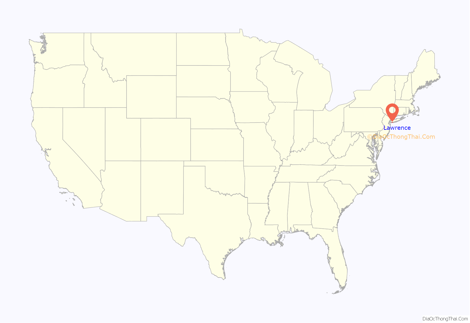
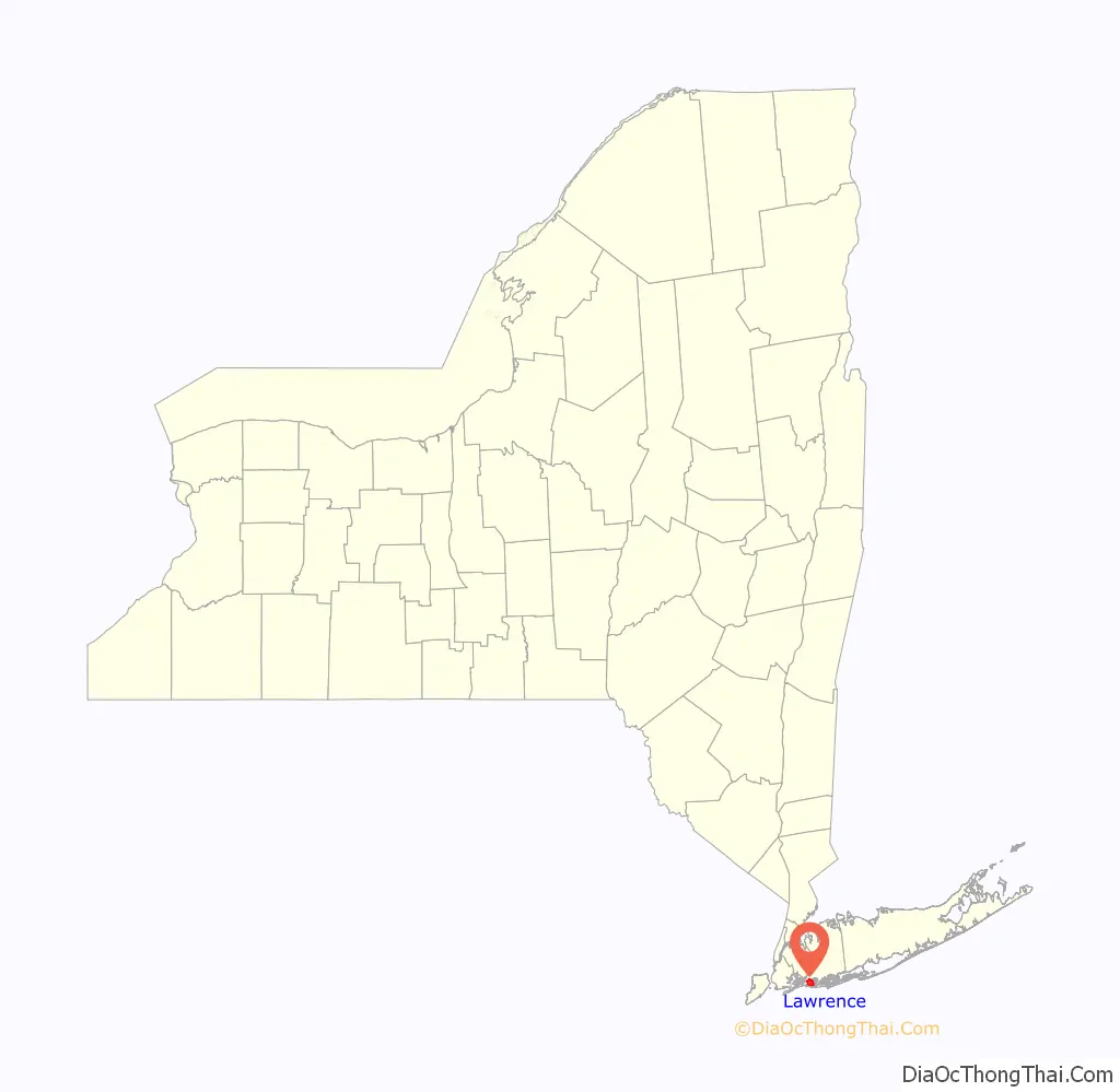
Lawrence location map. Where is Lawrence village?
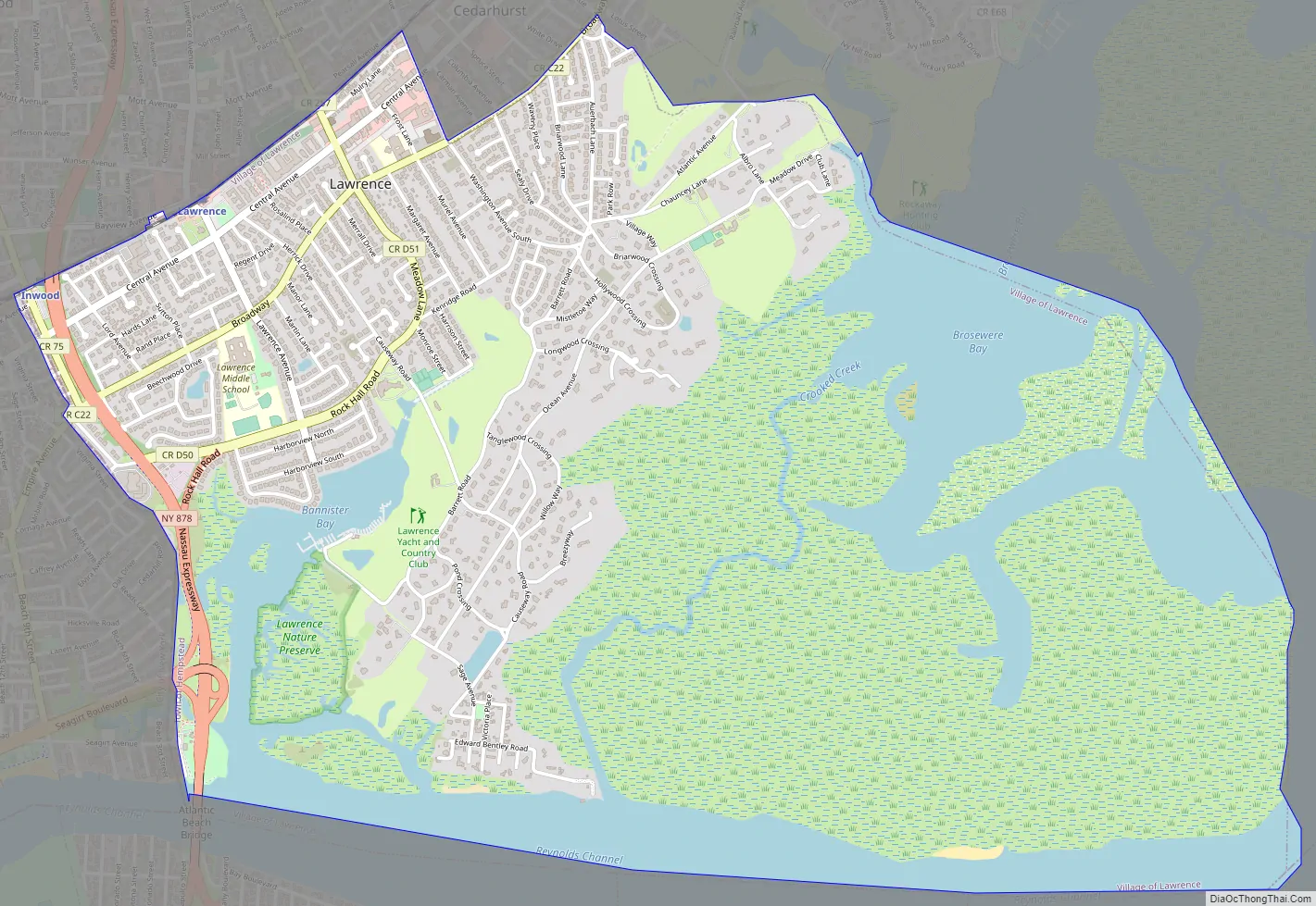
Lawrence Road Map
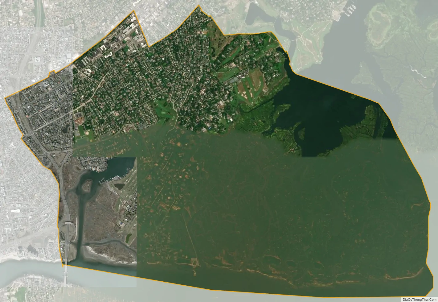
Lawrence city Satellite Map
Geography
According to the United States Census Bureau, the village has a total area of 4.7 square miles (12.1 km), of which 3.8 square miles (10.0 km) is land and 0.8 square mile (2.2 km) (17.91%) is water.
See also
Map of New York State and its subdivision:- Albany
- Allegany
- Bronx
- Broome
- Cattaraugus
- Cayuga
- Chautauqua
- Chemung
- Chenango
- Clinton
- Columbia
- Cortland
- Delaware
- Dutchess
- Erie
- Essex
- Franklin
- Fulton
- Genesee
- Greene
- Hamilton
- Herkimer
- Jefferson
- Kings
- Lake Ontario
- Lewis
- Livingston
- Madison
- Monroe
- Montgomery
- Nassau
- New York
- Niagara
- Oneida
- Onondaga
- Ontario
- Orange
- Orleans
- Oswego
- Otsego
- Putnam
- Queens
- Rensselaer
- Richmond
- Rockland
- Saint Lawrence
- Saratoga
- Schenectady
- Schoharie
- Schuyler
- Seneca
- Steuben
- Suffolk
- Sullivan
- Tioga
- Tompkins
- Ulster
- Warren
- Washington
- Wayne
- Westchester
- Wyoming
- Yates
- Alabama
- Alaska
- Arizona
- Arkansas
- California
- Colorado
- Connecticut
- Delaware
- District of Columbia
- Florida
- Georgia
- Hawaii
- Idaho
- Illinois
- Indiana
- Iowa
- Kansas
- Kentucky
- Louisiana
- Maine
- Maryland
- Massachusetts
- Michigan
- Minnesota
- Mississippi
- Missouri
- Montana
- Nebraska
- Nevada
- New Hampshire
- New Jersey
- New Mexico
- New York
- North Carolina
- North Dakota
- Ohio
- Oklahoma
- Oregon
- Pennsylvania
- Rhode Island
- South Carolina
- South Dakota
- Tennessee
- Texas
- Utah
- Vermont
- Virginia
- Washington
- West Virginia
- Wisconsin
- Wyoming


