Richfield Springs is a village located in the Town of Richfield, on the north-central border of Otsego County, New York, United States. The population was 1,264 at the 2010 census. The name is derived from local sulfur springs.
| Name: | Richfield Springs village |
|---|---|
| LSAD Code: | 47 |
| LSAD Description: | village (suffix) |
| State: | New York |
| County: | Otsego County |
| Elevation: | 1,312 ft (400 m) |
| Total Area: | 1.01 sq mi (2.61 km²) |
| Land Area: | 1.01 sq mi (2.61 km²) |
| Water Area: | 0.00 sq mi (0.00 km²) |
| Total Population: | 1,050 |
| Population Density: | 1,042.70/sq mi (402.78/km²) |
| ZIP code: | 13439 |
| Area code: | 315 |
| FIPS code: | 3661489 |
| GNISfeature ID: | 0962471 |
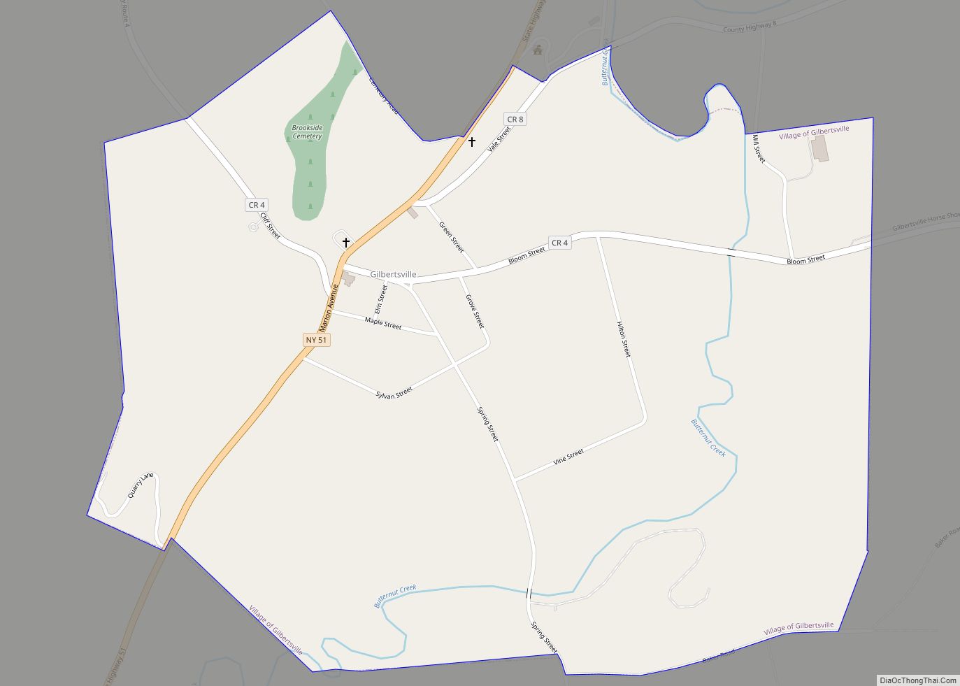
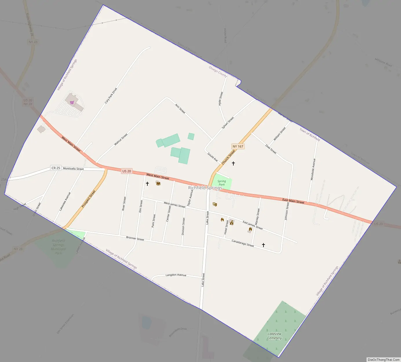
Online Interactive Map
Click on ![]() to view map in "full screen" mode.
to view map in "full screen" mode.
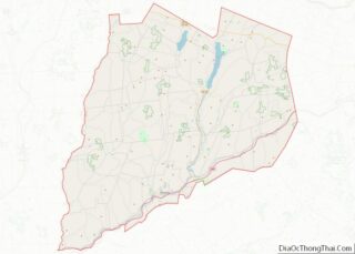
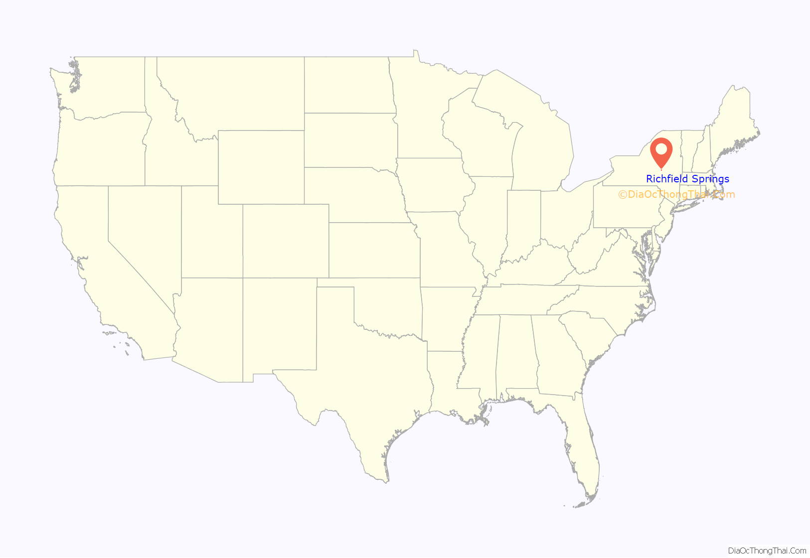
Richfield Springs location map. Where is Richfield Springs village?

History
The area of Richfield Springs was called Ga-no-wan-ges by the Oneida Indians which translated to “stinking water”.
The village was once served by the Southern New York Railroad, an electric trolley line that ran from Oneonta to Mohawk. It began service through Richfield Springs in the summer of 1902.
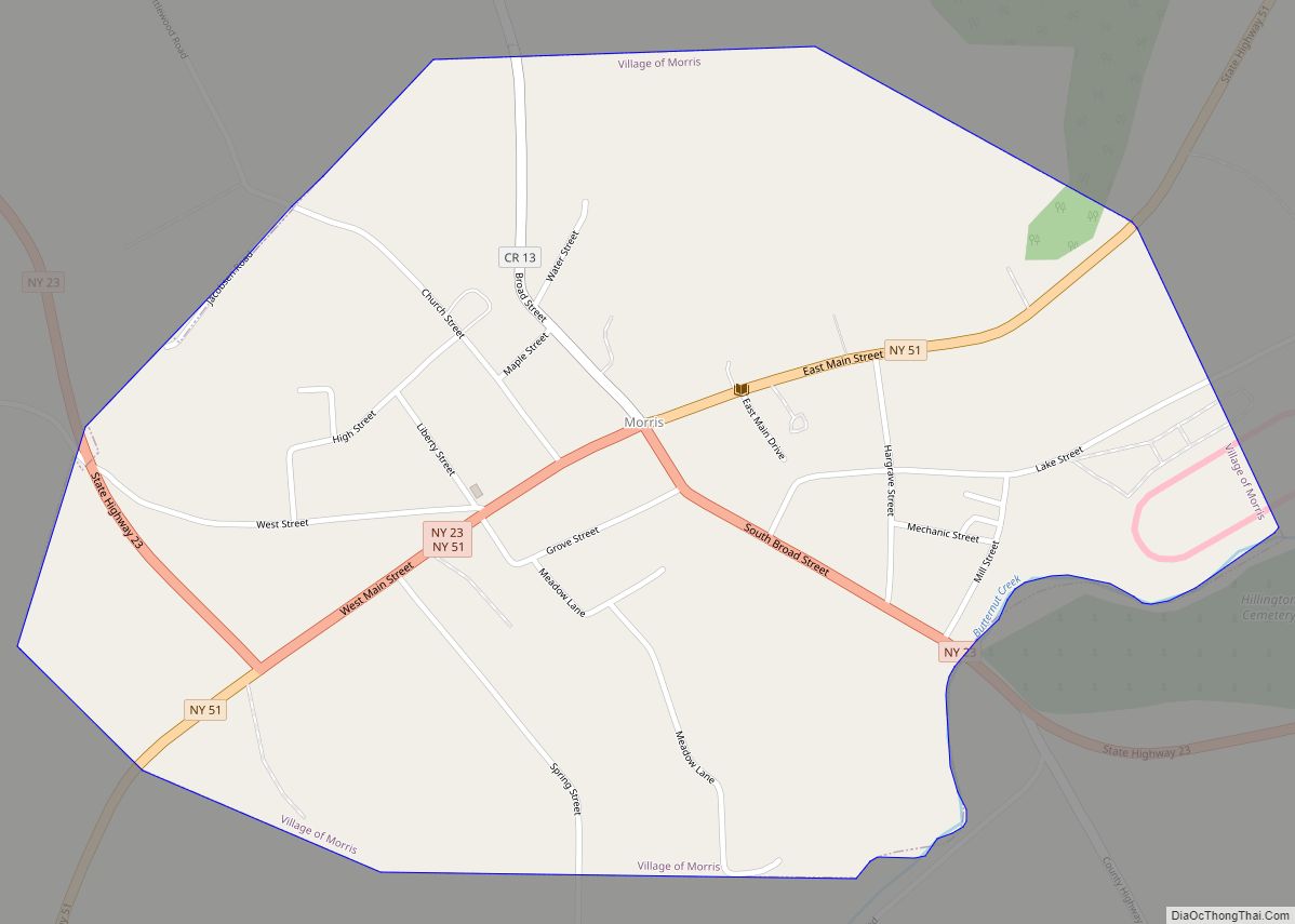
Richfield Springs Road Map
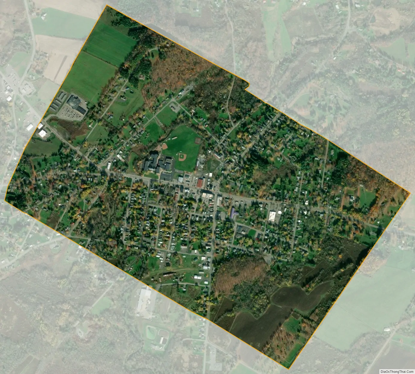
Richfield Springs city Satellite Map
Geography
The village is at the northern end of Canadarago Lake and is at the border of Herkimer County.
Richfield Springs is located at 42°51′11″N 74°59′15″W / 42.85306°N 74.98750°W / 42.85306; -74.98750 (42.853065, -74.987623).
According to the United States Census Bureau, the village has a total area of 1.0 square mile (2.6 km), all land.
U.S. Highway 20, New York State Route 28, and New York State Route 167 converge in Richfield Springs. US 20 and NY 28 intersect outside the western end of the village limits and overlap for a brief time inside the village, while NY 167 has its southern terminus at US 20 in the center of the village.
See also
Map of New York State and its subdivision:- Albany
- Allegany
- Bronx
- Broome
- Cattaraugus
- Cayuga
- Chautauqua
- Chemung
- Chenango
- Clinton
- Columbia
- Cortland
- Delaware
- Dutchess
- Erie
- Essex
- Franklin
- Fulton
- Genesee
- Greene
- Hamilton
- Herkimer
- Jefferson
- Kings
- Lake Ontario
- Lewis
- Livingston
- Madison
- Monroe
- Montgomery
- Nassau
- New York
- Niagara
- Oneida
- Onondaga
- Ontario
- Orange
- Orleans
- Oswego
- Otsego
- Putnam
- Queens
- Rensselaer
- Richmond
- Rockland
- Saint Lawrence
- Saratoga
- Schenectady
- Schoharie
- Schuyler
- Seneca
- Steuben
- Suffolk
- Sullivan
- Tioga
- Tompkins
- Ulster
- Warren
- Washington
- Wayne
- Westchester
- Wyoming
- Yates
- Alabama
- Alaska
- Arizona
- Arkansas
- California
- Colorado
- Connecticut
- Delaware
- District of Columbia
- Florida
- Georgia
- Hawaii
- Idaho
- Illinois
- Indiana
- Iowa
- Kansas
- Kentucky
- Louisiana
- Maine
- Maryland
- Massachusetts
- Michigan
- Minnesota
- Mississippi
- Missouri
- Montana
- Nebraska
- Nevada
- New Hampshire
- New Jersey
- New Mexico
- New York
- North Carolina
- North Dakota
- Ohio
- Oklahoma
- Oregon
- Pennsylvania
- Rhode Island
- South Carolina
- South Dakota
- Tennessee
- Texas
- Utah
- Vermont
- Virginia
- Washington
- West Virginia
- Wisconsin
- Wyoming