Metzger is a census-designated place and unincorporated community, in Washington County, Oregon, United States. As of the 2010 census, the CDP population was 3,765. It is named for Herman Metzger, who platted the community. It is a suburb located within Portland, Oregon.
| Name: | Metzger CDP |
|---|---|
| LSAD Code: | 57 |
| LSAD Description: | CDP (suffix) |
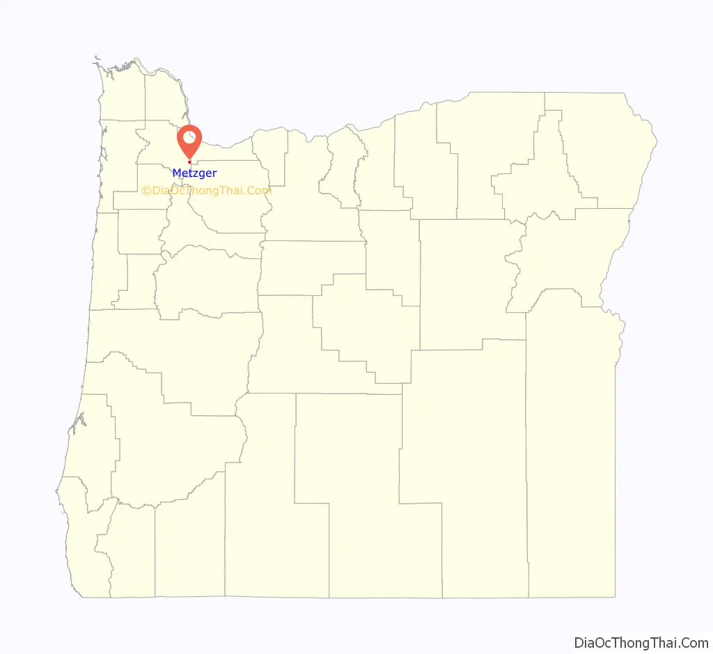
| State: | Oregon |
| County: | Washington County |
| Elevation: | 230 ft (70 m) |
| Total Area: | 0.76 sq mi (1.97 km²) |
| Land Area: | 0.76 sq mi (1.97 km²) |
| Water Area: | 0.00 sq mi (0.00 km²) |
| Total Population: | 4,272 |
| Population Density: | 5,621.05/sq mi (2,170.47/km²) |
| ZIP code: | 97223 |
| Area code: | 503 and 971 |
| FIPS code: | 4147800 |
| GNISfeature ID: | 1136533 |
Online Interactive Map
Click on ![]() to view map in "full screen" mode.
to view map in "full screen" mode.
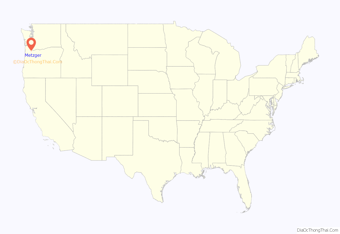
Metzger location map. Where is Metzger CDP?
History
Herman Metzger platted the community, which was actively marketed from 1908–1909. The main line of the Oregon Electric Railway passed through the community, and had a stop that was located off Locust Street east of Jefferson.
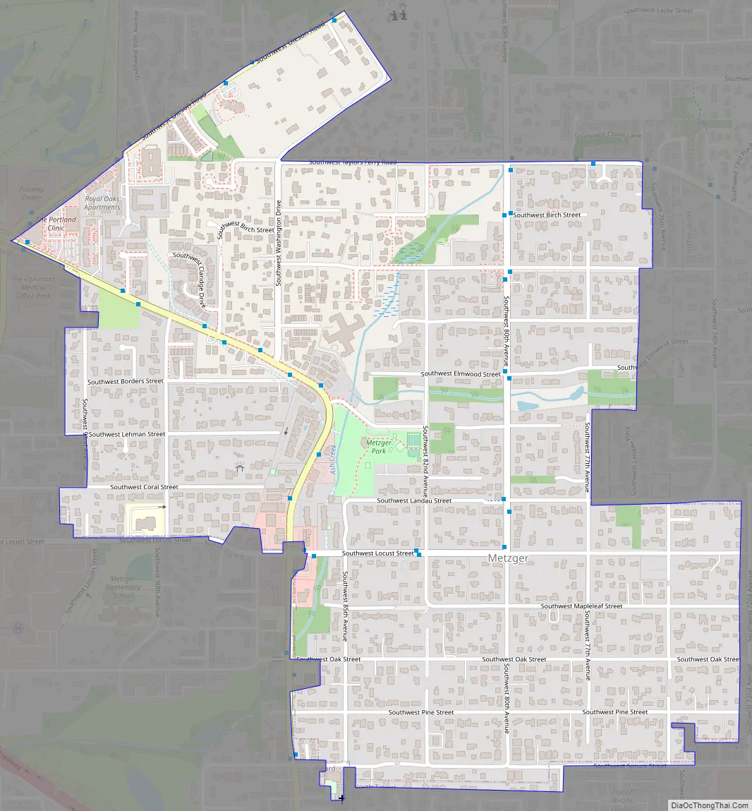
Metzger Road Map
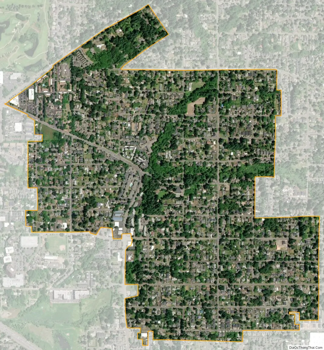
Metzger city Satellite Map
Geography
According to the United States Census Bureau, the CDP has a total area of 0.7 square miles (1.8 km), all land.
Washington Square, a major shopping mall, lies immediately west of Metzger.
See also
Map of Oregon State and its subdivision: Map of other states:- Alabama
- Alaska
- Arizona
- Arkansas
- California
- Colorado
- Connecticut
- Delaware
- District of Columbia
- Florida
- Georgia
- Hawaii
- Idaho
- Illinois
- Indiana
- Iowa
- Kansas
- Kentucky
- Louisiana
- Maine
- Maryland
- Massachusetts
- Michigan
- Minnesota
- Mississippi
- Missouri
- Montana
- Nebraska
- Nevada
- New Hampshire
- New Jersey
- New Mexico
- New York
- North Carolina
- North Dakota
- Ohio
- Oklahoma
- Oregon
- Pennsylvania
- Rhode Island
- South Carolina
- South Dakota
- Tennessee
- Texas
- Utah
- Vermont
- Virginia
- Washington
- West Virginia
- Wisconsin
- Wyoming