Rockcreek is a census-designated place in Washington County, Oregon, United States, north of U.S. Route 26. It is named for the Rock Creek neighborhood in the area. As of the 2010 census, the CDP population was 9,316.
| Name: | Rockcreek CDP |
|---|---|
| LSAD Code: | 57 |
| LSAD Description: | CDP (suffix) |
| State: | Oregon |
| County: | Washington County |
| Elevation: | 184 ft (56 m) |
| Total Area: | 1.97 sq mi (5.09 km²) |
| Land Area: | 1.97 sq mi (5.09 km²) |
| Water Area: | 0.00 sq mi (0.00 km²) |
| Total Population: | 9,862 |
| Population Density: | 5,016.28/sq mi (1,936.31/km²) |
| ZIP code: | 97229 |
| Area code: | 503 and 971 |
| FIPS code: | 4163010 |
| GNISfeature ID: | 1867479 |
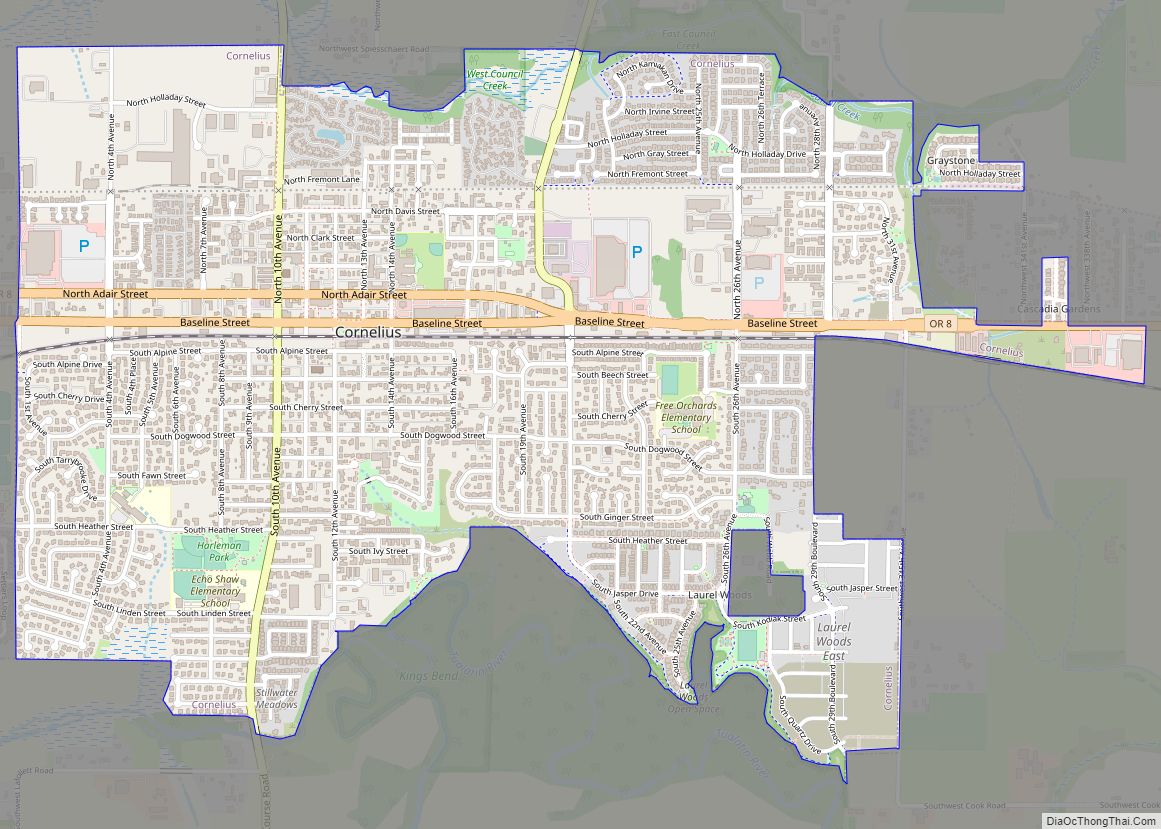
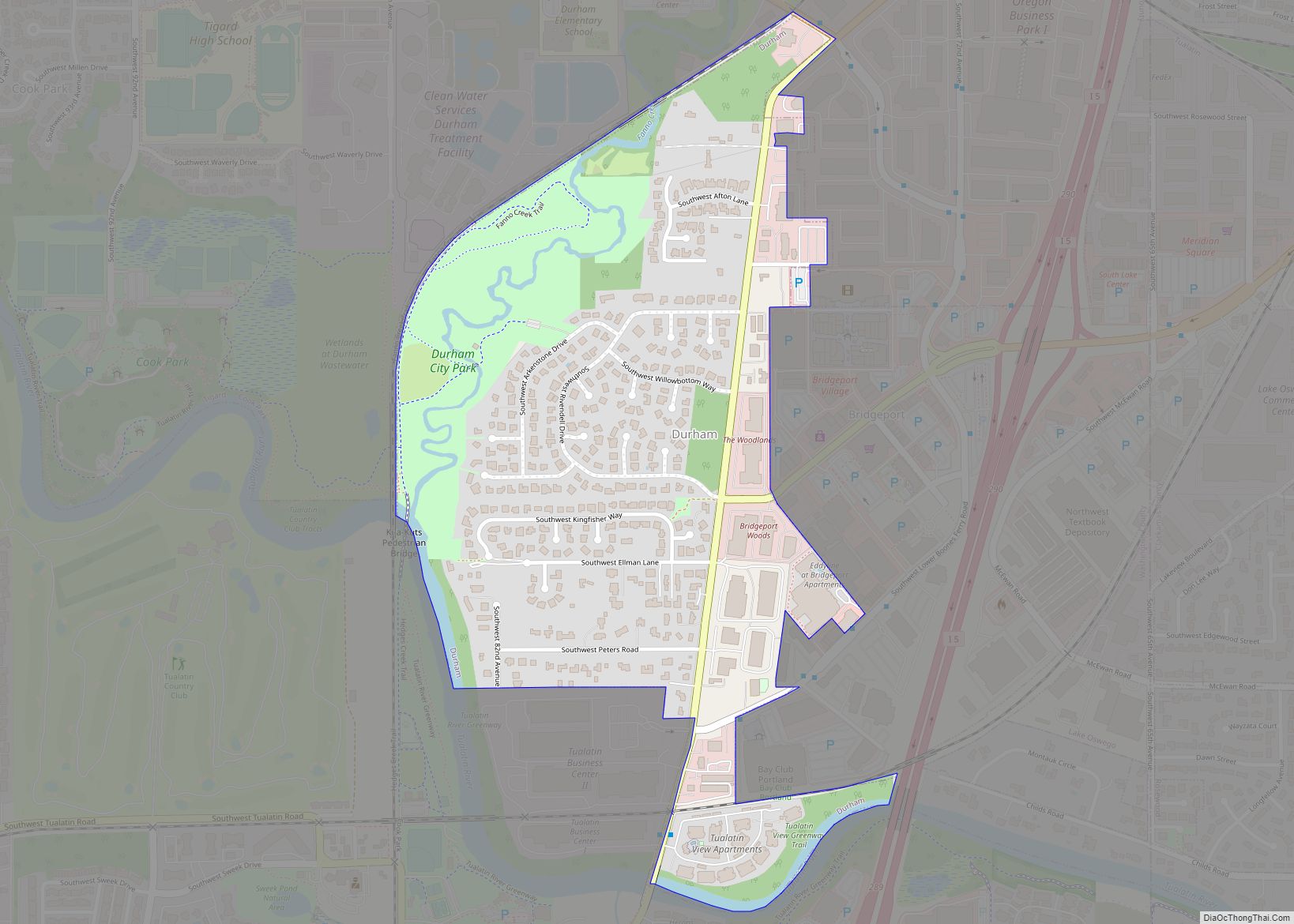
Online Interactive Map
Click on ![]() to view map in "full screen" mode.
to view map in "full screen" mode.
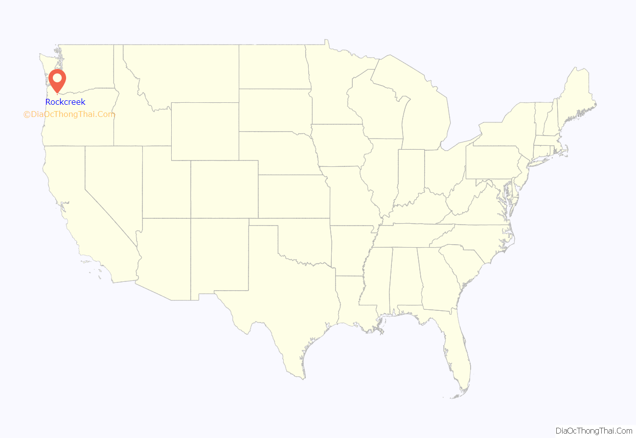
Rockcreek location map. Where is Rockcreek CDP?
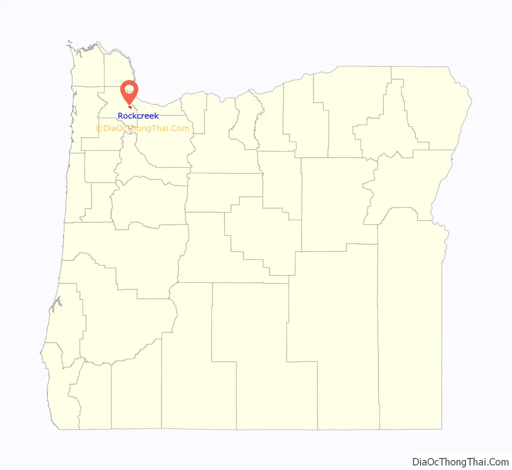
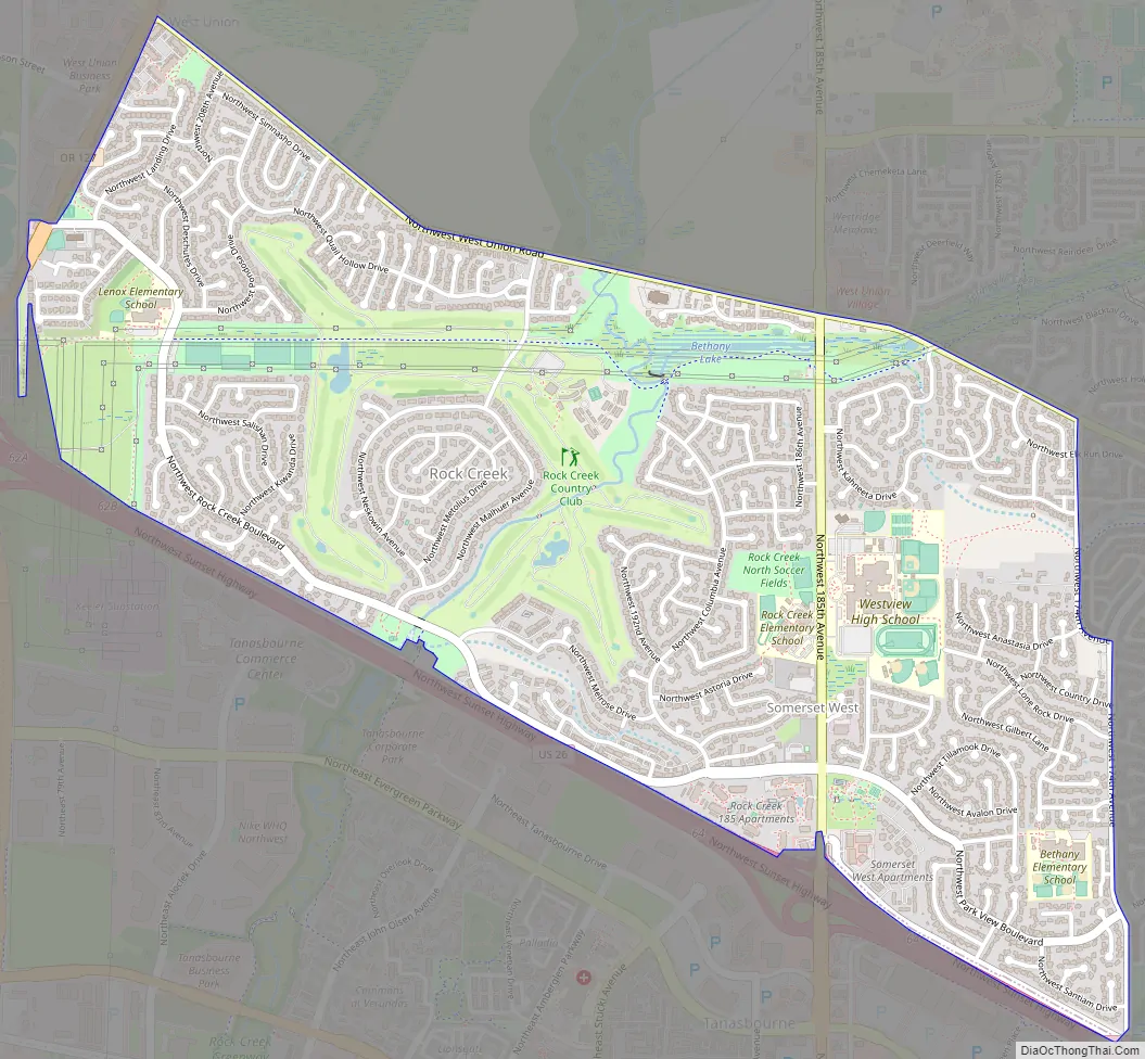
Rockcreek Road Map
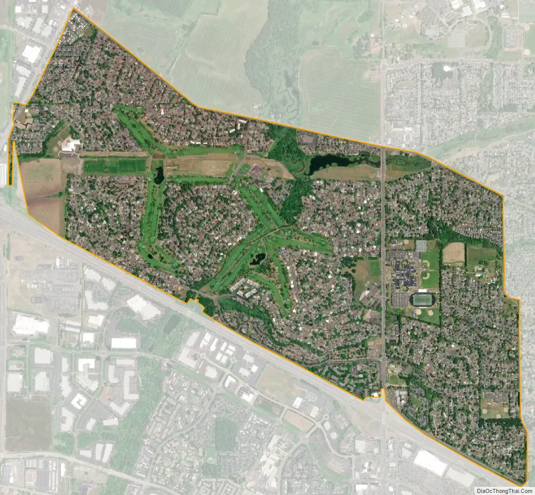
Rockcreek city Satellite Map
Geography
The community is bordered on the south and west by Hillsboro, with Cornelius Pass Road dividing the two on the west and the Sunset Highway as the dividing line on the south. According to the United States Census Bureau, the CDP has a total area of 2.0 square miles (5.2 km), all land.
See also
Map of Oregon State and its subdivision: Map of other states:- Alabama
- Alaska
- Arizona
- Arkansas
- California
- Colorado
- Connecticut
- Delaware
- District of Columbia
- Florida
- Georgia
- Hawaii
- Idaho
- Illinois
- Indiana
- Iowa
- Kansas
- Kentucky
- Louisiana
- Maine
- Maryland
- Massachusetts
- Michigan
- Minnesota
- Mississippi
- Missouri
- Montana
- Nebraska
- Nevada
- New Hampshire
- New Jersey
- New Mexico
- New York
- North Carolina
- North Dakota
- Ohio
- Oklahoma
- Oregon
- Pennsylvania
- Rhode Island
- South Carolina
- South Dakota
- Tennessee
- Texas
- Utah
- Vermont
- Virginia
- Washington
- West Virginia
- Wisconsin
- Wyoming