Aynor is a small town in Horry County, South Carolina, United States, south of Galivants Ferry. The population was 560 at the 2010 census and estimated in 2018 to be 934. Aynor High School consistently ranks as one of the best schools in Horry County and South Carolina.
| Name: | Aynor town |
|---|---|
| LSAD Code: | 43 |
| LSAD Description: | town (suffix) |
| State: | South Carolina |
| County: | Horry County |
| Elevation: | 102 ft (31 m) |
| Total Area: | 1.80 sq mi (4.67 km²) |
| Land Area: | 1.80 sq mi (4.67 km²) |
| Water Area: | 0.00 sq mi (0.00 km²) |
| Total Population: | 974 |
| Population Density: | 540.51/sq mi (208.73/km²) |
| ZIP code: | 29511, 29544 |
| FIPS code: | 4503430 |
| GNISfeature ID: | 1220269 |
| Website: | www.townofaynor.net |
Online Interactive Map
Click on ![]() to view map in "full screen" mode.
to view map in "full screen" mode.
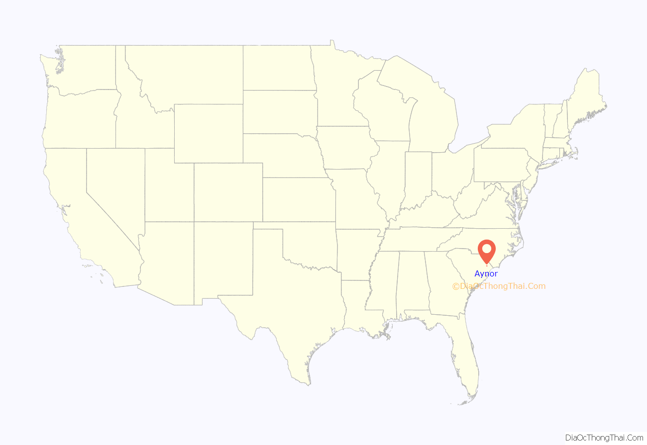
Aynor location map. Where is Aynor town?
History
Aynor was settled as the Eyknor’s Farm in the mid-19th century under Jacob Eyknor. After a railway terminus was added along the railroad from Conway, the town was incorporated in 1913. It elected a mayor and town wardens (now town council members). Gabriel Edwards (1849-1938) was elected the first mayor in 1913 and again in 1923 for a non-consecutive second term. The town developed as a center for production of turpentine, tobacco, and cotton as commodity crops.
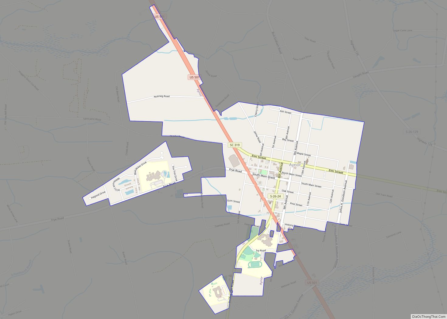
Aynor Road Map
Aynor city Satellite Map
Geography
Aynor is in northwestern Horry County, along U.S. Route 501, which leads 15 miles (24 km) southeast to Conway, the county seat, and northwest 18 miles (29 km) to Marion. Myrtle Beach is 29 miles (47 km) to the southeast of Aynor via US 501.
According to the United States Census Bureau, the town has a total area of 1.9 square miles (4.8 km), all land.
See also
Map of South Carolina State and its subdivision:- Abbeville
- Aiken
- Allendale
- Anderson
- Bamberg
- Barnwell
- Beaufort
- Berkeley
- Calhoun
- Charleston
- Cherokee
- Chester
- Chesterfield
- Clarendon
- Colleton
- Darlington
- Dillon
- Dorchester
- Edgefield
- Fairfield
- Florence
- Georgetown
- Greenville
- Greenwood
- Hampton
- Horry
- Jasper
- Kershaw
- Lancaster
- Laurens
- Lee
- Lexington
- Marion
- Marlboro
- McCormick
- Newberry
- Oconee
- Orangeburg
- Pickens
- Richland
- Saluda
- Spartanburg
- Sumter
- Union
- Williamsburg
- York
- Alabama
- Alaska
- Arizona
- Arkansas
- California
- Colorado
- Connecticut
- Delaware
- District of Columbia
- Florida
- Georgia
- Hawaii
- Idaho
- Illinois
- Indiana
- Iowa
- Kansas
- Kentucky
- Louisiana
- Maine
- Maryland
- Massachusetts
- Michigan
- Minnesota
- Mississippi
- Missouri
- Montana
- Nebraska
- Nevada
- New Hampshire
- New Jersey
- New Mexico
- New York
- North Carolina
- North Dakota
- Ohio
- Oklahoma
- Oregon
- Pennsylvania
- Rhode Island
- South Carolina
- South Dakota
- Tennessee
- Texas
- Utah
- Vermont
- Virginia
- Washington
- West Virginia
- Wisconsin
- Wyoming
