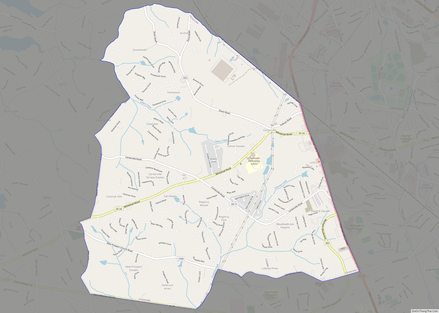
Centerville is a census-designated place (CDP) in Anderson County, South Carolina, United States. The population was 6,586 at the 2010 census.
| Name: | Centerville CDP |
|---|---|
| LSAD Code: | 57 |
| LSAD Description: | CDP (suffix) |
| State: | South Carolina |
| County: | Anderson County |
| Elevation: | 833 ft (254 m) |
| Total Area: | 5.94 sq mi (15.37 km²) |
| Land Area: | 5.91 sq mi (15.29 km²) |
| Water Area: | 0.03 sq mi (0.08 km²) |
| Total Population: | 7,185 |
| Population Density: | 1,216.77/sq mi (469.82/km²) |
| ZIP code: | 29625 |
| Area code: | 864 |
| FIPS code: | 4512965 |
| GNISfeature ID: | 1236603 |
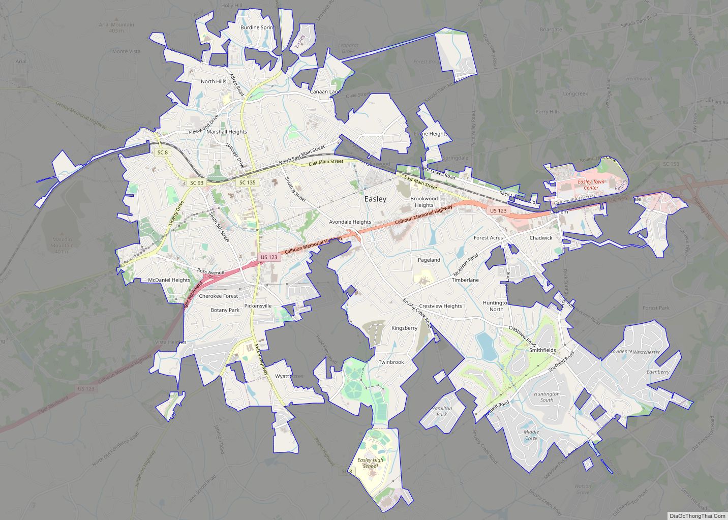
Online Interactive Map
Click on ![]() to view map in "full screen" mode.
to view map in "full screen" mode.
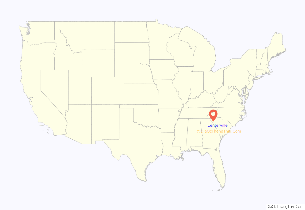
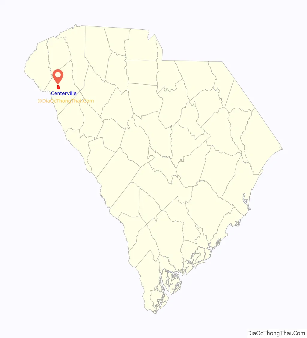
Centerville location map. Where is Centerville CDP?
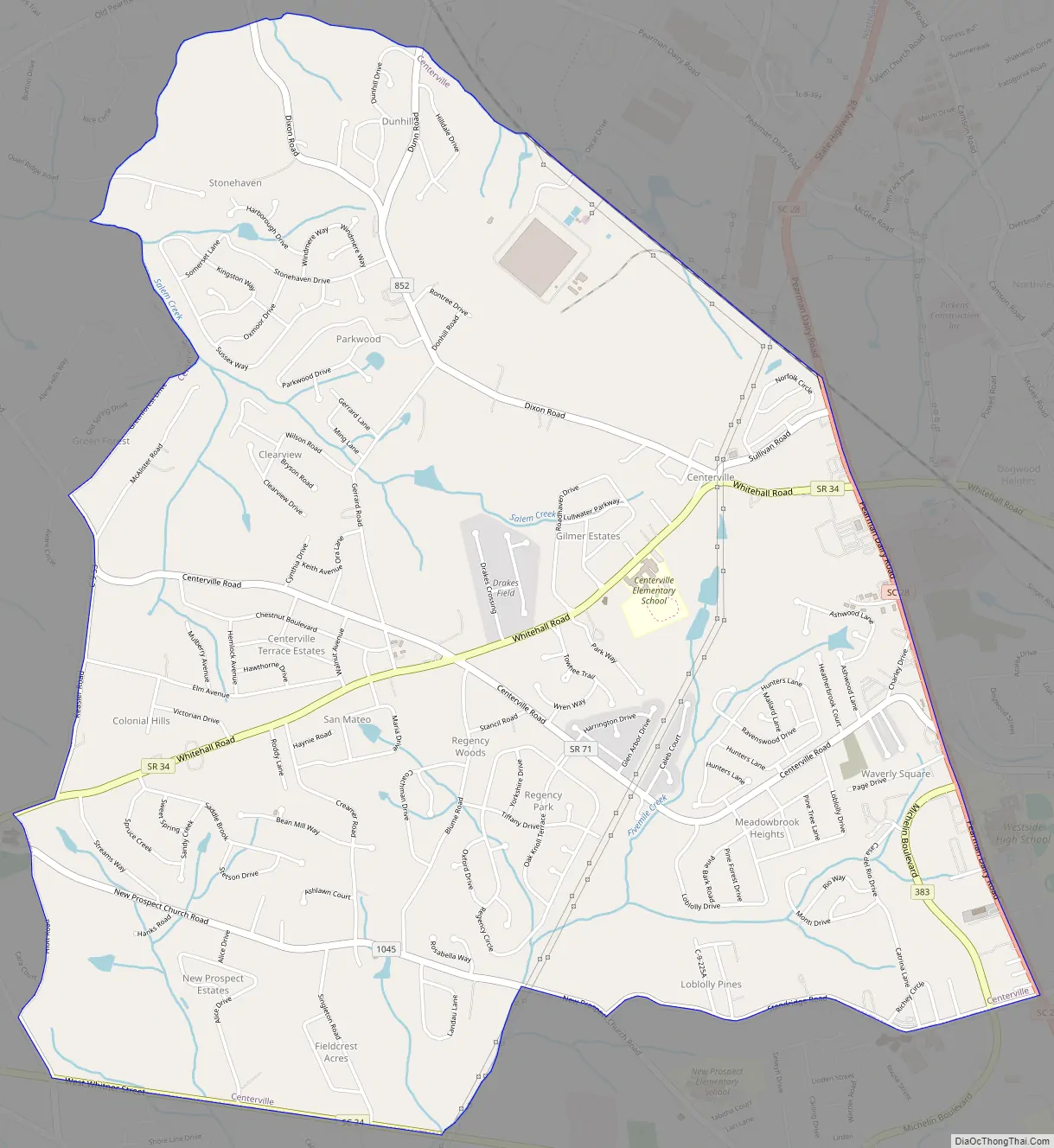
Centerville Road Map
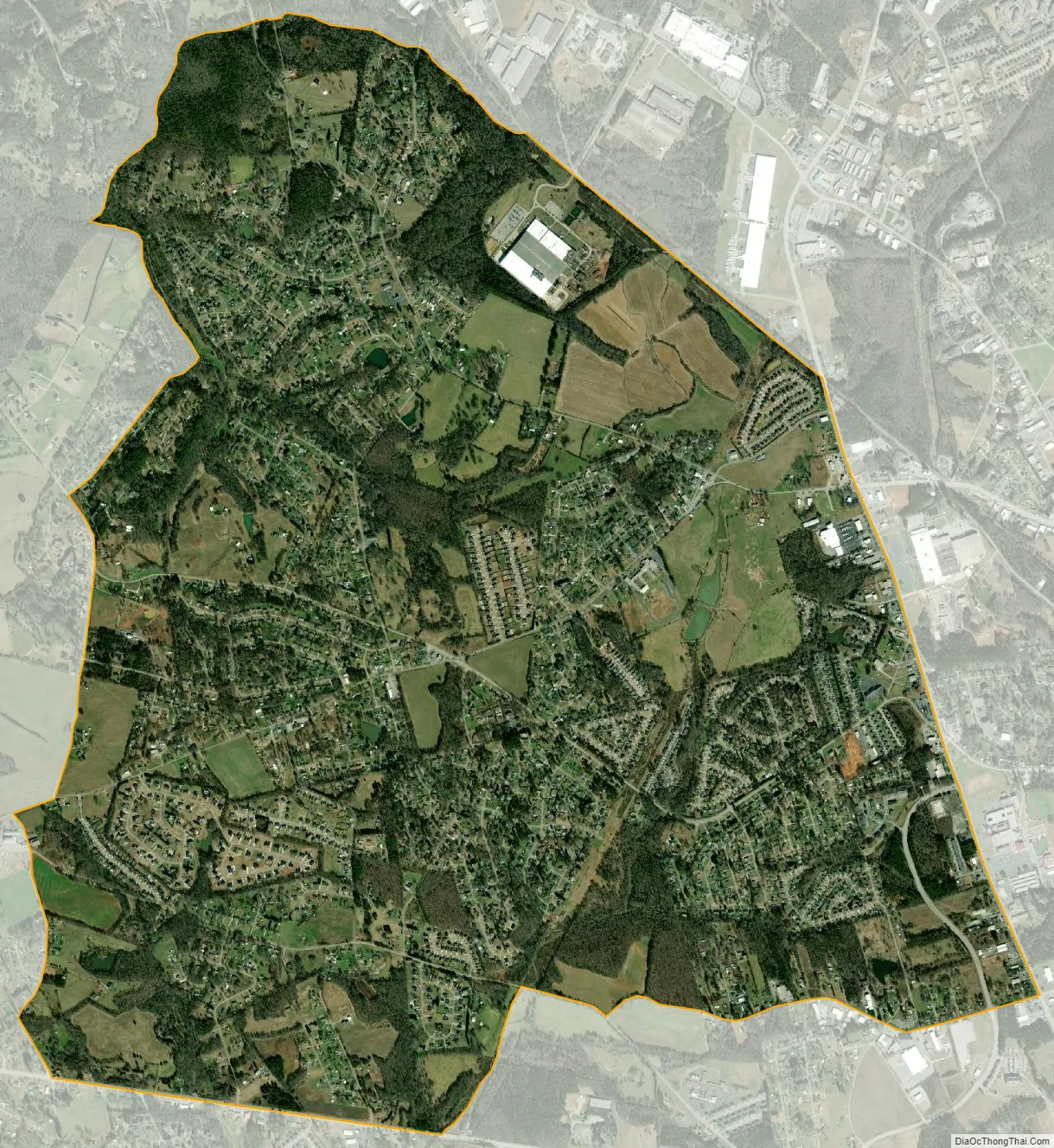
Centerville city Satellite Map
Geography
Centerville is a suburban area in central Anderson County located at 34°31′21″N 82°42′53″W / 34.52250°N 82.71472°W / 34.52250; -82.71472 (34.522505, -82.714756), west of Anderson, the county seat. Interstate 85, the primary highway through Upstate South Carolina, is 4 miles (6 km) to the north at Exit 19. Lake Hartwell is 2 miles (3 km) to the west.
According to the United States Census Bureau, the CDP has a total area of 5.9 square miles (15.4 km), of which 5.9 square miles (15.3 km) is land and 0.039 square miles (0.1 km), or 0.52%, is water.
See also
Map of South Carolina State and its subdivision:- Abbeville
- Aiken
- Allendale
- Anderson
- Bamberg
- Barnwell
- Beaufort
- Berkeley
- Calhoun
- Charleston
- Cherokee
- Chester
- Chesterfield
- Clarendon
- Colleton
- Darlington
- Dillon
- Dorchester
- Edgefield
- Fairfield
- Florence
- Georgetown
- Greenville
- Greenwood
- Hampton
- Horry
- Jasper
- Kershaw
- Lancaster
- Laurens
- Lee
- Lexington
- Marion
- Marlboro
- McCormick
- Newberry
- Oconee
- Orangeburg
- Pickens
- Richland
- Saluda
- Spartanburg
- Sumter
- Union
- Williamsburg
- York
- Alabama
- Alaska
- Arizona
- Arkansas
- California
- Colorado
- Connecticut
- Delaware
- District of Columbia
- Florida
- Georgia
- Hawaii
- Idaho
- Illinois
- Indiana
- Iowa
- Kansas
- Kentucky
- Louisiana
- Maine
- Maryland
- Massachusetts
- Michigan
- Minnesota
- Mississippi
- Missouri
- Montana
- Nebraska
- Nevada
- New Hampshire
- New Jersey
- New Mexico
- New York
- North Carolina
- North Dakota
- Ohio
- Oklahoma
- Oregon
- Pennsylvania
- Rhode Island
- South Carolina
- South Dakota
- Tennessee
- Texas
- Utah
- Vermont
- Virginia
- Washington
- West Virginia
- Wisconsin
- Wyoming