Eastover is a town in Richland County, South Carolina, United States. The population was 813 at the 2010 census, down from 830 in 2000. It is part of the Columbia, South Carolina, Metropolitan Statistical Area.
| Name: | Eastover town |
|---|---|
| LSAD Code: | 43 |
| LSAD Description: | town (suffix) |
| State: | South Carolina |
| County: | Richland County |
| Elevation: | 190 ft (60 m) |
| Total Area: | 1.21 sq mi (3.15 km²) |
| Land Area: | 1.21 sq mi (3.15 km²) |
| Water Area: | 0.00 sq mi (0.00 km²) |
| Total Population: | 614 |
| Population Density: | 505.77/sq mi (195.23/km²) |
| ZIP code: | 29044 |
| Area code: | 803, 839 |
| FIPS code: | 4522390 |
| GNISfeature ID: | 1222202 |
| Website: | http://www.eastoversc.com |
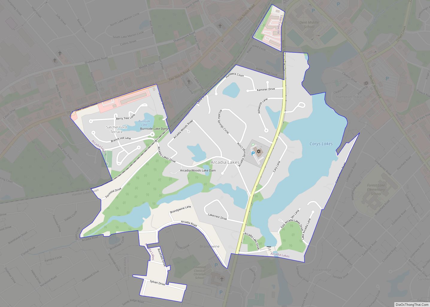
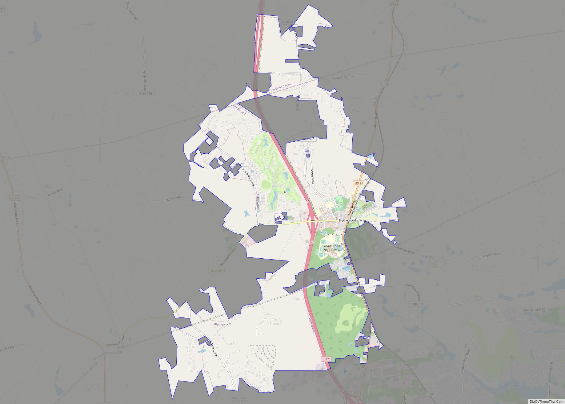
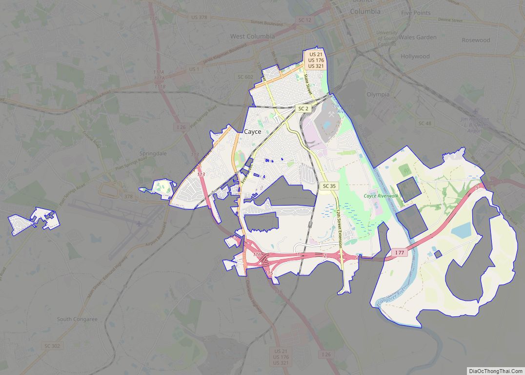
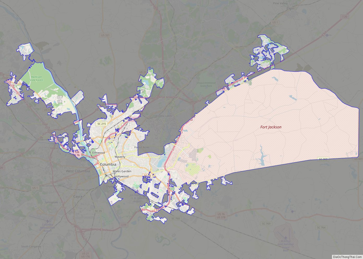
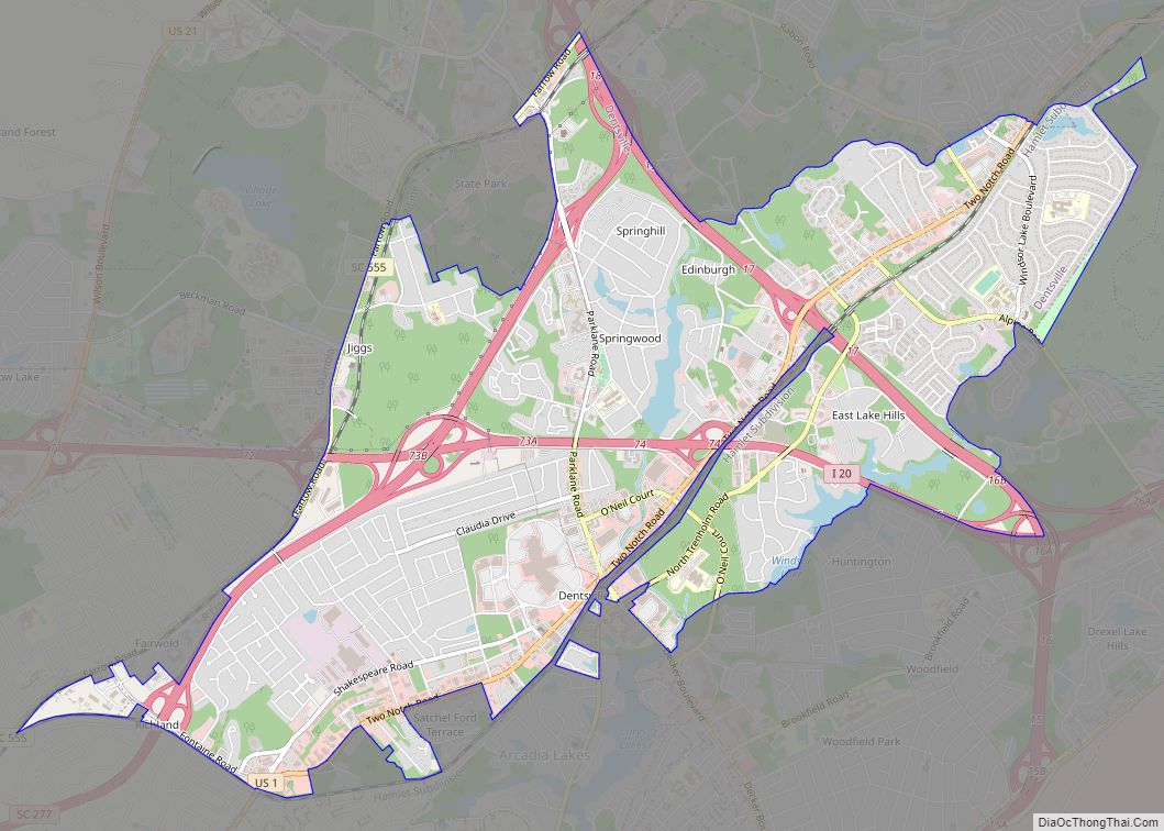
Online Interactive Map
Click on ![]() to view map in "full screen" mode.
to view map in "full screen" mode.
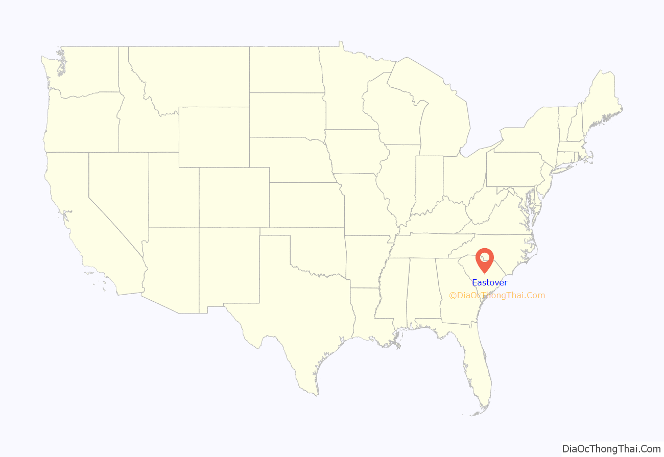
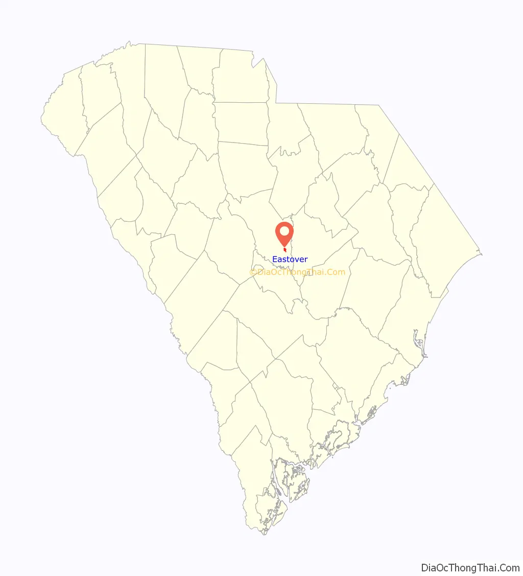
Eastover location map. Where is Eastover town?
History
The J.A. Byrd Mercantile Store, Farmers and Merchants Bank Building, Good Hope Baptist Church, Goodwill Plantation, Kensington Plantation House, St. Phillip School, Saint Thomas’ Protestant Episcopal Church, Claudius Scott Cottage, and Siloam School are listed on the National Register of Historic Places.
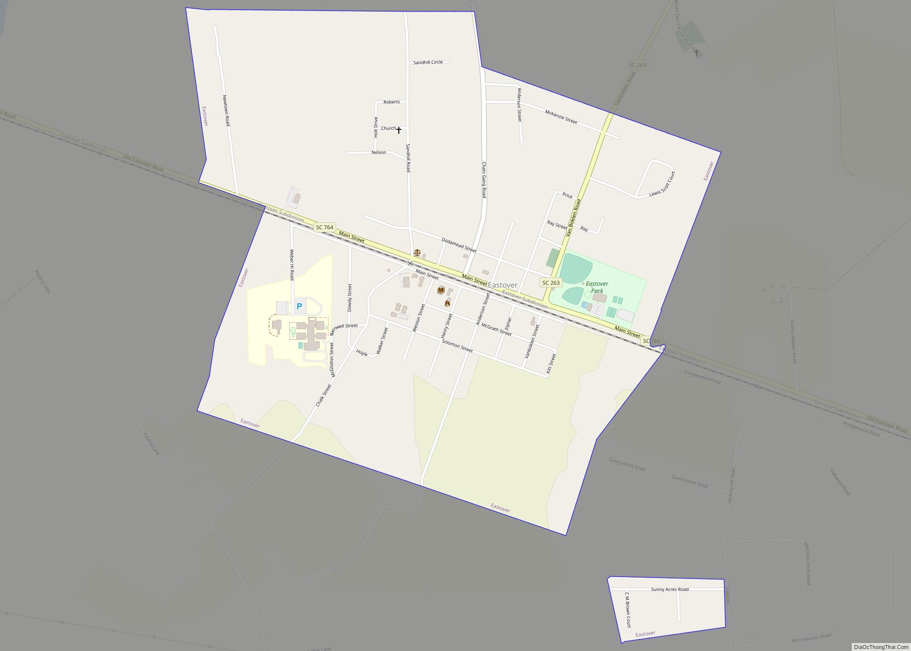
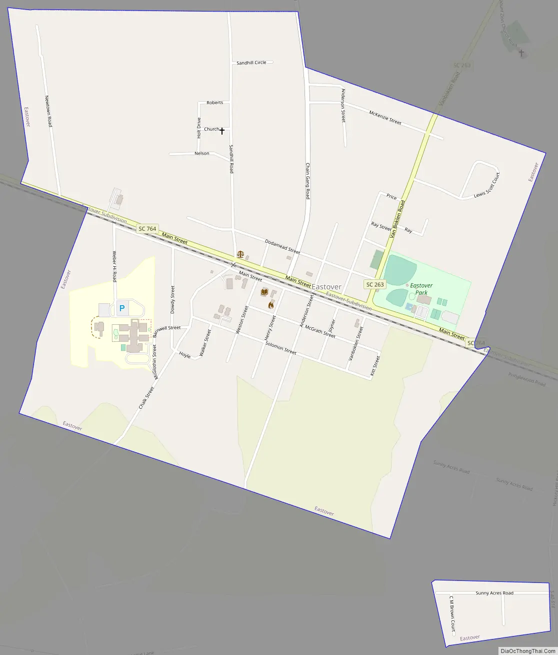
Eastover Road Map
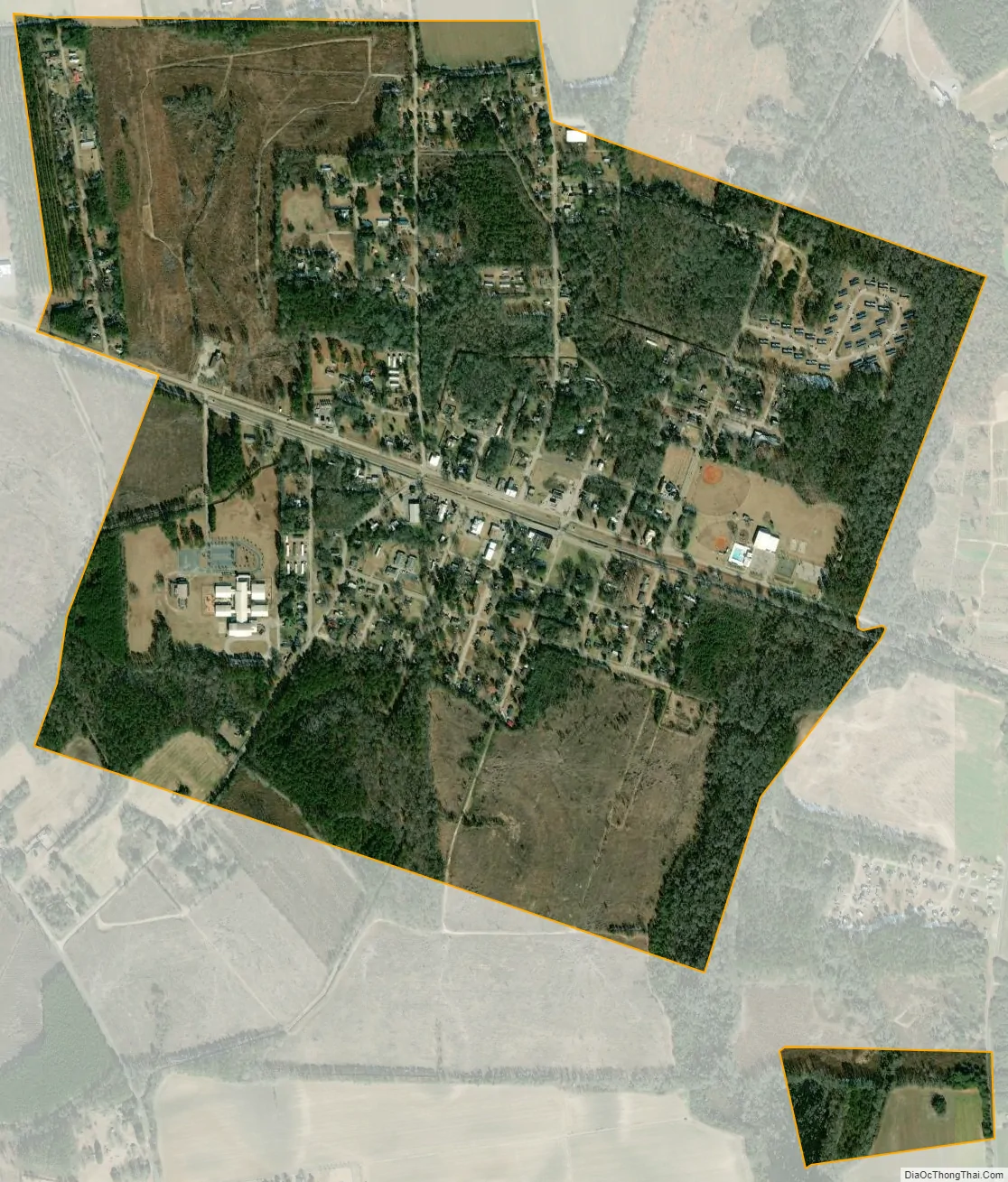
Eastover city Satellite Map
Geography
Eastover is located at 33°52′39″N 80°41′41″W / 33.87750°N 80.69472°W / 33.87750; -80.69472 (33.877553, -80.694592).
According to the United States Census Bureau, the town has a total area of 1.2 square miles (3.1 km), all land.
See also
Map of South Carolina State and its subdivision:- Abbeville
- Aiken
- Allendale
- Anderson
- Bamberg
- Barnwell
- Beaufort
- Berkeley
- Calhoun
- Charleston
- Cherokee
- Chester
- Chesterfield
- Clarendon
- Colleton
- Darlington
- Dillon
- Dorchester
- Edgefield
- Fairfield
- Florence
- Georgetown
- Greenville
- Greenwood
- Hampton
- Horry
- Jasper
- Kershaw
- Lancaster
- Laurens
- Lee
- Lexington
- Marion
- Marlboro
- McCormick
- Newberry
- Oconee
- Orangeburg
- Pickens
- Richland
- Saluda
- Spartanburg
- Sumter
- Union
- Williamsburg
- York
- Alabama
- Alaska
- Arizona
- Arkansas
- California
- Colorado
- Connecticut
- Delaware
- District of Columbia
- Florida
- Georgia
- Hawaii
- Idaho
- Illinois
- Indiana
- Iowa
- Kansas
- Kentucky
- Louisiana
- Maine
- Maryland
- Massachusetts
- Michigan
- Minnesota
- Mississippi
- Missouri
- Montana
- Nebraska
- Nevada
- New Hampshire
- New Jersey
- New Mexico
- New York
- North Carolina
- North Dakota
- Ohio
- Oklahoma
- Oregon
- Pennsylvania
- Rhode Island
- South Carolina
- South Dakota
- Tennessee
- Texas
- Utah
- Vermont
- Virginia
- Washington
- West Virginia
- Wisconsin
- Wyoming