Enoree is a Census-designated place located in Spartanburg County in the U.S. state of South Carolina. According to the 2010 United States Census, the population was 665.
| Name: | Enoree CDP |
|---|---|
| LSAD Code: | 57 |
| LSAD Description: | CDP (suffix) |
| State: | South Carolina |
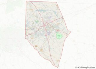
| County: | Spartanburg County |
| Elevation: | 538 ft (164 m) |
| Total Area: | 1.59 sq mi (4.11 km²) |
| Land Area: | 1.55 sq mi (4.01 km²) |
| Water Area: | 0.04 sq mi (0.10 km²) |
| Total Population: | 687 |
| Population Density: | 443.51/sq mi (171.24/km²) |
| ZIP code: | 29335 |
| FIPS code: | 4523605 |
| GNISfeature ID: | 2629824 |
Online Interactive Map
Click on ![]() to view map in "full screen" mode.
to view map in "full screen" mode.
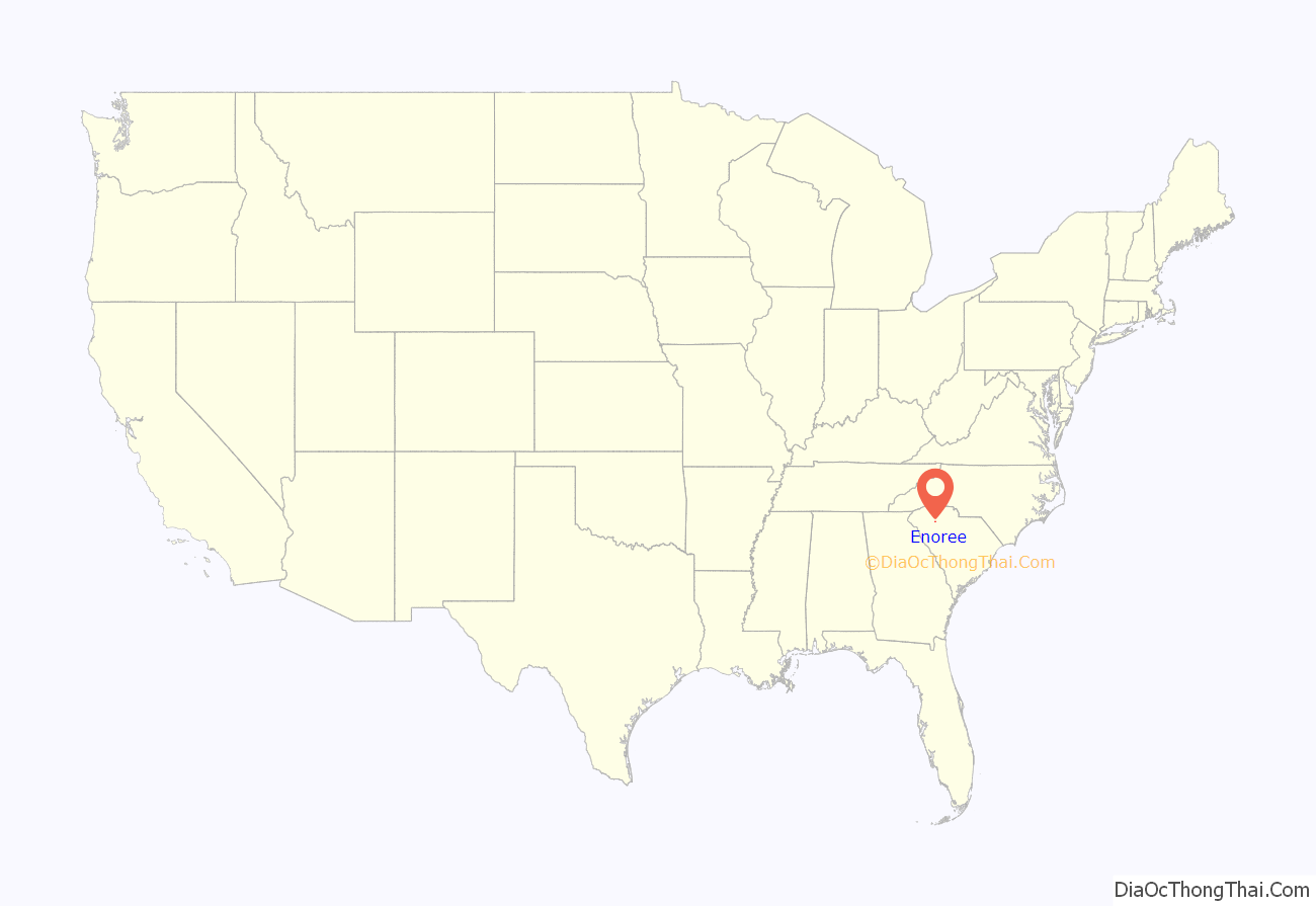
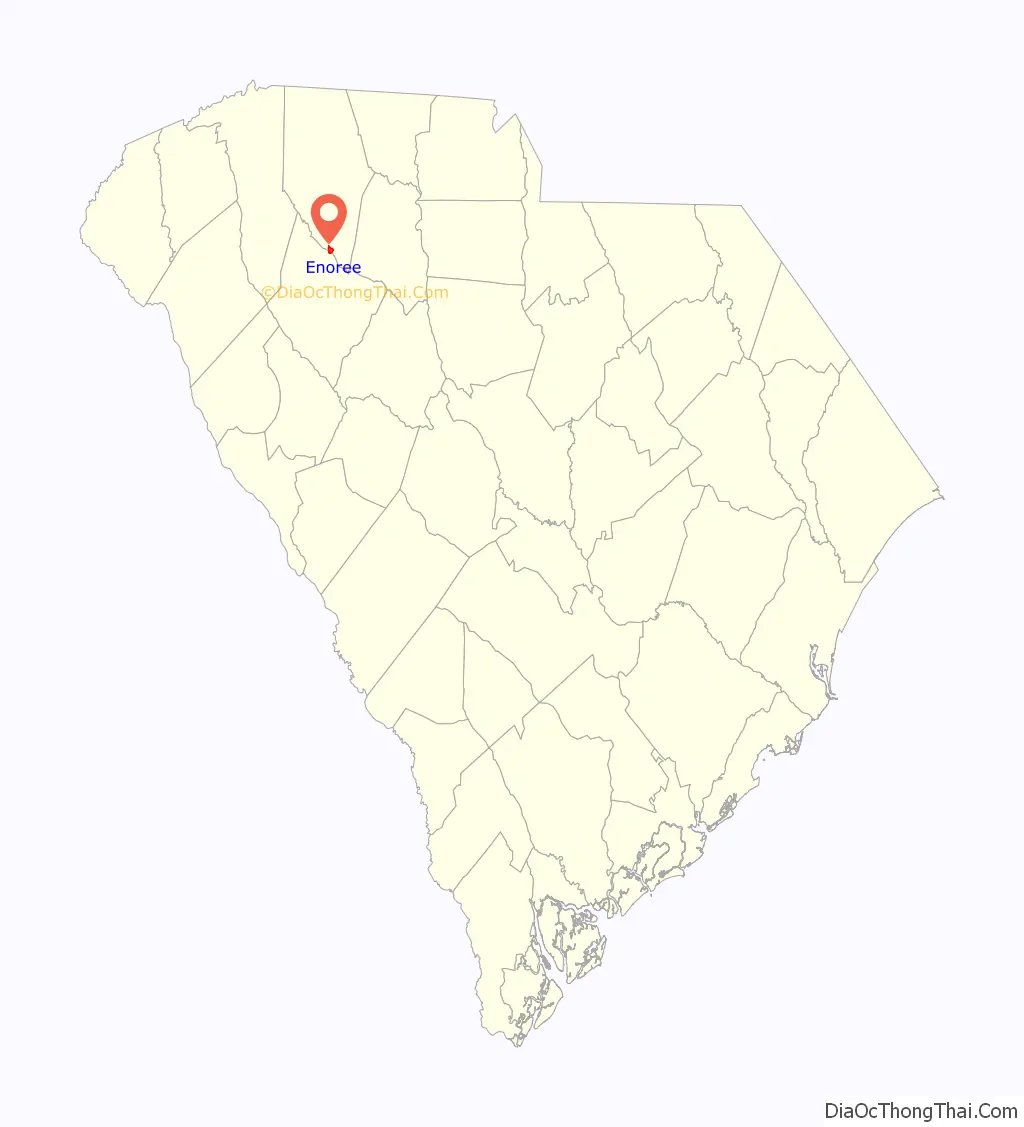
Enoree location map. Where is Enoree CDP?
History
Mountain Shoals Plantation was listed on the National Register of Historic Places in 1979.
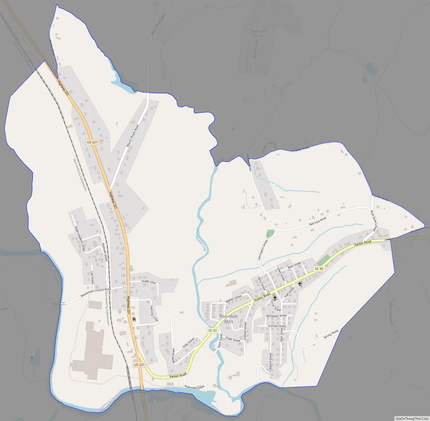
Enoree Road Map
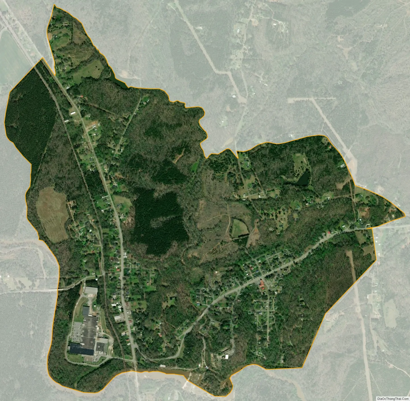
Enoree city Satellite Map
Geography
Enoree is located at 34°39′38″N 81°57′45″W / 34.66056°N 81.96250°W / 34.66056; -81.96250 (34.660485, -81.96252). These coordinates place the CDP in the southwestern part of the county, near the border with Laurens County.
According to the United States Census Bureau, the CDP has a total land area of 1.548 square miles (3.973 km) and a total water area of 0.036 square mile (0.093 km).
See also
Map of South Carolina State and its subdivision:- Abbeville
- Aiken
- Allendale
- Anderson
- Bamberg
- Barnwell
- Beaufort
- Berkeley
- Calhoun
- Charleston
- Cherokee
- Chester
- Chesterfield
- Clarendon
- Colleton
- Darlington
- Dillon
- Dorchester
- Edgefield
- Fairfield
- Florence
- Georgetown
- Greenville
- Greenwood
- Hampton
- Horry
- Jasper
- Kershaw
- Lancaster
- Laurens
- Lee
- Lexington
- Marion
- Marlboro
- McCormick
- Newberry
- Oconee
- Orangeburg
- Pickens
- Richland
- Saluda
- Spartanburg
- Sumter
- Union
- Williamsburg
- York
- Alabama
- Alaska
- Arizona
- Arkansas
- California
- Colorado
- Connecticut
- Delaware
- District of Columbia
- Florida
- Georgia
- Hawaii
- Idaho
- Illinois
- Indiana
- Iowa
- Kansas
- Kentucky
- Louisiana
- Maine
- Maryland
- Massachusetts
- Michigan
- Minnesota
- Mississippi
- Missouri
- Montana
- Nebraska
- Nevada
- New Hampshire
- New Jersey
- New Mexico
- New York
- North Carolina
- North Dakota
- Ohio
- Oklahoma
- Oregon
- Pennsylvania
- Rhode Island
- South Carolina
- South Dakota
- Tennessee
- Texas
- Utah
- Vermont
- Virginia
- Washington
- West Virginia
- Wisconsin
- Wyoming