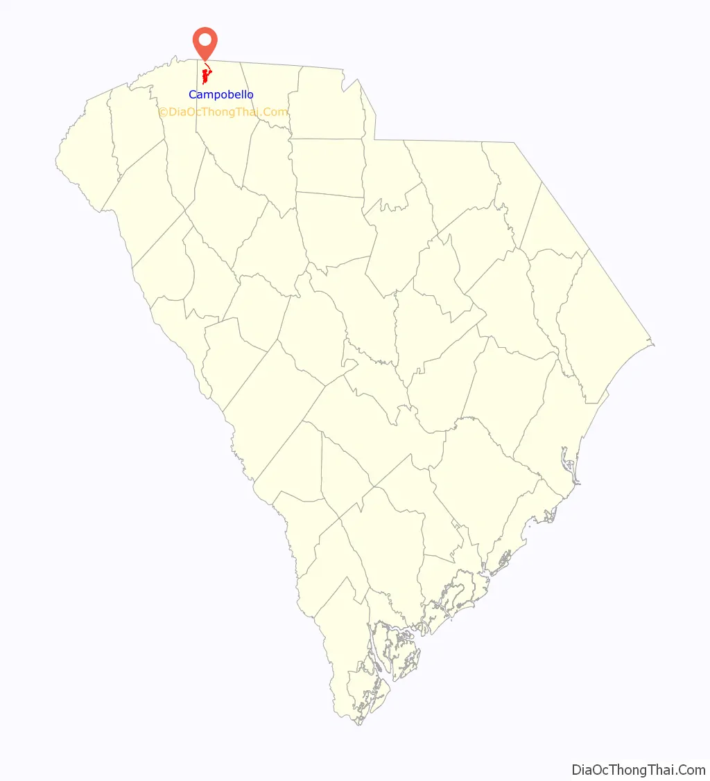
Campobello is a town in Spartanburg County, South Carolina, United States, along the South Pacolet River. The population was 502 at the 2010 census.
| Name: | Campobello town |
|---|---|
| LSAD Code: | 43 |
| LSAD Description: | town (suffix) |
| State: | South Carolina |
| County: | Spartanburg County |
| Elevation: | 922 ft (281 m) |
| Total Area: | 2.78 sq mi (7.21 km²) |
| Land Area: | 2.78 sq mi (7.21 km²) |
| Water Area: | 0.00 sq mi (0.00 km²) |
| Total Population: | 675 |
| Population Density: | 242.63/sq mi (93.68/km²) |
| ZIP code: | 29322 |
| Area code: | 864 |
| FIPS code: | 4511125 |
| GNISfeature ID: | 1247131 |
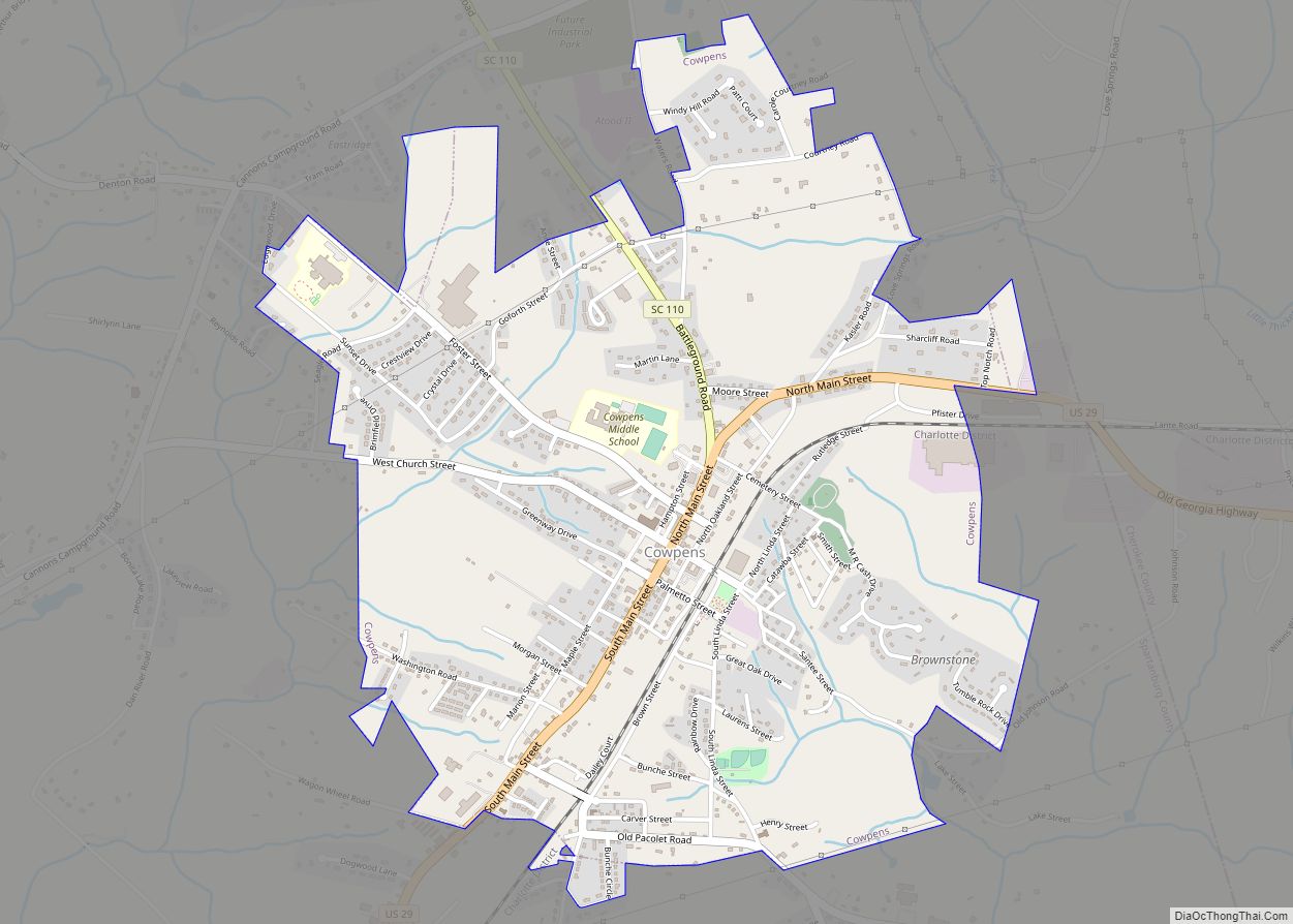
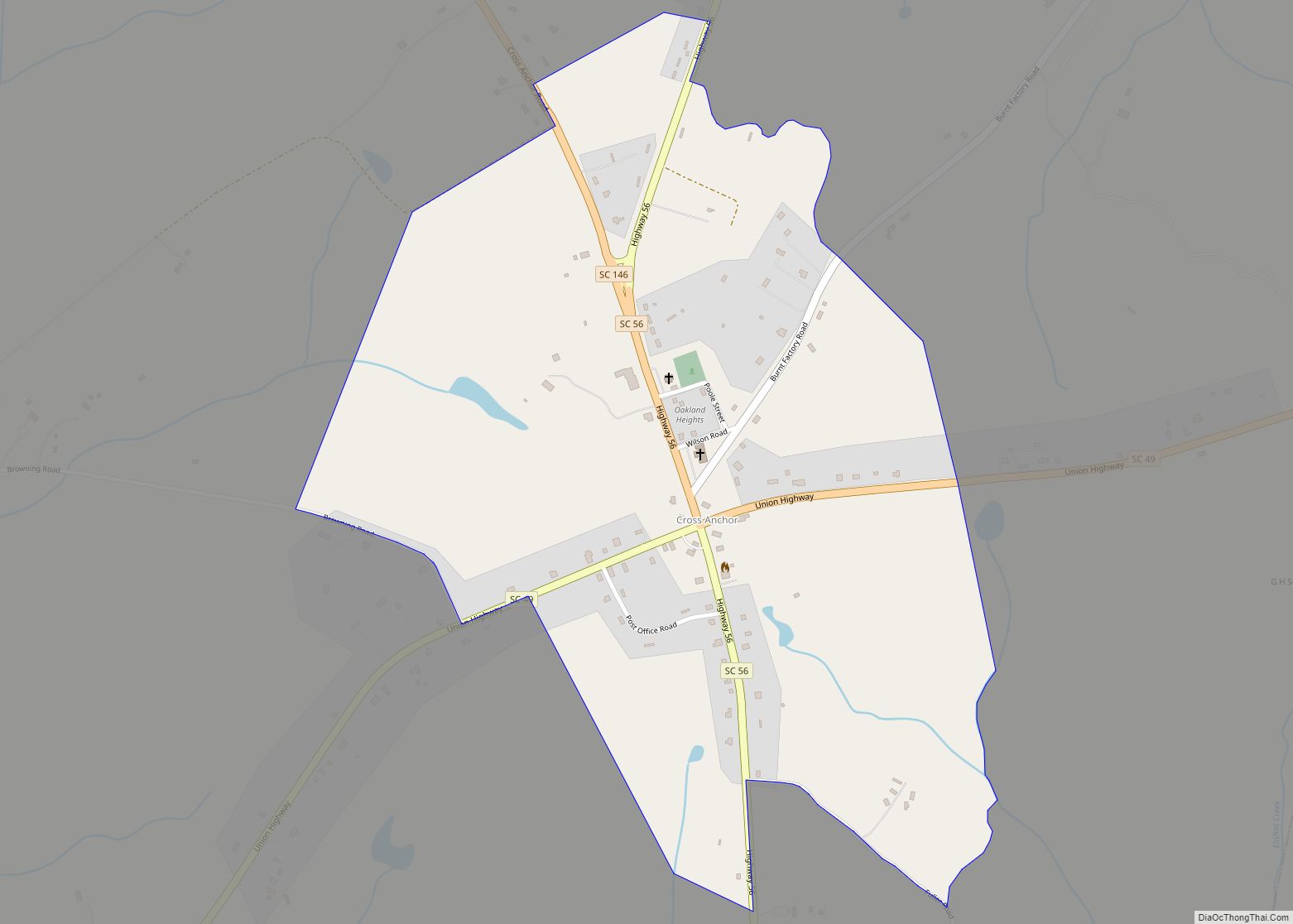
Online Interactive Map
Click on ![]() to view map in "full screen" mode.
to view map in "full screen" mode.
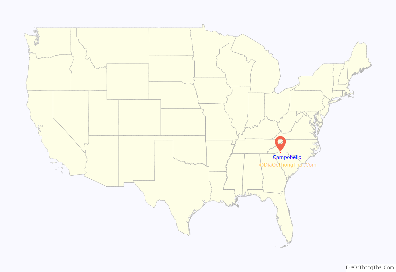
Campobello location map. Where is Campobello town?
History
Campobello was founded in 1840. Campobello is a name derived from Italian meaning “beautiful field”. A post office called Campobello has been in operation since 1850.
Campobello Road Map
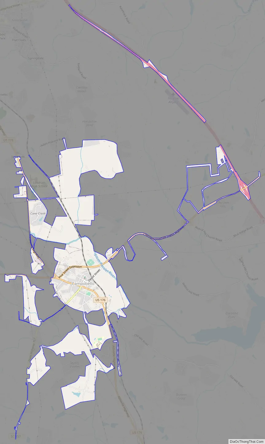
Campobello city Satellite Map

Geography
Campobello is located at 35°6′55″N 82°8′59″W / 35.11528°N 82.14972°W / 35.11528; -82.14972 (35.115403, -82.149622). The town is concentrated around the intersection of U.S. Route 176 and South Carolina Highway 357, northwest of Spartanburg, and a few miles south of the North Carolina-South Carolina border. South Carolina Highway 11 passes through the northern part of Campobello, connecting the town with Interstate 26 to the east.
According to the United States Census Bureau, the town has a total area of 0.9 square miles (2.3 km), all land.
See also
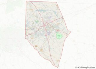
Map of South Carolina State and its subdivision:- Abbeville
- Aiken
- Allendale
- Anderson
- Bamberg
- Barnwell
- Beaufort
- Berkeley
- Calhoun
- Charleston
- Cherokee
- Chester
- Chesterfield
- Clarendon
- Colleton
- Darlington
- Dillon
- Dorchester
- Edgefield
- Fairfield
- Florence
- Georgetown
- Greenville
- Greenwood
- Hampton
- Horry
- Jasper
- Kershaw
- Lancaster
- Laurens
- Lee
- Lexington
- Marion
- Marlboro
- McCormick
- Newberry
- Oconee
- Orangeburg
- Pickens
- Richland
- Saluda
- Spartanburg
- Sumter
- Union
- Williamsburg
- York
- Alabama
- Alaska
- Arizona
- Arkansas
- California
- Colorado
- Connecticut
- Delaware
- District of Columbia
- Florida
- Georgia
- Hawaii
- Idaho
- Illinois
- Indiana
- Iowa
- Kansas
- Kentucky
- Louisiana
- Maine
- Maryland
- Massachusetts
- Michigan
- Minnesota
- Mississippi
- Missouri
- Montana
- Nebraska
- Nevada
- New Hampshire
- New Jersey
- New Mexico
- New York
- North Carolina
- North Dakota
- Ohio
- Oklahoma
- Oregon
- Pennsylvania
- Rhode Island
- South Carolina
- South Dakota
- Tennessee
- Texas
- Utah
- Vermont
- Virginia
- Washington
- West Virginia
- Wisconsin
- Wyoming