Honea Path is a town primarily in Anderson County, South Carolina and extending into Abbeville County in the northwest part of the state. The population was 3,597 at the 2010 census.
| Name: | Honea Path town |
|---|---|
| LSAD Code: | 43 |
| LSAD Description: | town (suffix) |
| State: | South Carolina |
| County: | Abbeville County, Anderson County |
| Elevation: | 791 ft (241 m) |
| Total Area: | 3.51 sq mi (9.10 km²) |
| Land Area: | 3.51 sq mi (9.10 km²) |
| Water Area: | 0.00 sq mi (0.00 km²) |
| Total Population: | 3,686 |
| Population Density: | 1,048.95/sq mi (405.05/km²) |
| ZIP code: | 29654 |
| Area code: | 864 |
| FIPS code: | 4534810 |
| GNISfeature ID: | 1246035 |
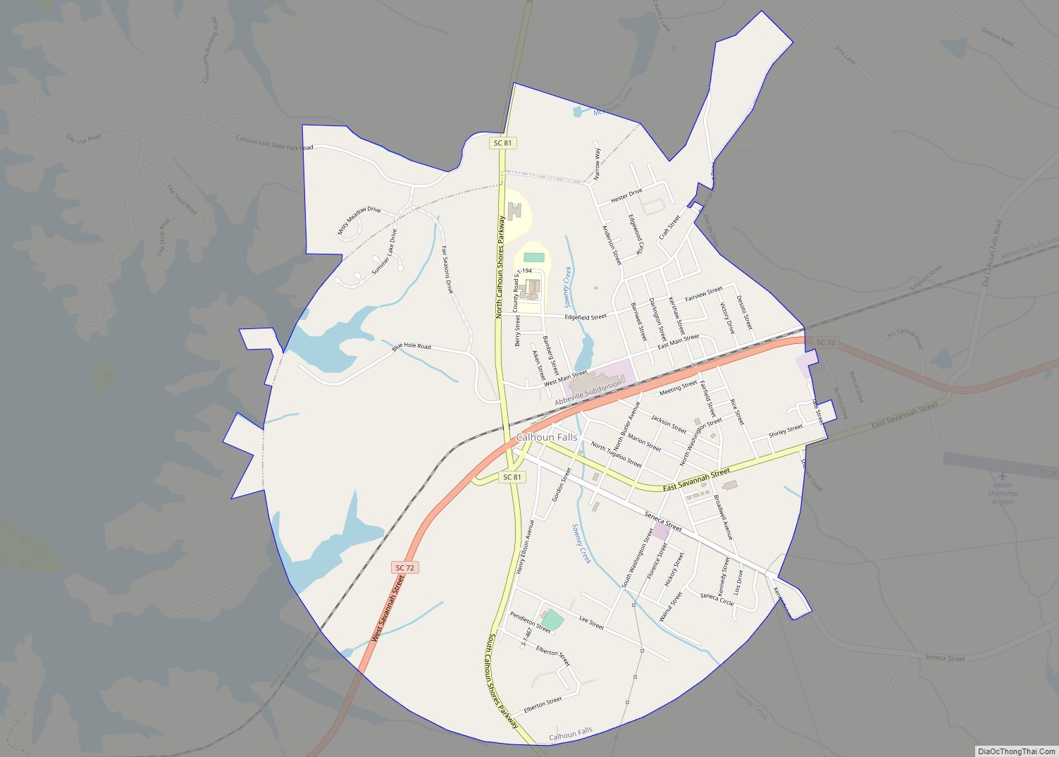
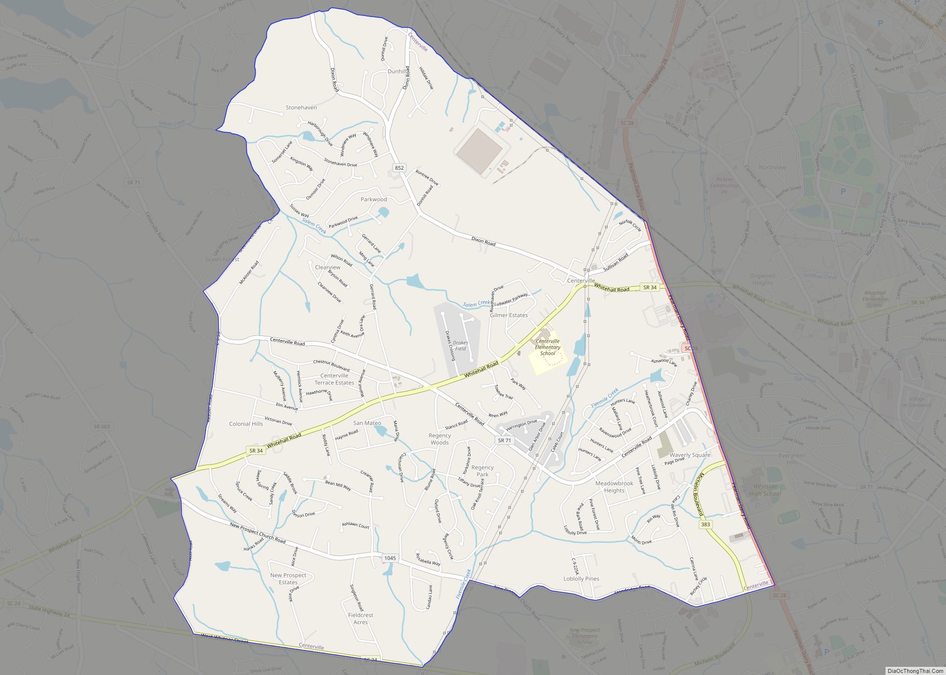
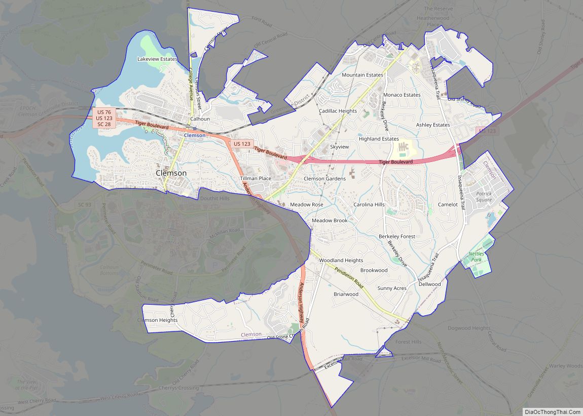
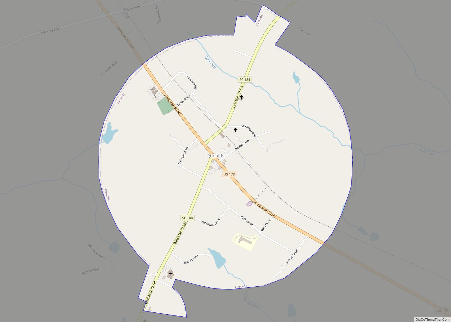
Online Interactive Map
Click on ![]() to view map in "full screen" mode.
to view map in "full screen" mode.
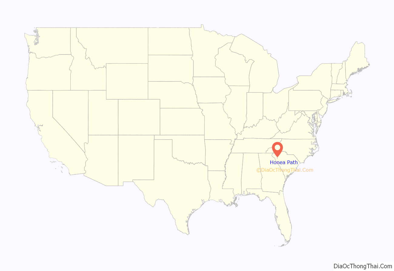
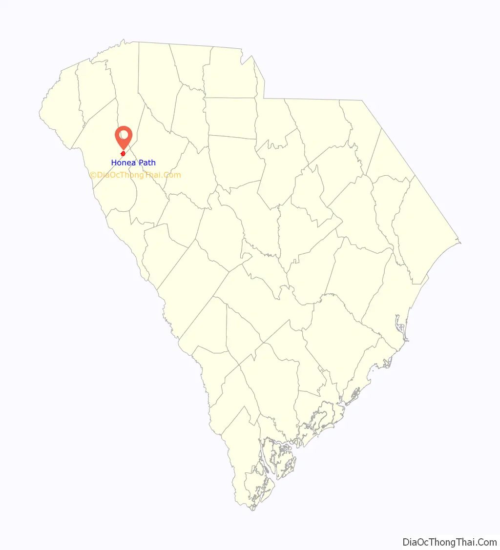
Honea Path location map. Where is Honea Path town?
History
The Chiquola textile mill was very important in Honea Path’s early development. On September 6, 1934, management perpetrated the Chiquola Mill Massacre against workers taking part in a general textile strike. Textile factory guards killed six picketers and injured approximately thirty more in the altercation. The men were reported to have been shot fleeing the picket lines, and many were found with bullet wounds in their backs. This event is featured in the Public Broadcasting Service (PBS) documentary on the POV series called “The Uprising of ’34”. An historical photo essay entitled “Mill Town Murder” is online at Beacham Journal . Here: https://www.beachamjournal.com/journal/2014/08/its-the-80th-anniversary-of-the-chiquola-mill-massacre-in-honea-path-south-carolina.html
The Obediah Shirley House was listed on the National Register of Historic Places in 1999.
Honea Path Road Map
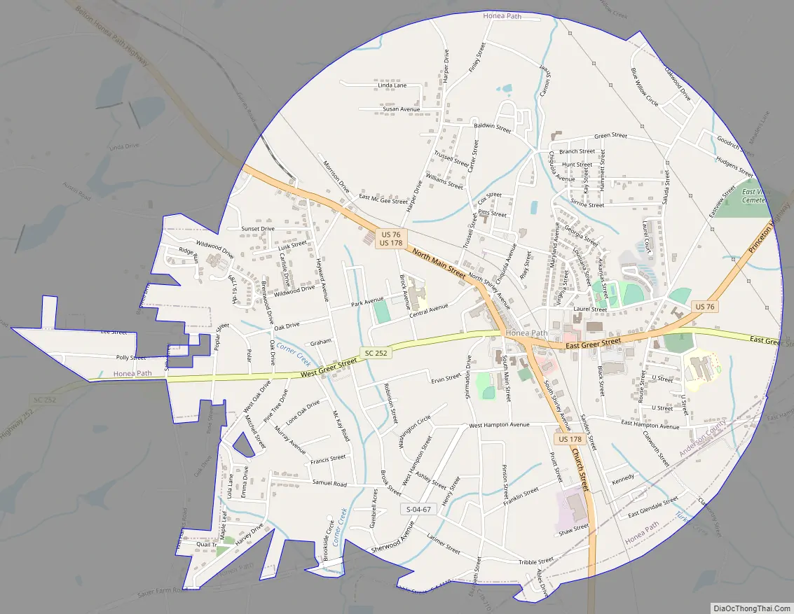
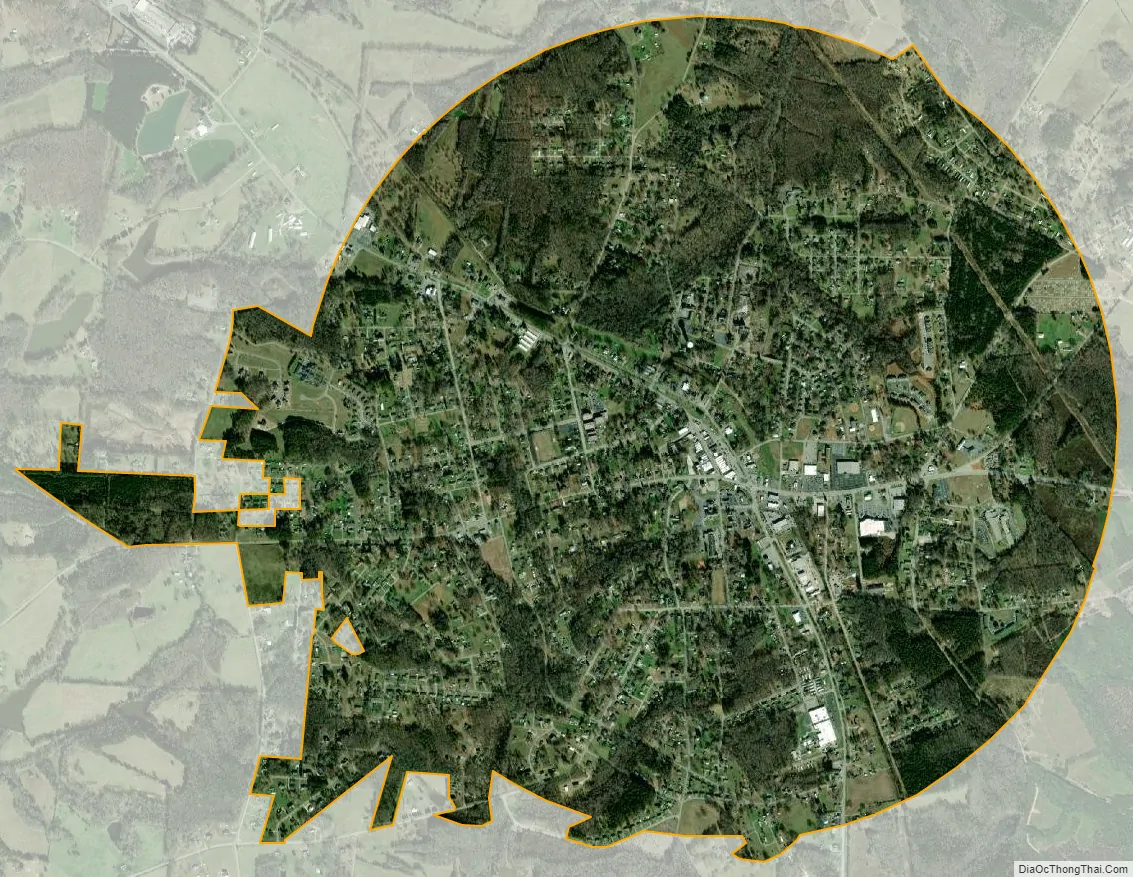
Honea Path city Satellite Map
Geography
Honea Path is located at 34°26′51″N 82°23′35″W / 34.44750°N 82.39306°W / 34.44750; -82.39306 (34.447400, -82.393044).
According to the United States Census Bureau, the town has a total area of 3.6 square miles (9.4 km), all land.
Honea Path has many lakes and creeks: towards Anderson on Highway 252 is Blue Barker Creek (aka, Blue Creek) and Barkers Creek, and towards Princeton on Highway 76 is Broad Mouth Creek.
See also
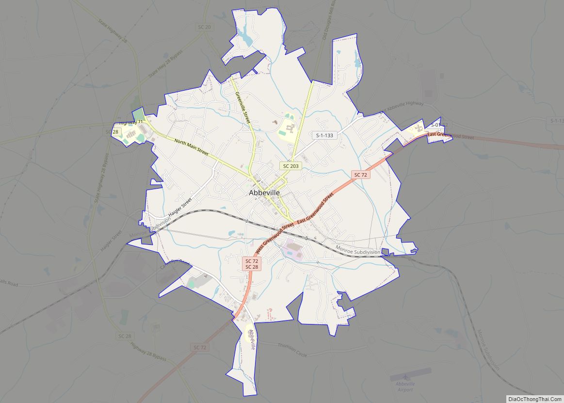
Map of South Carolina State and its subdivision:- Abbeville
- Aiken
- Allendale
- Anderson
- Bamberg
- Barnwell
- Beaufort
- Berkeley
- Calhoun
- Charleston
- Cherokee
- Chester
- Chesterfield
- Clarendon
- Colleton
- Darlington
- Dillon
- Dorchester
- Edgefield
- Fairfield
- Florence
- Georgetown
- Greenville
- Greenwood
- Hampton
- Horry
- Jasper
- Kershaw
- Lancaster
- Laurens
- Lee
- Lexington
- Marion
- Marlboro
- McCormick
- Newberry
- Oconee
- Orangeburg
- Pickens
- Richland
- Saluda
- Spartanburg
- Sumter
- Union
- Williamsburg
- York
- Alabama
- Alaska
- Arizona
- Arkansas
- California
- Colorado
- Connecticut
- Delaware
- District of Columbia
- Florida
- Georgia
- Hawaii
- Idaho
- Illinois
- Indiana
- Iowa
- Kansas
- Kentucky
- Louisiana
- Maine
- Maryland
- Massachusetts
- Michigan
- Minnesota
- Mississippi
- Missouri
- Montana
- Nebraska
- Nevada
- New Hampshire
- New Jersey
- New Mexico
- New York
- North Carolina
- North Dakota
- Ohio
- Oklahoma
- Oregon
- Pennsylvania
- Rhode Island
- South Carolina
- South Dakota
- Tennessee
- Texas
- Utah
- Vermont
- Virginia
- Washington
- West Virginia
- Wisconsin
- Wyoming