Lake City is a city in Florence County, South Carolina, United States. The population was 6,675 at the 2010 census. Located in central South Carolina, it is south of Florence and included as part of the Florence Metropolitan Statistical Area.
| Name: | Lake City city |
|---|---|
| LSAD Code: | 25 |
| LSAD Description: | city (suffix) |
| State: | South Carolina |
| County: | Florence County |
| Elevation: | 75 ft (23 m) |
| Total Area: | 5.46 sq mi (14.13 km²) |
| Land Area: | 5.45 sq mi (14.11 km²) |
| Water Area: | 0.01 sq mi (0.02 km²) |
| Total Population: | 5,903 |
| Population Density: | 1,083.32/sq mi (418.31/km²) |
| ZIP code: | 29560 |
| Area code: | 843, 854 |
| FIPS code: | 4539310 |
| GNISfeature ID: | 1246275 |
| Website: | www.lakecitysc.gov |
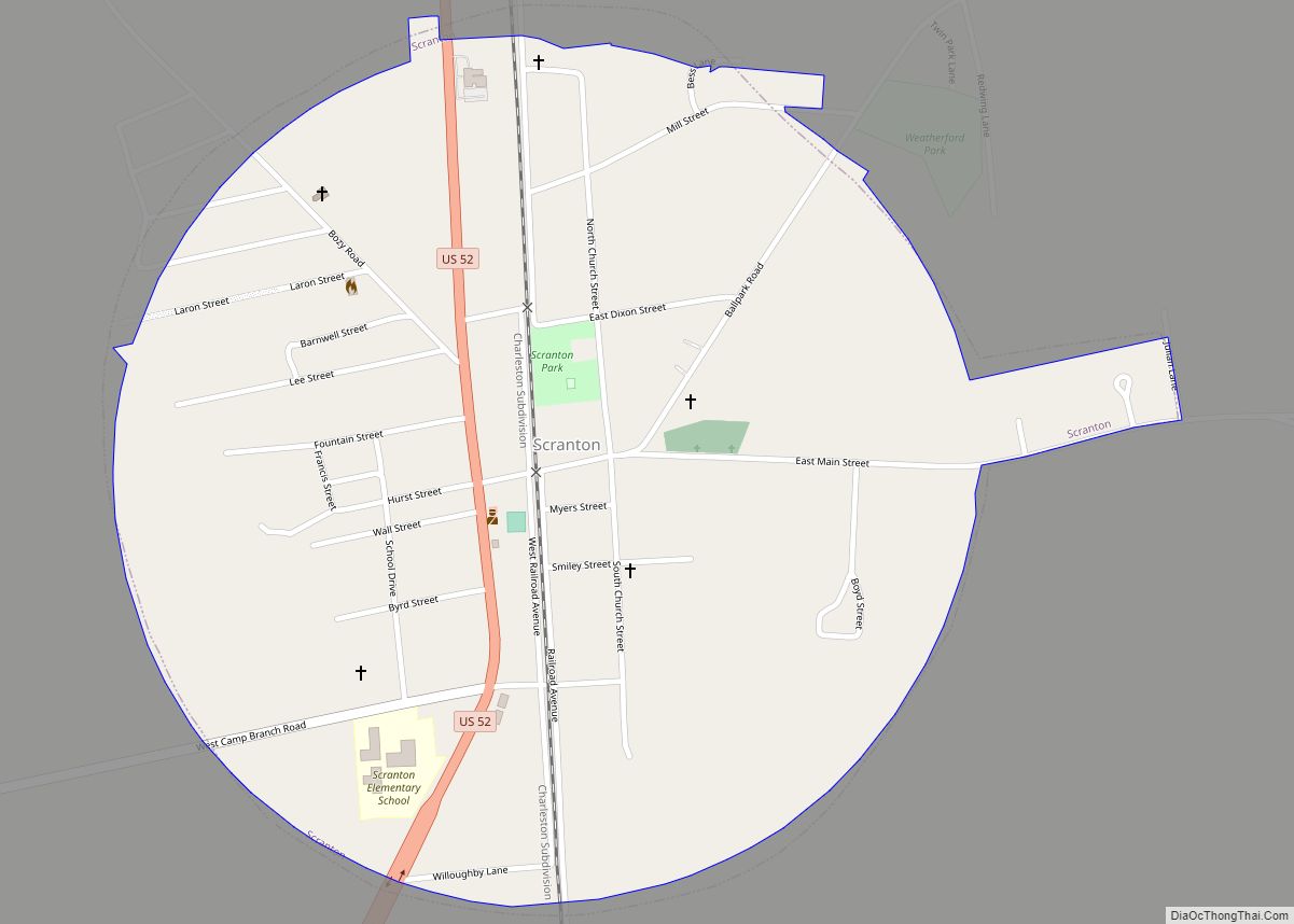
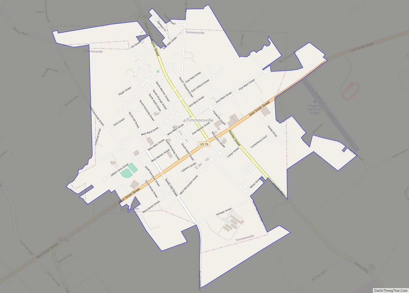
Online Interactive Map
Click on ![]() to view map in "full screen" mode.
to view map in "full screen" mode.
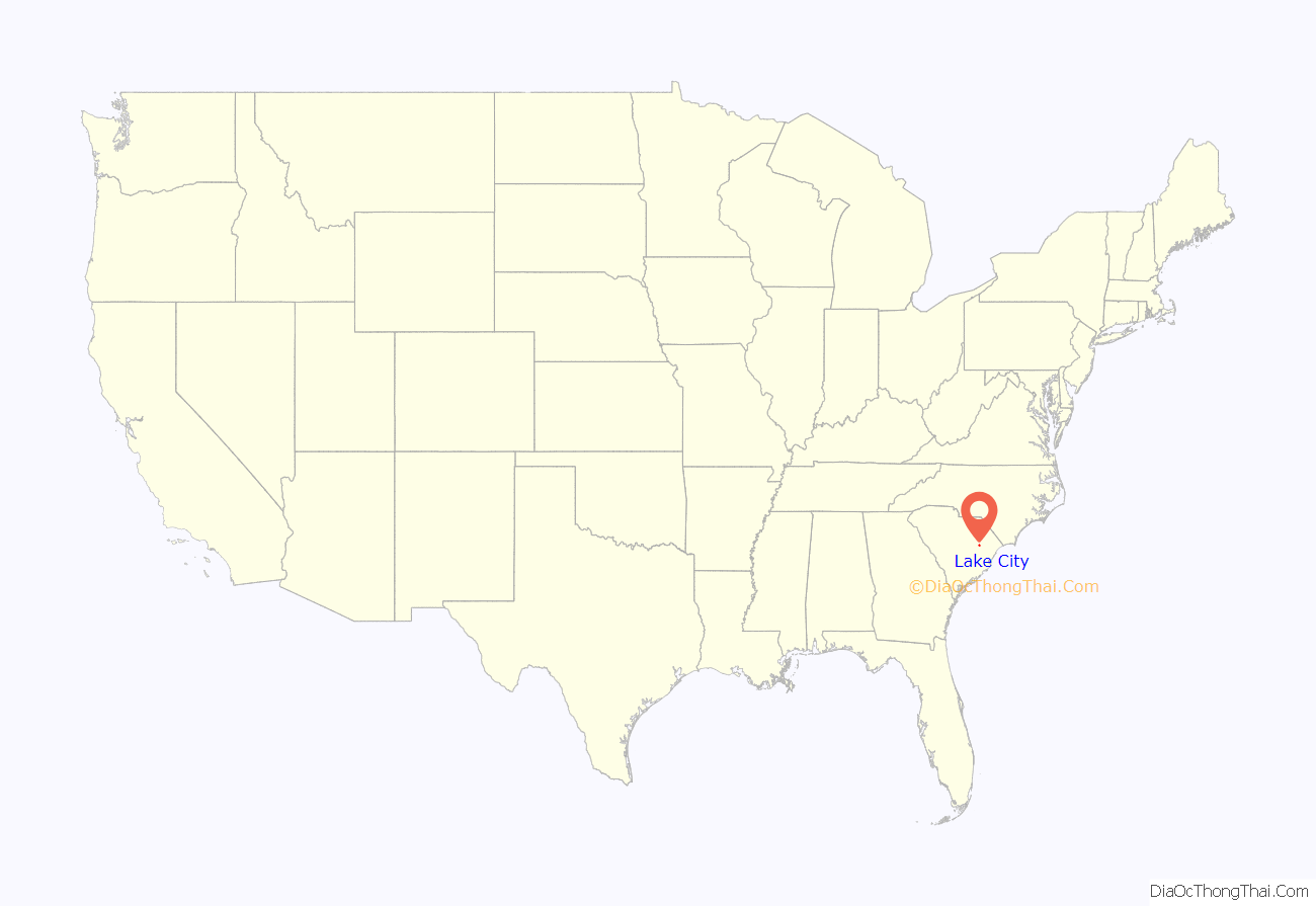
Lake City location map. Where is Lake City city?
History
The Lake City area was originally part of Williamsburg Township, which was first settled by a group of Scots-Irish in 1736. It was first called “Graham’s Crossroads” and then “Graham”, after Aaron Graham, a land owner around the crossroads that now form Church and Main streets in Lake City.
In 1856, the Northeastern Railroad built its main line through the area. This brought new growth to the community. On March 4, 1874, after requests from residents, a city charter was granted to the new town of Graham. On December 24, 1883, the town changed its name to “Lake City”, after the swimming lakes just north of town. This was at the request of the locally-serving Lynches Lake Post Office, since there was another post office in South Carolina known as that.
This small town had a population of 300 in 1893, and by 1898 the area had become the leading strawberry cropland in South Carolina.
Lake City was the site of a notorious lynching on February 22, 1898, that resulted in the mob murders of the city’s black postmaster and his infant daughter.
Lake City was at one time called the “Bean Capital of the World”, and the Bean Market downtown has now been converted into an event rental and civic center facility. The building was built in 1936 by the Public Works Administration (PWA), and was a central hub for farmers across the South to get their beans to market. The building is listed in the National Register of Historic Places as a contributing property in the Lake City Downtown Historic District. Also listed on the National Register of Historical Places is the W.T. Askins House.
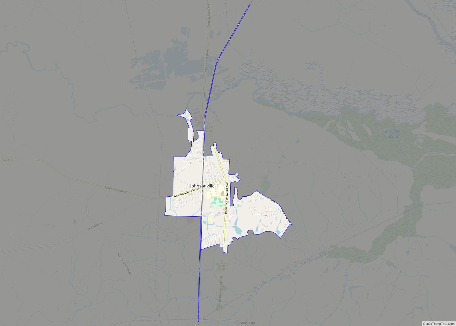
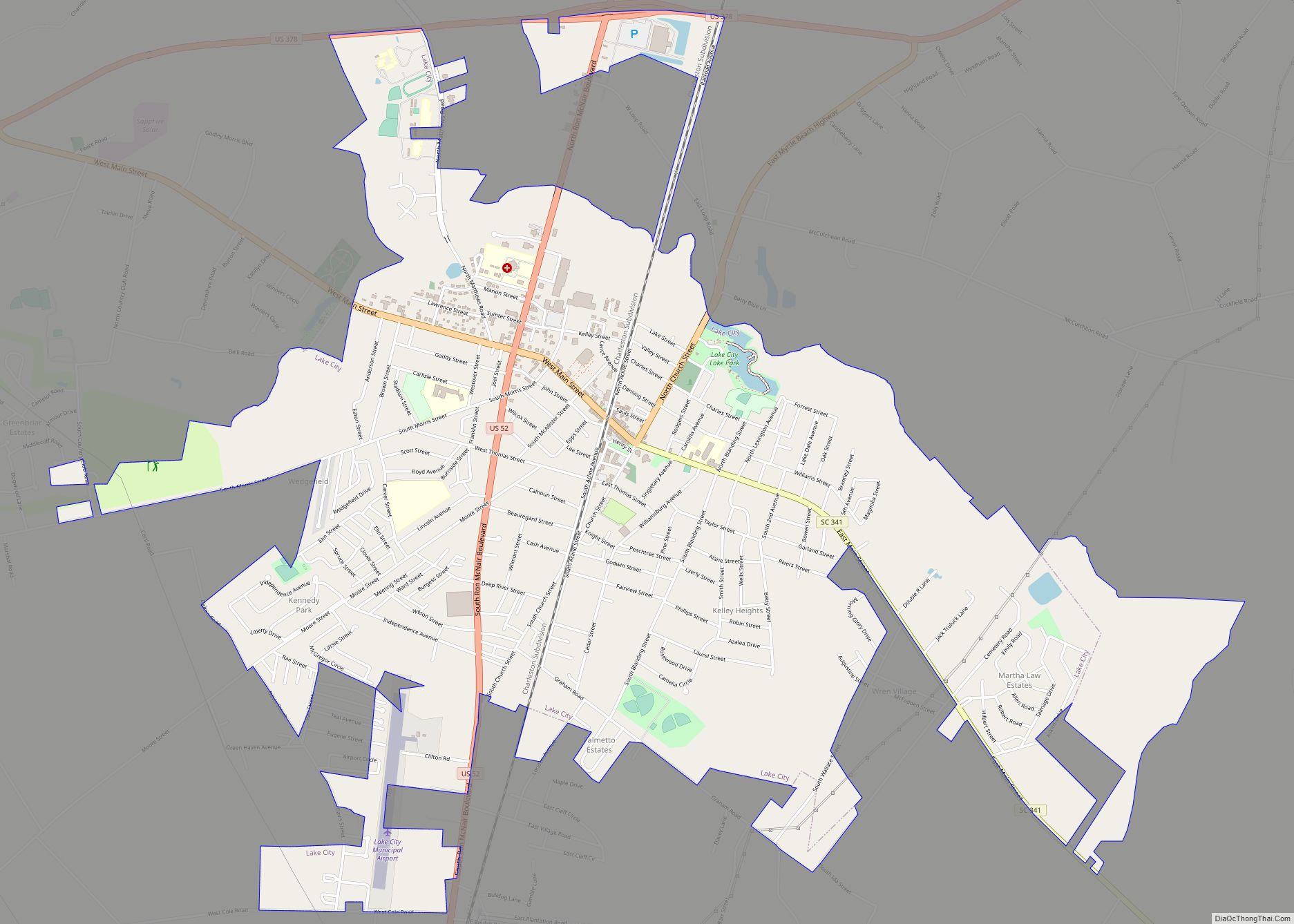
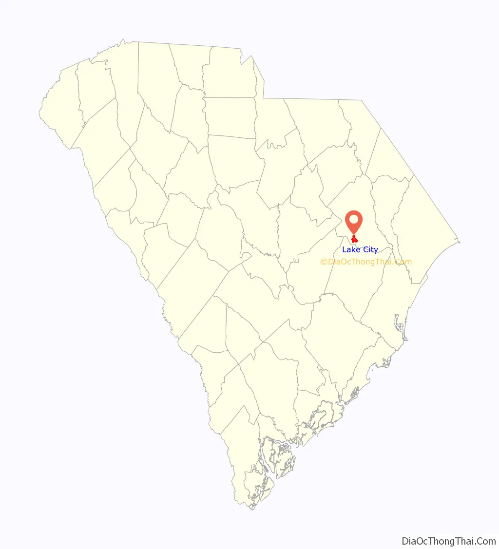
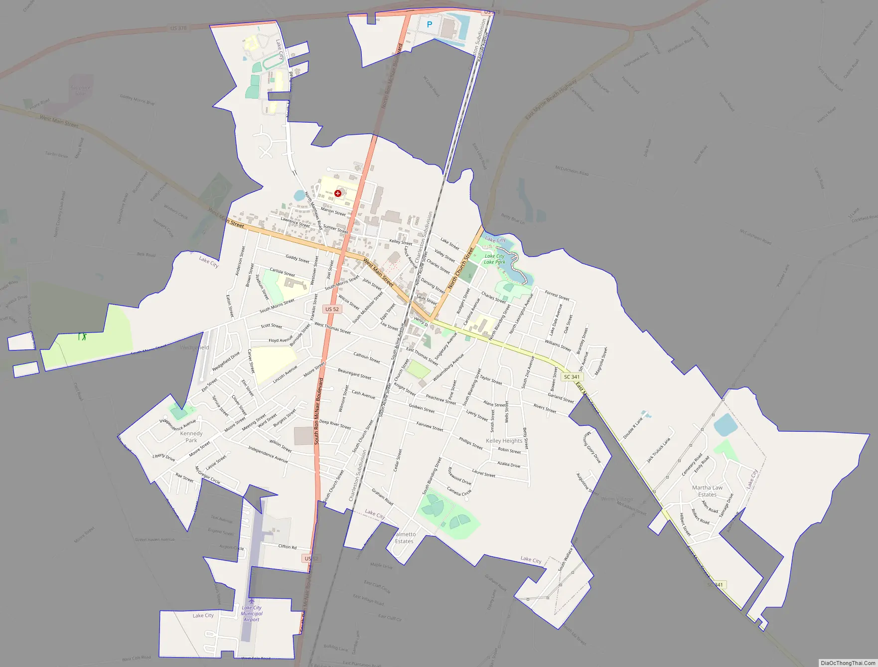
Lake City Road Map
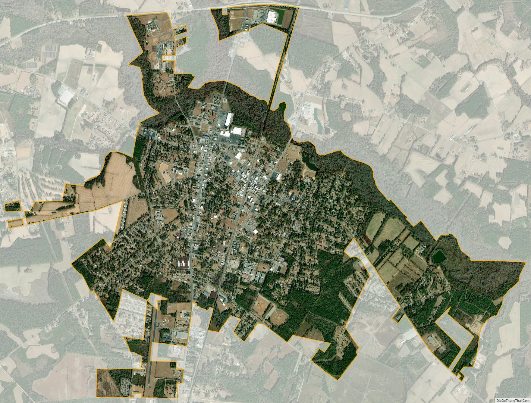
Lake City city Satellite Map
Geography
Lake City is located in southern Florence County at 33°52′4″N 79°45′22″W / 33.86778°N 79.75611°W / 33.86778; -79.75611 (33.867697, -79.756153). U.S. Route 52 is the main highway through the city, leading north 24 miles (39 km) to Florence, the county seat, and south 17 miles (27 km) to Kingstree. U.S. Route 378 crosses US 52 1.5 miles (2.4 km) north of the city center, leading east 45 miles (72 km) to Conway and west 35 miles (56 km) to Sumter.
According to the United States Census Bureau, Lake City has a total area of 5.2 square miles (13.5 km), of which 0.01 square miles (0.02 km), or 0.15%, is water. Lake Swamp drains the northern part of the city, flowing east to the Lynches River and then the Pee Dee River.
See also
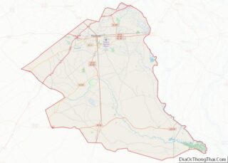
Map of South Carolina State and its subdivision:- Abbeville
- Aiken
- Allendale
- Anderson
- Bamberg
- Barnwell
- Beaufort
- Berkeley
- Calhoun
- Charleston
- Cherokee
- Chester
- Chesterfield
- Clarendon
- Colleton
- Darlington
- Dillon
- Dorchester
- Edgefield
- Fairfield
- Florence
- Georgetown
- Greenville
- Greenwood
- Hampton
- Horry
- Jasper
- Kershaw
- Lancaster
- Laurens
- Lee
- Lexington
- Marion
- Marlboro
- McCormick
- Newberry
- Oconee
- Orangeburg
- Pickens
- Richland
- Saluda
- Spartanburg
- Sumter
- Union
- Williamsburg
- York
- Alabama
- Alaska
- Arizona
- Arkansas
- California
- Colorado
- Connecticut
- Delaware
- District of Columbia
- Florida
- Georgia
- Hawaii
- Idaho
- Illinois
- Indiana
- Iowa
- Kansas
- Kentucky
- Louisiana
- Maine
- Maryland
- Massachusetts
- Michigan
- Minnesota
- Mississippi
- Missouri
- Montana
- Nebraska
- Nevada
- New Hampshire
- New Jersey
- New Mexico
- New York
- North Carolina
- North Dakota
- Ohio
- Oklahoma
- Oregon
- Pennsylvania
- Rhode Island
- South Carolina
- South Dakota
- Tennessee
- Texas
- Utah
- Vermont
- Virginia
- Washington
- West Virginia
- Wisconsin
- Wyoming