Lugoff (/ˈljuːɡɒf/ LEW-gof) is an unincorporated community and census-designated place (CDP) in Kershaw County, South Carolina, United States. The population was 7,434 at the 2010 census, up from 6,278 at the 2000 census. It is part of the Columbia, South Carolina Metropolitan Statistical Area.
| Name: | Lugoff CDP |
|---|---|
| LSAD Code: | 57 |
| LSAD Description: | CDP (suffix) |
| State: | South Carolina |
| County: | Kershaw County |
| Elevation: | 262 ft (80 m) |
| Total Area: | 23.07 sq mi (59.76 km²) |
| Land Area: | 22.78 sq mi (59.00 km²) |
| Water Area: | 0.29 sq mi (0.76 km²) |
| Total Population: | 9,990 |
| Population Density: | 438.58/sq mi (169.34/km²) |
| ZIP code: | 29078 |
| Area code: | 803, 839 |
| FIPS code: | 4543000 |
| GNISfeature ID: | 1231510 |
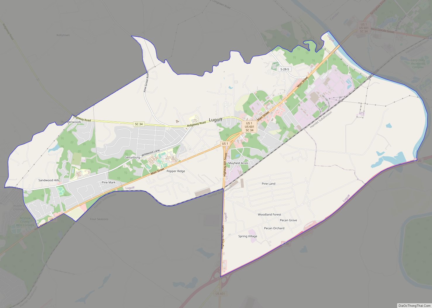
Online Interactive Map
Click on ![]() to view map in "full screen" mode.
to view map in "full screen" mode.
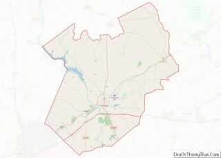
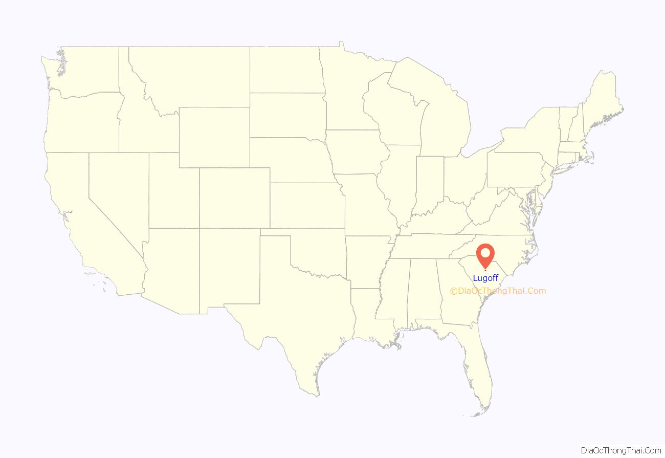
Lugoff location map. Where is Lugoff CDP?

History
Lugoff was named for Count Lugoff. The Count was a Russian engineer who worked on construction of the Seaboard Air Line Railway in 1899. The railroad had a station in Lugoff.
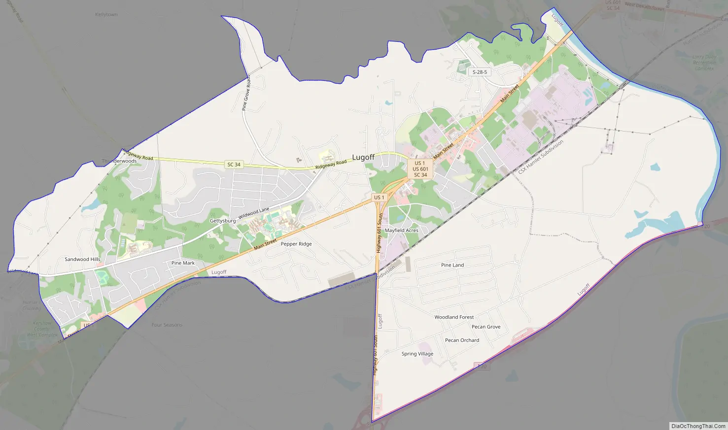
Lugoff Road Map
Lugoff city Satellite Map

Geography
Lugoff is located 5 miles (8 km) southwest of Camden, the Kershaw county seat, and 2.5 miles (4.0 km) west of the Wateree River.
According to the United States Census Bureau, the CDP has a total area of 15.3 square miles (39.6 km), of which 15.0 square miles (38.9 km) are land and 0.6 square kilometres (0.2 sq mi), or 1.64%, are water.
See also
Map of South Carolina State and its subdivision:- Abbeville
- Aiken
- Allendale
- Anderson
- Bamberg
- Barnwell
- Beaufort
- Berkeley
- Calhoun
- Charleston
- Cherokee
- Chester
- Chesterfield
- Clarendon
- Colleton
- Darlington
- Dillon
- Dorchester
- Edgefield
- Fairfield
- Florence
- Georgetown
- Greenville
- Greenwood
- Hampton
- Horry
- Jasper
- Kershaw
- Lancaster
- Laurens
- Lee
- Lexington
- Marion
- Marlboro
- McCormick
- Newberry
- Oconee
- Orangeburg
- Pickens
- Richland
- Saluda
- Spartanburg
- Sumter
- Union
- Williamsburg
- York
- Alabama
- Alaska
- Arizona
- Arkansas
- California
- Colorado
- Connecticut
- Delaware
- District of Columbia
- Florida
- Georgia
- Hawaii
- Idaho
- Illinois
- Indiana
- Iowa
- Kansas
- Kentucky
- Louisiana
- Maine
- Maryland
- Massachusetts
- Michigan
- Minnesota
- Mississippi
- Missouri
- Montana
- Nebraska
- Nevada
- New Hampshire
- New Jersey
- New Mexico
- New York
- North Carolina
- North Dakota
- Ohio
- Oklahoma
- Oregon
- Pennsylvania
- Rhode Island
- South Carolina
- South Dakota
- Tennessee
- Texas
- Utah
- Vermont
- Virginia
- Washington
- West Virginia
- Wisconsin
- Wyoming