Lyman is a town in Spartanburg County, South Carolina, United States. Its population was 6,173 at the 2020 census.
| Name: | Lyman town |
|---|---|
| LSAD Code: | 43 |
| LSAD Description: | town (suffix) |
| State: | South Carolina |
| County: | Spartanburg County |
| Incorporated: | 1954 |
| Elevation: | 886 ft (270 m) |
| Total Area: | 7.30 sq mi (18.91 km²) |
| Land Area: | 6.63 sq mi (17.16 km²) |
| Water Area: | 0.68 sq mi (1.75 km²) |
| Total Population: | 6,173 |
| Population Density: | 931.63/sq mi (359.71/km²) |
| ZIP code: | 29365 |
| Area code: | 864 |
| FIPS code: | 4543315 |
| GNISfeature ID: | 1246490 |
| Website: | www.lymansc.gov |
Online Interactive Map
Click on ![]() to view map in "full screen" mode.
to view map in "full screen" mode.
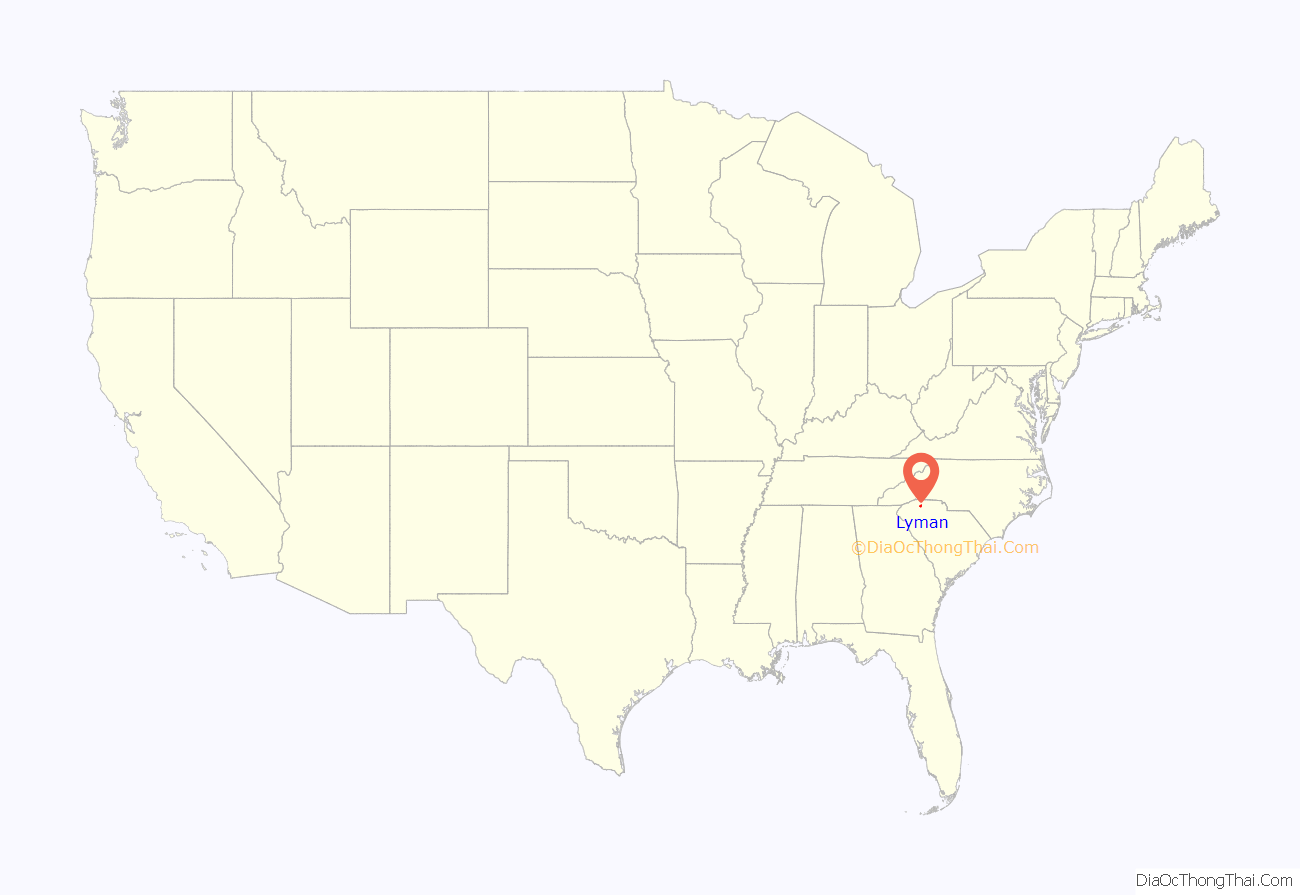
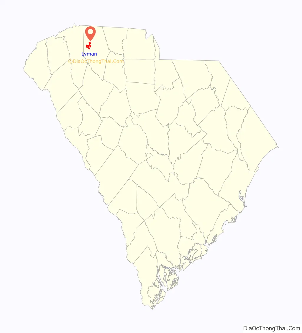
Lyman location map. Where is Lyman town?
History
The town of Lyman originally grew around a general store owned by Augustus Belton Groce, which opened in the mid-1870s. This led to the community becoming known as Groce’s Stop. In 1923, the Groce family sold over 700 acres (280 ha) to Pacific Mills. By the following year the Lyman Printing and Finishing Mill had been constructed, and by 1927, Pacific Mills had built 375 homes as housing for their employees. The town was then renamed in memory of Arthur T. Lyman, a former president of the mill. Lyman prospered for years as a textile town, but by 2005 the last mill was closed.
The Pacific Mills company kept up their employees’ houses, the streets and the back alleys. The back alleys were dirt, so crews from the plant would bring dump trucks of cinders from the burnt coal at the boiler room, and spread them up and down the back alleys to keep them from getting muddy. The houses were finished on the outside, with cypress wood for the underpinning. In the late 1940s the company removed the lattice-work and put brick underpinning in its place. The houses were four, five and six room houses with modern designs. Pacific Mills broke from the usual, salt-box style house design of most cotton mill villages. When the village of Lyman was built, it was a showcase for cotton mill villages. Ridge Road was set aside for the executive staff of the company. The houses there were made out of the same materials as the other houses, but they were larger and of nicer designs.
Neighborhoods of Pacific Mills
When Pacific Mills built the village of Lyman, they laid water mains and sewer pipes under the streets. All of the houses and buildings were hooked up to these. They therefore had indoor plumbing, with running water and sewage disposal (which in 1923 could have been considered a luxury item), then a rarity for many people in South Carolina. The sewage pipes ran from the village down to a concrete holding tank next to the river, across from where the library is today.
McMakin’s Tavern was listed on the National Register of Historic Places in 1974.
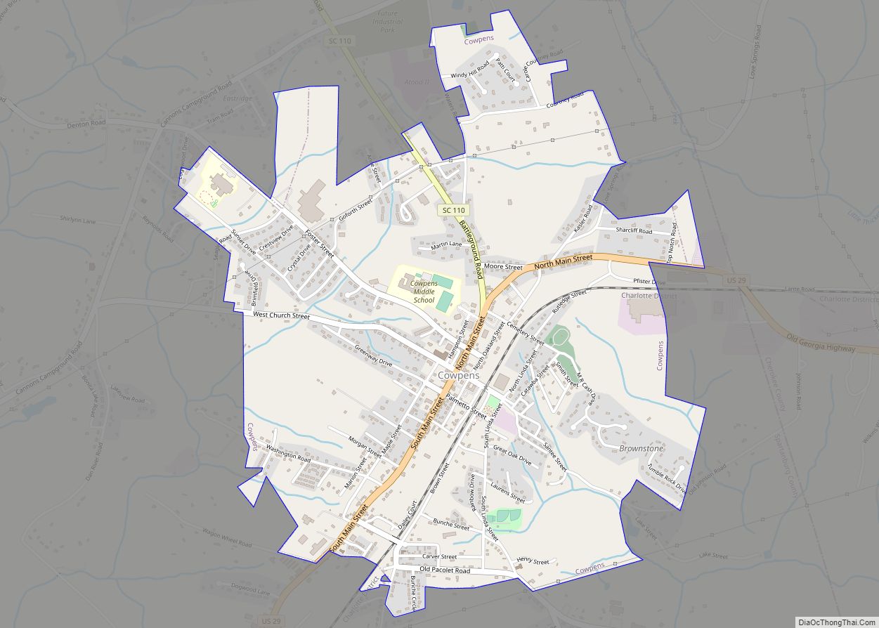
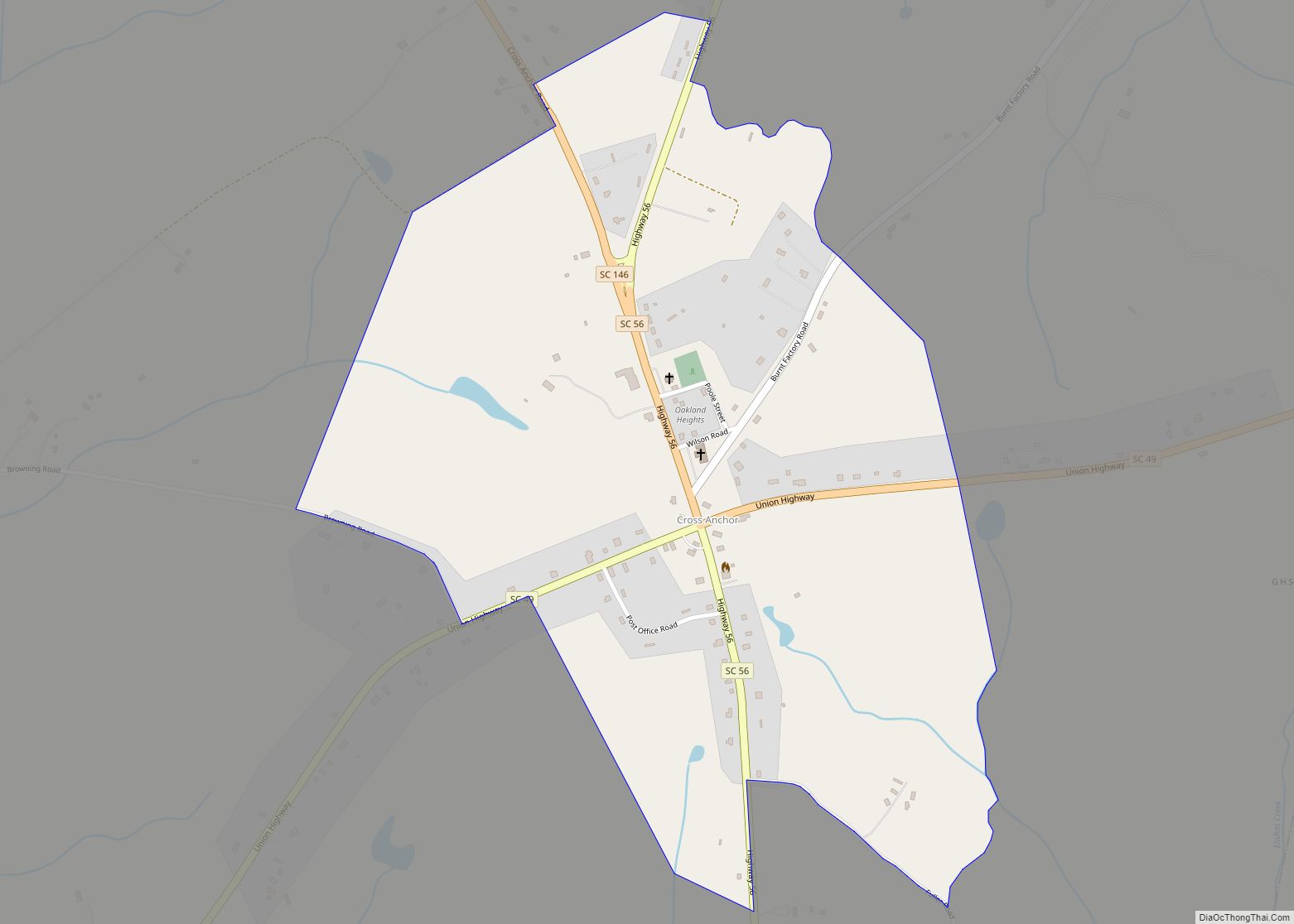
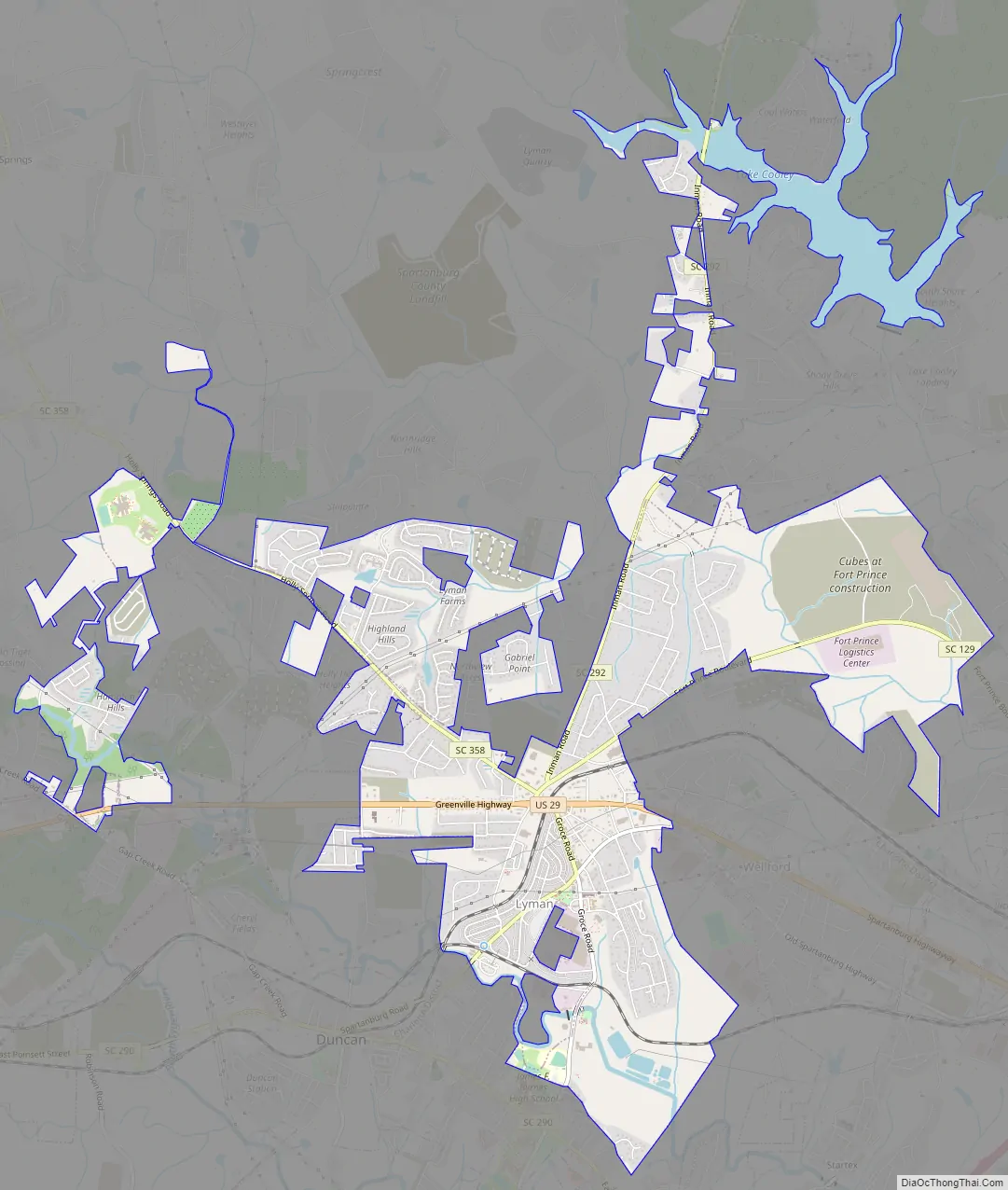
Lyman Road Map
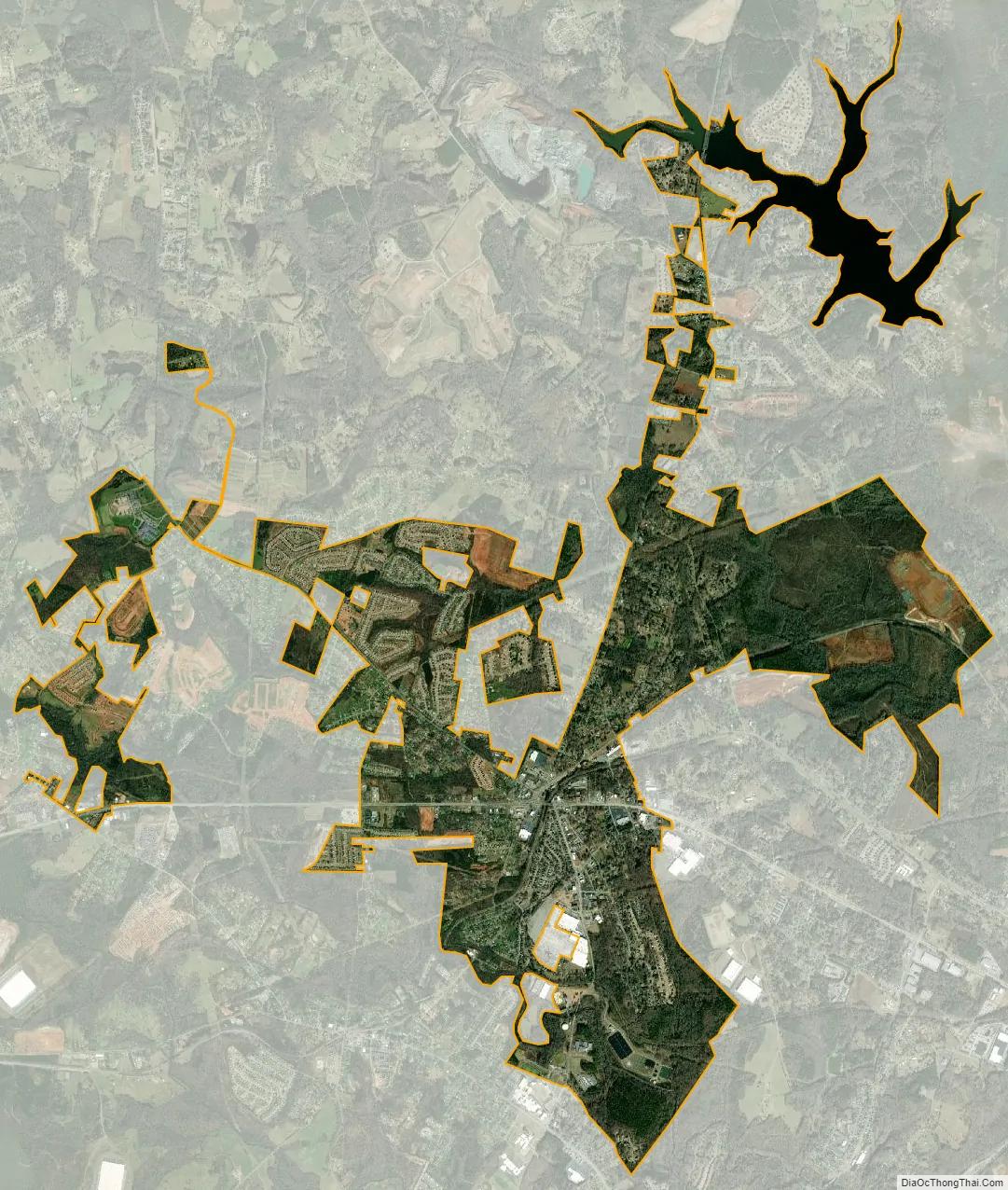
Lyman city Satellite Map
Geography
Lyman is located at 34°57′23″N 82°7′28″W / 34.95639°N 82.12444°W / 34.95639; -82.12444 (34.956343, -82.124559).
According to the United States Census Bureau, the town has a total area of 4.1 square miles (11 km), of which 0.25% is water.
See also
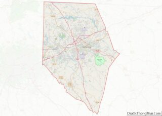
Map of South Carolina State and its subdivision:- Abbeville
- Aiken
- Allendale
- Anderson
- Bamberg
- Barnwell
- Beaufort
- Berkeley
- Calhoun
- Charleston
- Cherokee
- Chester
- Chesterfield
- Clarendon
- Colleton
- Darlington
- Dillon
- Dorchester
- Edgefield
- Fairfield
- Florence
- Georgetown
- Greenville
- Greenwood
- Hampton
- Horry
- Jasper
- Kershaw
- Lancaster
- Laurens
- Lee
- Lexington
- Marion
- Marlboro
- McCormick
- Newberry
- Oconee
- Orangeburg
- Pickens
- Richland
- Saluda
- Spartanburg
- Sumter
- Union
- Williamsburg
- York
- Alabama
- Alaska
- Arizona
- Arkansas
- California
- Colorado
- Connecticut
- Delaware
- District of Columbia
- Florida
- Georgia
- Hawaii
- Idaho
- Illinois
- Indiana
- Iowa
- Kansas
- Kentucky
- Louisiana
- Maine
- Maryland
- Massachusetts
- Michigan
- Minnesota
- Mississippi
- Missouri
- Montana
- Nebraska
- Nevada
- New Hampshire
- New Jersey
- New Mexico
- New York
- North Carolina
- North Dakota
- Ohio
- Oklahoma
- Oregon
- Pennsylvania
- Rhode Island
- South Carolina
- South Dakota
- Tennessee
- Texas
- Utah
- Vermont
- Virginia
- Washington
- West Virginia
- Wisconsin
- Wyoming