North Myrtle Beach is a city in Horry County, South Carolina, United States. It was created in 1968 from four existing municipalities, and is located about 15 miles (24 km) northeast of Myrtle Beach. It serves as one of the primary tourist destinations along the Grand Strand. As of the 2010 census, the population was 13,752, and in 2019 the estimated population was 16,819. It is part of the Myrtle Beach–Conway–North Myrtle Beach Metropolitan Statistical Area, which had a combined population of 449,295 as of 2016.
| Name: | North Myrtle Beach city |
|---|---|
| LSAD Code: | 25 |
| LSAD Description: | city (suffix) |
| State: | South Carolina |
| County: | Horry County |
| Incorporated: | 1968 |
| Elevation: | 7 ft (2 m) |
| Land Area: | 21.74 sq mi (56.30 km²) |
| Water Area: | 0.57 sq mi (1.47 km²) |
| Population Density: | 864.38/sq mi (333.75/km²) |
| ZIP code: | 29566, 29568, 29582, 29597, 29598 |
| Area code: | 843, 854 |
| FIPS code: | 4551280 |
| GNISfeature ID: | 1251574 |
| Website: | www.nmb.us |
Online Interactive Map
Click on ![]() to view map in "full screen" mode.
to view map in "full screen" mode.
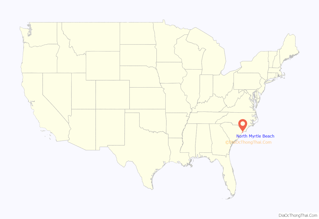
North Myrtle Beach location map. Where is North Myrtle Beach city?
History
In 1737, William Gause obtained a grant to 250 acres (100 ha) of land near Windy Hill Beach. He farmed the area and also established a tavern for travelers along the Kings Highway.
North Myrtle Beach was created in 1968 with the consolidation of Cherry Grove Beach, Crescent Beach, Ocean Drive Beach, and Windy Hill Beach.
North Myrtle Beach Road Map
North Myrtle Beach city Satellite Map
Geography
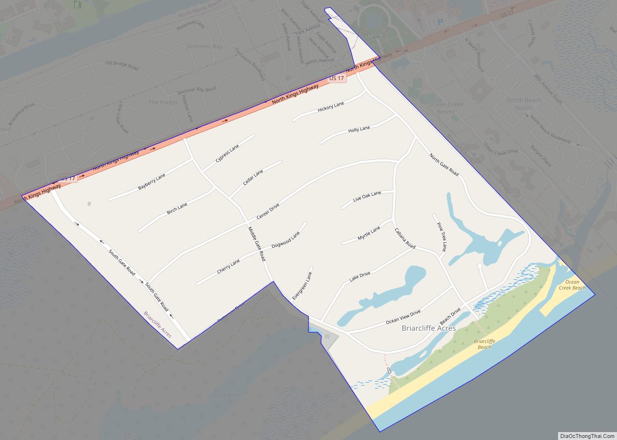
North Myrtle Beach is located in eastern Horry County. It is bordered to the southwest by Briarcliffe Acres and to the northeast by Little River. Via U.S. Route 17, it is 15 miles (24 km) northeast of Myrtle Beach and 57 miles (92 km) southwest of Wilmington, North Carolina. Via South Carolina Highway 9 it is 67 miles (108 km) southeast of Interstate 95 near Dillon, South Carolina.
According to the United States Census Bureau, the city has a total area of 17.7 square miles (45.8 km), of which 17.1 square miles (44.3 km) are land and 0.62 square miles (1.6 km), or 3.39%, are water.
The area is divided into four separate areas based on its former municipalities. These are Windy Hill, Crescent Beach, Ocean Drive, and Cherry Grove, a spit bordering North Carolina. Atlantic Beach, which is bordered on three sides by North Myrtle Beach, chose to remain its own town during the merger.
Neighborhoods
- Barefoot
- Bell’s Lake
- Cherry Grove Beach
- Crescent Beach
- Ingram Beach
- Little River Neck
- Ocean Creek
- Ocean Drive Beach
- Park Pointe
- Seabrook Plantation
- Tidewater
- Windy Hill Beach
See also
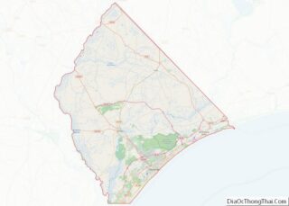
Map of South Carolina State and its subdivision:- Abbeville
- Aiken
- Allendale
- Anderson
- Bamberg
- Barnwell
- Beaufort
- Berkeley
- Calhoun
- Charleston
- Cherokee
- Chester
- Chesterfield
- Clarendon
- Colleton
- Darlington
- Dillon
- Dorchester
- Edgefield
- Fairfield
- Florence
- Georgetown
- Greenville
- Greenwood
- Hampton
- Horry
- Jasper
- Kershaw
- Lancaster
- Laurens
- Lee
- Lexington
- Marion
- Marlboro
- McCormick
- Newberry
- Oconee
- Orangeburg
- Pickens
- Richland
- Saluda
- Spartanburg
- Sumter
- Union
- Williamsburg
- York
- Alabama
- Alaska
- Arizona
- Arkansas
- California
- Colorado
- Connecticut
- Delaware
- District of Columbia
- Florida
- Georgia
- Hawaii
- Idaho
- Illinois
- Indiana
- Iowa
- Kansas
- Kentucky
- Louisiana
- Maine
- Maryland
- Massachusetts
- Michigan
- Minnesota
- Mississippi
- Missouri
- Montana
- Nebraska
- Nevada
- New Hampshire
- New Jersey
- New Mexico
- New York
- North Carolina
- North Dakota
- Ohio
- Oklahoma
- Oregon
- Pennsylvania
- Rhode Island
- South Carolina
- South Dakota
- Tennessee
- Texas
- Utah
- Vermont
- Virginia
- Washington
- West Virginia
- Wisconsin
- Wyoming
