Paxville is a town in Clarendon County, South Carolina, United States. The population was 185 at the 2010 census, down from 248 in 2000. The town was named after Joseph Pack.
Joseph Pack and his wife, Louisa Alexandria Pack, arrived in America from England in the year 1770. He became one of the most extensive land holders in the Carolina Low Country, having acquired more than 10,000 acres (4,000 ha) of land. He helped found the town of Packsville (later renamed Paxville in 1902). Paxville is believed to be the oldest town in Clarendon County.
Some of the land grants given to Joseph Pack were from King George III of the United Kingdom, while others were from the state of South Carolina. Some of the land grants in Paxville may have been given to Joseph as a result of his Revolutionary War service. There is a marker honoring Joseph Pack’s service with the South Carolina Militia during the Revolutionary War.
Joseph and Louisa raised a family of six boys and six girls. Joseph Pack died in 1827 and his wife Louisa followed in 1832. Joseph Pack is buried in the Paxville Cemetery.
| Name: | Paxville town |
|---|---|
| LSAD Code: | 43 |
| LSAD Description: | town (suffix) |
| State: | South Carolina |
| County: | Clarendon County |
| Elevation: | 184 ft (56 m) |
| Total Area: | 1.05 sq mi (2.72 km²) |
| Land Area: | 1.05 sq mi (2.72 km²) |
| Water Area: | 0.00 sq mi (0.00 km²) |
| Total Population: | 232 |
| Population Density: | 220.74/sq mi (85.27/km²) |
| ZIP code: | 29102 |
| Area code: | 803, 839 |
| FIPS code: | 4555060 |
| GNISfeature ID: | 1250042 |
Online Interactive Map
Click on ![]() to view map in "full screen" mode.
to view map in "full screen" mode.
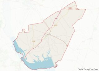
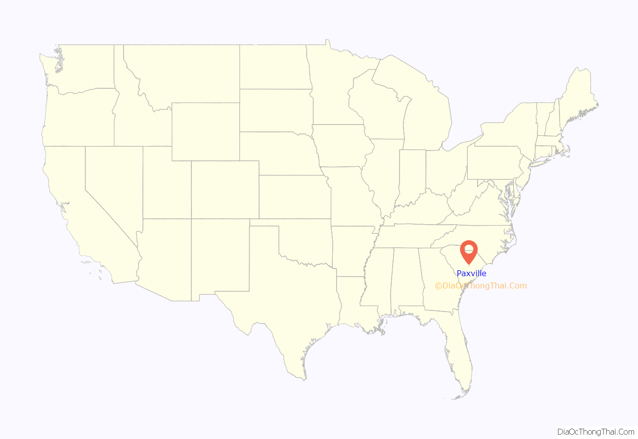
Paxville location map. Where is Paxville town?
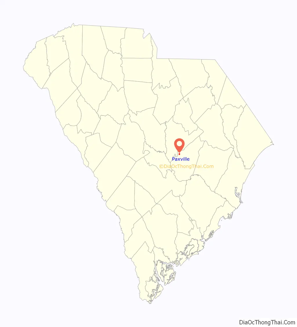
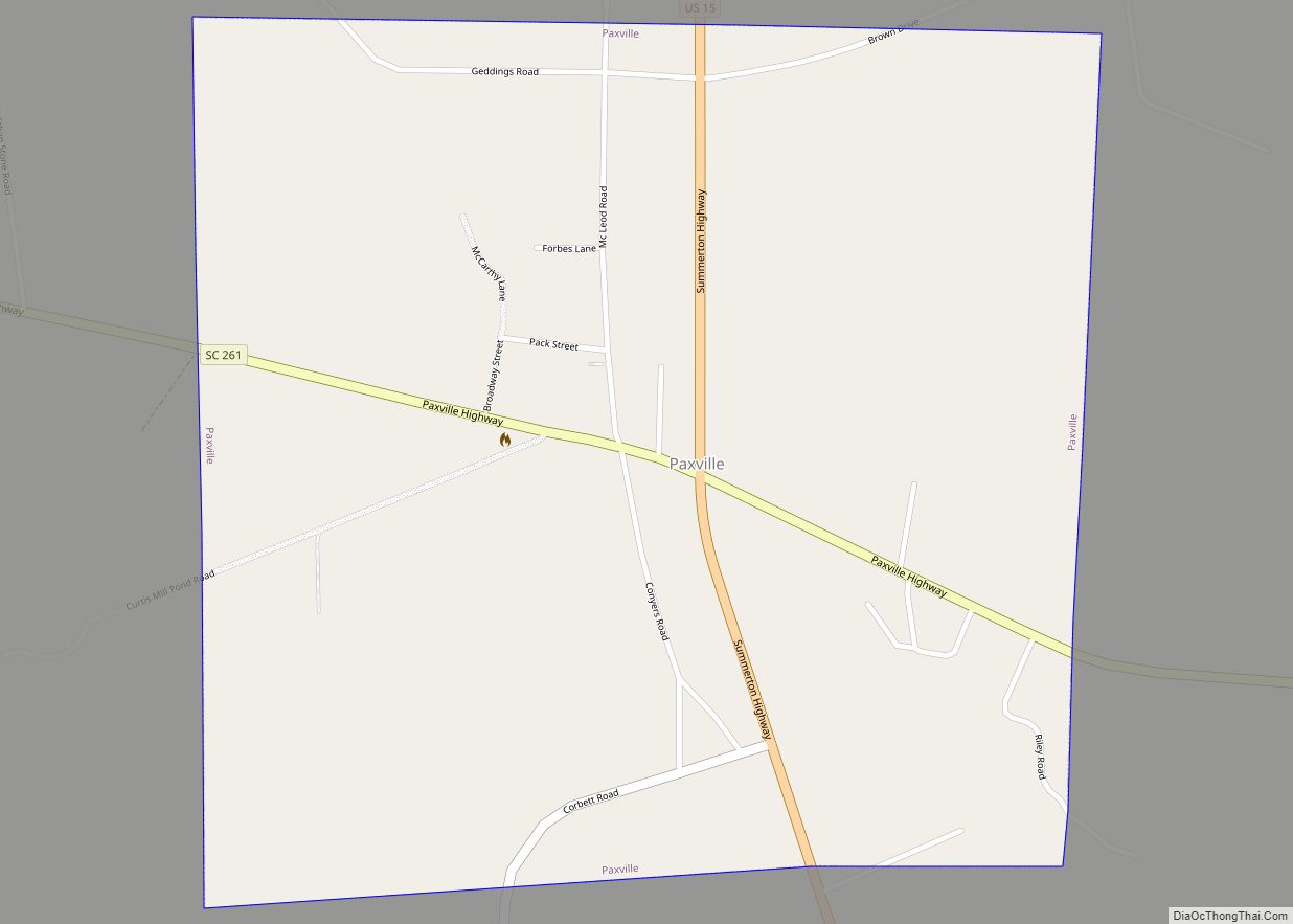
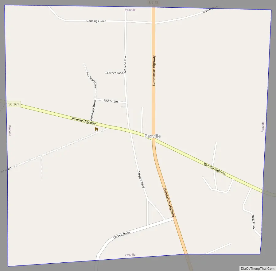
Paxville Road Map
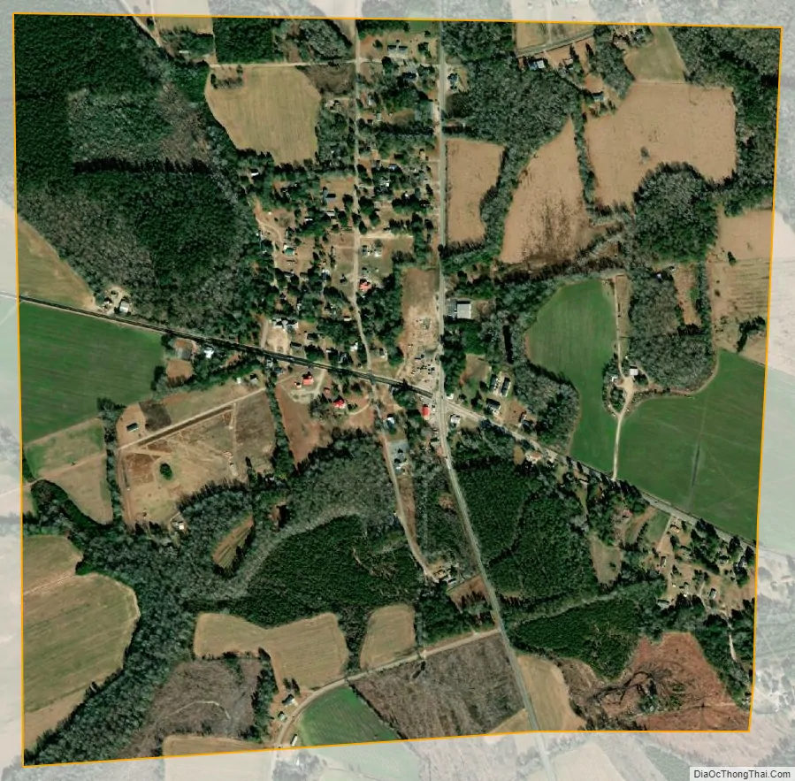
Paxville city Satellite Map
Geography
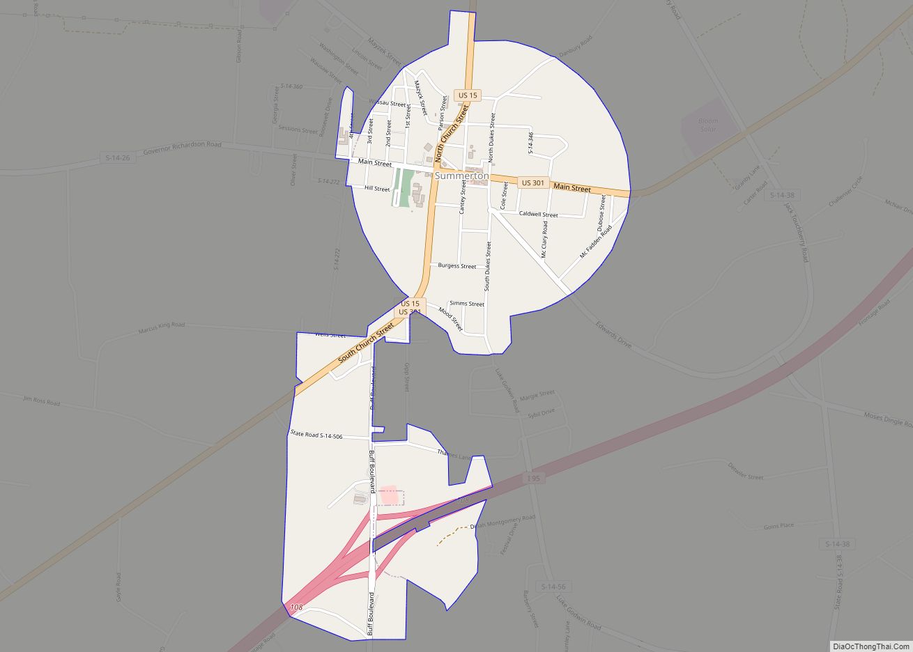
Paxville is located in western Clarendon County at 33°44′11″N 80°21′27″W / 33.736431°N 80.357497°W / 33.736431; -80.357497. U.S. Route 15 passes through the town, leading north 14 miles (23 km) to Sumter and south 9 miles (14 km) to Summerton. South Carolina Highway 261 crosses US 15 in the center of town and leads west 6 miles (10 km) to Pinewood and east 9 miles (14 km) to Manning, the county seat.
According to the United States Census Bureau, the town has a total area of 1.0 square mile (2.7 km), all land.
See also
Map of South Carolina State and its subdivision:- Abbeville
- Aiken
- Allendale
- Anderson
- Bamberg
- Barnwell
- Beaufort
- Berkeley
- Calhoun
- Charleston
- Cherokee
- Chester
- Chesterfield
- Clarendon
- Colleton
- Darlington
- Dillon
- Dorchester
- Edgefield
- Fairfield
- Florence
- Georgetown
- Greenville
- Greenwood
- Hampton
- Horry
- Jasper
- Kershaw
- Lancaster
- Laurens
- Lee
- Lexington
- Marion
- Marlboro
- McCormick
- Newberry
- Oconee
- Orangeburg
- Pickens
- Richland
- Saluda
- Spartanburg
- Sumter
- Union
- Williamsburg
- York
- Alabama
- Alaska
- Arizona
- Arkansas
- California
- Colorado
- Connecticut
- Delaware
- District of Columbia
- Florida
- Georgia
- Hawaii
- Idaho
- Illinois
- Indiana
- Iowa
- Kansas
- Kentucky
- Louisiana
- Maine
- Maryland
- Massachusetts
- Michigan
- Minnesota
- Mississippi
- Missouri
- Montana
- Nebraska
- Nevada
- New Hampshire
- New Jersey
- New Mexico
- New York
- North Carolina
- North Dakota
- Ohio
- Oklahoma
- Oregon
- Pennsylvania
- Rhode Island
- South Carolina
- South Dakota
- Tennessee
- Texas
- Utah
- Vermont
- Virginia
- Washington
- West Virginia
- Wisconsin
- Wyoming