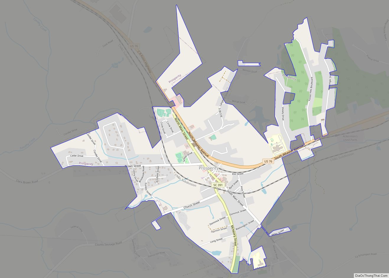
Prosperity is a town in Newberry County, South Carolina, United States. The population was 1,180 at the 2010 census.
| Name: | Prosperity town |
|---|---|
| LSAD Code: | 43 |
| LSAD Description: | town (suffix) |
| State: | South Carolina |
| County: | Newberry County |
| Elevation: | 541 ft (165 m) |
| Total Area: | 1.97 sq mi (5.11 km²) |
| Land Area: | 1.97 sq mi (5.11 km²) |
| Water Area: | 0.00 sq mi (0.00 km²) |
| Total Population: | 1,178 |
| Population Density: | 597.36/sq mi (230.62/km²) |
| ZIP code: | 29127 |
| Area code: | 803, 839 |
| FIPS code: | 4558705 |
| GNISfeature ID: | 1250259 |
| Website: | www.prosperitysc.com |
Online Interactive Map
Click on ![]() to view map in "full screen" mode.
to view map in "full screen" mode.
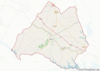
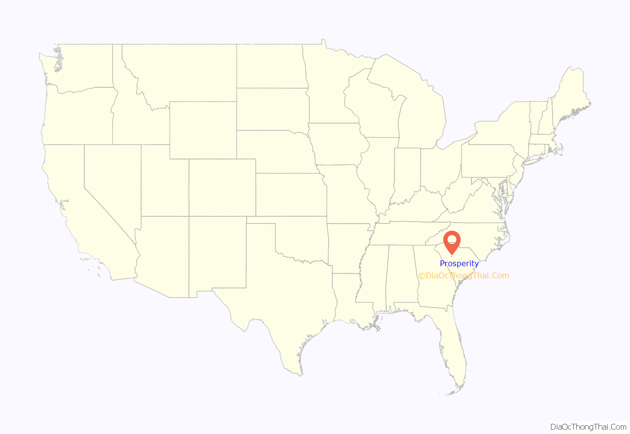
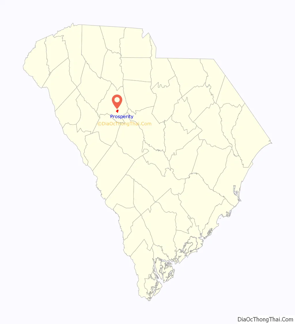
Prosperity location map. Where is Prosperity town?
History
Before being named Prosperity, the area was called Frog Level due to its low-lying location and large numbers of frogs living in adjacent ponds. Captain Matthew Hall settled in the area in 1827, and established a store and post office in the early 1830s. The town expanded with the arrival of the railroad in the 1850s, and in later decades would profit from its location along two major rail lines. After a fire destroyed part of the town in 1873, the town’s residents voted to change the name of the town to “Prosperity” after the Prosperity Associate Reformed Presbyterian Church.
The Jacob Bedenbaugh House, Howard Junior High School, and Prosperity Cemetery are listed on the National Register of Historic Places.
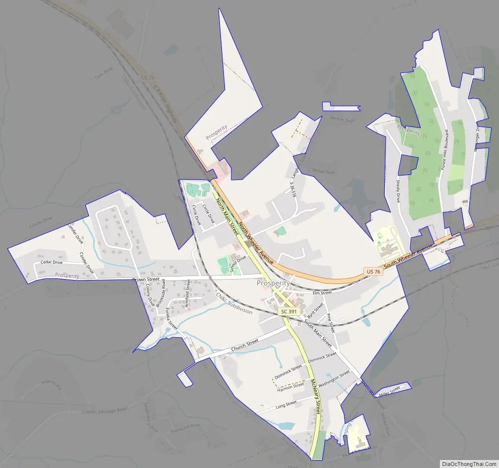
Prosperity Road Map
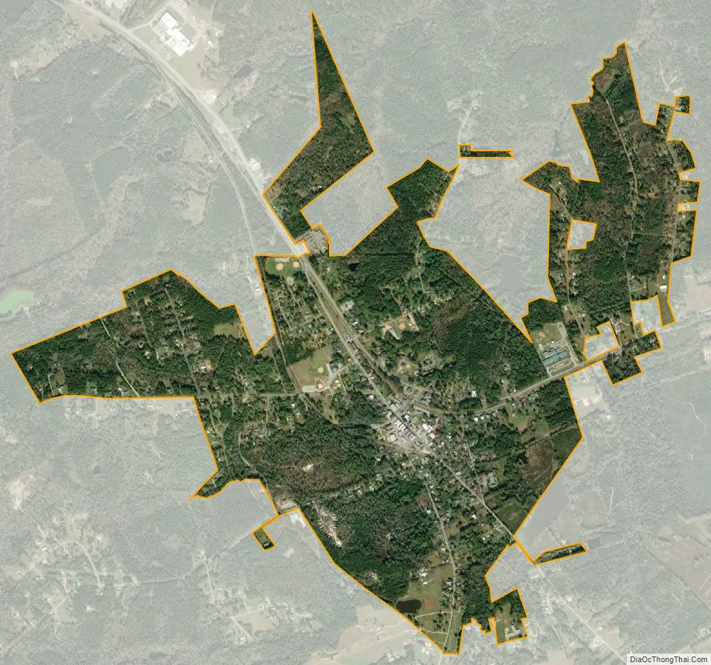
Prosperity city Satellite Map
Geography
Prosperity is located at 34°12′38″N 81°32′4″W / 34.21056°N 81.53444°W / 34.21056; -81.53444 (34.210657, -81.534347). The town is concentrated around the intersection of U.S. Route 76 and South Carolina Highway 391 northwest of Columbia. Lake Murray lies just to the south.
According to the United States Census Bureau, the town has a total area of 2.1 square miles (5.5 km), all land.
See also
Map of South Carolina State and its subdivision:- Abbeville
- Aiken
- Allendale
- Anderson
- Bamberg
- Barnwell
- Beaufort
- Berkeley
- Calhoun
- Charleston
- Cherokee
- Chester
- Chesterfield
- Clarendon
- Colleton
- Darlington
- Dillon
- Dorchester
- Edgefield
- Fairfield
- Florence
- Georgetown
- Greenville
- Greenwood
- Hampton
- Horry
- Jasper
- Kershaw
- Lancaster
- Laurens
- Lee
- Lexington
- Marion
- Marlboro
- McCormick
- Newberry
- Oconee
- Orangeburg
- Pickens
- Richland
- Saluda
- Spartanburg
- Sumter
- Union
- Williamsburg
- York
- Alabama
- Alaska
- Arizona
- Arkansas
- California
- Colorado
- Connecticut
- Delaware
- District of Columbia
- Florida
- Georgia
- Hawaii
- Idaho
- Illinois
- Indiana
- Iowa
- Kansas
- Kentucky
- Louisiana
- Maine
- Maryland
- Massachusetts
- Michigan
- Minnesota
- Mississippi
- Missouri
- Montana
- Nebraska
- Nevada
- New Hampshire
- New Jersey
- New Mexico
- New York
- North Carolina
- North Dakota
- Ohio
- Oklahoma
- Oregon
- Pennsylvania
- Rhode Island
- South Carolina
- South Dakota
- Tennessee
- Texas
- Utah
- Vermont
- Virginia
- Washington
- West Virginia
- Wisconsin
- Wyoming