Reidville is a town in Spartanburg County, South Carolina, United States. The population was 601 at the 2010 census.
| Name: | Reidville town |
|---|---|
| LSAD Code: | 43 |
| LSAD Description: | town (suffix) |
| State: | South Carolina |
| County: | Spartanburg County |
| Elevation: | 820 ft (250 m) |
| Total Area: | 1.78 sq mi (4.62 km²) |
| Land Area: | 1.76 sq mi (4.56 km²) |
| Water Area: | 0.02 sq mi (0.06 km²) |
| Total Population: | 1,634 |
| Population Density: | 927.88/sq mi (358.16/km²) |
| ZIP code: | 29375 |
| Area code: | 864 |
| FIPS code: | 4559425 |
| GNISfeature ID: | 1231716 |
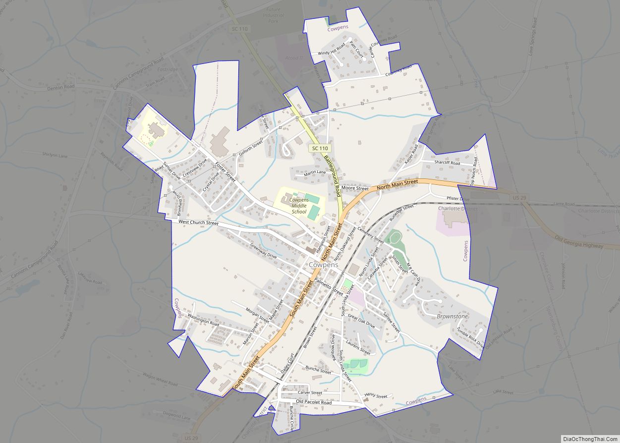
Online Interactive Map
Click on ![]() to view map in "full screen" mode.
to view map in "full screen" mode.
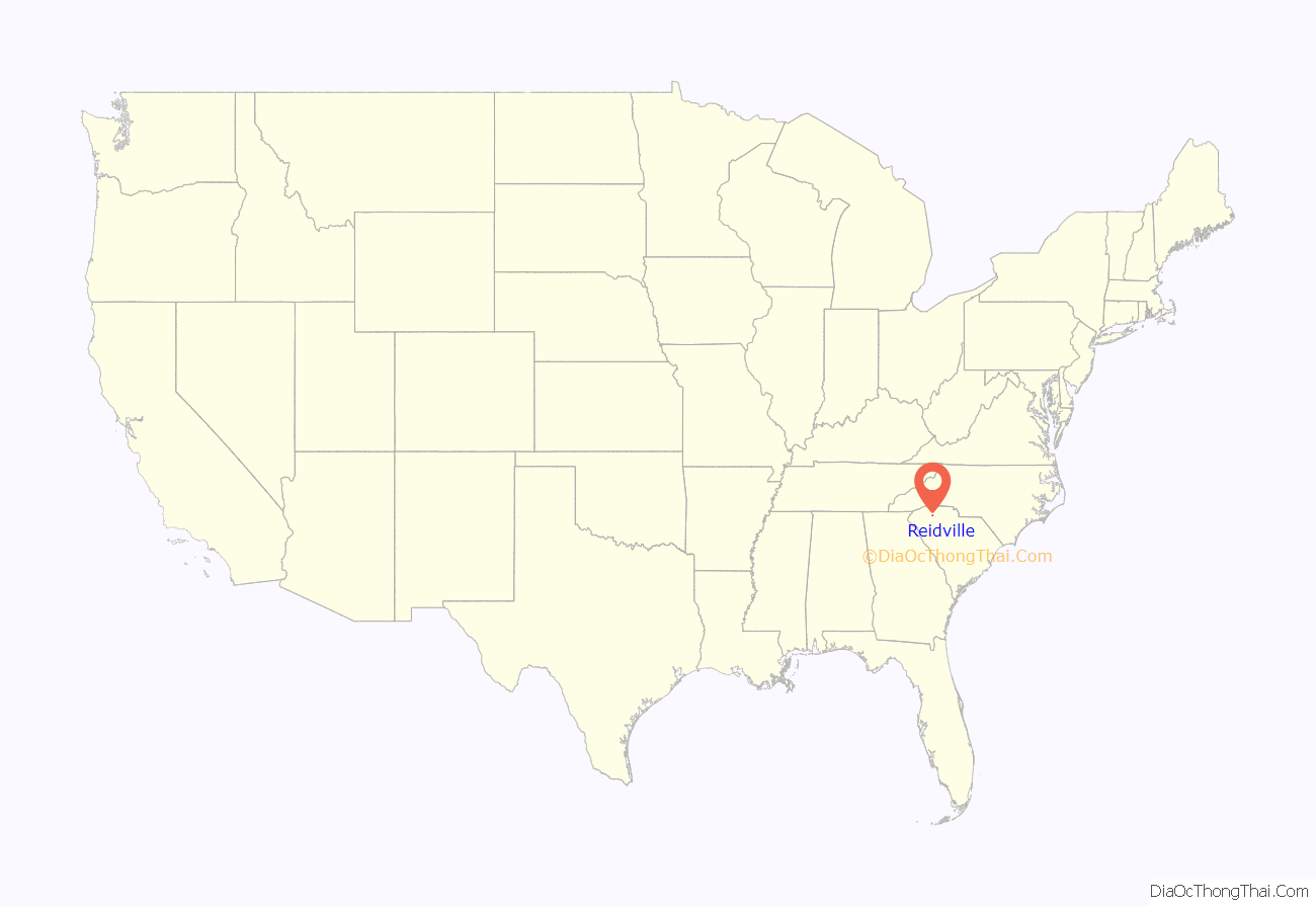
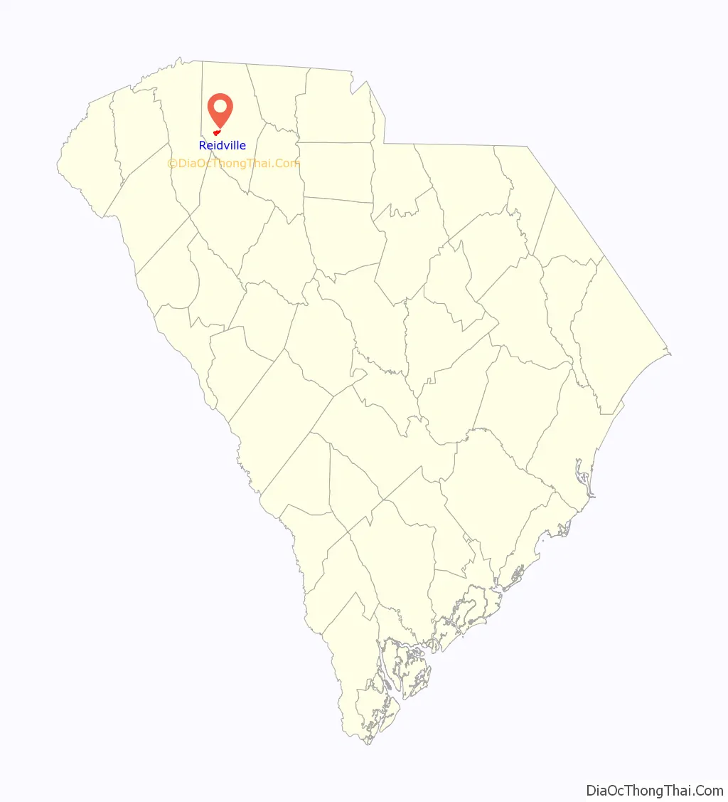
Reidville location map. Where is Reidville town?
History
A post office has been in operation at Reidville since 1858. The community was named for R. H. Reid, a local minister.
Reidville Academy Faculty House was listed on the National Register of Historic Places in 1997.
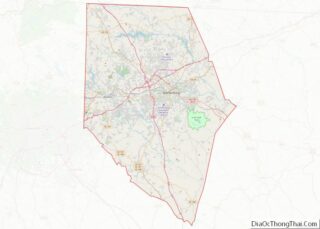
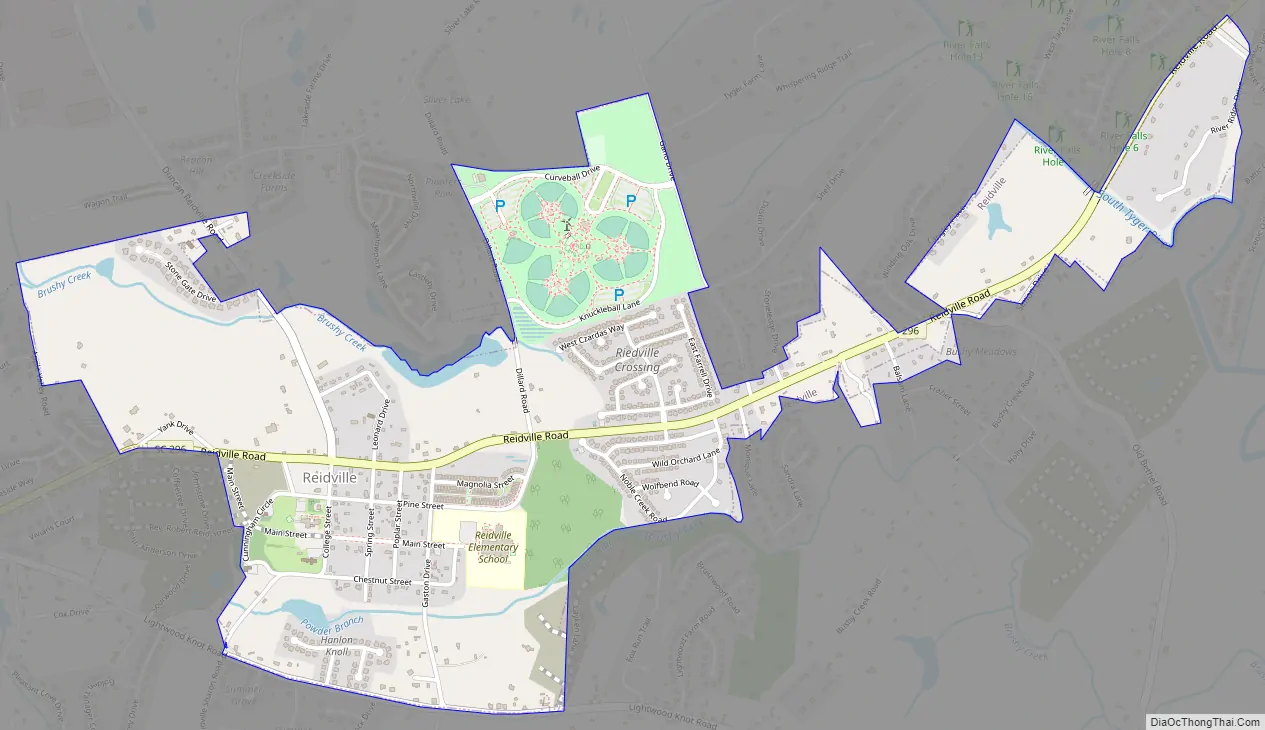
Reidville Road Map
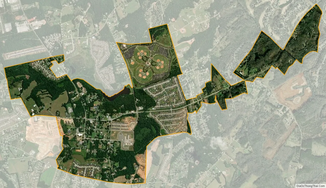
Reidville city Satellite Map
Geography
Reidville is located at 34°51′54″N 82°6′17″W / 34.86500°N 82.10472°W / 34.86500; -82.10472 (34.865048, -82.104812).
According to the United States Census Bureau, the town has a total area of 1.4 square miles (3.5 km), all land.
See also
Map of South Carolina State and its subdivision:- Abbeville
- Aiken
- Allendale
- Anderson
- Bamberg
- Barnwell
- Beaufort
- Berkeley
- Calhoun
- Charleston
- Cherokee
- Chester
- Chesterfield
- Clarendon
- Colleton
- Darlington
- Dillon
- Dorchester
- Edgefield
- Fairfield
- Florence
- Georgetown
- Greenville
- Greenwood
- Hampton
- Horry
- Jasper
- Kershaw
- Lancaster
- Laurens
- Lee
- Lexington
- Marion
- Marlboro
- McCormick
- Newberry
- Oconee
- Orangeburg
- Pickens
- Richland
- Saluda
- Spartanburg
- Sumter
- Union
- Williamsburg
- York
- Alabama
- Alaska
- Arizona
- Arkansas
- California
- Colorado
- Connecticut
- Delaware
- District of Columbia
- Florida
- Georgia
- Hawaii
- Idaho
- Illinois
- Indiana
- Iowa
- Kansas
- Kentucky
- Louisiana
- Maine
- Maryland
- Massachusetts
- Michigan
- Minnesota
- Mississippi
- Missouri
- Montana
- Nebraska
- Nevada
- New Hampshire
- New Jersey
- New Mexico
- New York
- North Carolina
- North Dakota
- Ohio
- Oklahoma
- Oregon
- Pennsylvania
- Rhode Island
- South Carolina
- South Dakota
- Tennessee
- Texas
- Utah
- Vermont
- Virginia
- Washington
- West Virginia
- Wisconsin
- Wyoming