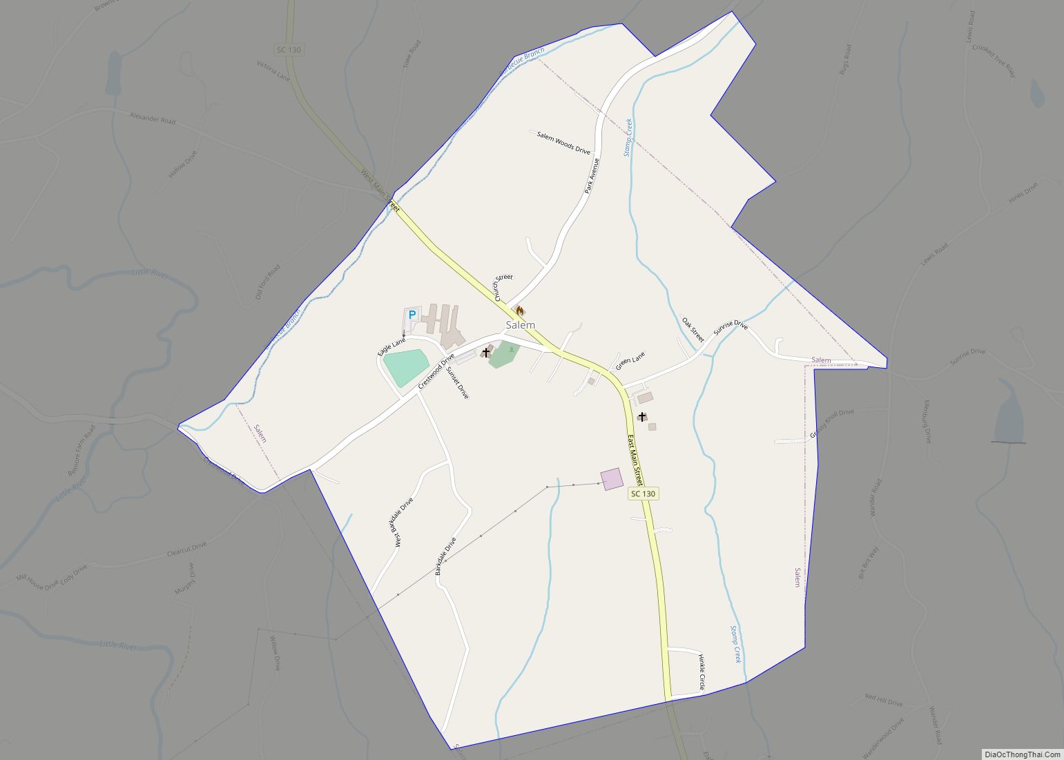
Salem is a U.S. town in Oconee County, South Carolina. The population was 135 at the 2010 United States Census.
| Name: | Salem town |
|---|---|
| LSAD Code: | 43 |
| LSAD Description: | town (suffix) |
| State: | South Carolina |
| County: | Oconee County |
| Elevation: | 1,063 ft (324 m) |
| Total Area: | 0.92 sq mi (2.37 km²) |
| Land Area: | 0.92 sq mi (2.37 km²) |
| Water Area: | 0.00 sq mi (0.00 km²) |
| Total Population: | 120 |
| Population Density: | 131.15/sq mi (50.61/km²) |
| ZIP code: | 29676 |
| Area code: | 864 |
| FIPS code: | 4562980 |
| GNISfeature ID: | 1230283 |
| Website: | www.facebook.com/Salem-Town-Hall-1702501816656220/ |
Online Interactive Map
Click on ![]() to view map in "full screen" mode.
to view map in "full screen" mode.
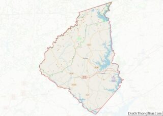
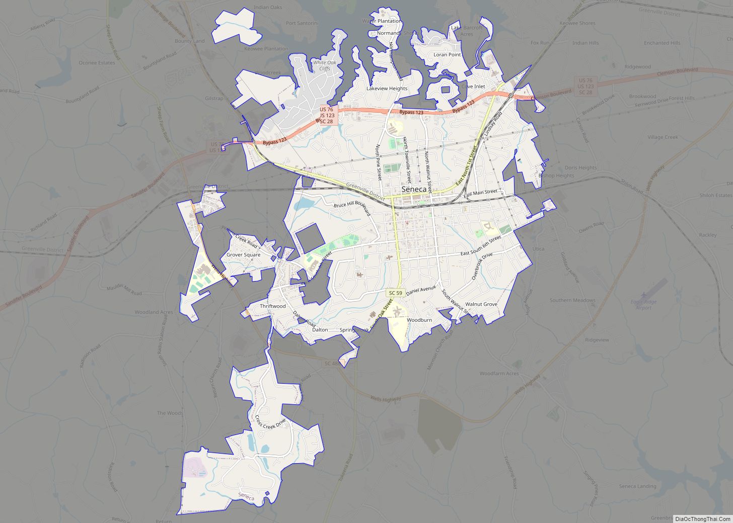
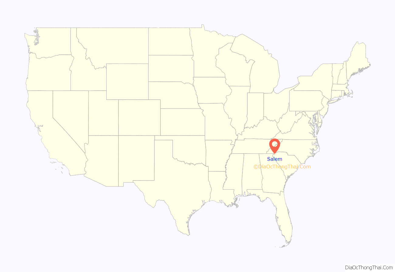
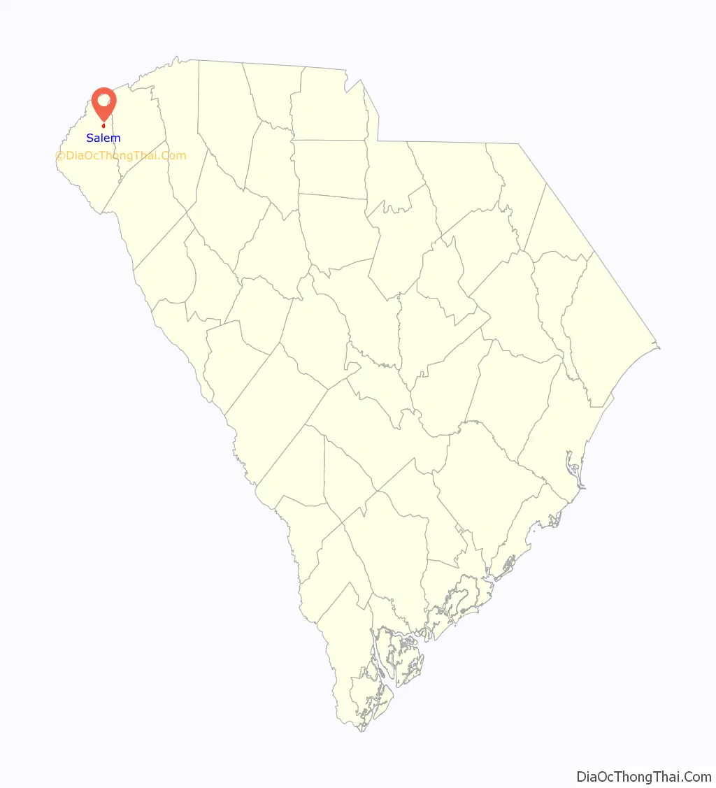
Salem location map. Where is Salem town?
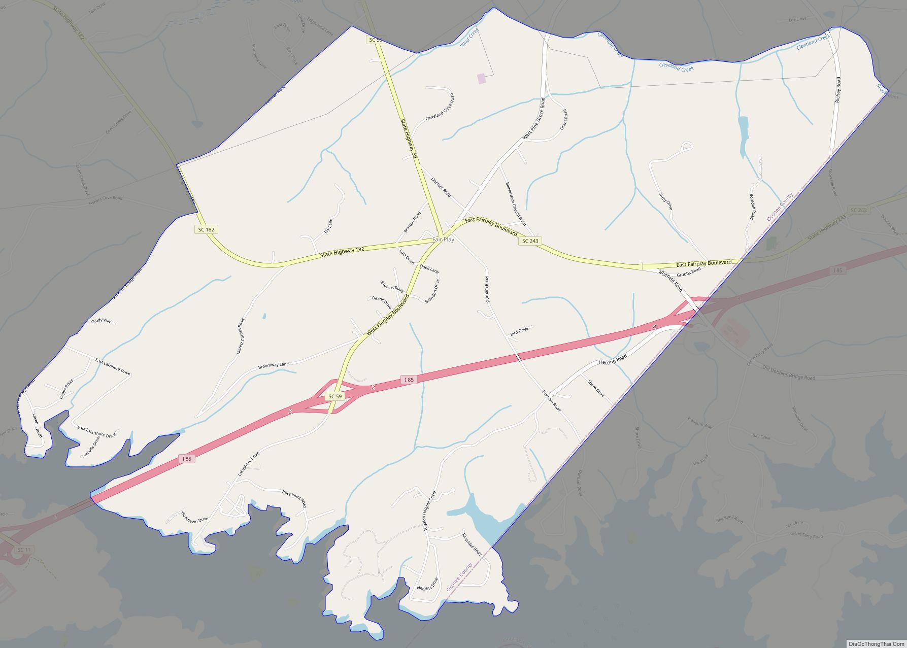
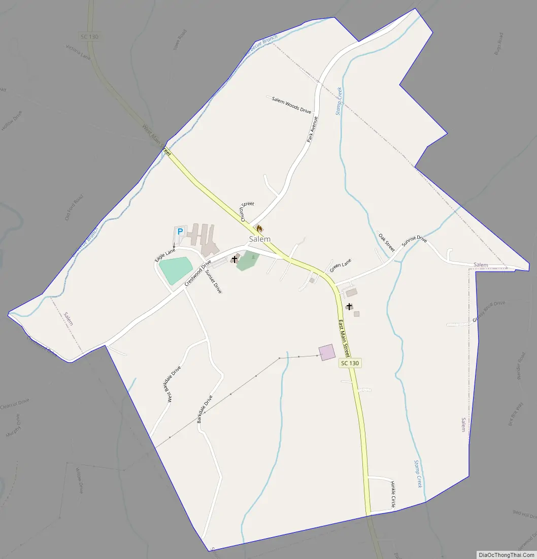
Salem Road Map
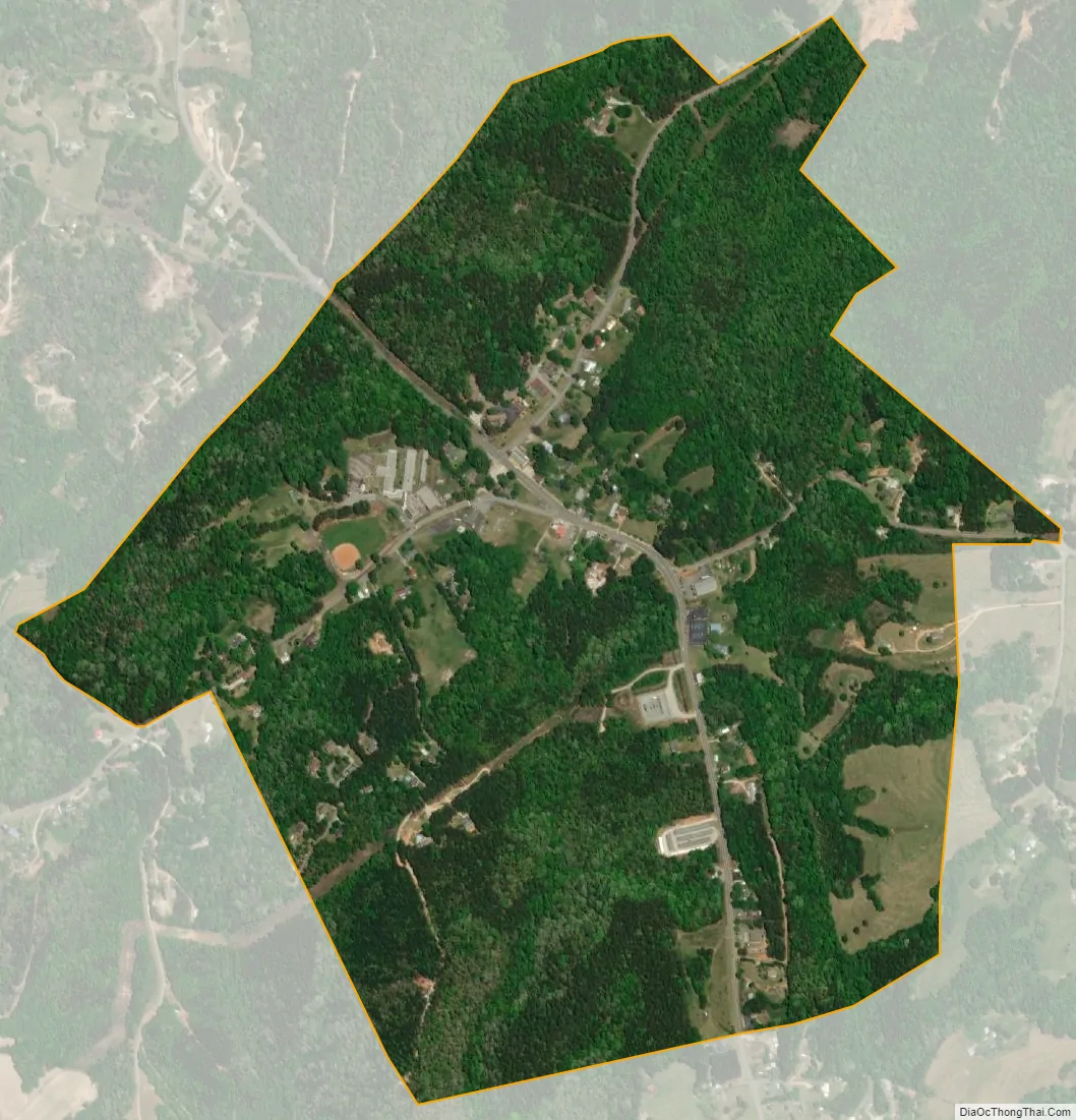
Salem city Satellite Map
Geography
Salem is located at 34°53′19″N 82°58′29″W / 34.88861°N 82.97472°W / 34.88861; -82.97472 (34.888599, -82.974666). The town lies in the foothills of the Blue Ridge Mountains along South Carolina Highway 130, just south of its junction with South Carolina Highway 11. Lake Keowee and Keowee-Toxaway State Park lie just to the east, and Lake Jocassee and Devils Fork State Park lie to the northeast. The North Carolina-South Carolina border passes several miles north of Salem.
According to the United States Census Bureau, the town has a total area of 0.8 square miles (2.2 km), all of it land.
See also
Map of South Carolina State and its subdivision:- Abbeville
- Aiken
- Allendale
- Anderson
- Bamberg
- Barnwell
- Beaufort
- Berkeley
- Calhoun
- Charleston
- Cherokee
- Chester
- Chesterfield
- Clarendon
- Colleton
- Darlington
- Dillon
- Dorchester
- Edgefield
- Fairfield
- Florence
- Georgetown
- Greenville
- Greenwood
- Hampton
- Horry
- Jasper
- Kershaw
- Lancaster
- Laurens
- Lee
- Lexington
- Marion
- Marlboro
- McCormick
- Newberry
- Oconee
- Orangeburg
- Pickens
- Richland
- Saluda
- Spartanburg
- Sumter
- Union
- Williamsburg
- York
- Alabama
- Alaska
- Arizona
- Arkansas
- California
- Colorado
- Connecticut
- Delaware
- District of Columbia
- Florida
- Georgia
- Hawaii
- Idaho
- Illinois
- Indiana
- Iowa
- Kansas
- Kentucky
- Louisiana
- Maine
- Maryland
- Massachusetts
- Michigan
- Minnesota
- Mississippi
- Missouri
- Montana
- Nebraska
- Nevada
- New Hampshire
- New Jersey
- New Mexico
- New York
- North Carolina
- North Dakota
- Ohio
- Oklahoma
- Oregon
- Pennsylvania
- Rhode Island
- South Carolina
- South Dakota
- Tennessee
- Texas
- Utah
- Vermont
- Virginia
- Washington
- West Virginia
- Wisconsin
- Wyoming