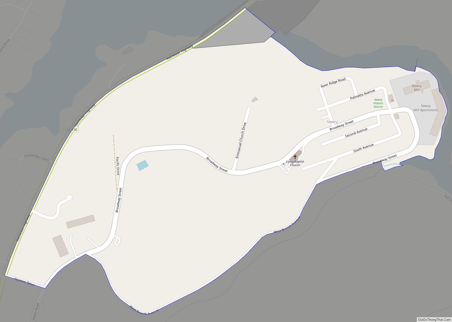
Newry is a census-designated place in Oconee County, South Carolina, United States. According to the 2010 United States Census, the population of the CDP was 172.
| Name: | Newry CDP |
|---|---|
| LSAD Code: | 57 |
| LSAD Description: | CDP (suffix) |
| State: | South Carolina |
| County: | Oconee County |
| Elevation: | 827 ft (252 m) |
| Total Area: | 0.29 sq mi (0.77 km²) |
| Land Area: | 0.29 sq mi (0.76 km²) |
| Water Area: | 0.00 sq mi (0.00 km²) |
| Total Population: | 199 |
| Population Density: | 674.58/sq mi (260.26/km²) |
| ZIP code: | 29665 |
| Area code: | 864 |
| FIPS code: | 4549975 |
| GNISfeature ID: | 2584533 |
Online Interactive Map
Click on ![]() to view map in "full screen" mode.
to view map in "full screen" mode.
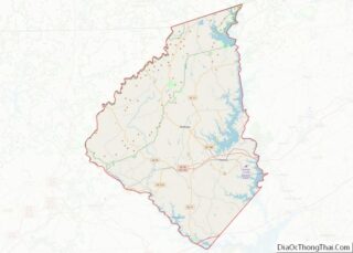
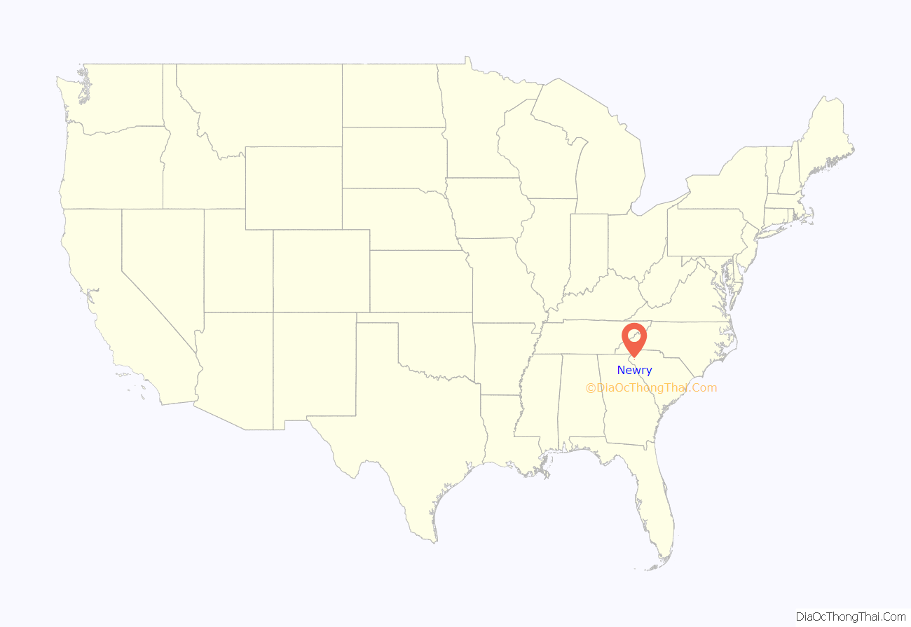
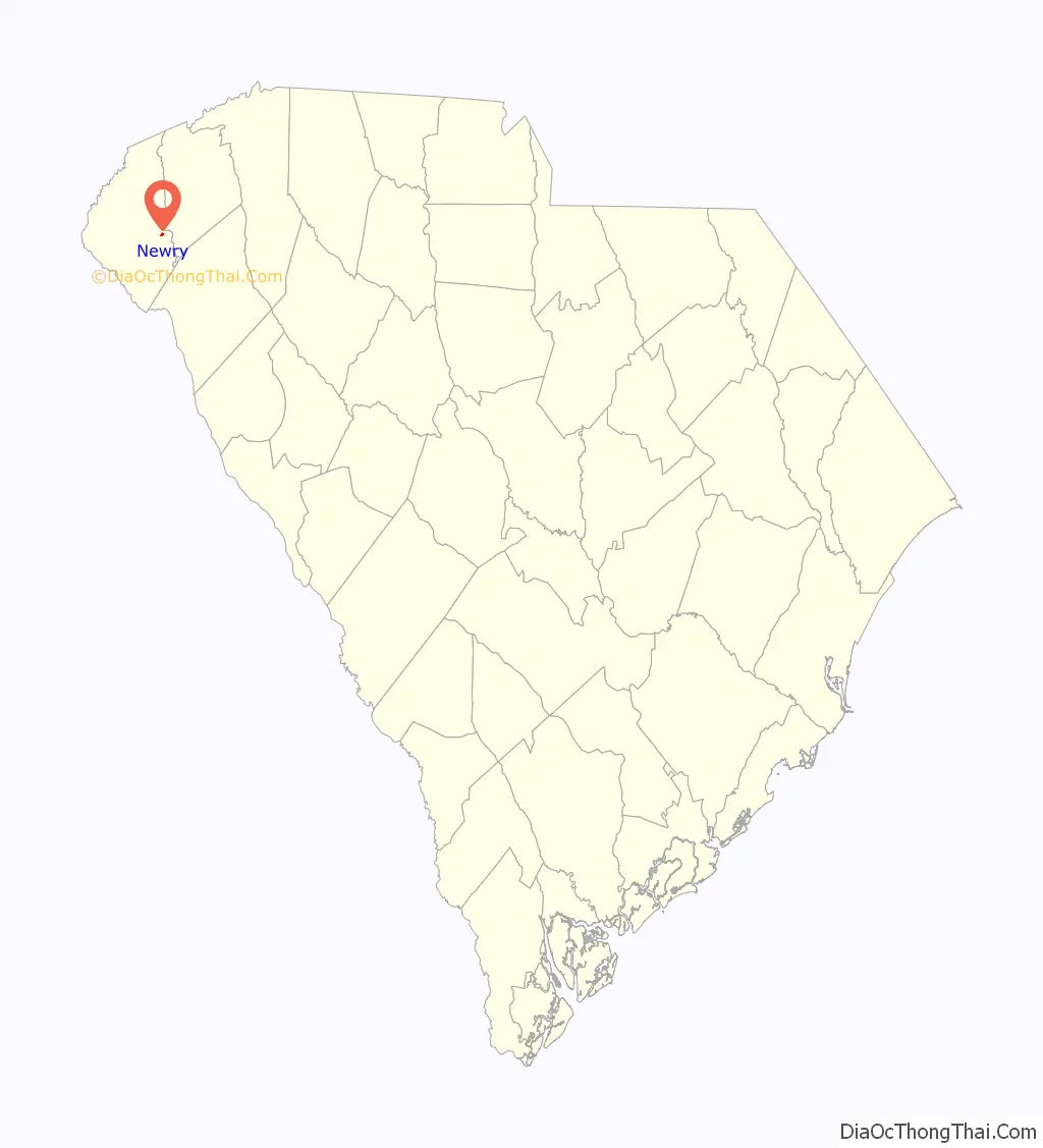
Newry location map. Where is Newry CDP?
History
Captain William Ashmead Courtenay (1831-1908) served in Robert E. Lee’s Army of Northern Virginia in the Civil War, and was the mayor of Charleston, South Carolina from 1879–1887. Courtenay and a group of investors formed the Courtenay Manufacturing Company in 1893 with an initial capitalization of $134,500. The company purchased 350 acres (1.4 km) of land along the Little River in Oconee County on June 1, 1893. The company dammed the Little River to power the mill constructed on the site. They also constructed a village of about 50 cottages, and the mill began manufacturing cotton cloth on June 14, 1894.
Captain Courtenay’s father emigrated to the United States from Ireland in 1791. It is traditionally believed that Courtenay named the village after his ancestral home of Newry which was a small industrial village at the time. The company owned the houses in the town, expanded from the original 50 cottages to about 85 residences, two churches, and a combined post office and company store, during the period from 1893 to 1910. The mill was immediately profitable, giving its investors a 15% rate of return in its first year of operation.
Following Courtenay’s death in 1908, his sons managed the mill until approximately 1920. In 1946, the Courtenay Manufacturing Company merged with Anderson Cotton Mills, Panola Mills, and Grendel Mills to form a corporation called Abney Mills. Abney Mills continued operations at the mill in Newry, but sold the houses of the community to their residents in 1959. In 1972, the earthen Little River Dam was constructed and Lake Keowee was filled. Newry’s baseball field was destroyed to make way for the dam.
Abney Mills closed the Newry mill in July 1975. Some of the employees and town residents left to work at other Abney Mills factories. The village lost many residents. In 1980, Newry’s population was estimated to be 250.
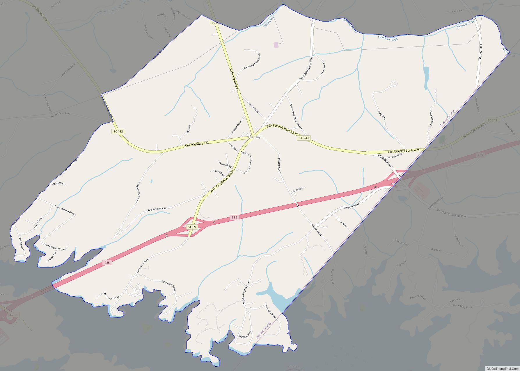
Newry Road Map
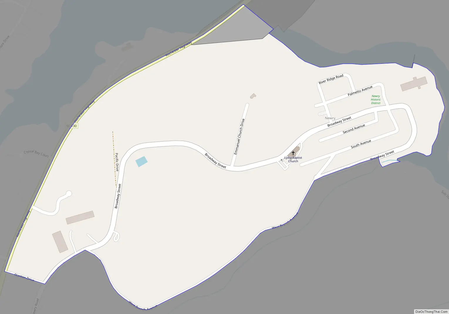
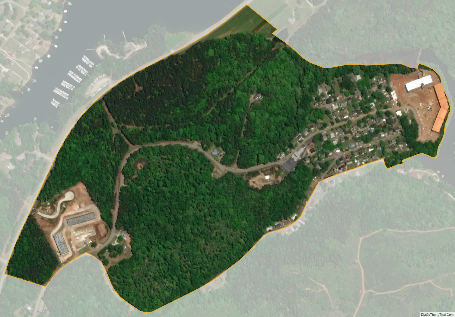
Newry city Satellite Map
See also
Map of South Carolina State and its subdivision:- Abbeville
- Aiken
- Allendale
- Anderson
- Bamberg
- Barnwell
- Beaufort
- Berkeley
- Calhoun
- Charleston
- Cherokee
- Chester
- Chesterfield
- Clarendon
- Colleton
- Darlington
- Dillon
- Dorchester
- Edgefield
- Fairfield
- Florence
- Georgetown
- Greenville
- Greenwood
- Hampton
- Horry
- Jasper
- Kershaw
- Lancaster
- Laurens
- Lee
- Lexington
- Marion
- Marlboro
- McCormick
- Newberry
- Oconee
- Orangeburg
- Pickens
- Richland
- Saluda
- Spartanburg
- Sumter
- Union
- Williamsburg
- York
- Alabama
- Alaska
- Arizona
- Arkansas
- California
- Colorado
- Connecticut
- Delaware
- District of Columbia
- Florida
- Georgia
- Hawaii
- Idaho
- Illinois
- Indiana
- Iowa
- Kansas
- Kentucky
- Louisiana
- Maine
- Maryland
- Massachusetts
- Michigan
- Minnesota
- Mississippi
- Missouri
- Montana
- Nebraska
- Nevada
- New Hampshire
- New Jersey
- New Mexico
- New York
- North Carolina
- North Dakota
- Ohio
- Oklahoma
- Oregon
- Pennsylvania
- Rhode Island
- South Carolina
- South Dakota
- Tennessee
- Texas
- Utah
- Vermont
- Virginia
- Washington
- West Virginia
- Wisconsin
- Wyoming