Walhalla is a city in the foothills of the Blue Ridge Mountains in Oconee County, South Carolina, United States. Designated in 1868 as the county seat, it lies within the area of the Blue Ridge Escarpment, an area of transition between mountains and piedmont, and contains numerous waterfalls. It is located 16 miles (26 km) from Clemson University in Clemson, South Carolina.
This European-American city was founded after Indian Removal of the Cherokee in 1838. Early residents were predominantly German immigrants who had been refugees from the German revolutions of 1848-1849. Some English and Scots-Irish farmers also settled here. During the Reconstruction era, when Oconee County was organized in 1868, the state legislature designated Walhalla as its county seat.
While the population was 4,263 at the 2010 census, “Walhalla” is used both colloquially and practically to refer to a larger area than is within city limits, often being expanded to the whole 29691 zip code. This larger area has a higher, more spread-out population. The current mayor of Walhalla is Danny Edwards.
| Name: | Walhalla city |
|---|---|
| LSAD Code: | 25 |
| LSAD Description: | city (suffix) |
| State: | South Carolina |
| County: | Oconee County |
| Elevation: | 1,027 ft (313 m) |
| Total Area: | 3.95 sq mi (10.22 km²) |
| Land Area: | 3.88 sq mi (10.06 km²) |
| Water Area: | 0.06 sq mi (0.16 km²) |
| Total Population: | 4,072 |
| Population Density: | 1,048.13/sq mi (404.68/km²) |
| ZIP code: | 29691 |
| FIPS code: | 4574095 |
| GNISfeature ID: | 1230451 |
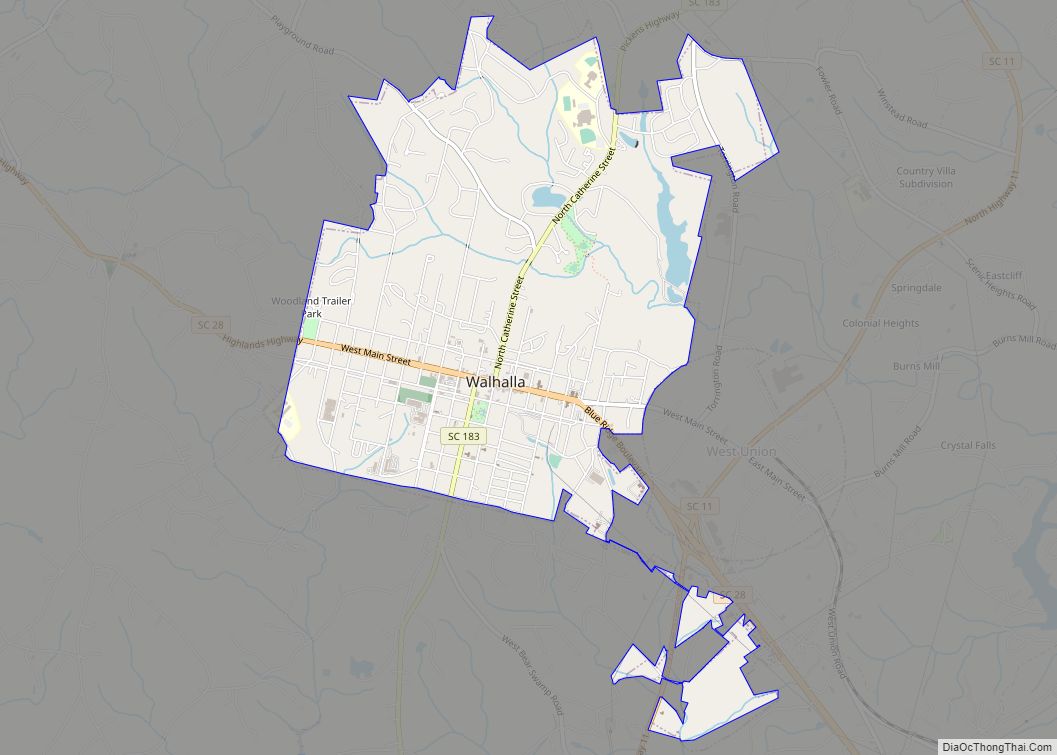
Online Interactive Map
Click on ![]() to view map in "full screen" mode.
to view map in "full screen" mode.
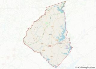
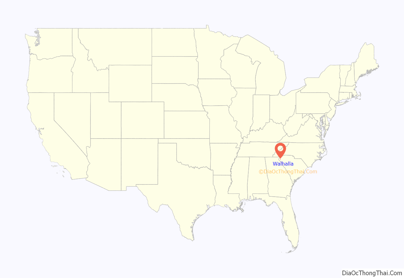
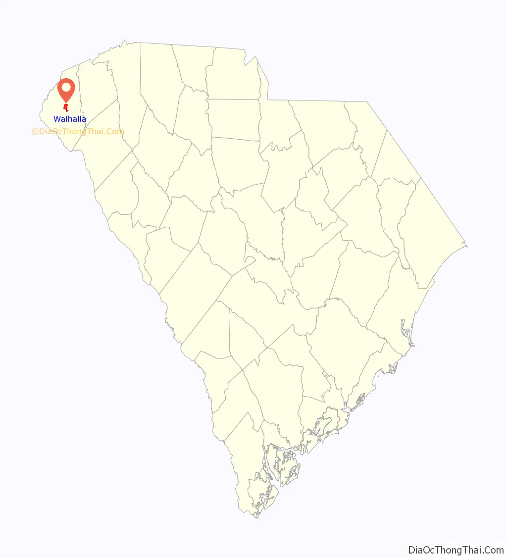
Walhalla location map. Where is Walhalla city?
History
The German Colonization Society of Charleston was founded in 1848 to aid a wave of immigrants from the failures of the German revolutions of 1848-1849 and settle them in upstate; in the aftermath, numerous liberal merchants and farmers immigrated to the United States. Society trustees including General John A. Wagener, Claus Bullwinkel, John C. Henckel, Jacob Schroder, and Christopher F. Seeba bought 17,859 acres (72.27 km) of land for $27,000 from Reverend Joseph Grisham of West Union in the Pickens District on December 24, 1849, to support German settlement in this area.
As mostly political refugees, the German colonists named their settlement Valhalla, in reference to the afterlife in Norse Mythology where warriors would go if selected to fight during Ragnarök. The Germans had sailed from the port of Hamburg, Germany to Charleston. Many were from Bavaria, and the ship also carried some English, Scots and Irish immigrants.
When Oconee County was organized in 1868, Walhalla was selected as the county seat.
Ellicott Rock, Keil Farm, Oconee County Cage, Oconee Station and Richards House, St. John’s Lutheran Church, Stumphouse Tunnel Complex, and Walhalla Graded School are natural formations and structures in Walhalla that have been listed on the National Register of Historic Places.
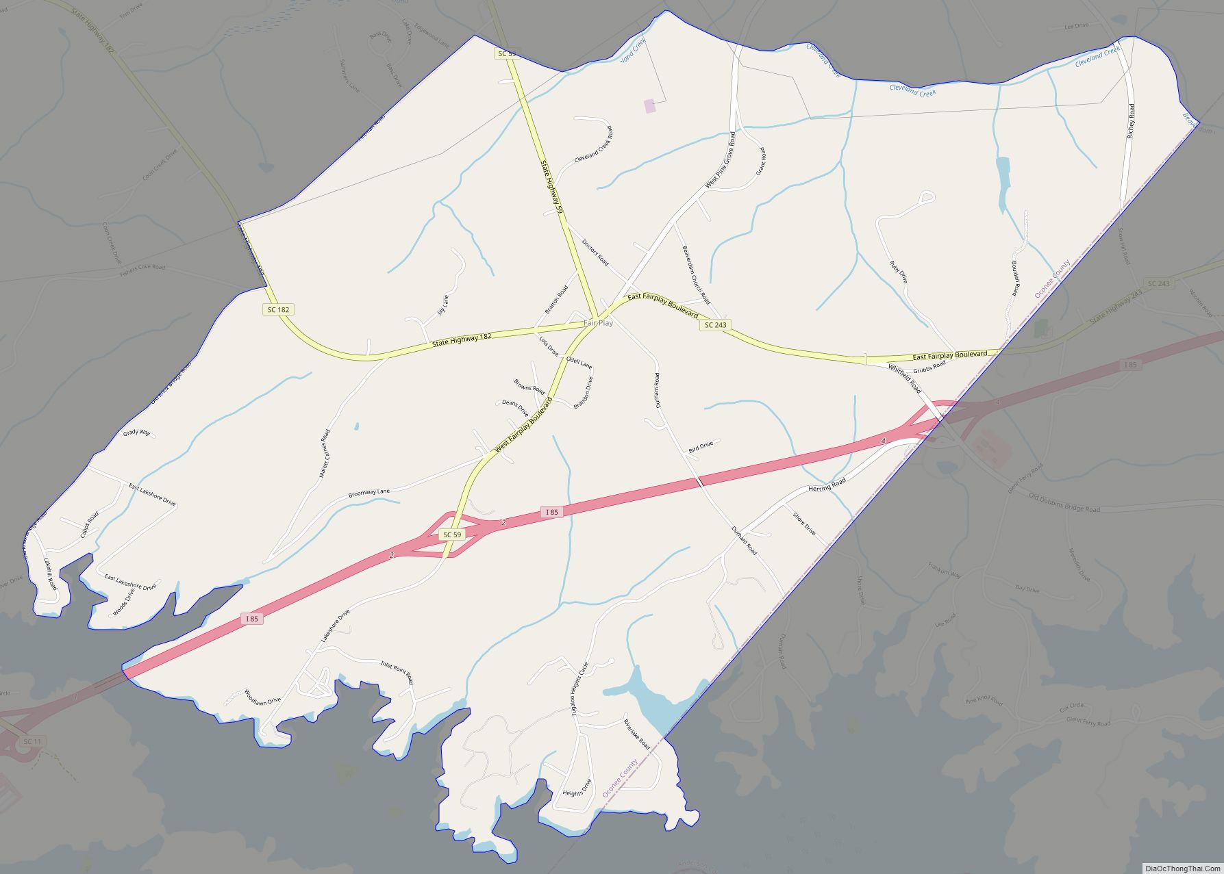
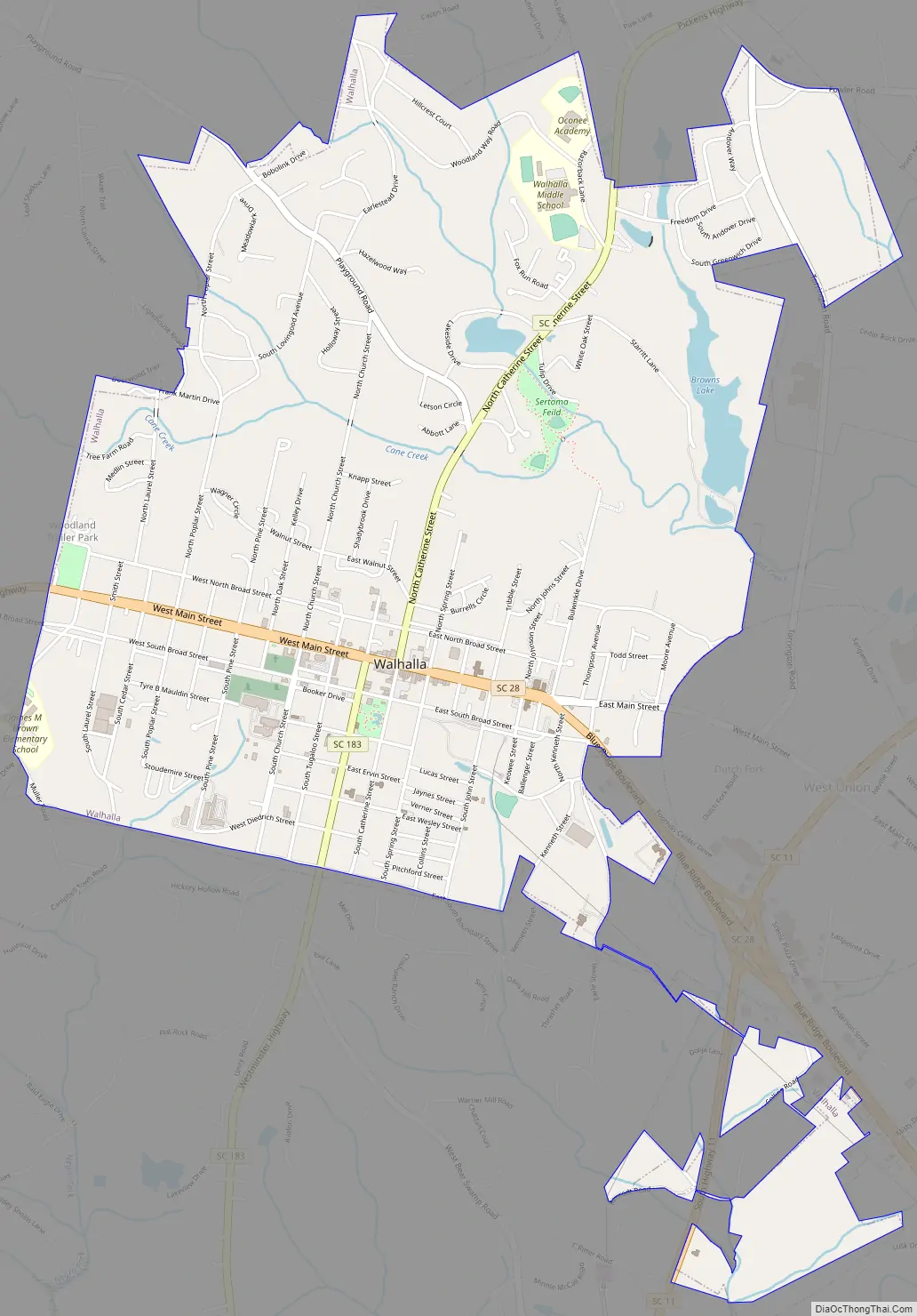
Walhalla Road Map
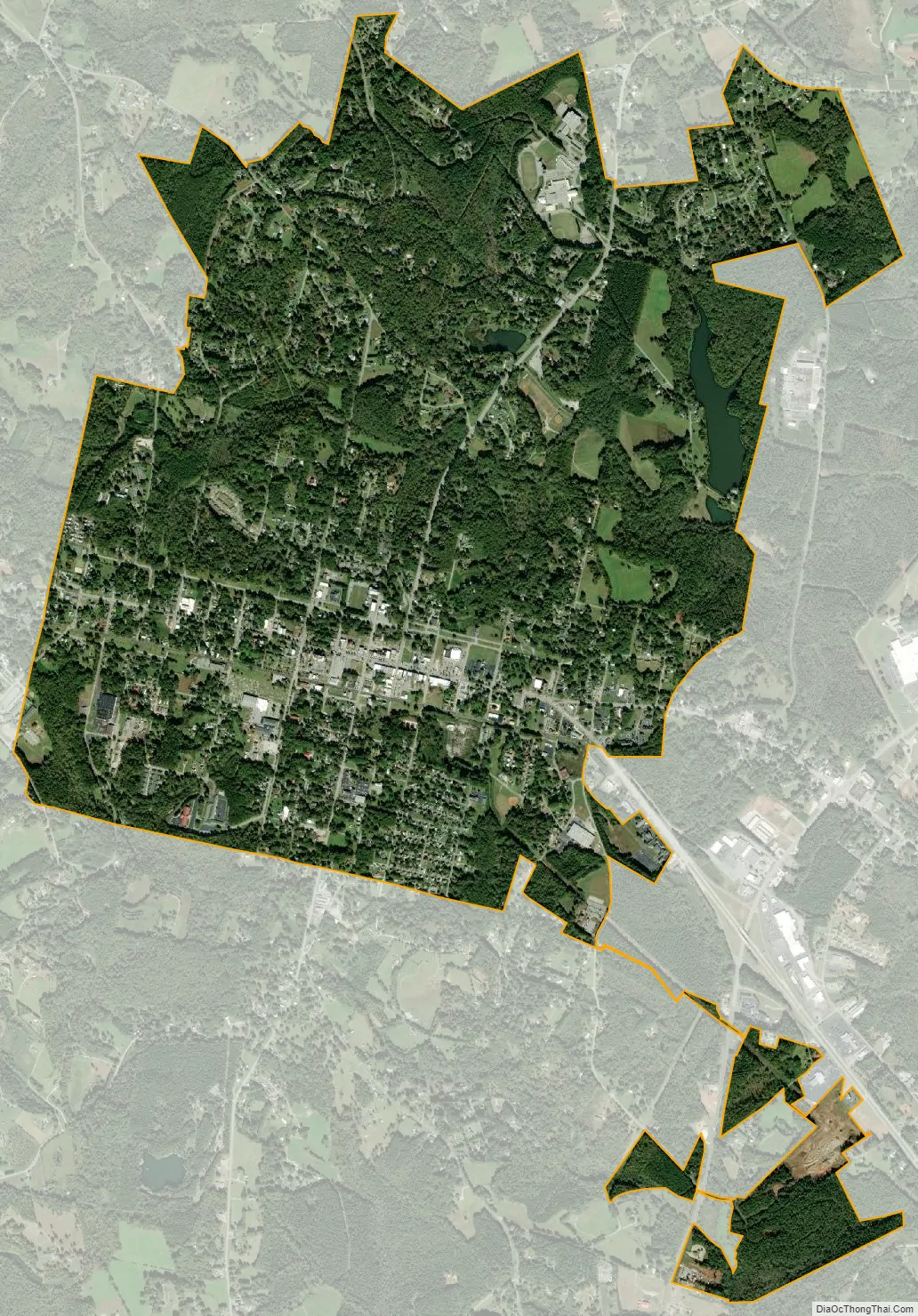
Walhalla city Satellite Map
Geography
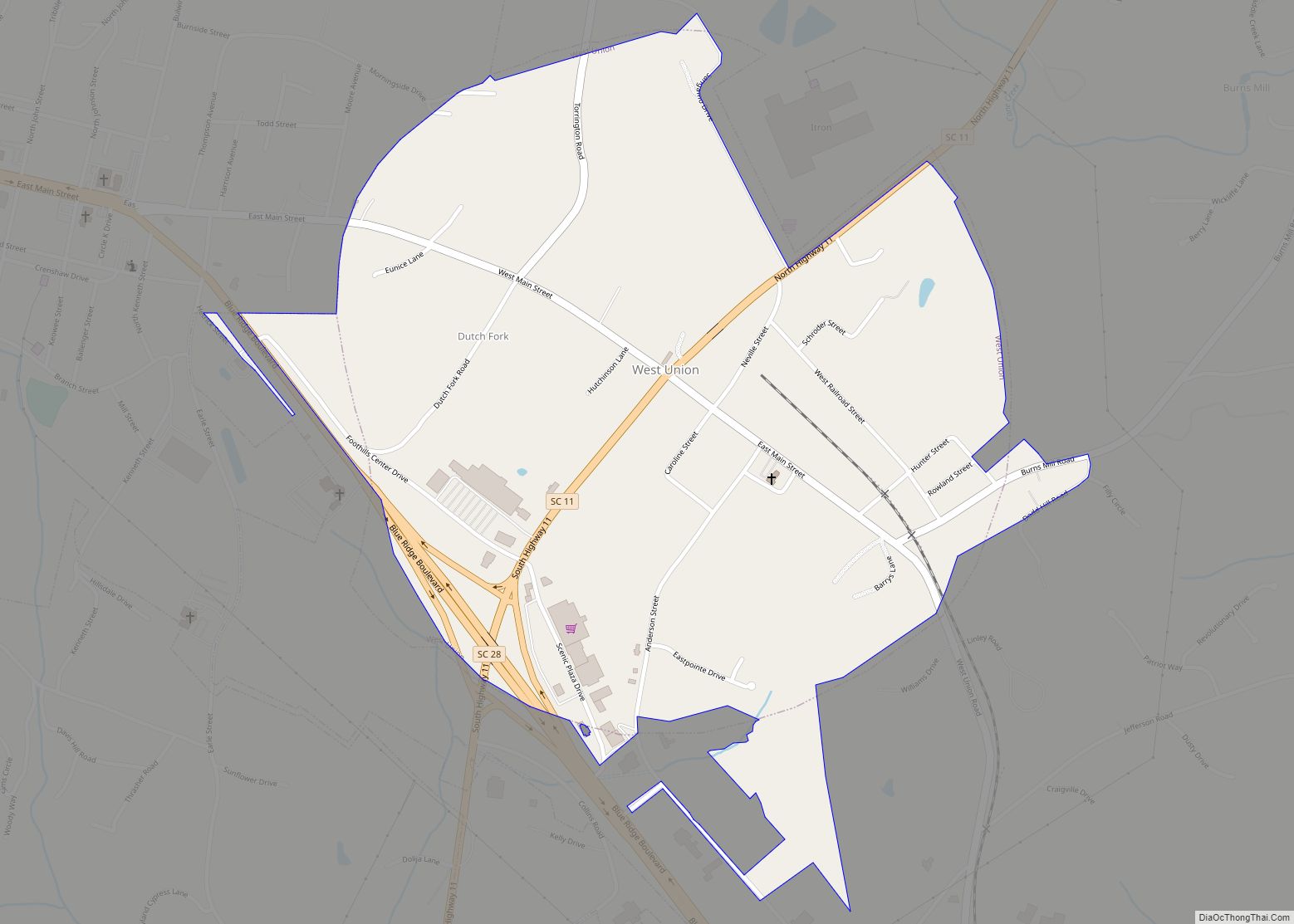
Walhalla is located at 34°46′2″N 83°3′52″W / 34.76722°N 83.06444°W / 34.76722; -83.06444 (34.767263, -83.064321). The city developed in the northwestern part of the state near the Georgia and North Carolina borders. South Carolina Highway 28 and South Carolina Highway 183 intersect here. The small town of West Union borders Walhalla to the east.
According to the United States Census Bureau, the city has a total area of 3.8 square miles (9.8 km), of which 3.7 square miles (9.6 km) is land and 0.1 square miles (0.26 km) (1.33%) is water.
The town is built mostly upon granite rock. Near some minor faults, it has been subject to small and infrequent earthquakes. The last nearby earthquake had its epicenter in Newry, South Carolina, and occurred at 7:42 am EDT on May 19, 1971. The earthquake had an intensity of VI (strong) in Newry as measured by the Mercalli intensity scale. The cause of the Newry quake was likely a slippage of the Brevard Fault and other faults in the area, aided by the immense weight of the man-made Lake Keowee, created by the Keowee Dam.
The Stumphouse Mountain Tunnel is located near Walhalla.
Climate
See also
Map of South Carolina State and its subdivision:- Abbeville
- Aiken
- Allendale
- Anderson
- Bamberg
- Barnwell
- Beaufort
- Berkeley
- Calhoun
- Charleston
- Cherokee
- Chester
- Chesterfield
- Clarendon
- Colleton
- Darlington
- Dillon
- Dorchester
- Edgefield
- Fairfield
- Florence
- Georgetown
- Greenville
- Greenwood
- Hampton
- Horry
- Jasper
- Kershaw
- Lancaster
- Laurens
- Lee
- Lexington
- Marion
- Marlboro
- McCormick
- Newberry
- Oconee
- Orangeburg
- Pickens
- Richland
- Saluda
- Spartanburg
- Sumter
- Union
- Williamsburg
- York
- Alabama
- Alaska
- Arizona
- Arkansas
- California
- Colorado
- Connecticut
- Delaware
- District of Columbia
- Florida
- Georgia
- Hawaii
- Idaho
- Illinois
- Indiana
- Iowa
- Kansas
- Kentucky
- Louisiana
- Maine
- Maryland
- Massachusetts
- Michigan
- Minnesota
- Mississippi
- Missouri
- Montana
- Nebraska
- Nevada
- New Hampshire
- New Jersey
- New Mexico
- New York
- North Carolina
- North Dakota
- Ohio
- Oklahoma
- Oregon
- Pennsylvania
- Rhode Island
- South Carolina
- South Dakota
- Tennessee
- Texas
- Utah
- Vermont
- Virginia
- Washington
- West Virginia
- Wisconsin
- Wyoming