Society Hill is a town in Darlington County, South Carolina, United States alongside the Pee Dee River. It is the oldest community in Darlington County and one of the first towns founded in South Carolina. The town was once the intellectual center of the Pee Dee region. However, the town’s fortunes declined in the 19th century after rivers became less important as means of transportation. It is part of the Florence Metropolitan Statistical Area.
In the 2010 census, the population of Society Hill was 563, down from 700 in 2000 and 848 in 1980. Society Hill was originally settled in the 18th century by a colony of Baptists, who named the community after their “St. David’s Society,” the predecessor to the Society Hill Library Society.
| Name: | Society Hill town |
|---|---|
| LSAD Code: | 43 |
| LSAD Description: | town (suffix) |
| State: | South Carolina |
| County: | Darlington County |
| Elevation: | 167 ft (51 m) |
| Total Area: | 2.15 sq mi (5.56 km²) |
| Land Area: | 2.15 sq mi (5.56 km²) |
| Water Area: | 0.00 sq mi (0.00 km²) |
| Total Population: | 438 |
| Population Density: | 203.91/sq mi (78.72/km²) |
| ZIP code: | 29593 |
| Area code: | 843, 854 |
| FIPS code: | 4567435 |
| GNISfeature ID: | 1250950 |
Online Interactive Map
Click on ![]() to view map in "full screen" mode.
to view map in "full screen" mode.
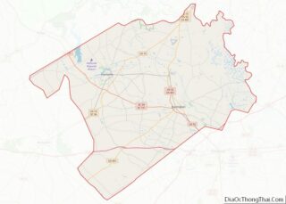
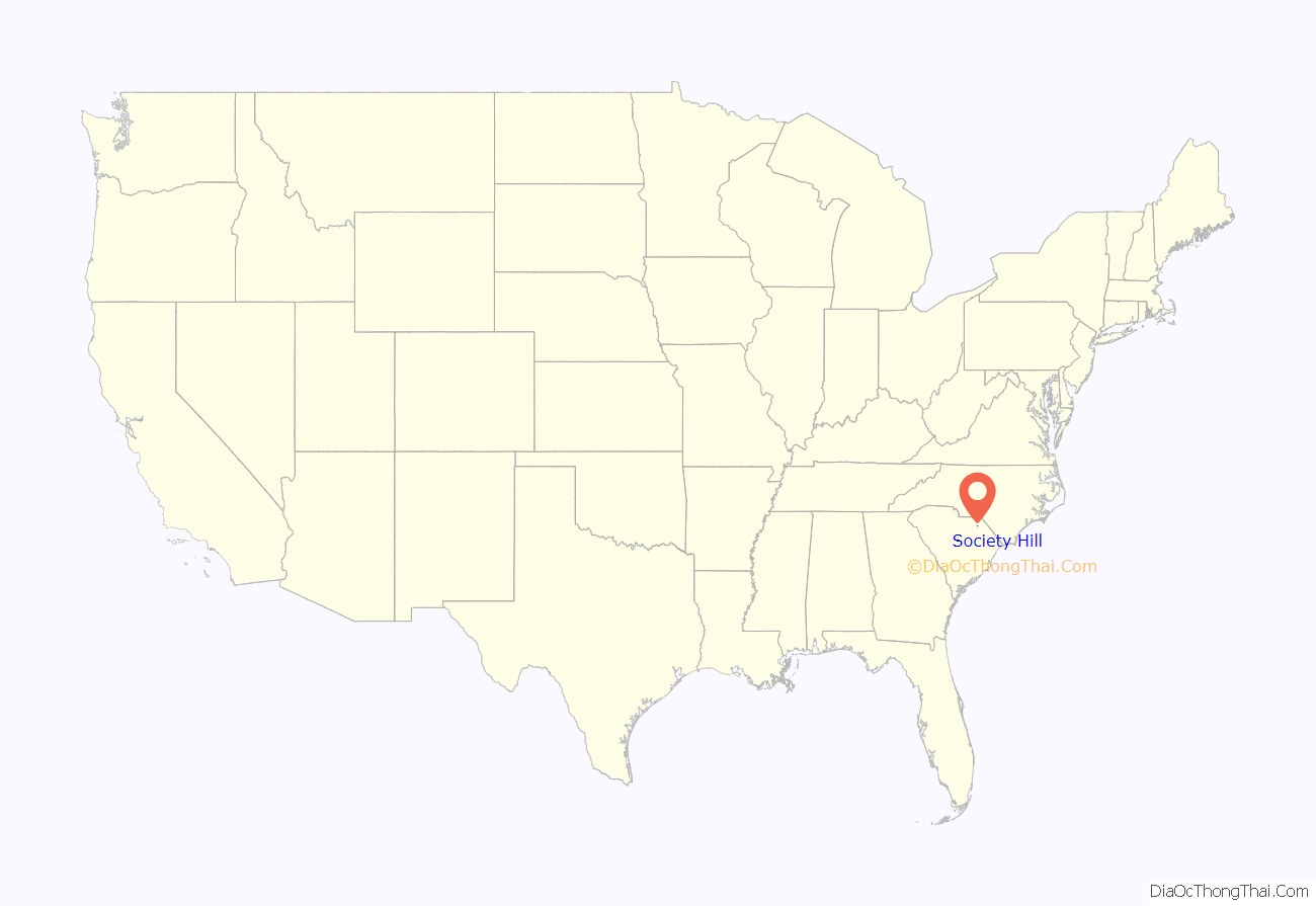
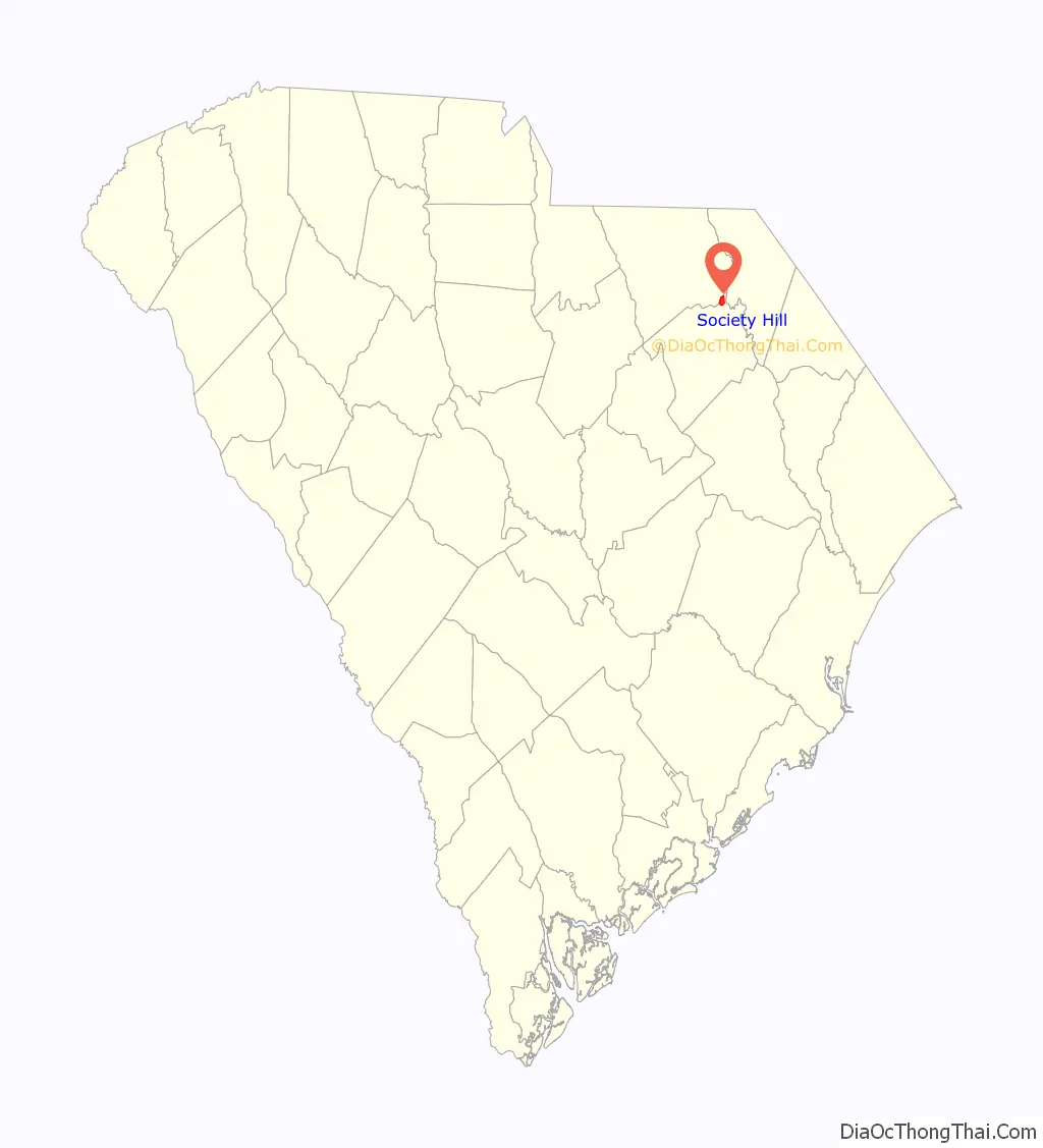
Society Hill location map. Where is Society Hill town?
History
Welsh settlers came to the Society Hill area from Pennsylvania and Delaware in 1736. It was the first settlement in Darlington County. The Welsh settlers were Baptists and named the community after St. David’s Society. The town was a center of intellectual life in the Pee Dee region in the 18th and early 19th century. St. David’s Society educated leading men like James Lide Coker, founder of Sonoco and Coker University. Its library built in 1812 is the second oldest lending-library in South Carolina. A new library, a branch of the Darlington County Library System, was built in 2011.
Society Hill began to decline as rivers became less important as means of transportation. Business in the region shifted to surrounding towns such as Cheraw and Hartsville. The population of the town peaked in 1980 with around 848 people. In the 2010 census, the population of Society Hill was 563, down from 700 in 2000.
In 2017, Preservation South Carolina, a nonprofit organization, began a plan to sell eight historic buildings to preservation-minded purchasers within Society Hill. It was the organization’s largest preservation effort at that time. At the time, Society Hill did not have any zoning laws to protect such buildings.
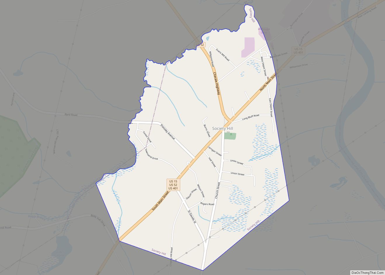
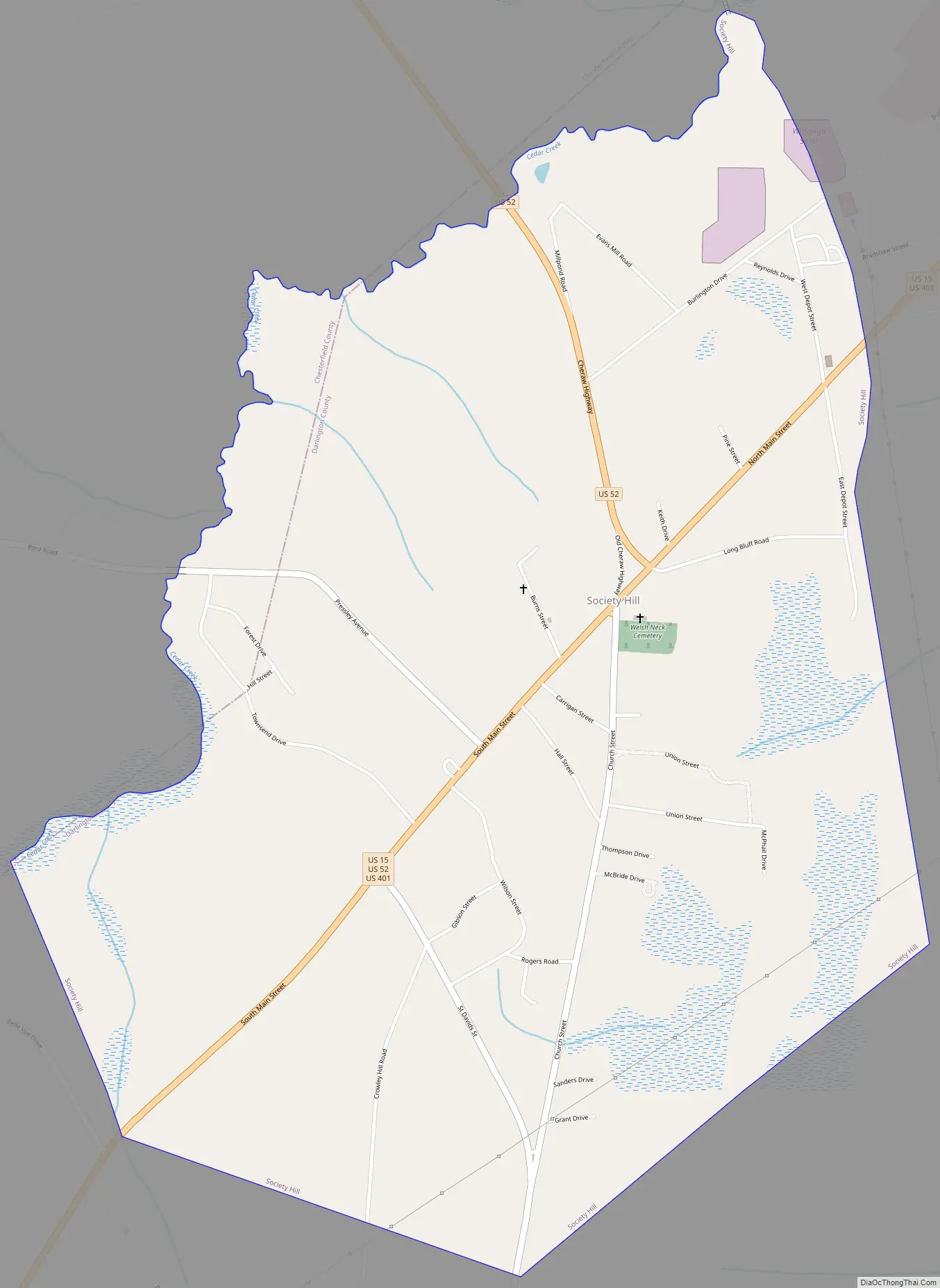
Society Hill Road Map
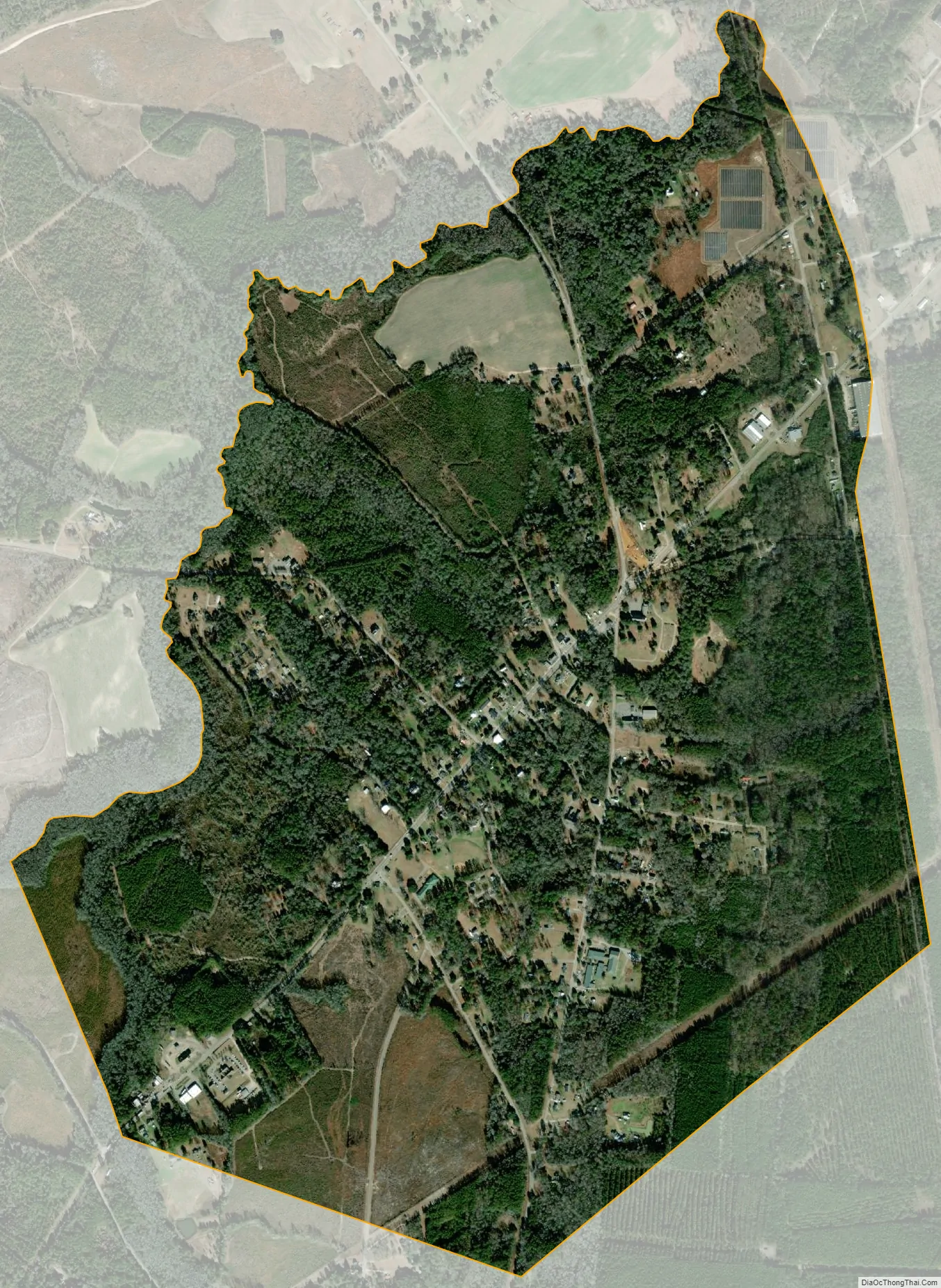
Society Hill city Satellite Map
Geography
Society Hill is located in northern Darlington County at 34°30′50″N 79°51′4″W / 34.51389°N 79.85111°W / 34.51389; -79.85111 (34.513827, -79.851005), on high ground rising to the west of the Pee Dee River. U.S. Routes 15 and 52 pass through the town. US 15 leads northeast 12 miles (19 km) to Bennettsville and 30 miles (48 km) to Laurinburg, North Carolina, and southwest 17 miles (27 km) to Hartsville. US 52 leads north 14 miles (23 km) to Cheraw and south 16 miles (26 km) to Darlington, the county seat. The two highways merge at the north end of town and pass through it as Main Street before diverging 0.8 miles (1.3 km) southwest of the town limits.
According to the United States Census Bureau, the town has a total area of 2.2 square miles (5.7 km), all land. The Pee Dee River, which separates Darlington County from Marlboro County, is 1.4 miles (2.3 km) to the northeast of the town via US 15.
See also
Map of South Carolina State and its subdivision:- Abbeville
- Aiken
- Allendale
- Anderson
- Bamberg
- Barnwell
- Beaufort
- Berkeley
- Calhoun
- Charleston
- Cherokee
- Chester
- Chesterfield
- Clarendon
- Colleton
- Darlington
- Dillon
- Dorchester
- Edgefield
- Fairfield
- Florence
- Georgetown
- Greenville
- Greenwood
- Hampton
- Horry
- Jasper
- Kershaw
- Lancaster
- Laurens
- Lee
- Lexington
- Marion
- Marlboro
- McCormick
- Newberry
- Oconee
- Orangeburg
- Pickens
- Richland
- Saluda
- Spartanburg
- Sumter
- Union
- Williamsburg
- York
- Alabama
- Alaska
- Arizona
- Arkansas
- California
- Colorado
- Connecticut
- Delaware
- District of Columbia
- Florida
- Georgia
- Hawaii
- Idaho
- Illinois
- Indiana
- Iowa
- Kansas
- Kentucky
- Louisiana
- Maine
- Maryland
- Massachusetts
- Michigan
- Minnesota
- Mississippi
- Missouri
- Montana
- Nebraska
- Nevada
- New Hampshire
- New Jersey
- New Mexico
- New York
- North Carolina
- North Dakota
- Ohio
- Oklahoma
- Oregon
- Pennsylvania
- Rhode Island
- South Carolina
- South Dakota
- Tennessee
- Texas
- Utah
- Vermont
- Virginia
- Washington
- West Virginia
- Wisconsin
- Wyoming