Laurinburg is a city in and the county seat of Scotland County, North Carolina, United States. Located in southern North Carolina near the South Carolina border, Laurinburg is southwest of Fayetteville and is home to St. Andrews University. The population at the 2010 Census was 15,962 people.
| Name: | Laurinburg city |
|---|---|
| LSAD Code: | 25 |
| LSAD Description: | city (suffix) |
| State: | North Carolina |
| County: | Scotland County |
| Incorporated: | 1877 |
| Elevation: | 223 ft (68 m) |
| Total Area: | 12.71 sq mi (32.91 km²) |
| Land Area: | 12.55 sq mi (32.50 km²) |
| Water Area: | 0.16 sq mi (0.41 km²) |
| Total Population: | 14,978 |
| Population Density: | 1,193.75/sq mi (460.91/km²) |
| ZIP code: | 28352-28353 |
| FIPS code: | 3737220 |
| GNISfeature ID: | 988216 |
| Website: | www.laurinburg.org |
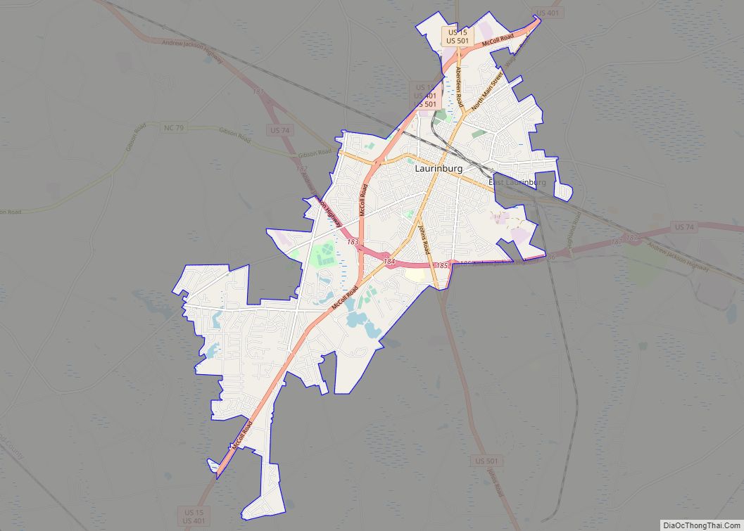
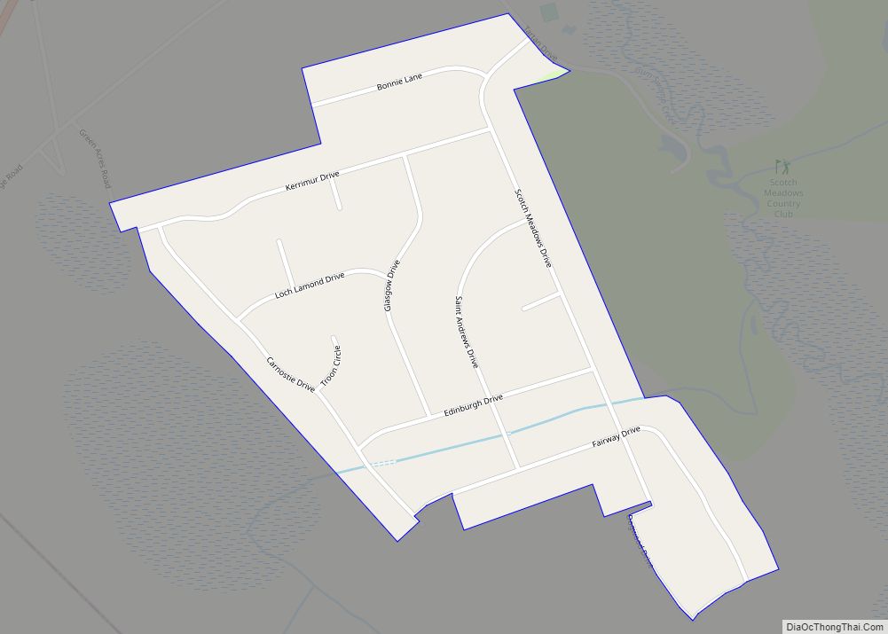
Online Interactive Map
Click on ![]() to view map in "full screen" mode.
to view map in "full screen" mode.
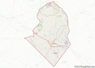
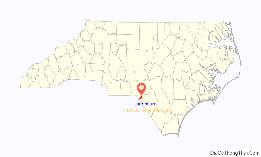
Laurinburg location map. Where is Laurinburg city?

History
Settlers arrived at the present town site around 1785. The settlement was named for a prominent family, the McLaurins. The name was originally spelled Laurinburgh and pronounced the same as Edinburgh, though the “h” was later dropped. The community was initially located within the jurisdiction of Richmond County. In 1840, Laurinburg had a saloon, a store, and a few shacks. Laurinburg High School, a private school, was established in 1852. The settlement prospered in the years following. A line of the Wilmington, Charlotte and Rutherford Railroad was built through Laurinburg in the 1850s, with the first train reaching Laurinburg in 1861. The railroad’s shops were moved to Laurinburg in 1865 in the hope they would be safer from Union Army attack; however, in March of that year, Union forces reached Laurinburg and burned the railroad depot and temporary shops. The shops were later rebuilt. Laurinburg was incorporated in 1877. In 1894 the railway shops were moved out of the town and, combined with low cotton prices, property values in the area decreased and the town experienced an economic depression.
By the late 1800s Richmond County had a majority black population and tended to support the Republican Party in elections, while the state of North Carolina was dominated by the Democratic Party. As a result of this, white Democrats built up a political base in Laurinburg and in 1899 the town and the surrounding area was split off from Richmond into the new Scotland County. The town was declared the seat of Scotland County in 1900 and the first courthouse was erected the following year. As their influence in public affairs and share of public resources declined, local black citizens created the Laurinburg Normal Industrial Institute, later known as Laurinburg Academy, in 1904.
Main Street in Laurinburg was paved in 1914. Beginning in 1929, the Great Depression severely impacted Laurinburg, causing two banks to fail. A new courthouse was built in 1964. Laurinburg’s downtown suffered an economic decline beginning in the 1980s when the Belk department store moved to a shopping center further away. The downtown was heavily impacted by Hurricane Florence in 2018.
Historic sites
Several sites in Laurinburg are listed on the National Register of Historic Places listings in Scotland County, North Carolina, including:
- John Blue House
- Mag Blue House
- Central School
- Dr. Evan Alexander Erwin House
- E. Hervey Evans House
- Thomas J. Gill House
- Laurel Hill Presbyterian Church
- Laurinburg Commercial Historic District
- St. Andrews University
- Stewart-Hawley-Malloy House
- Laurinburg Institute
- Villa Nova
Laurinburg Road Map
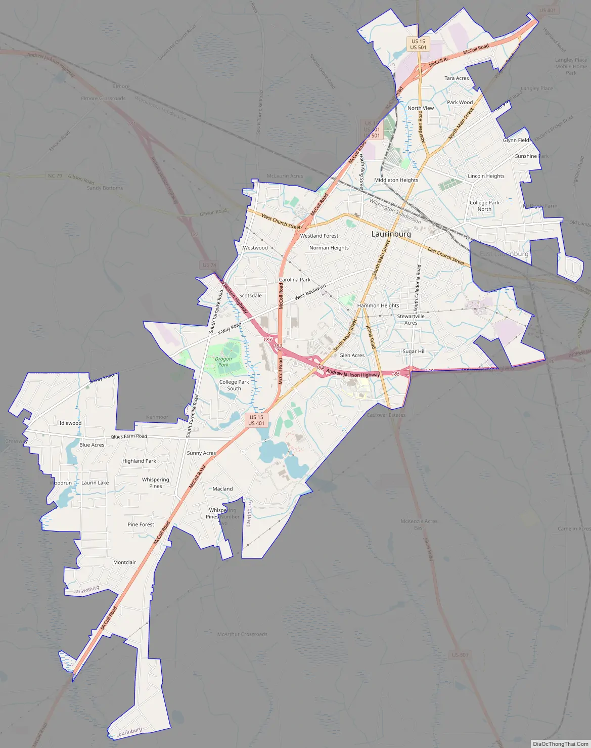
Laurinburg city Satellite Map

Geography
According to the United States Census Bureau, the city has a total area of 12.6 square miles (33 km), of which 12.4 square miles (32.1 km) is land and 0.2 square miles (0.52 km) (1.27%) is water.
Laurinburg is located 19 miles (31 km) northeast of Bennettsville, 26 miles (42 km) east of Rockingham, 32 miles (51 km) west of Lumberton, and 41 miles (66 km) southwest of Fayetteville.
See also
Map of North Carolina State and its subdivision:- Alamance
- Alexander
- Alleghany
- Anson
- Ashe
- Avery
- Beaufort
- Bertie
- Bladen
- Brunswick
- Buncombe
- Burke
- Cabarrus
- Caldwell
- Camden
- Carteret
- Caswell
- Catawba
- Chatham
- Cherokee
- Chowan
- Clay
- Cleveland
- Columbus
- Craven
- Cumberland
- Currituck
- Dare
- Davidson
- Davie
- Duplin
- Durham
- Edgecombe
- Forsyth
- Franklin
- Gaston
- Gates
- Graham
- Granville
- Greene
- Guilford
- Halifax
- Harnett
- Haywood
- Henderson
- Hertford
- Hoke
- Hyde
- Iredell
- Jackson
- Johnston
- Jones
- Lee
- Lenoir
- Lincoln
- Macon
- Madison
- Martin
- McDowell
- Mecklenburg
- Mitchell
- Montgomery
- Moore
- Nash
- New Hanover
- Northampton
- Onslow
- Orange
- Pamlico
- Pasquotank
- Pender
- Perquimans
- Person
- Pitt
- Polk
- Randolph
- Richmond
- Robeson
- Rockingham
- Rowan
- Rutherford
- Sampson
- Scotland
- Stanly
- Stokes
- Surry
- Swain
- Transylvania
- Tyrrell
- Union
- Vance
- Wake
- Warren
- Washington
- Watauga
- Wayne
- Wilkes
- Wilson
- Yadkin
- Yancey
- Alabama
- Alaska
- Arizona
- Arkansas
- California
- Colorado
- Connecticut
- Delaware
- District of Columbia
- Florida
- Georgia
- Hawaii
- Idaho
- Illinois
- Indiana
- Iowa
- Kansas
- Kentucky
- Louisiana
- Maine
- Maryland
- Massachusetts
- Michigan
- Minnesota
- Mississippi
- Missouri
- Montana
- Nebraska
- Nevada
- New Hampshire
- New Jersey
- New Mexico
- New York
- North Carolina
- North Dakota
- Ohio
- Oklahoma
- Oregon
- Pennsylvania
- Rhode Island
- South Carolina
- South Dakota
- Tennessee
- Texas
- Utah
- Vermont
- Virginia
- Washington
- West Virginia
- Wisconsin
- Wyoming