Startex is a census-designated place (CDP) in Spartanburg County, South Carolina, United States. The population was 859 at the 2010 census. The area was originally known as Tucapau, named after the mill that was built there in 1896. In 1936, Walter Montgomery Sr. bought the mill and changed its name to Startex—the brand name of household textiles produced at the plant. The mill ceased operations in 1998 and was mostly dismantled in 1999.
| Name: | Startex CDP |
|---|---|
| LSAD Code: | 57 |
| LSAD Description: | CDP (suffix) |
| State: | South Carolina |
| County: | Spartanburg County |
| Elevation: | 794 ft (242 m) |
| Total Area: | 1.12 sq mi (2.90 km²) |
| Land Area: | 1.11 sq mi (2.87 km²) |
| Water Area: | 0.01 sq mi (0.03 km²) |
| Total Population: | 745 |
| Population Density: | 672.99/sq mi (259.73/km²) |
| ZIP code: | 29377 |
| Area code: | 864 |
| FIPS code: | 4568920 |
| GNISfeature ID: | 1231824 |
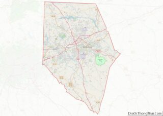
Online Interactive Map
Click on ![]() to view map in "full screen" mode.
to view map in "full screen" mode.
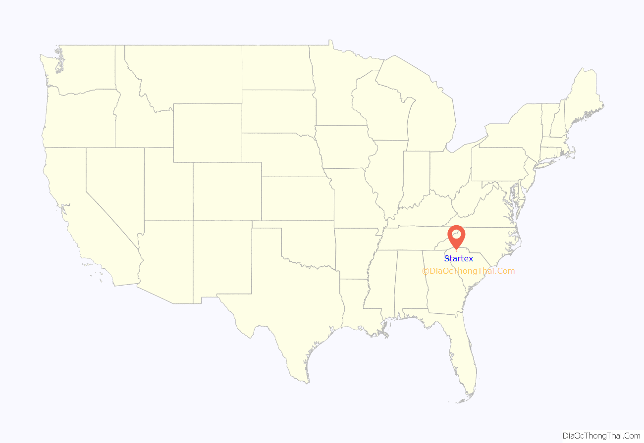
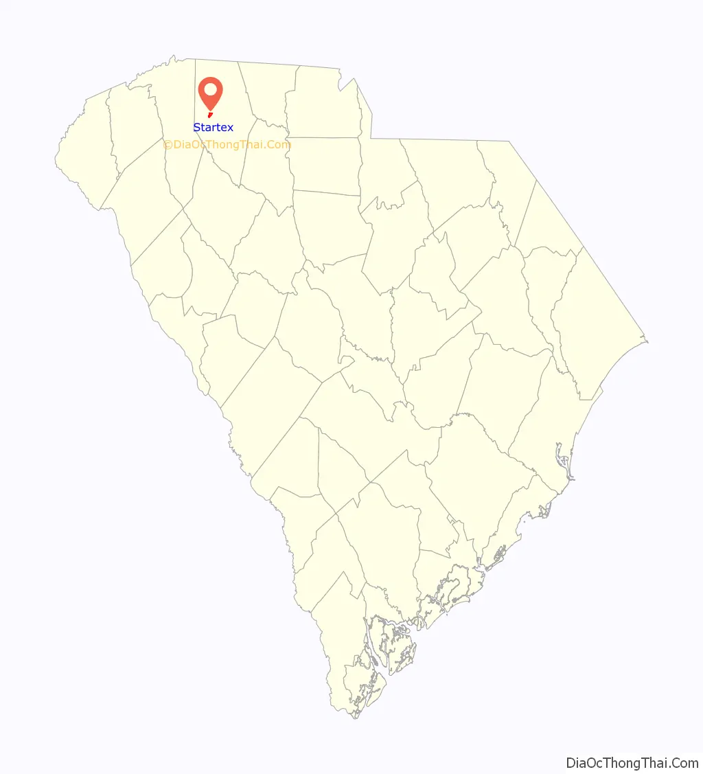
Startex location map. Where is Startex CDP?
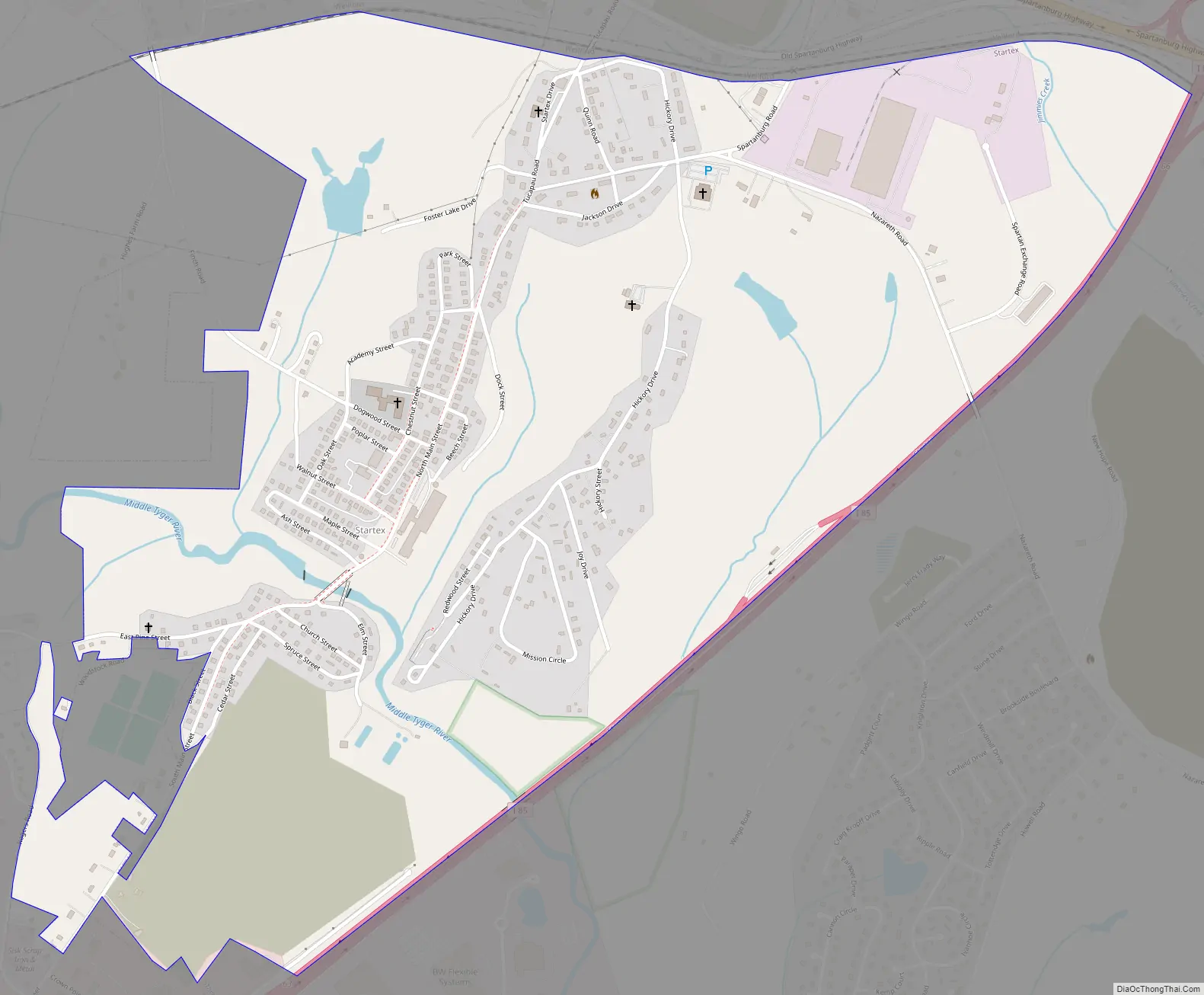
Startex Road Map
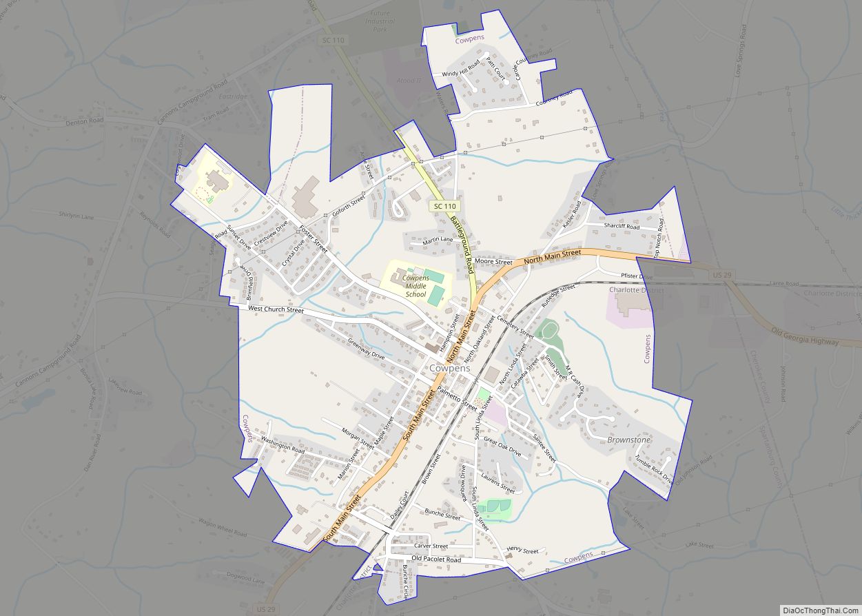
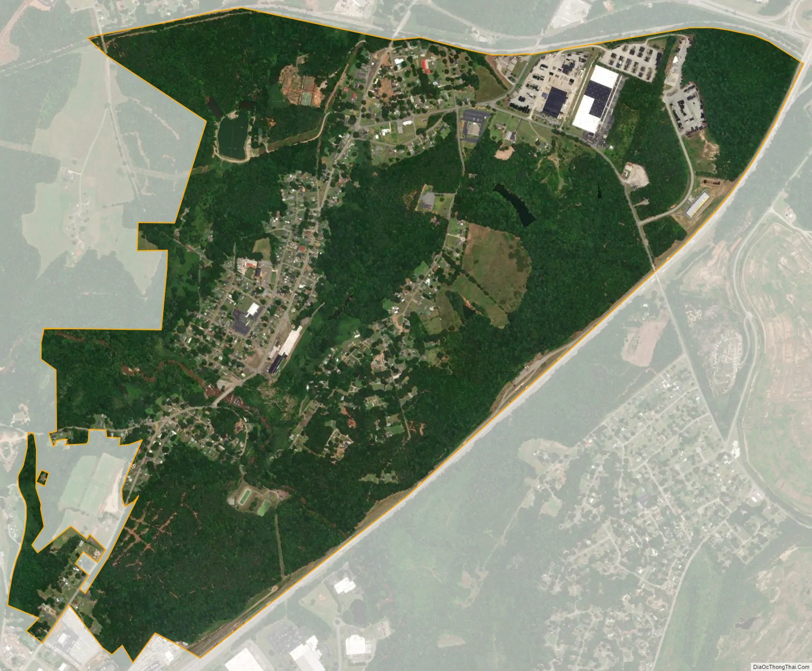
Startex city Satellite Map
Geography
Startex is located at 34°55′54″N 82°5′55″W / 34.93167°N 82.09861°W / 34.93167; -82.09861 (34.931672, -82.098691).
According to the United States Census Bureau, the CDP has a total area of 1.9 square miles (4.9 km), all land.
See also
Map of South Carolina State and its subdivision:- Abbeville
- Aiken
- Allendale
- Anderson
- Bamberg
- Barnwell
- Beaufort
- Berkeley
- Calhoun
- Charleston
- Cherokee
- Chester
- Chesterfield
- Clarendon
- Colleton
- Darlington
- Dillon
- Dorchester
- Edgefield
- Fairfield
- Florence
- Georgetown
- Greenville
- Greenwood
- Hampton
- Horry
- Jasper
- Kershaw
- Lancaster
- Laurens
- Lee
- Lexington
- Marion
- Marlboro
- McCormick
- Newberry
- Oconee
- Orangeburg
- Pickens
- Richland
- Saluda
- Spartanburg
- Sumter
- Union
- Williamsburg
- York
- Alabama
- Alaska
- Arizona
- Arkansas
- California
- Colorado
- Connecticut
- Delaware
- District of Columbia
- Florida
- Georgia
- Hawaii
- Idaho
- Illinois
- Indiana
- Iowa
- Kansas
- Kentucky
- Louisiana
- Maine
- Maryland
- Massachusetts
- Michigan
- Minnesota
- Mississippi
- Missouri
- Montana
- Nebraska
- Nevada
- New Hampshire
- New Jersey
- New Mexico
- New York
- North Carolina
- North Dakota
- Ohio
- Oklahoma
- Oregon
- Pennsylvania
- Rhode Island
- South Carolina
- South Dakota
- Tennessee
- Texas
- Utah
- Vermont
- Virginia
- Washington
- West Virginia
- Wisconsin
- Wyoming