Stateburg is a census-designated place (CDP) in the High Hills of Santee in Sumter County, South Carolina, United States. The population was 1,380 at the 2010 census. It is included in the Sumter, South Carolina Metropolitan Statistical Area. Stateburg is located within the larger Stateburg Historic District.
| Name: | Stateburg CDP |
|---|---|
| LSAD Code: | 57 |
| LSAD Description: | CDP (suffix) |
| State: | South Carolina |
| County: | Sumter County |
| Elevation: | 305 ft (93 m) |
| Total Area: | 4.69 sq mi (12.14 km²) |
| Land Area: | 4.66 sq mi (12.06 km²) |
| Water Area: | 0.03 sq mi (0.08 km²) |
| Total Population: | 1,593 |
| Population Density: | 342.14/sq mi (132.09/km²) |
| ZIP code: | 29150 |
| Area code: | 803, 839 |
| FIPS code: | 4569010 |
| GNISfeature ID: | 1251031 |
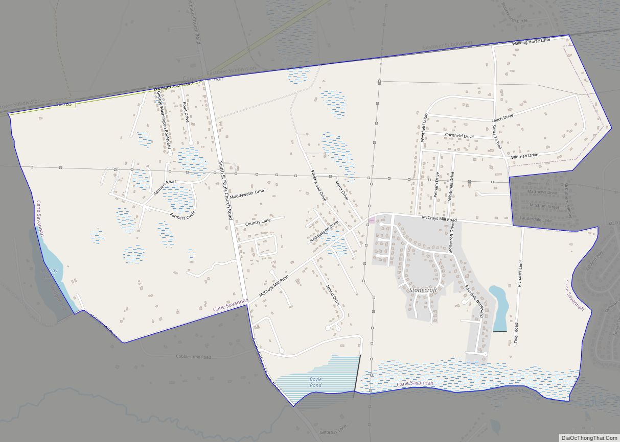
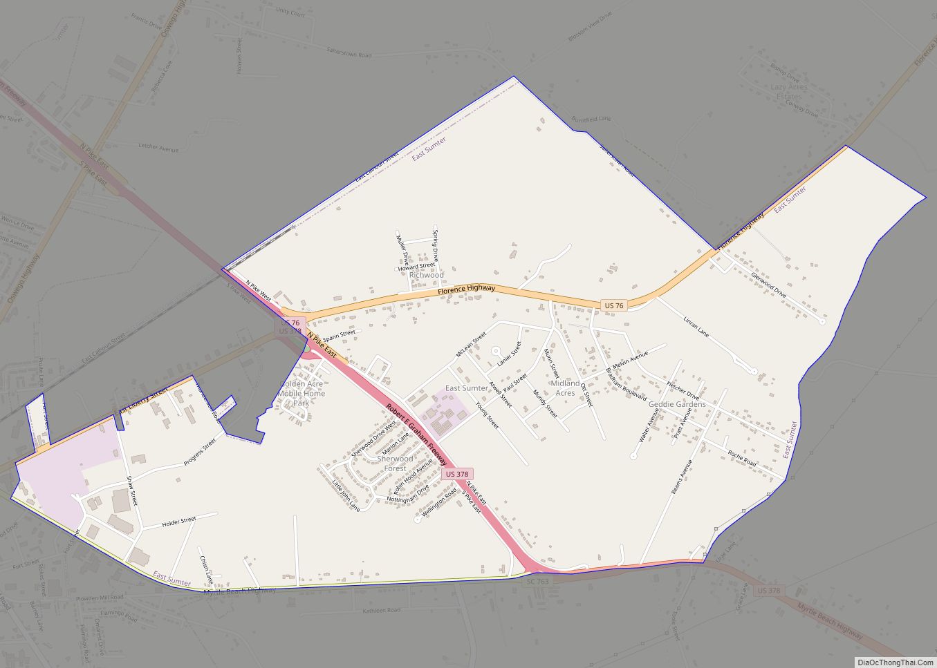
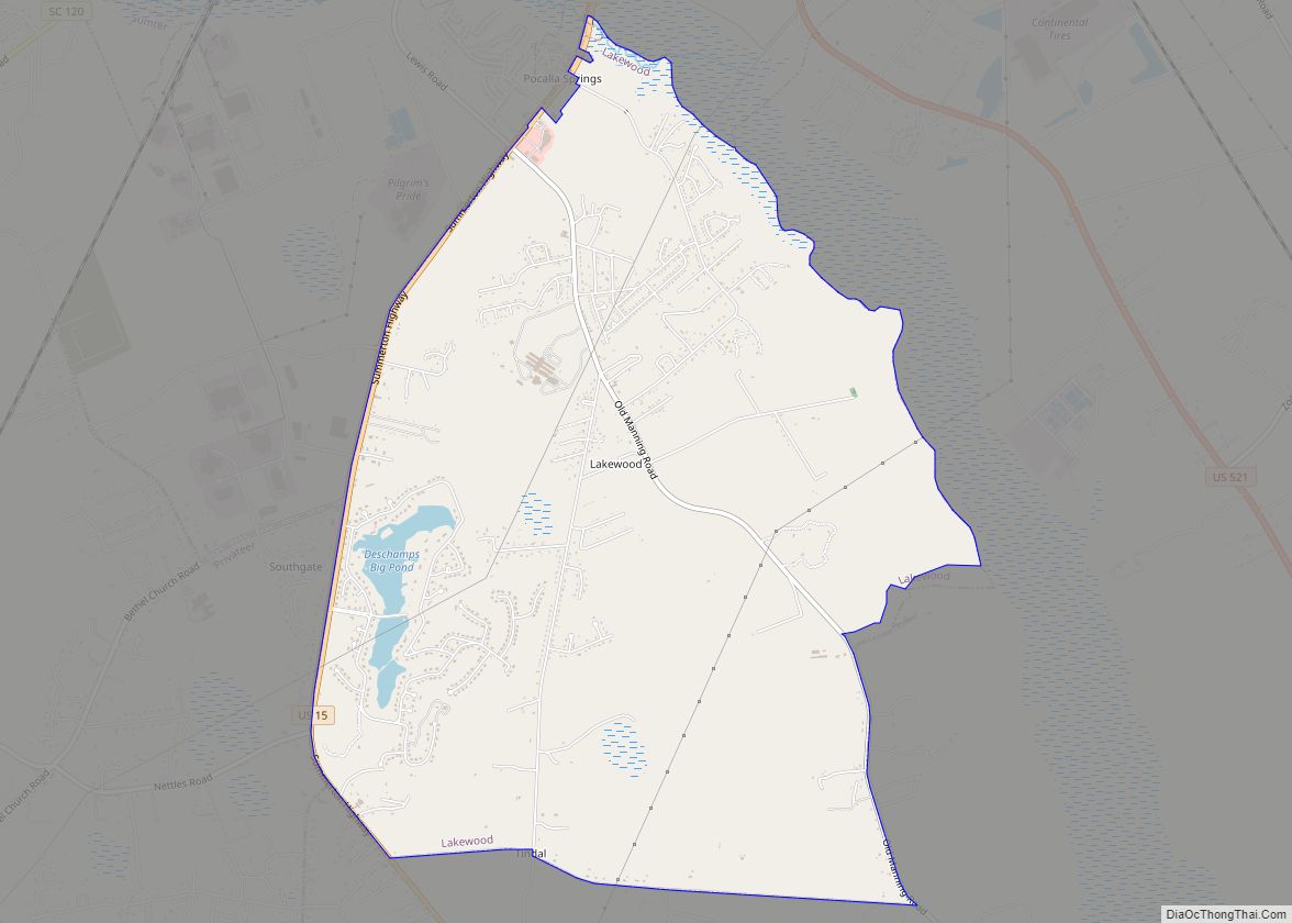
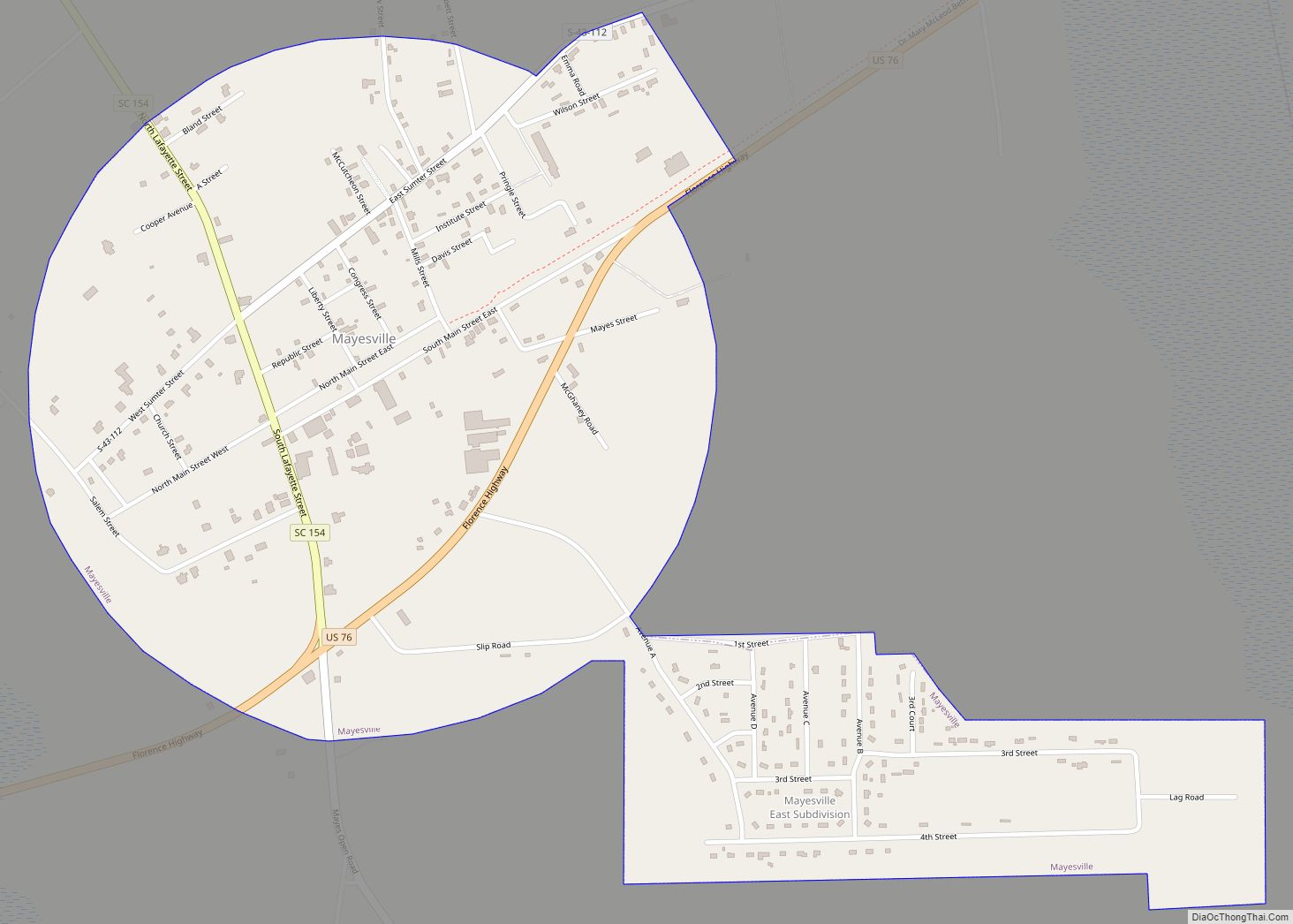
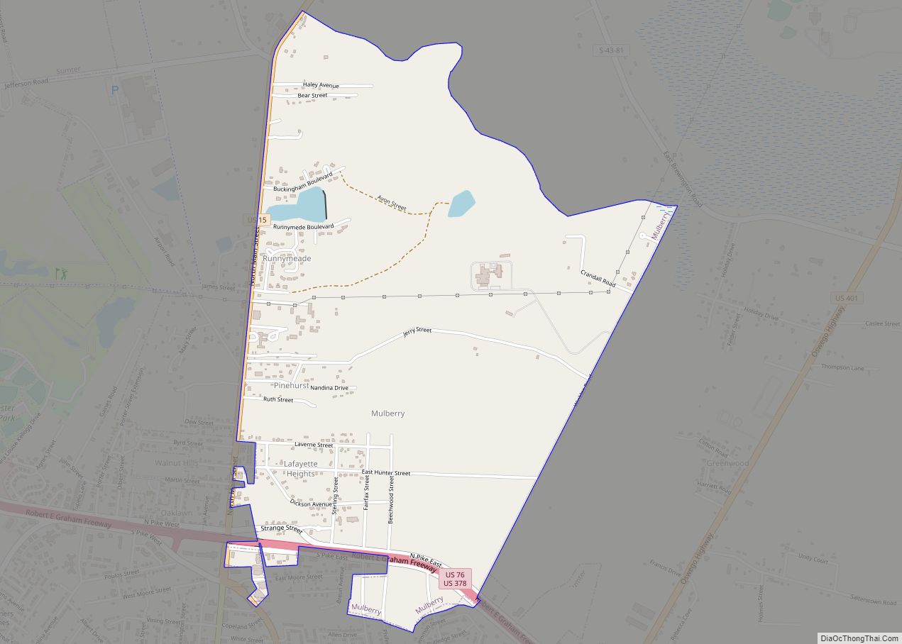
Online Interactive Map
Click on ![]() to view map in "full screen" mode.
to view map in "full screen" mode.
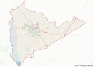
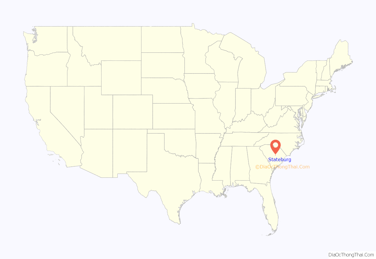
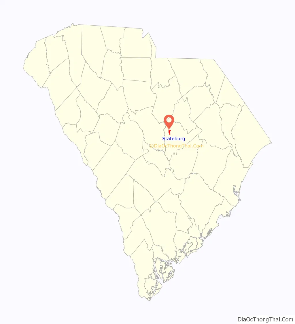
Stateburg location map. Where is Stateburg CDP?
History
Stateburg is located within a larger area in which many notable colonial & early South Carolinians owned homes to which they escaped the summertime malaria & other illnesses, High Hills of Santee. In the 1780s, after the South Carolina General Assembly decided to move the state capital from Charleston to the central part of the state, Stateburg lost by only a few votes to a place called Granby’s Ferry on the Congaree River near the confluence of the Broad and Saluda rivers. Granby’s Ferry soon was renamed Columbia, which is still the capital.
In 1785, Stateburg became the county seat of Claremont County and served as such until Claremont County was dissolved in 1800.
Borough House Plantation and Church of the Holy Cross are listed on the National Register of Historic Places.
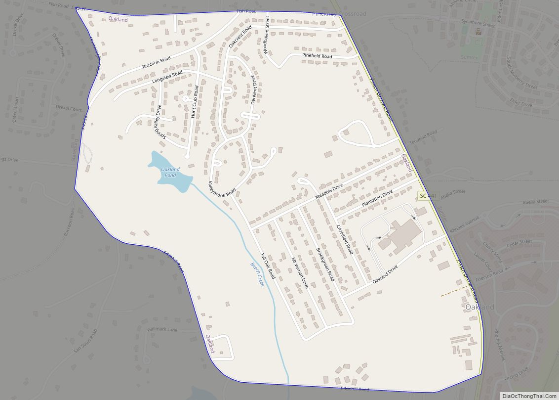
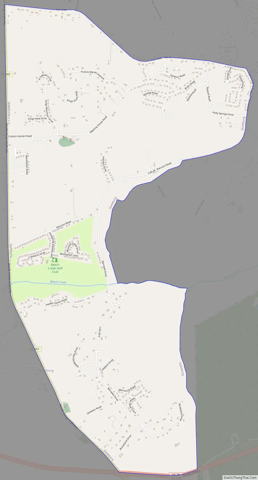
Stateburg Road Map
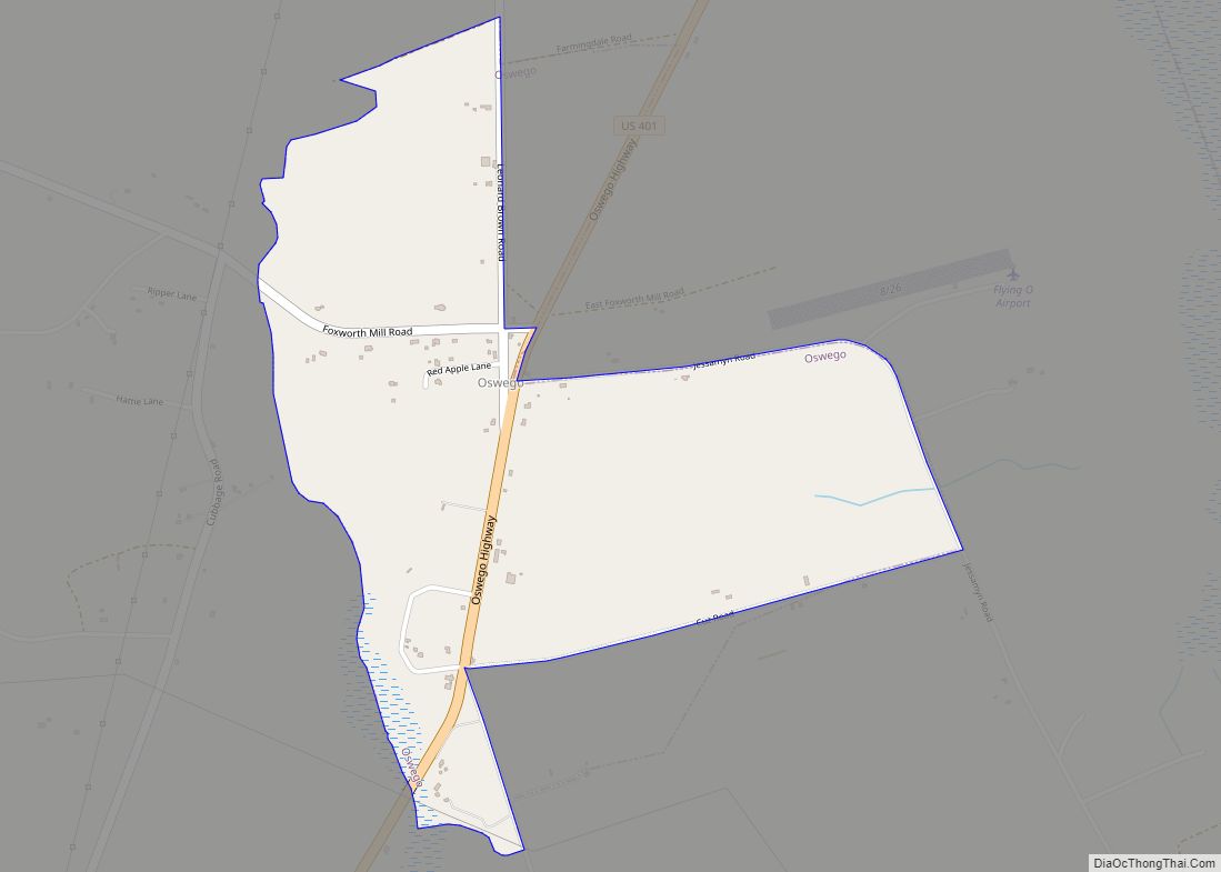
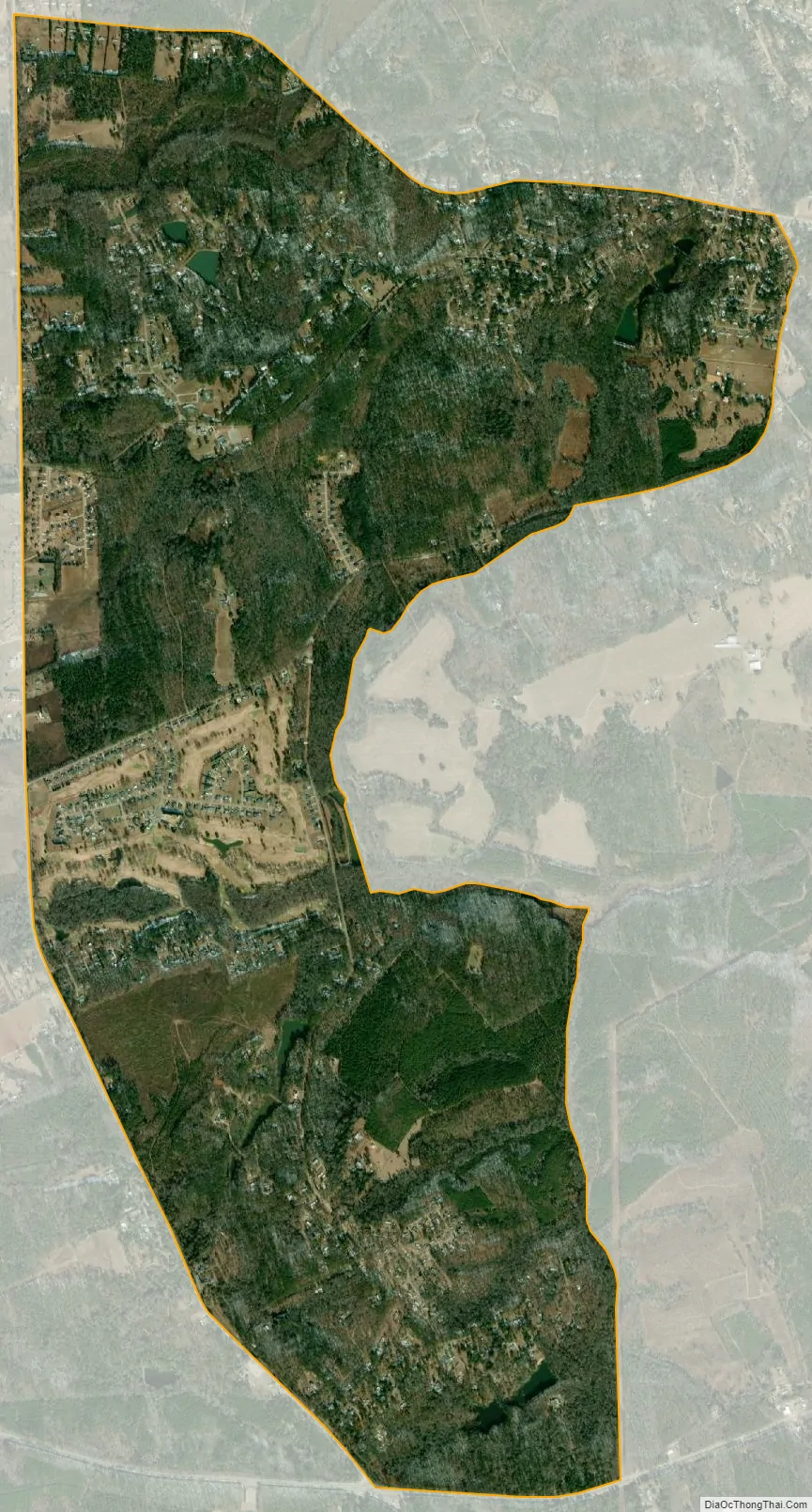
Stateburg city Satellite Map
Geography
Stateburg is located at 33°58′43″N 80°31′30″W / 33.97861°N 80.52500°W / 33.97861; -80.52500 (33.978524, -80.524951).
According to the United States Census Bureau, the CDP has a total area of 4.7 square miles (12.2 km), of which 4.7 square miles (12.1 km) is land and 0.04 square mile (0.1 km) (0.43%) is water.
See also
Map of South Carolina State and its subdivision:- Abbeville
- Aiken
- Allendale
- Anderson
- Bamberg
- Barnwell
- Beaufort
- Berkeley
- Calhoun
- Charleston
- Cherokee
- Chester
- Chesterfield
- Clarendon
- Colleton
- Darlington
- Dillon
- Dorchester
- Edgefield
- Fairfield
- Florence
- Georgetown
- Greenville
- Greenwood
- Hampton
- Horry
- Jasper
- Kershaw
- Lancaster
- Laurens
- Lee
- Lexington
- Marion
- Marlboro
- McCormick
- Newberry
- Oconee
- Orangeburg
- Pickens
- Richland
- Saluda
- Spartanburg
- Sumter
- Union
- Williamsburg
- York
- Alabama
- Alaska
- Arizona
- Arkansas
- California
- Colorado
- Connecticut
- Delaware
- District of Columbia
- Florida
- Georgia
- Hawaii
- Idaho
- Illinois
- Indiana
- Iowa
- Kansas
- Kentucky
- Louisiana
- Maine
- Maryland
- Massachusetts
- Michigan
- Minnesota
- Mississippi
- Missouri
- Montana
- Nebraska
- Nevada
- New Hampshire
- New Jersey
- New Mexico
- New York
- North Carolina
- North Dakota
- Ohio
- Oklahoma
- Oregon
- Pennsylvania
- Rhode Island
- South Carolina
- South Dakota
- Tennessee
- Texas
- Utah
- Vermont
- Virginia
- Washington
- West Virginia
- Wisconsin
- Wyoming