Troy is a town in Greenwood County, South Carolina, United States. The population was 93 at the 2010 census.
| Name: | Troy town |
|---|---|
| LSAD Code: | 43 |
| LSAD Description: | town (suffix) |
| State: | South Carolina |
| County: | Greenwood County |
| Elevation: | 512 ft (156 m) |
| Total Area: | 0.80 sq mi (2.07 km²) |
| Land Area: | 0.80 sq mi (2.07 km²) |
| Water Area: | 0.00 sq mi (0.00 km²) |
| Total Population: | 83 |
| Population Density: | 103.88/sq mi (40.11/km²) |
| ZIP code: | 29848 |
| Area code: | 864 |
| FIPS code: | 4572655 |
| GNISfeature ID: | 1251222 |
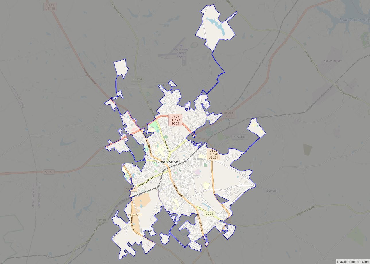
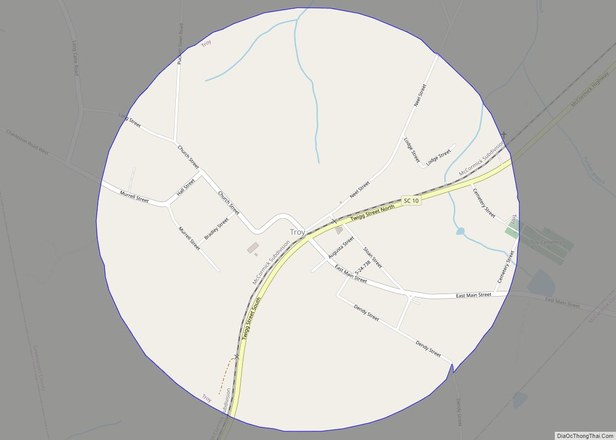
Online Interactive Map
Click on ![]() to view map in "full screen" mode.
to view map in "full screen" mode.
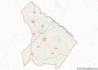
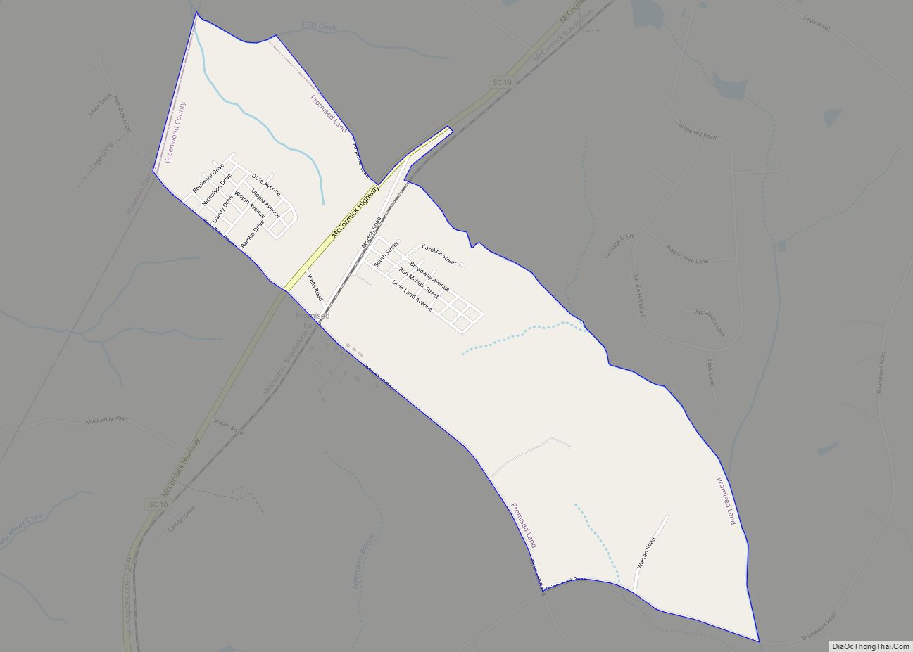
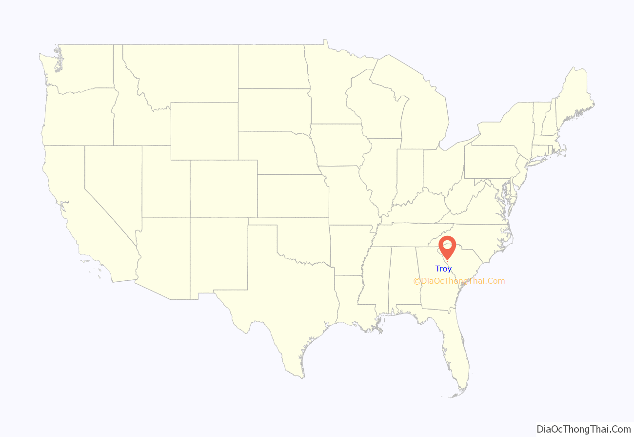
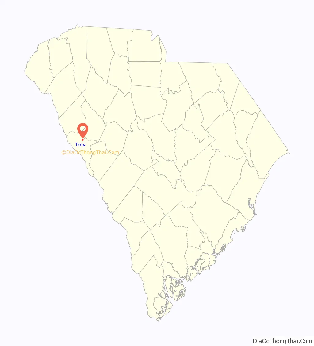
Troy location map. Where is Troy town?
History
The Long Cane Massacre Site and Lower Long Cane Associate Reformed Presbyterian Church are listed on the National Register of Historic Places.
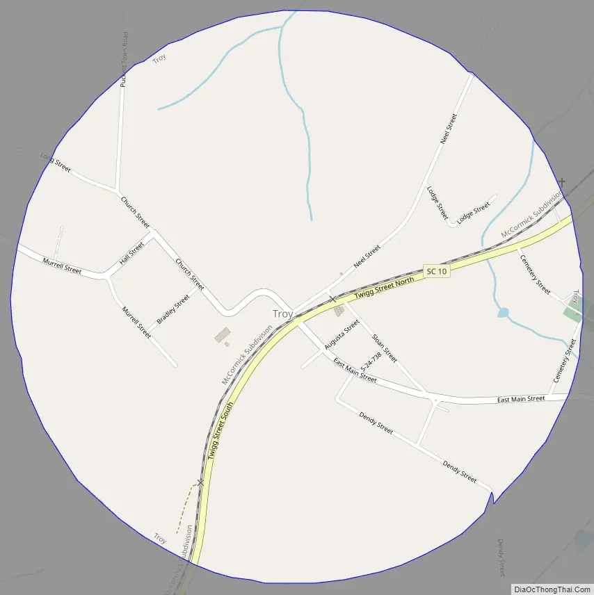
Troy Road Map
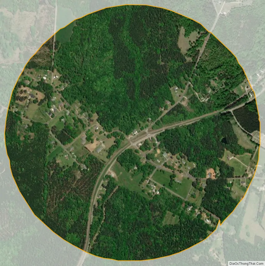
Troy city Satellite Map
Geography
Troy is located in the southwest corner of Greenwood County at 33°59′N 82°18′W / 33.983°N 82.300°W / 33.983; -82.300 (33.9869, -82.2958). South Carolina Highway 10 passes through the town, leading northeast 19 miles (31 km) to Greenwood, the county seat, and south 6 miles (10 km) to McCormick.
According to the United States Census Bureau, the town has a total area of 0.81 square miles (2.1 km), all land.
See also
Map of South Carolina State and its subdivision:- Abbeville
- Aiken
- Allendale
- Anderson
- Bamberg
- Barnwell
- Beaufort
- Berkeley
- Calhoun
- Charleston
- Cherokee
- Chester
- Chesterfield
- Clarendon
- Colleton
- Darlington
- Dillon
- Dorchester
- Edgefield
- Fairfield
- Florence
- Georgetown
- Greenville
- Greenwood
- Hampton
- Horry
- Jasper
- Kershaw
- Lancaster
- Laurens
- Lee
- Lexington
- Marion
- Marlboro
- McCormick
- Newberry
- Oconee
- Orangeburg
- Pickens
- Richland
- Saluda
- Spartanburg
- Sumter
- Union
- Williamsburg
- York
- Alabama
- Alaska
- Arizona
- Arkansas
- California
- Colorado
- Connecticut
- Delaware
- District of Columbia
- Florida
- Georgia
- Hawaii
- Idaho
- Illinois
- Indiana
- Iowa
- Kansas
- Kentucky
- Louisiana
- Maine
- Maryland
- Massachusetts
- Michigan
- Minnesota
- Mississippi
- Missouri
- Montana
- Nebraska
- Nevada
- New Hampshire
- New Jersey
- New Mexico
- New York
- North Carolina
- North Dakota
- Ohio
- Oklahoma
- Oregon
- Pennsylvania
- Rhode Island
- South Carolina
- South Dakota
- Tennessee
- Texas
- Utah
- Vermont
- Virginia
- Washington
- West Virginia
- Wisconsin
- Wyoming