Wellford is a city in Spartanburg County, South Carolina, United States. The population was 2,378 at the 2010 census, up from 2,030 in 2000.
| Name: | Wellford city |
|---|---|
| LSAD Code: | 25 |
| LSAD Description: | city (suffix) |
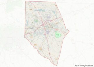
| State: | South Carolina |
| County: | Spartanburg County |
| Elevation: | 774 ft (236 m) |
| Total Area: | 4.61 sq mi (11.93 km²) |
| Land Area: | 4.58 sq mi (11.86 km²) |
| Water Area: | 0.03 sq mi (0.07 km²) |
| Total Population: | 3,293 |
| Population Density: | 719.31/sq mi (277.75/km²) |
| ZIP code: | 29385 |
| Area code: | 864 |
| FIPS code: | 4575580 |
| GNISfeature ID: | 2405703 |
| Website: | www.cityofwellford.com |
Online Interactive Map
Click on ![]() to view map in "full screen" mode.
to view map in "full screen" mode.
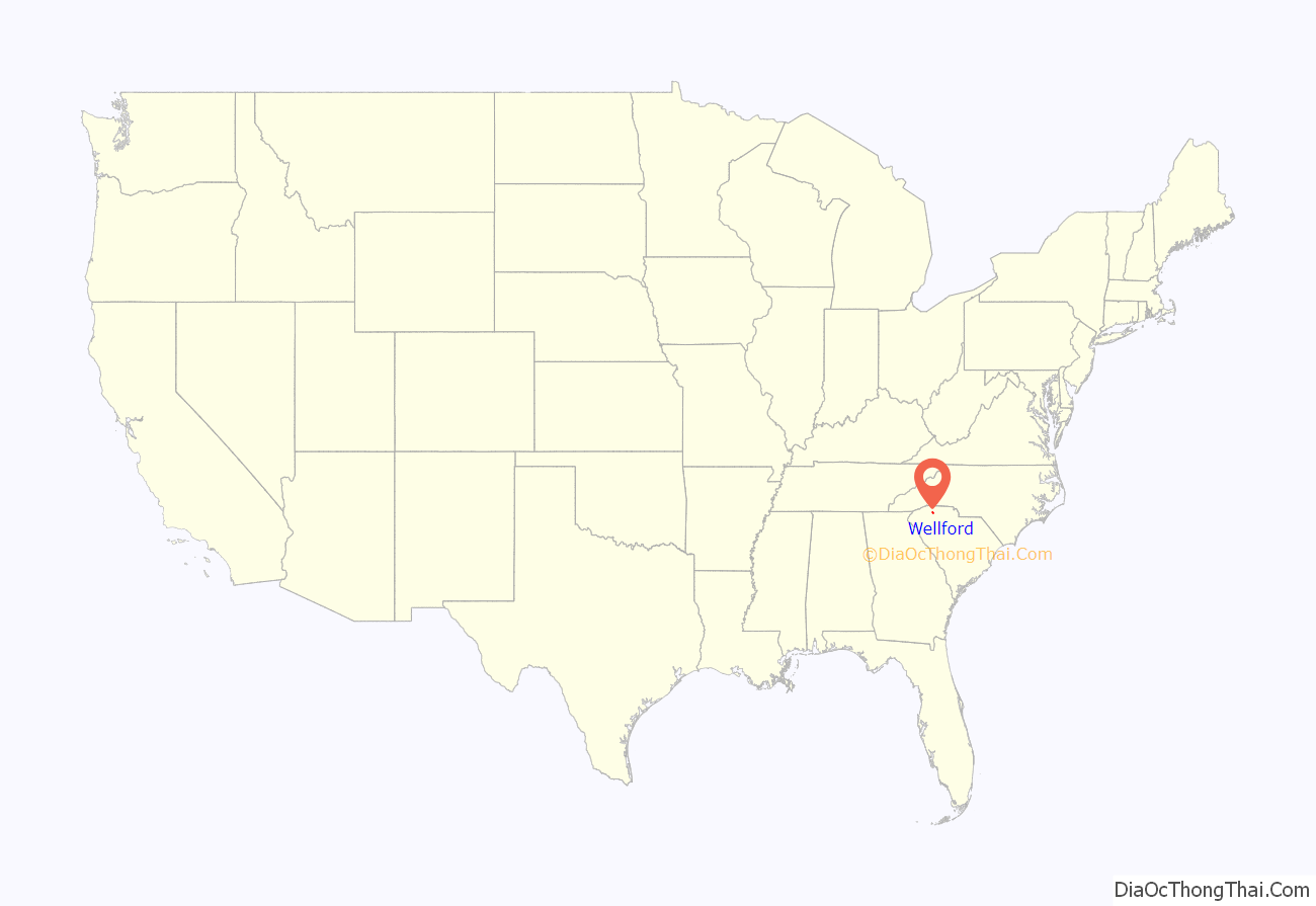
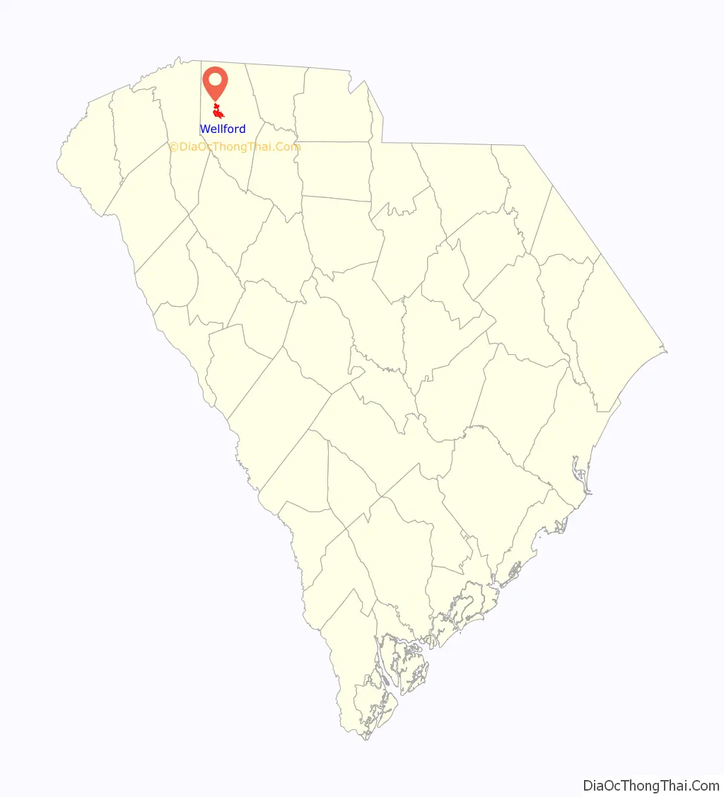
Wellford location map. Where is Wellford city?
History
Wellford was founded in 1840 by a man named Wellington, who was building a railroad in the area. He settled and named the town Wellington. When the town was chartered on December 9, 1882, the name was changed to Wellford.
New Hope Farm was listed on the National Register of Historic Places in 1999.
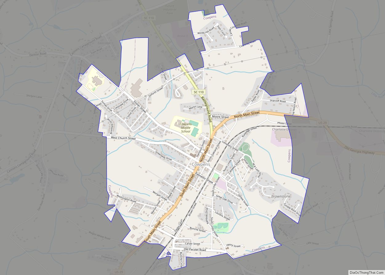
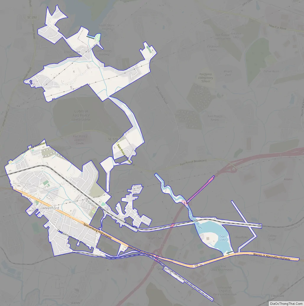
Wellford Road Map
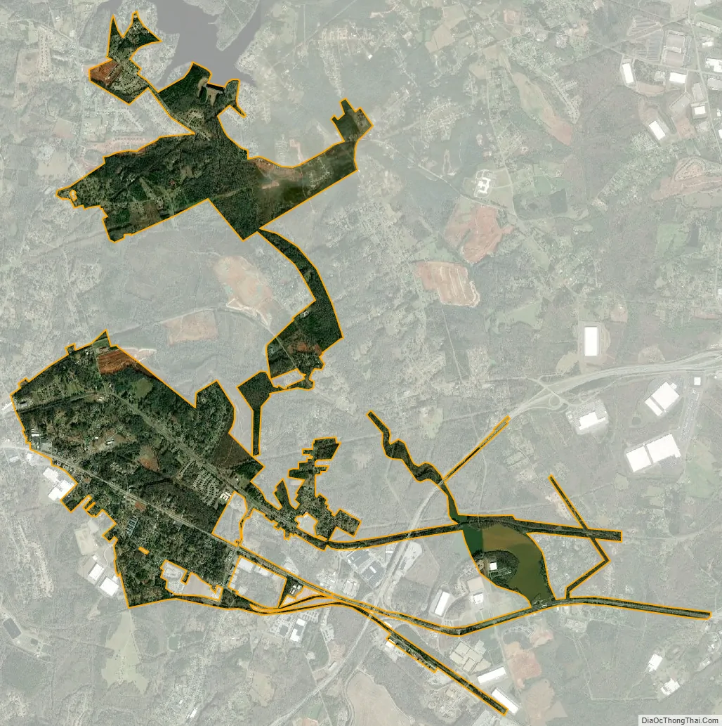
Wellford city Satellite Map
Geography
Wellford is located at 34°57′4″N 82°5′55″W / 34.95111°N 82.09861°W / 34.95111; -82.09861 (34.951087, -82.098497).
According to the United States Census Bureau, the city has a total area of 2.0 square miles (5.3 km), all land.
See also
Map of South Carolina State and its subdivision:- Abbeville
- Aiken
- Allendale
- Anderson
- Bamberg
- Barnwell
- Beaufort
- Berkeley
- Calhoun
- Charleston
- Cherokee
- Chester
- Chesterfield
- Clarendon
- Colleton
- Darlington
- Dillon
- Dorchester
- Edgefield
- Fairfield
- Florence
- Georgetown
- Greenville
- Greenwood
- Hampton
- Horry
- Jasper
- Kershaw
- Lancaster
- Laurens
- Lee
- Lexington
- Marion
- Marlboro
- McCormick
- Newberry
- Oconee
- Orangeburg
- Pickens
- Richland
- Saluda
- Spartanburg
- Sumter
- Union
- Williamsburg
- York
- Alabama
- Alaska
- Arizona
- Arkansas
- California
- Colorado
- Connecticut
- Delaware
- District of Columbia
- Florida
- Georgia
- Hawaii
- Idaho
- Illinois
- Indiana
- Iowa
- Kansas
- Kentucky
- Louisiana
- Maine
- Maryland
- Massachusetts
- Michigan
- Minnesota
- Mississippi
- Missouri
- Montana
- Nebraska
- Nevada
- New Hampshire
- New Jersey
- New Mexico
- New York
- North Carolina
- North Dakota
- Ohio
- Oklahoma
- Oregon
- Pennsylvania
- Rhode Island
- South Carolina
- South Dakota
- Tennessee
- Texas
- Utah
- Vermont
- Virginia
- Washington
- West Virginia
- Wisconsin
- Wyoming