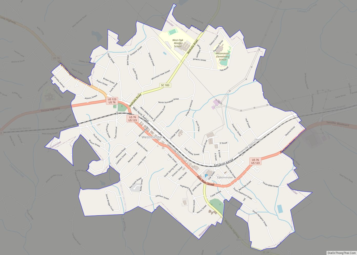
Westminster is a city in Oconee County, South Carolina, United States. The population was 2,418 at the 2010 census.
| Name: | Westminster city |
|---|---|
| LSAD Code: | 25 |
| LSAD Description: | city (suffix) |
| State: | South Carolina |
| County: | Oconee County |
| Elevation: | 929 ft (283 m) |
| Total Area: | 3.45 sq mi (8.94 km²) |
| Land Area: | 3.45 sq mi (8.93 km²) |
| Water Area: | 0.00 sq mi (0.01 km²) |
| Total Population: | 2,353 |
| Population Density: | 682.82/sq mi (263.60/km²) |
| ZIP code: | 29693 |
| Area code: | 864 |
| FIPS code: | 4576165 |
| GNISfeature ID: | 1227504 |
| Website: | www.westminstersc.org |
Online Interactive Map
Click on ![]() to view map in "full screen" mode.
to view map in "full screen" mode.
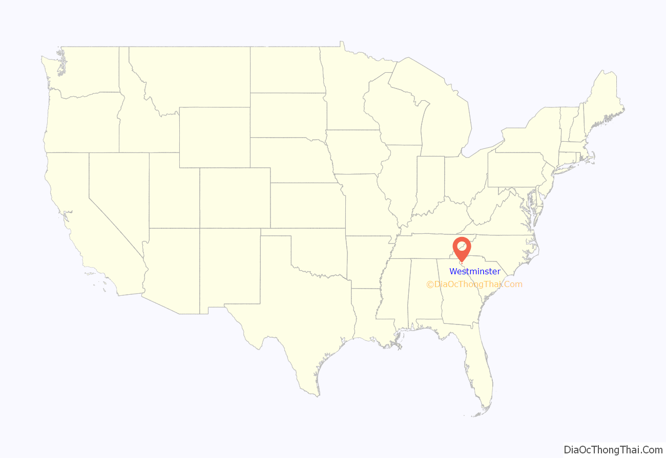
Westminster location map. Where is Westminster city?
History
Westminster was founded in 1874 upon completion of the Atlanta and Richmond Air-Line Railway and incorporated on March 17, 1875 when the charter was signed. It was founded as a water stop on the Southern Railway. As stores, shops and factories started to set up around the train stop, it bloomed into a decent-sized town. Its peak of expansion came in the 1920s.
The Retreat Rosenwald School and Southern Railway Passenger Station are listed on the National Register of Historic Places.
The Apple Festival is celebrated annually.
Westminster Road Map
Westminster city Satellite Map
Geography
Westminster is located at 34°39′59″N 83°5′43″W / 34.66639°N 83.09528°W / 34.66639; -83.09528 (34.666292, -83.095352).
According to the United States Census Bureau, the city has a total area of 3.4 square miles (8.9 km), all land.
Located in the foothills of the Blue Ridge Mountains, Westminster is surrounded by several rivers, 150 waterfalls, and two major lakes.
See also
Map of South Carolina State and its subdivision:- Abbeville
- Aiken
- Allendale
- Anderson
- Bamberg
- Barnwell
- Beaufort
- Berkeley
- Calhoun
- Charleston
- Cherokee
- Chester
- Chesterfield
- Clarendon
- Colleton
- Darlington
- Dillon
- Dorchester
- Edgefield
- Fairfield
- Florence
- Georgetown
- Greenville
- Greenwood
- Hampton
- Horry
- Jasper
- Kershaw
- Lancaster
- Laurens
- Lee
- Lexington
- Marion
- Marlboro
- McCormick
- Newberry
- Oconee
- Orangeburg
- Pickens
- Richland
- Saluda
- Spartanburg
- Sumter
- Union
- Williamsburg
- York
- Alabama
- Alaska
- Arizona
- Arkansas
- California
- Colorado
- Connecticut
- Delaware
- District of Columbia
- Florida
- Georgia
- Hawaii
- Idaho
- Illinois
- Indiana
- Iowa
- Kansas
- Kentucky
- Louisiana
- Maine
- Maryland
- Massachusetts
- Michigan
- Minnesota
- Mississippi
- Missouri
- Montana
- Nebraska
- Nevada
- New Hampshire
- New Jersey
- New Mexico
- New York
- North Carolina
- North Dakota
- Ohio
- Oklahoma
- Oregon
- Pennsylvania
- Rhode Island
- South Carolina
- South Dakota
- Tennessee
- Texas
- Utah
- Vermont
- Virginia
- Washington
- West Virginia
- Wisconsin
- Wyoming
