Meade County is a county in the U.S. state of South Dakota. As of the 2020 United States Census, the population was 29,852. Its county seat is Sturgis. The county was created in 1889 and named for Fort Meade, which was garrisoned as a United States military post in the area in 1878 and itself named for General George Meade.
Meade County is part of the Rapid City Metropolitan Statistical Area.
| Name: | Meade County |
|---|---|
| FIPS code: | 46-093 |
| State: | South Dakota |
| Founded: | February 7, 1889 |
| Named for: | George Meade |
| Seat: | Sturgis |
| Largest city: | Sturgis |
| Total Area: | 3,483 sq mi (9,020 km²) |
| Land Area: | 3,471 sq mi (8,990 km²) |
| Total Population: | 29,852 |
| Population Density: | 8.6/sq mi (3.3/km²) |
| Time zone: | UTC−7 (Mountain) |
| Summer Time Zone (DST): | UTC−6 (MDT) |
| Website: | www.meadecounty.org |
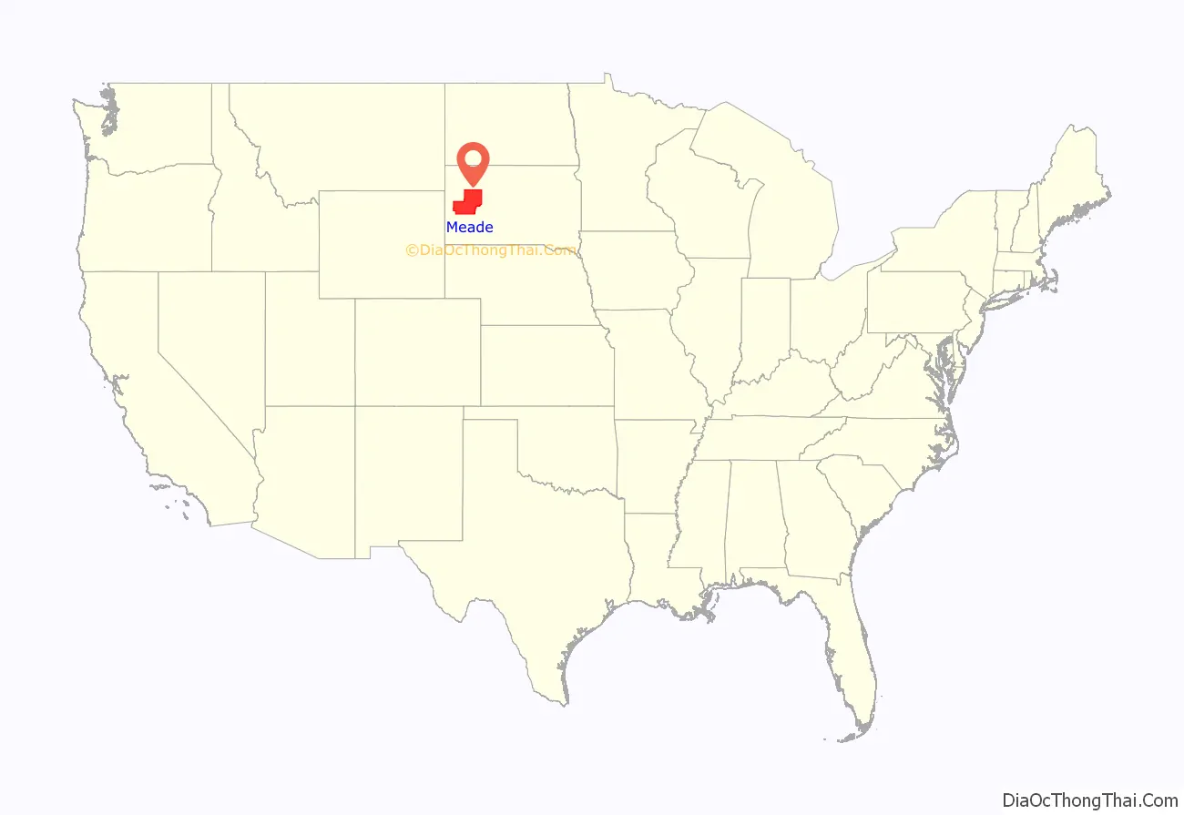
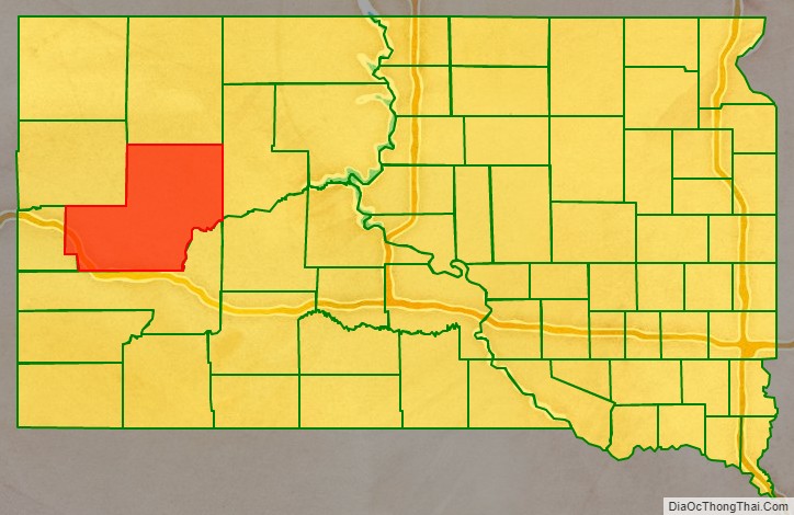
Meade County location map. Where is Meade County?
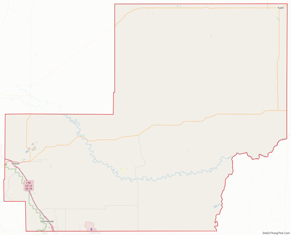
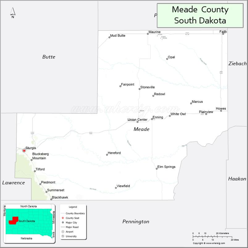
Meade County Road Map
Geography
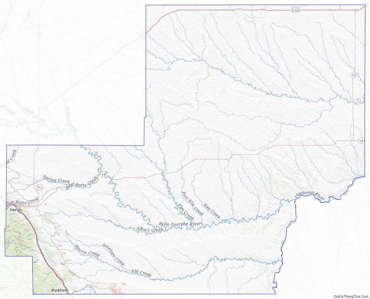
The upper part of Meade County is drained by Cherry Creek. The Cheyenne River flows northeastward along the southeast boundary of the county. The county terrain has mountain ridges in the west and southwest areas, with the remainder consisting of semi-arid rolling hills, partly dedicated to agriculture. The county terrain slopes to the east and northeast; its highest point Flagstaff Mountain is near the southwest corner, at 5,421′ (1566m) ASL.
The county has an area of 3,483 square miles (9,020 km), of which 3,471 square miles (8,990 km) is land and 12 square miles (31 km) (0.3%) is water. It is South Dakota’s largest county by area.
Major highways
- Interstate 90
- U.S. Highway 14
- U.S. Highway 14A
- U.S. Highway 212
- South Dakota Highway 34
- South Dakota Highway 73
- South Dakota Highway 79
Adjacent counties
- Perkins County – north
- Ziebach County – east
- Haakon County -southeast
- Pennington County – south
- Lawrence County – southwest
- Butte County – northwest
Protected areas
- Bear Butte Lake State Lakeside Use Area
- Bear Butte National Wildlife Refuge
- Bear Butte State Park
- Black Hills National Cemetery
- Black Hills National Forest (partial)
- Curlew Lake State Game Production Area
- Marcotte State Game Production Area
- Tisdale Lake State Game Production Area
- Opal Lake State Game Production Area
Lakes
- Bear Butte Lake
- Curlew Lake
- Durkee Lake
- Opal Lake
- Tisdale Dam
Meade County Topographic Map
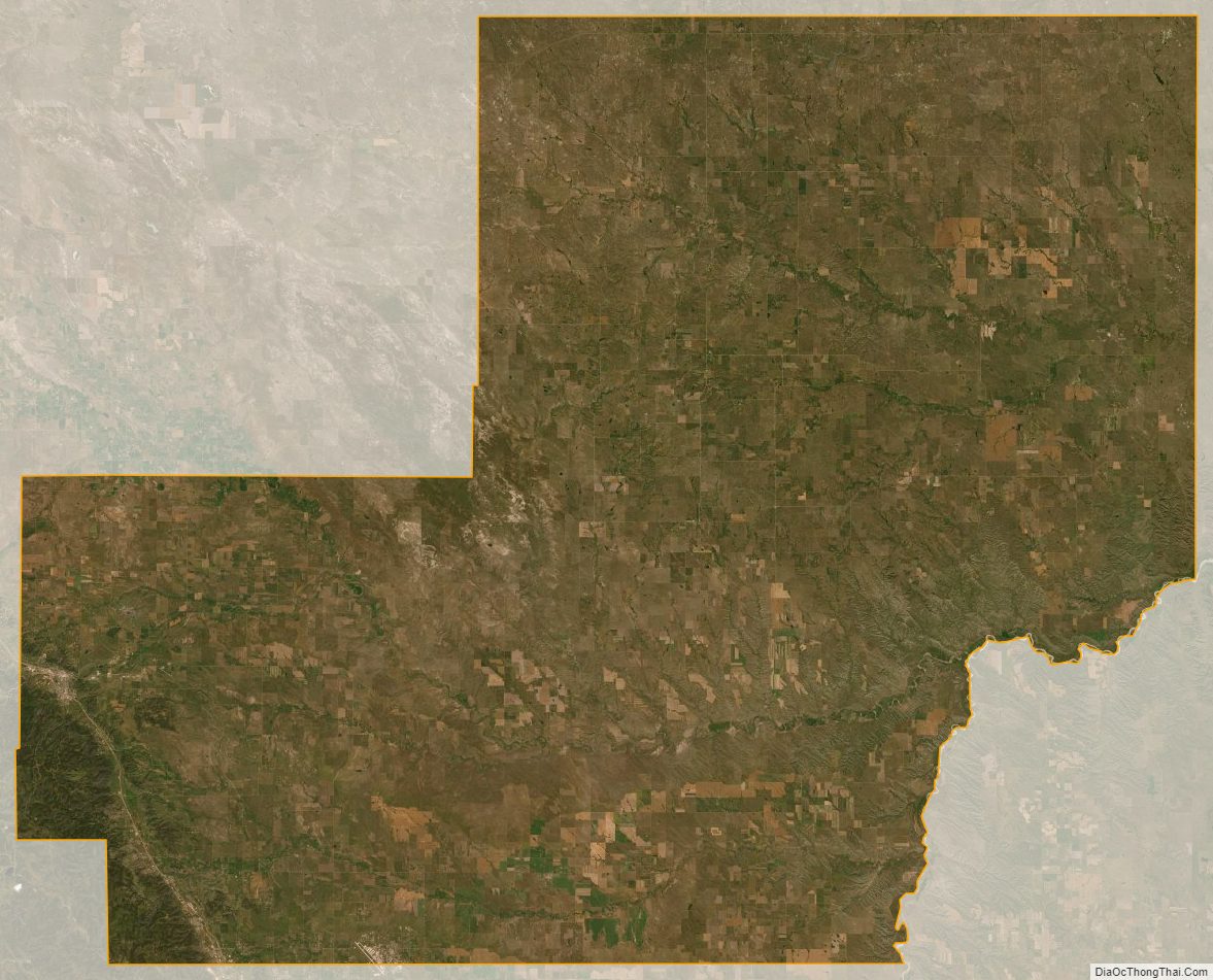
Meade County Satellite Map
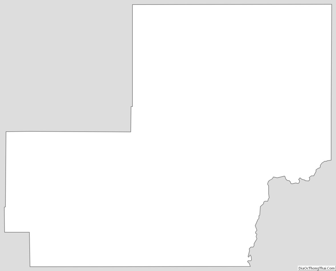
Meade County Outline Map
See also
Map of South Dakota State and its subdivision:- Aurora
- Beadle
- Bennett
- Bon Homme
- Brookings
- Brown
- Brule
- Buffalo
- Butte
- Campbell
- Charles Mix
- Clark
- Clay
- Codington
- Corson
- Custer
- Davison
- Day
- Deuel
- Dewey
- Douglas
- Edmunds
- Fall River
- Faulk
- Grant
- Gregory
- Haakon
- Hamlin
- Hand
- Hanson
- Harding
- Hughes
- Hutchinson
- Hyde
- Jackson
- Jerauld
- Jones
- Kingsbury
- Lake
- Lawrence
- Lincoln
- Lyman
- Marshall
- McCook
- McPherson
- Meade
- Mellette
- Miner
- Minnehaha
- Moody
- Pennington
- Perkins
- Potter
- Roberts
- Sanborn
- Shannon
- Spink
- Stanley
- Sully
- Todd
- Tripp
- Turner
- Union
- Walworth
- Yankton
- Ziebach
- Alabama
- Alaska
- Arizona
- Arkansas
- California
- Colorado
- Connecticut
- Delaware
- District of Columbia
- Florida
- Georgia
- Hawaii
- Idaho
- Illinois
- Indiana
- Iowa
- Kansas
- Kentucky
- Louisiana
- Maine
- Maryland
- Massachusetts
- Michigan
- Minnesota
- Mississippi
- Missouri
- Montana
- Nebraska
- Nevada
- New Hampshire
- New Jersey
- New Mexico
- New York
- North Carolina
- North Dakota
- Ohio
- Oklahoma
- Oregon
- Pennsylvania
- Rhode Island
- South Carolina
- South Dakota
- Tennessee
- Texas
- Utah
- Vermont
- Virginia
- Washington
- West Virginia
- Wisconsin
- Wyoming