Loma Linda (Spanish for “Beautiful Hill”) is a city in San Bernardino County, California, United States, that was incorporated in 1970. The population was 24,791 at the 2020 census, up from 23,261 at the 2010 census. The central area of the city was originally known as Mound City, while its eastern half was originally the unincorporated community of Bryn Mawr.
| Name: | Loma Linda city |
|---|---|
| LSAD Code: | 25 |
| LSAD Description: | city (suffix) |
| State: | California |
| County: | San Bernardino County |
| Incorporated: | September 29, 1970 |
| Elevation: | 1,165 ft (355 m) |
| Total Area: | 7.64 sq mi (19.79 km²) |
| Land Area: | 7.64 sq mi (19.79 km²) |
| Water Area: | 0.00 sq mi (0.00 km²) 0.01% |
| Total Population: | 24,791 |
| Population Density: | 3,200/sq mi (1,300/km²) |
| Area code: | 909 |
| FIPS code: | 0642370 |
| Website: | www.lomalinda-ca.gov |
Online Interactive Map
Click on ![]() to view map in "full screen" mode.
to view map in "full screen" mode.
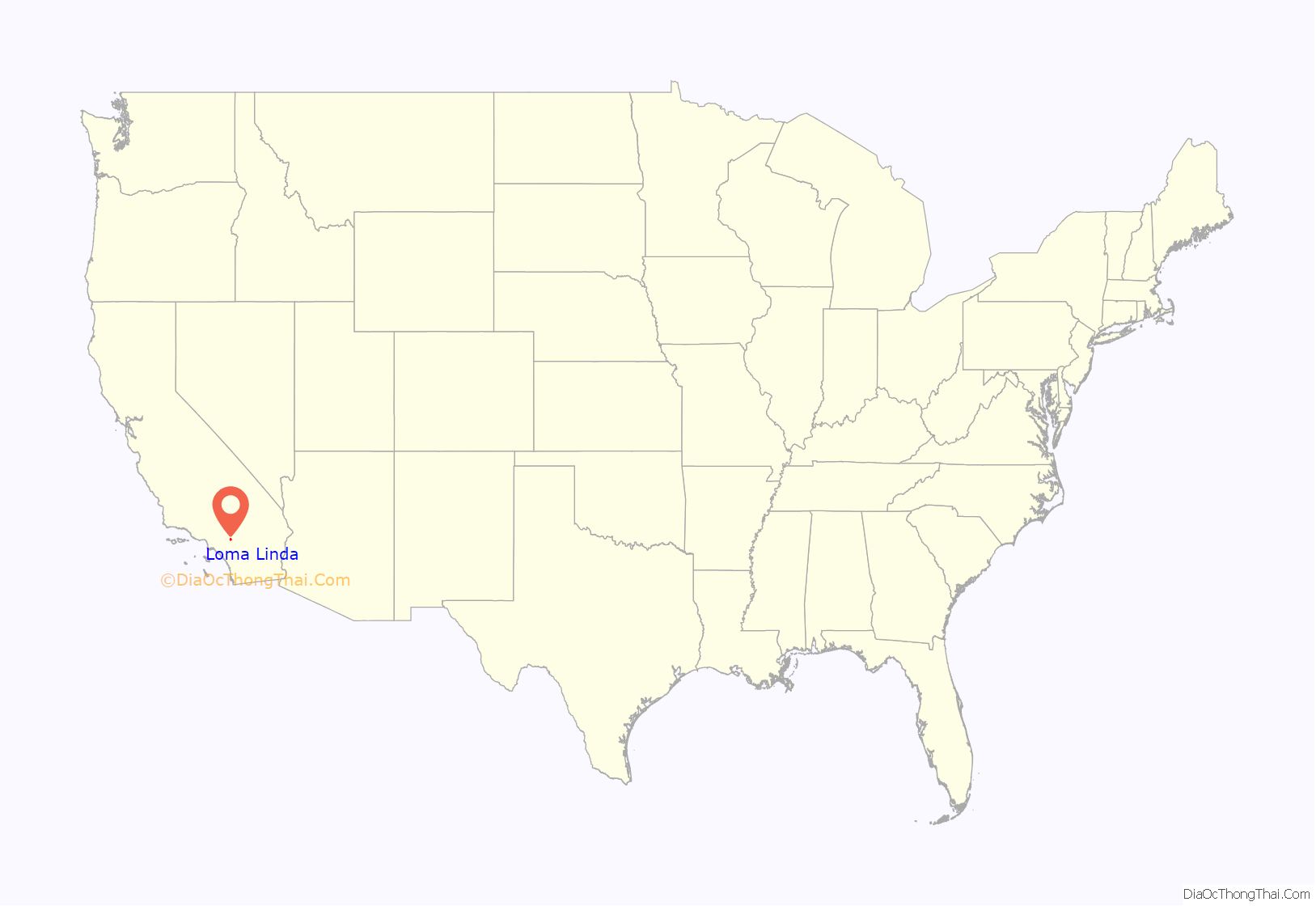
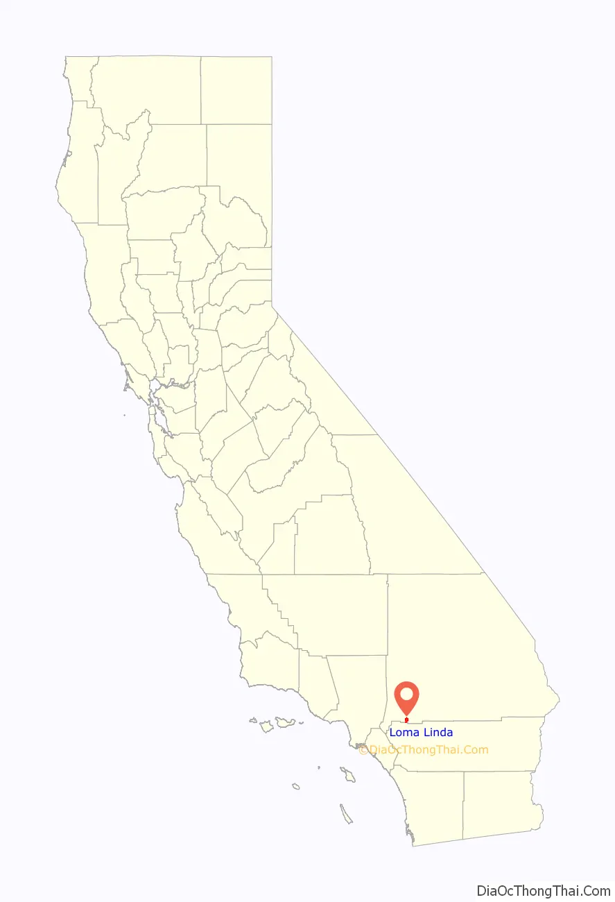
Loma Linda location map. Where is Loma Linda city?
History
The Tongva village of Wa’aachnga, or as the Spanish referred to it as the Guachama Rancheria, was located at what is now Loma Linda. The rancheria was later occupied by the Cahuilla and Serrano after it was established as a mission outpost for Mission San Gabriel in the early 1800s.
In the late 1800s, Loma Linda began as a development of tourist halls called Mound City, as encouraged by railroad companies. Shops and cottages were built, but the project would later fail. During the late 1890s, a group of businessmen and physicians from Los Angeles bought the Mound City Hotel and reopened it as a convalescent home and health resort. They called it Loma Linda, meaning ‘beautiful hill’ in Spanish.
In 1905 Seventh-day Adventists John Burden and Ellen G. White purchased the Loma Linda Hotel and property and reopened it as the Loma Linda Sanitarium. In February 1906, The Loma Linda College of Evangelists was established.
In 1969, San Timoteo Creek overflowed its banks, inundating two-thirds of Loma Linda. Many of the bridges over the creek washed away, and Loma Linda Academy was completely flooded. In 2010, the creek again flooded parts of Loma Linda.
The city was incorporated in 1970.
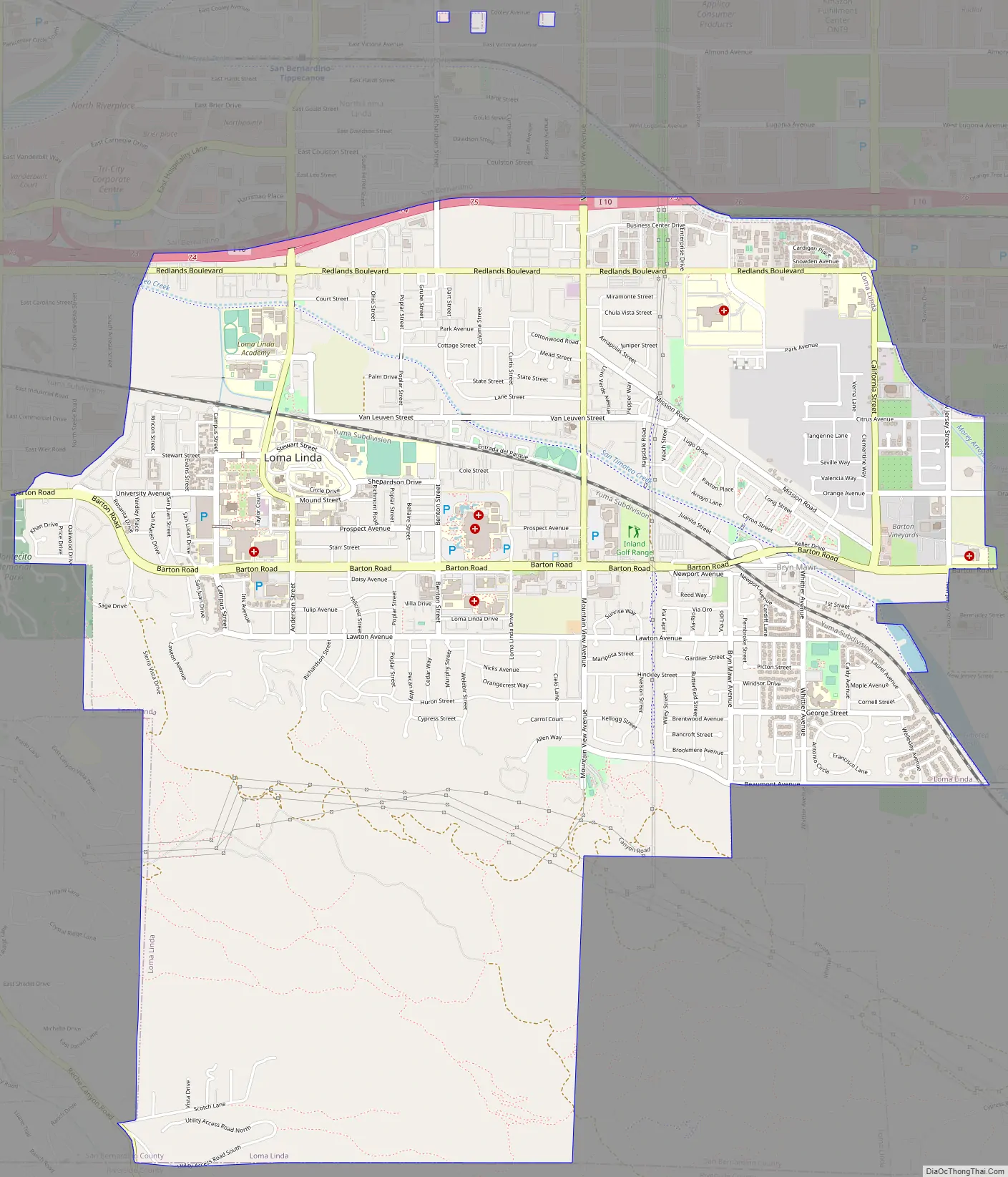
Loma Linda Road Map
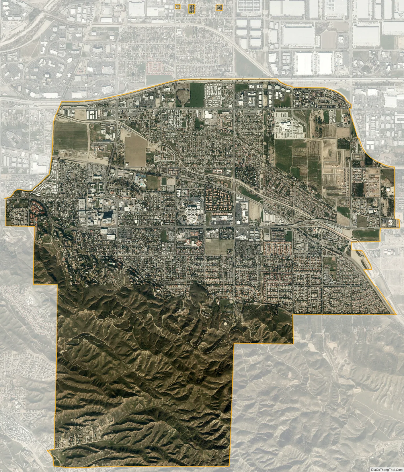
Loma Linda city Satellite Map
Geography
Loma Linda is located in southwestern San Bernardino County and is considered part of the Inland Empire. It is bordered on the north by the city of San Bernardino, on the east by Redlands, on the west by Colton, and on the south by Riverside County. An area of unincorporated territory in Riverside County separates Loma Linda from the city of Moreno Valley to the south. The remnants of Bryn Mawr, an unincorporated community formerly located between Loma Linda and Redlands, were annexed by the city in 2008.
Loma Linda is in the southern San Bernardino Valley. The southern third of the city is known as the South Hills; this rugged and hilly area at the northwestern end of the Badlands is a city-owned open space reserve protected by a local initiative. San Timoteo Creek flows from southeast to northwest through the city.
According to the United States Census Bureau, the city has a total area of 7.5 square miles (19 km), 99.99% of it land.
Water contamination and air pollution
Ground water near Loma Linda is contaminated by a plume of the chemical perchlorate which was used in the manufacturing of solid rocket fuel. This chemical was also formerly (decades ago and in very small amounts) prescribed by physicians to control the overactive thyroid glands of certain patients. A nearby plant operated by Lockheed Aerospace has been implicated in the improper disposal of the rocket fuel ingredient, which leached into the ground water northeast of Loma Linda. Loma Linda’s municipal water supply, nevertheless, has been unaffected by the plume, primarily because Lockheed Martin installed a $19 million treatment plant in 2010 to remove both perchlorate and trichloroethylene from water after pumping it from the aquifer.
See also
Map of California State and its subdivision:- Alameda
- Alpine
- Amador
- Butte
- Calaveras
- Colusa
- Contra Costa
- Del Norte
- El Dorado
- Fresno
- Glenn
- Humboldt
- Imperial
- Inyo
- Kern
- Kings
- Lake
- Lassen
- Los Angeles
- Madera
- Marin
- Mariposa
- Mendocino
- Merced
- Modoc
- Mono
- Monterey
- Napa
- Nevada
- Orange
- Placer
- Plumas
- Riverside
- Sacramento
- San Benito
- San Bernardino
- San Diego
- San Francisco
- San Joaquin
- San Luis Obispo
- San Mateo
- Santa Barbara
- Santa Clara
- Santa Cruz
- Shasta
- Sierra
- Siskiyou
- Solano
- Sonoma
- Stanislaus
- Sutter
- Tehama
- Trinity
- Tulare
- Tuolumne
- Ventura
- Yolo
- Yuba
- Alabama
- Alaska
- Arizona
- Arkansas
- California
- Colorado
- Connecticut
- Delaware
- District of Columbia
- Florida
- Georgia
- Hawaii
- Idaho
- Illinois
- Indiana
- Iowa
- Kansas
- Kentucky
- Louisiana
- Maine
- Maryland
- Massachusetts
- Michigan
- Minnesota
- Mississippi
- Missouri
- Montana
- Nebraska
- Nevada
- New Hampshire
- New Jersey
- New Mexico
- New York
- North Carolina
- North Dakota
- Ohio
- Oklahoma
- Oregon
- Pennsylvania
- Rhode Island
- South Carolina
- South Dakota
- Tennessee
- Texas
- Utah
- Vermont
- Virginia
- Washington
- West Virginia
- Wisconsin
- Wyoming


