Colton is a city in San Bernardino County, California, United States. Nicknamed “Hub City”, Colton is located in the Inland Empire region of the state and is a suburb of San Bernardino, approximately 4 miles (6.4 km) south of the city’s downtown. The population of Colton is 52,154 according to the 2010 census, up from 47,662 at the 2000 census.
Colton is the site of Colton Crossing, which was one of the busiest at-grade railroad crossings in the United States. The crossing was installed in 1882 by the California Southern Railroad to cross the Southern Pacific Railroad tracks while building northward from San Diego. As a result of railroad acquisitions and mergers, this became the point at which the Burlington Northern Santa Fe’s “Southern Transcontinental Route” crossed the Union Pacific’s “Sunset Route”. As traffic on each line began to soar in the mid-1990s, fueled largely by the vast increase in imports passing through the ports of Los Angeles and Long Beach, the primitive crossing became a serious bottleneck. On August 28, 2013, the at-grade crossing was officially replaced by a fly-over that raises the east–west UP tracks over the north–south BNSF tracks.
| Name: | Colton city |
|---|---|
| LSAD Code: | 25 |
| LSAD Description: | city (suffix) |
| State: | California |
| County: | San Bernardino County |
| Elevation: | 1,004 ft (306 m) |
| Total Area: | 16.06 sq mi (41.59 km²) |
| Land Area: | 15.55 sq mi (40.27 km²) |
| Water Area: | 0.51 sq mi (1.32 km²) 4.46% |
| Total Population: | 53,909 |
| Population Density: | 3,466.82/sq mi (1,338.56/km²) |
| ZIP code: | 92313, 92324 |
| Area code: | 909 |
| FIPS code: | 0614890 |
| Website: | www.ci.colton.ca.us |
Online Interactive Map
Click on ![]() to view map in "full screen" mode.
to view map in "full screen" mode.
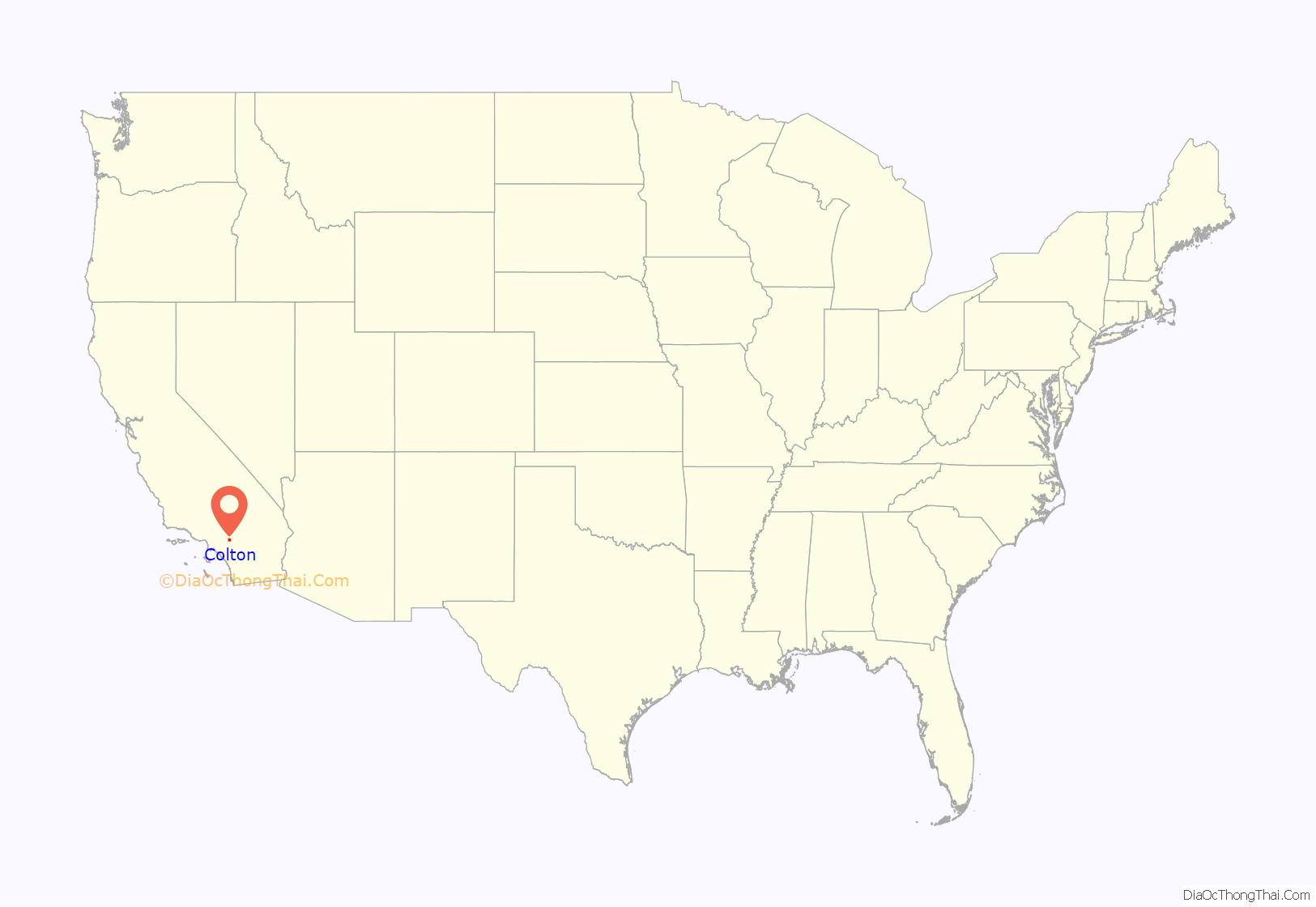
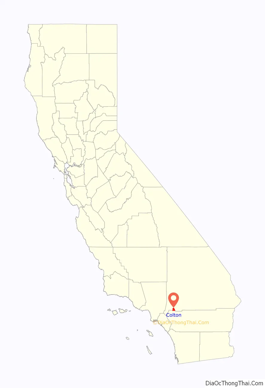
Colton location map. Where is Colton city?
History
Indigenous peoples
Before Spanish settlement, the area was inhabited by the Tongva, Serrano, and Cahuilla. The Tongva village of Homhoangna was located in the area that is now Colton, situated near the base of the foothills of Reche Canyon, historically known as Homhoa Canyon, derived from the Tongva language word homhoabit or “hilly place.”
Spanish and Mexican settlement
During the Mission Era the Mission San Gabriel established a Spanish settlement Politana in 1810, just northeast of what is now Colton. By 1840, Colton was part of two private ranchos, Jurupa and San Bernardino Rancho. From southwest area of modern-day Colton was known as “Agua Mansa” (Gentle Waters). It had been settled by New Mexico pioneers in 1842. What is currently known as Cooley Ranch was known as Indian Knolls for nearly 100 years. This is because the Indians living in what is now the San Bernardino Valley found refuge on the knolls of the property during the flood of 1862.
American settlement
The original owner of the property was George Cooley of Kent, England who had moved to Colton in 1853 and who purchased 200 acres at $3.50 an acre along the Santa Ana River the next year. Cooley was chairman of the San Bernardino County Board of Supervisors in San Bernardino County. By 1873, the property had mushroomed into a 400-acre property. Eventually, when property taxes had increased, the property was sold to Villelli Enterprises of La Habra. The city was named after David Douty Colton, who had been a brigadier general of the California State Militia in 1855, prior to the Civil War. He was later the vice president of the Southern Pacific Railroad Company.
Colton was created in its modern form when the Southern Pacific Railway was built heading east from Los Angeles in 1875. It was founded in 1875 and incorporated in 1887.
Virgil Earp lived in Colton at 528 West “H” Street where he was the town’s first marshal. He resided in Colton from 1883 to 1889. Morgan Earp is buried at Hermosa Cemetery.
1950s–present
In 1953, a significant portion of the historic downtown of Colton was bulldozed to make room for the Ramona Freeway, which would later be named the San Bernardino Freeway. This included the block on the west side of Eighth Street north of J, including the then 70-year-old Helman’s Department Store building, originally housing the First National Bank of Colton, on the corner and the Willet’s Department Store building to its north. Both stores moved to locations further north on Eighth.
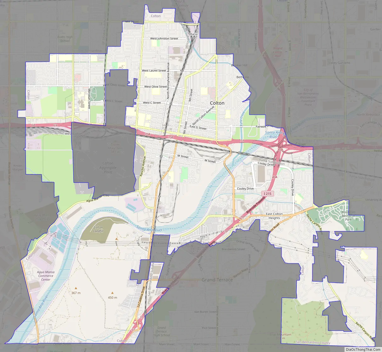
Colton Road Map
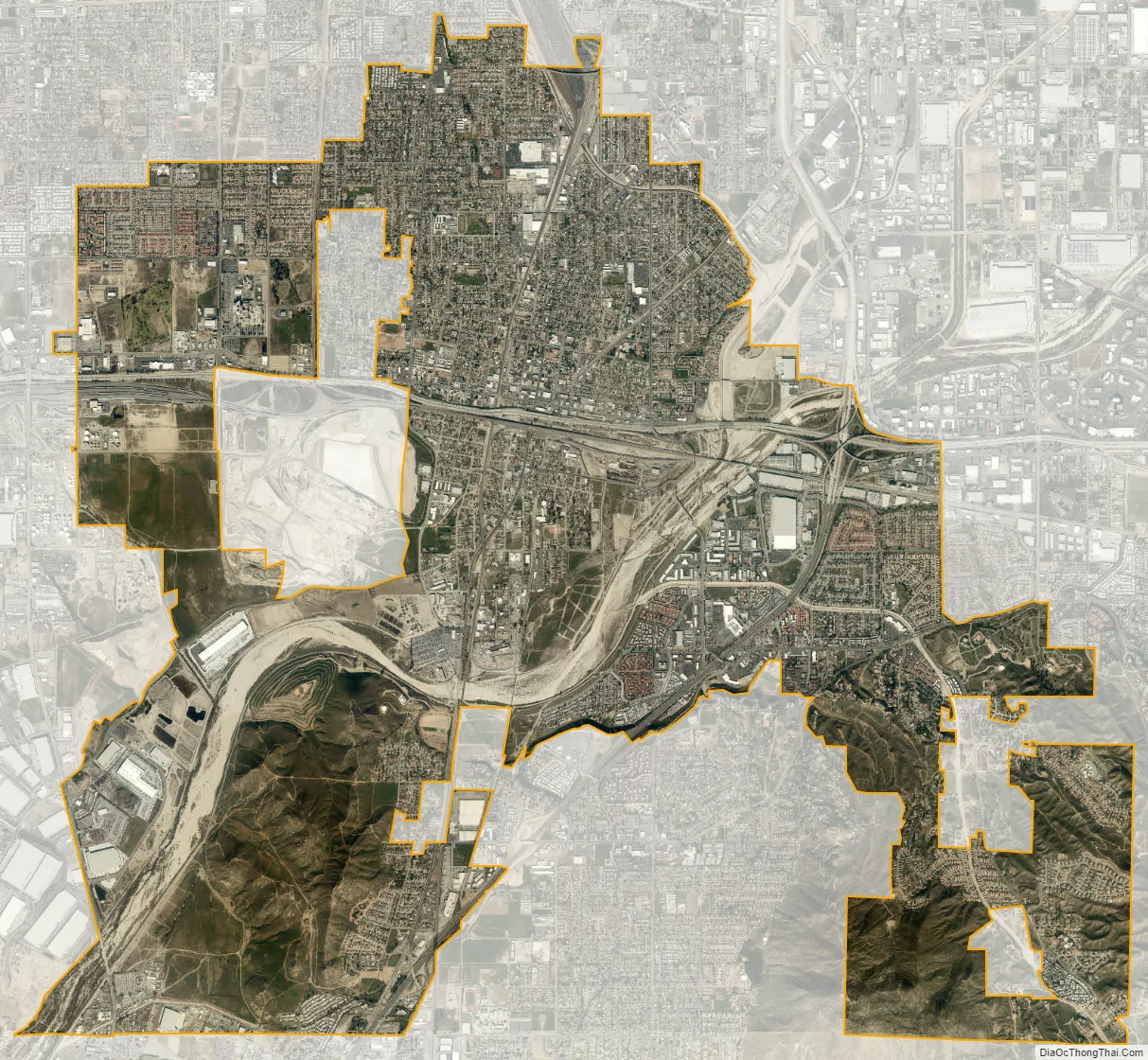
Colton city Satellite Map
Geography
Colton is located at 34°3′54″N 117°19′18″W / 34.06500°N 117.32167°W / 34.06500; -117.32167 (34.064945, -117.321687).
According to the United States Census Bureau, the city has a total area of 16.0 square miles (41 km). 15.3 square miles (40 km) of it is land and 0.7 square miles (1.8 km) of it (4.46%) is water.
Slover Mountain, once the highest point in San Bernardino Valley and the site of the Colton Liberty Flag, is located in the city.
Climate
According to the Köppen Climate Classification system, Colton has a warm-summer Mediterranean climate, abbreviated “Csa” on climate maps.
See also
Map of California State and its subdivision:- Alameda
- Alpine
- Amador
- Butte
- Calaveras
- Colusa
- Contra Costa
- Del Norte
- El Dorado
- Fresno
- Glenn
- Humboldt
- Imperial
- Inyo
- Kern
- Kings
- Lake
- Lassen
- Los Angeles
- Madera
- Marin
- Mariposa
- Mendocino
- Merced
- Modoc
- Mono
- Monterey
- Napa
- Nevada
- Orange
- Placer
- Plumas
- Riverside
- Sacramento
- San Benito
- San Bernardino
- San Diego
- San Francisco
- San Joaquin
- San Luis Obispo
- San Mateo
- Santa Barbara
- Santa Clara
- Santa Cruz
- Shasta
- Sierra
- Siskiyou
- Solano
- Sonoma
- Stanislaus
- Sutter
- Tehama
- Trinity
- Tulare
- Tuolumne
- Ventura
- Yolo
- Yuba
- Alabama
- Alaska
- Arizona
- Arkansas
- California
- Colorado
- Connecticut
- Delaware
- District of Columbia
- Florida
- Georgia
- Hawaii
- Idaho
- Illinois
- Indiana
- Iowa
- Kansas
- Kentucky
- Louisiana
- Maine
- Maryland
- Massachusetts
- Michigan
- Minnesota
- Mississippi
- Missouri
- Montana
- Nebraska
- Nevada
- New Hampshire
- New Jersey
- New Mexico
- New York
- North Carolina
- North Dakota
- Ohio
- Oklahoma
- Oregon
- Pennsylvania
- Rhode Island
- South Carolina
- South Dakota
- Tennessee
- Texas
- Utah
- Vermont
- Virginia
- Washington
- West Virginia
- Wisconsin
- Wyoming


